3050 Confederation Parkway 4th floor
Cooksville, Mississauga, L5B 3Z6
$35/mo
Listed 103 days ago · MLS® W13545334
About this home
Flexible 4th floor office space up to 14,700 SF, with demising options to suit a variety of tenant requirements. O1-13 zoning permits a wide range of professional and institutional uses including medical, legal, financial, educational, conference/event facilities, and more. Existing layout features private offices, boardrooms, meeting rooms, open work areas, common washrooms, and a staff cafeteria. Utilities included. Elevator access and abundant free surface parking. Ideally located minutes from Highway 403, Square One Shopping Centre, Mississauga City Centre and the City Centre Transit Terminal, with excellent access to major highways, public transit and surrounding retail amenities.
Details
- Type
- Office
- Lot
- 389.99 × 405.29 ft
- Garage
- Outside/Surface
- Neighbourhood
- Cooksville
- Municipality
- Mississauga
Heating, cooling and services
- Heating
- Gas Forced Air Open
- Air conditioning
- Yes
- Utilities
- Yes
Building and exterior
- Building area
- 14,700 Square Feet
Rental terms
- Minimum term
- 24 months
More
- Possession
- TBA
- Cross street
- Dundas/Confederation
Location
Location is approximate. See nearby homes on the map
The neighbourhood
Getting around Very walkable
- 🚆 Cooksville GO9 min walk
Within a 10-minute walk: 17 grocery stores, 36 cafés and restaurants, 9 parks, 16 pharmacies. Nearest grocery: Arya Supermarket (0 m). Nearest park: Sergeant David Yakichuk Park (150 m).
Schools nearby
Elementary
- Floradale Public School
EQAO: Gr 6 reading 83%, math 52%13 min walk - Father Daniel Zanon Elementary School Catholic
EQAO: Gr 6 reading 75%, math 62%15 min walk - St. Catherine of Siena School Catholic
EQAO: Gr 6 reading 88%, math 35%15 min walk - St. Philip Elementary School Catholic
EQAO: Gr 6 reading 84%, math 54%15 min walk
Secondary
- T. L. Kennedy Secondary School
EQAO: Gr 9 math 10%, literacy test 85%4 min walk - Father Michael Goetz Secondary School Catholic
EQAO: Gr 9 math 44%, literacy test 80%1.3 km - Elm Drive Public School1.4 km
EQAO: share of students meeting the provincial standard (2024–25). Ontario average: Gr 6 reading 86%, math 51%; Gr 9 math 55%; literacy test 83%.
Closest schools, not school zones. Check which school serves this address with the school board before relying on it.
Who lives here postal area L5B
- Owners / renters
- 55% / 45%
- Median household income
- $79,000
- Average age
- 40
- Children under 15
- 15%
- Homes
- 14% detached, 71% high-rise
- Commute by transit
- 15%
- Population
- 67,131
Languages spoken most at home besides English: Arabic 5.2%, Mandarin 3.3%, Urdu 3%, Polish 2.2%.
Flood and conservation No mapped hazard
Not inside a mapped flood plain or regulated area in Credit Valley Conservation’s mapping.
Screening maps only. Ask the conservation authority for a property inquiry before relying on this.
Safety
Crime Severity Index for Peel Region (Mississauga/Brampton) police: 59 vs 57 for Ontario (2025).
Police-reported figures for the whole police service area, not this street. Rates use the area’s resident population.
Development nearby 5 active
-
65 Agnes Street · 200 mDevelopment application · In process · applied 2026Site plan for a 24 storey building with 358 residential units (358 homes)
-
51-55 Dundas Street West and 60, 66, 70, & 78 Agnes St · 250 mDevelopment application · In process · applied 2025Residential apartment building with commercial uses (559 homes)
-
2570 and 2590 Argyle Road · 400 mDevelopment application · In process · applied 2025New residential apartment building (existing buildings to remain) (255 homes)
-
189 Dundas Street West · 150 mDevelopment application · In process · applied 2022Three residential apartment buildings of 18, 20 and 32 storeys (966 units) with ground fl retail (966 homes)
-
25 & 33 Hillcrest Avenue; 3146, 3154 & 3168 Hurontario St · 400 mDevelopment application · Appealed · applied 20225 residential apartment buildings of 43, 43, 46, 39 and 34 storeys (2224 units) with commercial and community uses (2224 homes)
Rezoning, site plan, subdivision and condominium applications filed with the city.
Distances are approximate. Places © OpenStreetMap contributors. Neighbourhood figures: Statistics Canada, 2021 Census. School results: EQAO via Ontario Data Catalogue (Open Government Licence – Ontario). Flood and regulation mapping: Credit Valley Conservation open data. Crime Severity Index: Statistics Canada. Planning applications: City of Mississauga open data.
Living here
Commute
To Union Station (downtown Toronto): 21 km. Transit times · Driving times
Coming transit
- 🚧 Dundas Hazel McCallion LRT450 m · opening about 2029
- 🚧 Cooksville Hazel McCallion LRT750 m · opening about 2029
- 🚧 Queensway Hazel McCallion LRT1.1 km · opening about 2029
Stations under construction or approved. Opening dates are the latest public estimates and often move.
Noise Nothing major nearby
No highway within 500 m, rail line within 300 m, or airport flight path nearby.
Distances from the map, not noise measurements. Visit at rush hour to judge for yourself.
Internet High-speed
50/10 Mbps or faster available here by cable, fibre or DSL (the federal high-speed target).
From the federal broadband map. Check exact speeds and providers for the address.
Roads, rail, airports and planned stations © OpenStreetMap contributors. Internet: Innovation, Science and Economic Development Canada, National Broadband Data.
Listed by REN/TEX REALTY INC..
Listing information provided by PropTx Innovations Inc. and TRREB; deemed reliable but not guaranteed accurate by PropTx.
Similar homes nearby
See more in Mississauga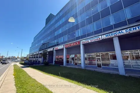
$35/mo
3050 Confederation Parkway 402
Cooksville, Mississauga
Office · MLS® W13545324 · REN/TEX REALTY INC.
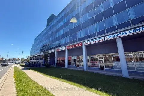
$35/mo
3050 Confederation Parkway 401
Cooksville, Mississauga
Office · MLS® W13545328 · REN/TEX REALTY INC.
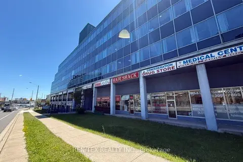
$35/mo
3050 Confederation Parkway 405
Cooksville, Mississauga
Office · MLS® W13868272 · REN/TEX REALTY INC.
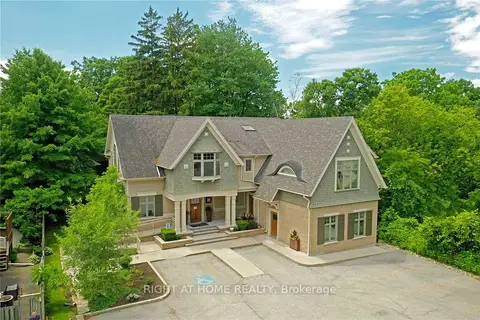
$34/mo
Reduced $3
1 ba
1440 Hurontario Street Main Floor 100
Mineola, Mississauga
Office · MLS® W12002347 · RIGHT AT HOME REALTY
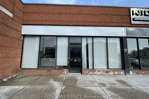
$33/mo
1170 Burnhamthorpe Road W 24
Erindale, Mississauga
Commercial Retail · MLS® W13457966 · ADVISORS REALTY
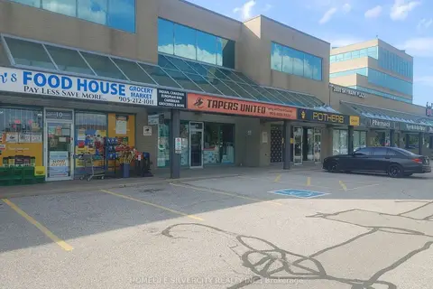
$33/mo
2800 Skymark Avenue 10
Airport Corporate, Mississauga
Commercial Retail · MLS® W13673720 · HOMELIFE SILVERCITY REALTY INC.
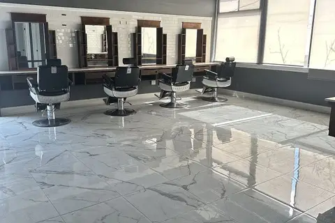
$33/mo
112 Lakeshore Road E 2
Port Credit, Mississauga
Commercial Retail · MLS® W13748858 · ROYAL LEPAGE REAL ESTATE SERVICES PHINNEY REAL EST
$32/mo
Reduced $2
1 ba
1440 Hurontario Street
Mineola, Mississauga
Office · MLS® W12002429 · RIGHT AT HOME REALTY