3045 Southcreek Road 15
Dixie, Mississauga, L4X 2E9
$4,200/mo
- 2 bathrooms
Listed 107 days ago · MLS® W13523998
About this home
Exceptional opportunity to lease 1400 sq ft of versatile office space in a highly desirable East Mississauga business location. This bright, professionally finished unit offers afunctional layout featuring four private offices, a welcoming reception area, two washrooms, one kitchenette and a storage space that can be customized to suit your business needs. Dual entrances provide added convenience, with one entrance from within the complex and another offering direct exterior access for clients and staff. Ideally situated with quick connections to Toronto, Mississauga, Pearson International Airport and surrounding business hubs, this move-in-ready space is perfect for professional offices, consulting firms, insurance, accounting, legal services, and more.
Details
- Type
- Office
- Garage
- None
- Property tax
- $6,343 (2026)
- Neighbourhood
- Dixie
- Municipality
- Mississauga
Interior
- Bathrooms
- 2 × bathroom
Heating, cooling and services
- Heating
- Gas Forced Air Open
- Air conditioning
- Yes
- Utilities
- Available
Building and exterior
- Building area
- 1,400 Square Feet
Rental terms
- Minimum term
- 24 months
More
- Possession
- Modified Gross
- Cross street
- Dundas St W & Hwy 427
- Business type
- Professional Office
Location
Location is approximate. See nearby homes on the map
The neighbourhood
Getting around Very walkable
- 🚆 Dixie GO2.0 km
Within a 10-minute walk: 3 grocery stores, 15 cafés and restaurants, 3 parks, 2 pharmacies. Nearest grocery: Starsky (300 m). Nearest park: Neilson Park (700 m).
Schools nearby
Elementary
- St. Clement Catholic School Catholic
EQAO: Gr 6 reading 96%, math 81%13 min walk - Millwood Junior School
EQAO: Gr 3 reading 74%, math 66%17 min walk - St. Elizabeth Catholic School Catholic
EQAO: Gr 6 reading 90%, math 69%1.4 km - Eatonville Junior School
EQAO: Gr 3 reading 84%, math 56%1.5 km
Secondary
- Bloordale Middle School1.6 km
- Silverthorn Collegiate Institute
EQAO: Gr 9 math 53%, literacy test 84%1.7 km - Etobicoke Year Round Alternative Centre1.7 km
EQAO: share of students meeting the provincial standard (2024–25). Ontario average: Gr 6 reading 86%, math 51%; Gr 9 math 55%; literacy test 83%.
Closest schools, not school zones. Check which school serves this address with the school board before relying on it.
Who lives here postal area L4X
- Owners / renters
- 47% / 53%
- Median household income
- $81,000
- Average age
- 41
- Children under 15
- 16%
- Homes
- 24% detached, 46% high-rise
- Commute by transit
- 14%
- Population
- 18,719
Languages spoken most at home besides English: Urdu 4.5%, Polish 2.9%, Vietnamese 2.6%, Ukrainian 2.5%.
Flood and conservation Flood plain
This address falls inside a mapped flood plain (Toronto and Region Conservation Authority). Building, additions and grading need a permit from the conservation authority, and flood insurance can cost more or be harder to get.
Screening maps only. Ask the conservation authority for a property inquiry before relying on this.
Safety
Crime Severity Index for Peel Region (Mississauga/Brampton) police: 59 vs 57 for Ontario (2025).
Police-reported figures for the whole police service area, not this street. Rates use the area’s resident population.
Development nearby 1 active
-
1995 Dundas Street East · 350 mDevelopment application · In process · applied 2025Two residential apartment buildings with ground floor retail/commercial space and two storey townhomes (941 homes)
Rezoning, site plan, subdivision and condominium applications filed with the city.
Distances are approximate. Places © OpenStreetMap contributors. Neighbourhood figures: Statistics Canada, 2021 Census. School results: EQAO via Ontario Data Catalogue (Open Government Licence – Ontario). Flood and regulation mapping: Toronto and Region Conservation Authority open data. Crime Severity Index: Statistics Canada. Planning applications: City of Mississauga open data.
Living here
Commute
To Union Station (downtown Toronto): 15 km. Transit times · Driving times
Noise Nothing major nearby
No highway within 500 m, rail line within 300 m, or airport flight path nearby.
Distances from the map, not noise measurements. Visit at rush hour to judge for yourself.
Internet High-speed
50/10 Mbps or faster available here by cable, fibre or DSL (the federal high-speed target).
From the federal broadband map. Check exact speeds and providers for the address.
Roads, rail, airports and planned stations © OpenStreetMap contributors. Internet: Innovation, Science and Economic Development Canada, National Broadband Data.
Listed by RED APPLE REAL ESTATE INC..
Listing information provided by PropTx Innovations Inc. and TRREB; deemed reliable but not guaranteed accurate by PropTx.
Similar homes nearby
See more in Mississauga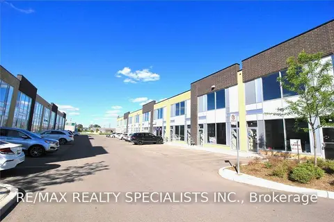
$4,000/mo
1 ba
1235 Queensway Avenue E 14A
Dixie, Mississauga
Office · MLS® W13549416 · RE/MAX REALTY SPECIALISTS INC.
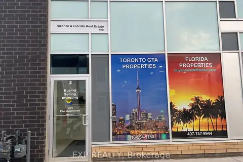
$5,000/mo
Reduced $1,300
1185 Queensway Avenue E 3
Dixie, Mississauga
Office · MLS® W12531124 · EXP REALTY
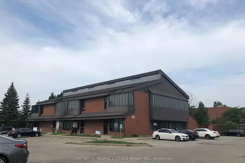
$4,200/mo
2 ba
100 Matheson Boulevard E 201
Gateway, Mississauga
Office · MLS® W13022668 · CENTURY 21 PEOPLE`S CHOICE REALTY INC.
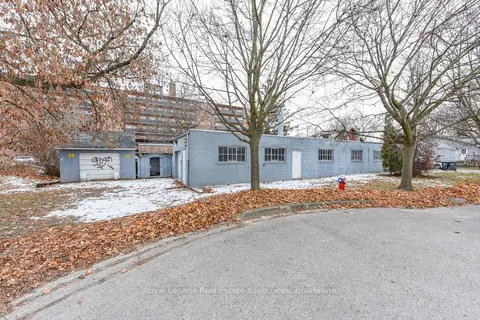
$4,000/mo
1089 Seneca Avenue #Rear
Port Credit, Mississauga
Industrial · MLS® W12801800 · Royal LePage Real Estate Associates
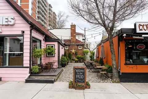
$4,000/mo
11 Stavebank Road N
Port Credit, Mississauga
Commercial Retail · MLS® W13789342 · ROYAL LEPAGE REAL ESTATE ASSOCIATES
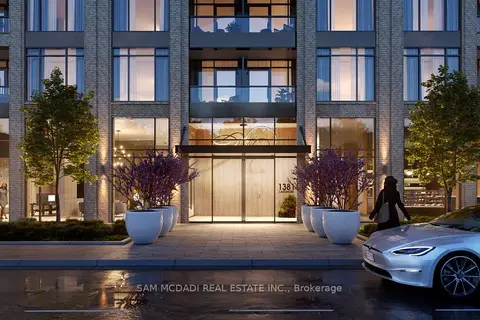
$3,999/mo
1381 Lakeshore Road E 14
Lakeview, Mississauga
Commercial Retail · MLS® W12785442 · SAM MCDADI REAL ESTATE INC.
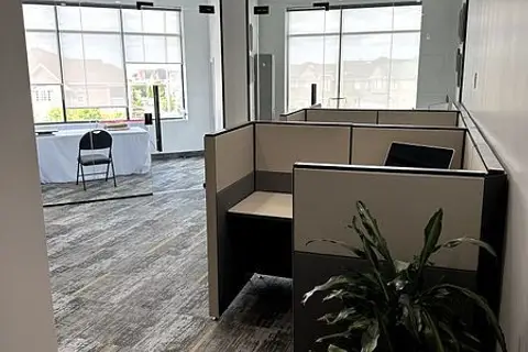
$3,995/mo
3465 Platinum Drive 213
Churchill Meadows, Mississauga
Office · MLS® W13806372 · HOMELIFE/MIRACLE REALTY LTD
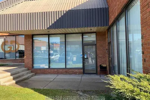
$3,950/mo
Reduced $575
5359 Timberlea Boulevard 24
Northeast, Mississauga
Industrial · MLS® W13502700 · REMAX YOUR COMMUNITY REALTY