30 Emblem Court
Agincourt South-Malvern West, Toronto, M1S 1B1
$1/mo
Listed 6 days ago · MLS® E14029800
About this home
Rare Opportunity to Lease a Freestanding Industrial Building on an Expansive 1.654-Acre Property.Enjoy the privacy, flexibility, and independence of a standalone facility with excellent accessibility and convenient connections to major highways. The generous lot offers exceptional potential for a variety of business operations. Versatile Zoning permits a wide range of uses, including Building Supply Yards, Contractor's Establishments, Carpenter's Shops, Custom Workshops, Service Shops, Cold Storage, Warehousing, and Wholesaling. LOW Additional Rent! Tenant-managed building maintenance provides greater control over operating expenses, making this an attractive and cost-effective opportunity. An Ideal Location to Establish, Operate, and Grow Your Business! 3 phase 600v 400Amps
Details
- Type
- Industrial
- Lot
- 377.94 × 157.56 ft
- Garage
- Outside/Surface
- Property tax
- $64,317 (2026)
- Neighbourhood
- Agincourt South-Malvern West
- Municipality
- Toronto E07
Heating, cooling and services
- Heating
- Gas Forced Air Open
- Air conditioning
- Partial
- Utilities
- Available
Building and exterior
- Building area
- 29,800 Square Feet
Rental terms
- Minimum term
- 36 months
More
- Possession
- Flexible
- Cross street
- Midland and Sheppard
- Business type
- Warehouse
Location
Location is approximate. See nearby homes on the map
The neighbourhood
Getting around Very walkable
- 🚆 Agincourt GO17 min walk
Within a 10-minute walk: 2 grocery stores, 20 cafés and restaurants, 4 parks, 2 pharmacies. Nearest grocery: Foody World (700 m). Nearest park: Metrogate Park (400 m).
Schools nearby
Elementary
- Agincourt Junior Public School
EQAO: Gr 6 reading 94%, math 88%18 min walk - Inglewood Heights Junior Public School
EQAO: Gr 6 reading 91%, math 53%1.2 km - C.D. Farquharson Junior Public School
EQAO: Gr 6 reading 92%, math 68%1.2 km - Glamorgan Junior Public School
EQAO: Gr 6 reading 88%, math 43%1.2 km
Secondary
- Agincourt Collegiate Institute1.2 km
- Sir Alexander Mackenzie Senior Public School1.2 km
EQAO: share of students meeting the provincial standard (2024–25). Ontario average: Gr 6 reading 86%, math 51%; Gr 9 math 55%; literacy test 83%.
Closest schools, not school zones. Check which school serves this address with the school board before relying on it.
Who lives here postal area M1S
- Owners / renters
- 75% / 25%
- Median household income
- $81,000
- Average age
- 45
- Children under 15
- 12%
- Homes
- 35% detached, 36% high-rise
- Commute by transit
- 21%
- Population
- 37,663
Languages spoken most at home besides English: Yue (Cantonese) 20.2%, Mandarin 13.7%, Tamil 4.2%, Gujarati 1.3%.
Flood and conservation Flood plain
This address falls inside a mapped flood plain (Toronto and Region Conservation Authority). Building, additions and grading need a permit from the conservation authority, and flood insurance can cost more or be harder to get.
Screening maps only. Ask the conservation authority for a property inquiry before relying on this.
Safety
Major crime per resident in Agincourt South-Malvern West (2025): about the Toronto average, down 15% from the year before.
- Assault39% below average
- Break and enter37% above average
- Auto theft22% above average
- Robbery21% above average
- Theft from vehiclesabout average
- Shootings159% above average
Crime Severity Index for Toronto police: 60 vs 57 for Ontario (2025).
Police-reported figures for the whole neighbourhood, not this street. Rates use the area’s resident population.
Development nearby
-
2035 KENNEDY RD · 450 mSite Plan · Closed · applied 2022Amendment to SPA in folder 16 - 132832Application details
Rezoning, site plan, subdivision and condominium applications filed with the city.
Distances are approximate. Places © OpenStreetMap contributors. Neighbourhood figures: Statistics Canada, 2021 Census. School results: EQAO via Ontario Data Catalogue (Open Government Licence – Ontario). Flood and regulation mapping: Toronto and Region Conservation Authority open data. Neighbourhood crime: Toronto Police Service Public Safety Data Portal (Open Government Licence – Toronto Police Service). Crime Severity Index: Statistics Canada. Planning applications: City of Toronto open data.
Living here
Commute
To Union Station (downtown Toronto): 17 km. Transit times · Driving times
Noise 2 sources nearby
- 🛣️ Highway 401100 m
- 🚆 Rail line (GO Transit)250 m
Distances from the map, not noise measurements. Visit at rush hour to judge for yourself.
What can be built E
Employment Industrial (with a site-specific exception).
From Toronto’s Zoning By-law 569-2013 map. Lot size, setbacks and trees decide what actually fits; check with a planner before you buy.
Trees
0 City street trees within 100 m. That’s fewer than the Toronto average of 42.
Trees on City boulevards only, not private yards or parks.
Internet High-speed
50/10 Mbps or faster available here by cable, fibre or DSL (the federal high-speed target).
From the federal broadband map. Check exact speeds and providers for the address.
Zoning, heritage, building permits and street trees: City of Toronto open data (Open Government Licence – Toronto). Roads, rail, airports and planned stations © OpenStreetMap contributors. Internet: Innovation, Science and Economic Development Canada, National Broadband Data.
Listed by CENTURY 21 KING`S QUAY REAL ESTATE INC..
Listing information provided by PropTx Innovations Inc. and TRREB; deemed reliable but not guaranteed accurate by PropTx.
Similar homes nearby
See more in Toronto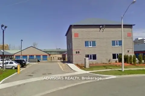
$1/mo
1 ba
85 Executive Court Unit 6
Agincourt South-Malvern West, Toronto
Industrial · MLS® E13452254 · ADVISORS REALTY
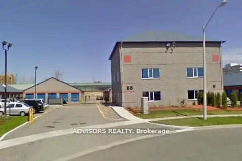
$1/mo
1 ba
85 Executive Court Unit 5
Agincourt South-Malvern West, Toronto
Industrial · MLS® E13452284 · ADVISORS REALTY
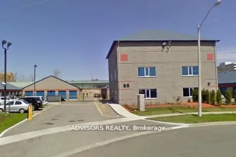
$1/mo
1 ba
85 Executive Court Unit 4
Agincourt South-Malvern West, Toronto
Industrial · MLS® E13452304 · ADVISORS REALTY
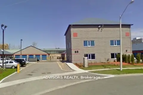
$1/mo
1 ba
85 Executive Court Unit 2
Agincourt South-Malvern West, Toronto
Industrial · MLS® E13452330 · ADVISORS REALTY
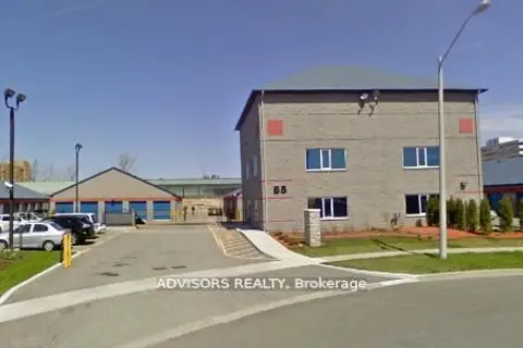
$1/mo
1 ba
85 Executive Court Unit 1
Agincourt South-Malvern West, Toronto
Industrial · MLS® E13452348 · ADVISORS REALTY
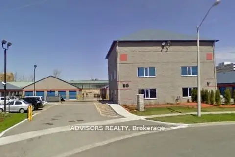
$1/mo
1 ba
85 Executive Court Unit 7
Agincourt South-Malvern West, Toronto
Industrial · MLS® E13452374 · ADVISORS REALTY
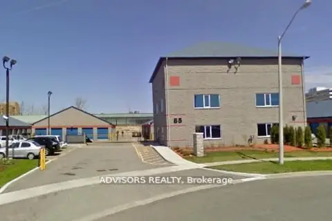
$1/mo
1 ba
85 Executive Court Unit 8
Agincourt South-Malvern West, Toronto
Industrial · MLS® E13452392 · ADVISORS REALTY
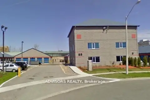
$1/mo
1 ba
85 Executive Court Unit 3
Agincourt South-Malvern West, Toronto
Industrial · MLS® E13452406 · ADVISORS REALTY