28 South Unionville Avenue 7
Village Green-South Unionville, Markham, L3R 4P9
$3,200/mo
Listed 66 days ago · MLS® N13679958
About this home
**Prime South Unionville Location!** Excellent Commercial Space At **28 South Unionville Ave, Unit #7**, Conveniently Located In The Heart Of South Unionville, Near Kennedy Rd & Hwy 7. Surrounded By Established Residential Communities, Restaurants, Schools, Professional Offices, T&T Supermarket, Go Train Station, YMCA, Pan Am Centre And Major Transportation Routes. Newly Renovated Space With **Private Washroom And Kitchen**, South-Facing Exposure And Convenient Access From Both The Street And Indoor Parking.Flexible Space Suitable For A Variety Of Business Uses, Including Retail, Professional Office, Studio, Spa, Workshop, Courier Services And More. Excellent Opportunity For **Business Owners, Investors Or Professional Users**. Ample Outdoor Parking Plus **2 Levels Of Underground Parking** For Added Convenience. Great Visibility And Accessibility In A Growing And Highly Desirable Community. Don't Miss This Excellent Opportunity To Establish Your Business In South Unionville!
Details
- Type
- Commercial Retail
- Garage
- Public
- Property tax
- $5,768 (2025)
- Neighbourhood
- Village Green-South Unionville
- Municipality
- Markham
Heating, cooling and services
- Heating
- Gas Forced Air Closed
- Air conditioning
- Yes
- Utilities
- Available
Building and exterior
- Building area
- 646 Square Feet
Rental terms
- Minimum term
- 12 months
More
- Possession
- Nov 1st, 2026
- Cross street
- South Unionville Ave
History of this address
1 earlier listing at this address, with sold and leased prices. Create a free account or sign in to see them.
Location
Location is approximate. See nearby homes on the map
The neighbourhood
Getting around Very walkable
- 🚆 Unionville GO15 min walk
Within a 10-minute walk: 2 grocery stores, 40 cafés and restaurants, 4 parks, 3 pharmacies. Nearest grocery: 大統華 T&T Supermarket (150 m). Nearest park: Ray Street Park (150 m).
Schools nearby
Elementary
- Unionville Meadows Public School
EQAO: Gr 6 reading 87%, math 81%12 min walk - Kennedy Montessori School Private1.2 km
- Parkview Public School
EQAO: Gr 6 reading 92%, math 85%1.5 km - Yip's Music & Montessori Elementary School Private1.5 km
Secondary
- Bill Crothers Secondary School
EQAO: Gr 9 math 79%, literacy test 98%10 min walk - Milliken Mills High School
EQAO: Gr 9 math 75%, literacy test 90%2.0 km - Father Michael McGivney Catholic Academy Catholic · Private
EQAO: Gr 9 math 82%, literacy test 91%2.1 km
EQAO: share of students meeting the provincial standard (2024–25). Ontario average: Gr 6 reading 86%, math 51%; Gr 9 math 55%; literacy test 83%.
Closest schools, not school zones. Check which school serves this address with the school board before relying on it.
Who lives here postal area L3R
- Owners / renters
- 83% / 17%
- Median household income
- $93,000
- Average age
- 45
- Children under 15
- 13%
- Homes
- 58% detached, 17% high-rise
- Commute by transit
- 7%
- Population
- 62,060
Languages spoken most at home besides English: Yue (Cantonese) 23.8%, Mandarin 18.4%, Tamil 1.1%, Tagalog (Pilipino, Filipino) 0.6%.
Flood and conservation No mapped hazard
Not inside a mapped flood plain or regulated area.
Screening maps only. Ask the conservation authority for a property inquiry before relying on this.
Safety
Crime Severity Index for York Region police: 50 vs 57 for Ontario (2025).
Police-reported figures for the whole police service area, not this street. Rates use the area’s resident population.
Distances are approximate. Places © OpenStreetMap contributors. Neighbourhood figures: Statistics Canada, 2021 Census. School results: EQAO via Ontario Data Catalogue (Open Government Licence – Ontario). Crime Severity Index: Statistics Canada.
Living here
Commute
To Union Station (downtown Toronto): 24 km. Transit times · Driving times
Noise 1 source nearby
- 🛣️ 407 ETR500 m
Distances from the map, not noise measurements. Visit at rush hour to judge for yourself.
Internet High-speed
50/10 Mbps or faster available here by cable, fibre or DSL (the federal high-speed target).
From the federal broadband map. Check exact speeds and providers for the address.
Roads, rail, airports and planned stations © OpenStreetMap contributors. Internet: Innovation, Science and Economic Development Canada, National Broadband Data.
Listed by RE/MAX EXCEL REALTY LTD..
Listing information provided by PropTx Innovations Inc. and TRREB; deemed reliable but not guaranteed accurate by PropTx.
Similar homes nearby
See more in Markham
$3,000/mo
8333 Kennedy Road 2011
Village Green-South Unionville, Markham
Commercial Retail · MLS® N13831906 · HC REALTY GROUP INC.

$3,200/mo
8901 Woodbine Avenue 219
Buttonville, Markham
Office · MLS® N13714638 · BRIDLEPATH PROGRESSIVE REAL ESTATE INC.
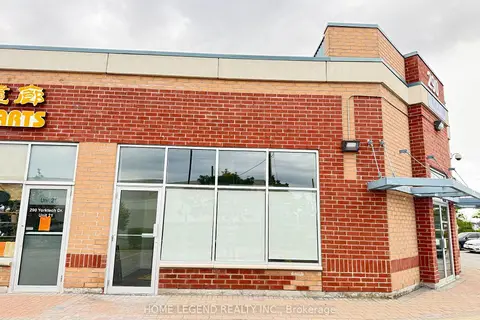
$3,200/mo
290 Yorktech Dr Drive Unit 20
Buttonville, Markham
Industrial · MLS® N13805076 · HOME LEGEND REALTY INC.
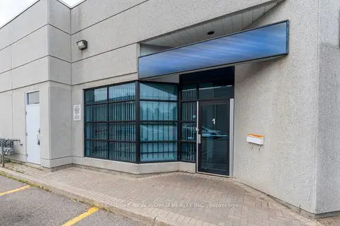
$3,200/mo
145 Royal Crest Court 1
Milliken Mills West, Markham
Industrial · MLS® N13826982 · HOMELIFE NEW WORLD REALTY INC.
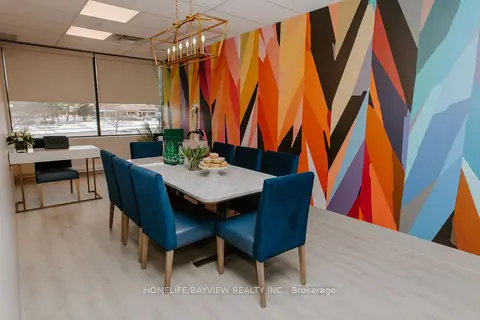
$3,300/mo
Address withheld · Bullock
Bullock, Markham
Commercial Retail · MLS® N12890166 · HOMELIFE/BAYVIEW REALTY INC.
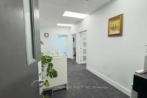
$3,100/mo
3601 Highway 7 E 811
Unionville, Markham
Office · MLS® N13721794 · HOMELIFE LANDMARK REALTY INC.
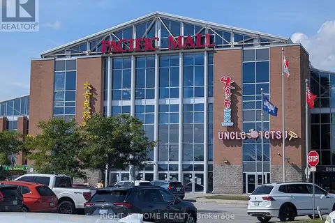
$3,300/mo
4300 Steeles Avenue E D61
Milliken Mills East, Markham
Commercial Retail · MLS® N13886092 · RIGHT AT HOME REALTY
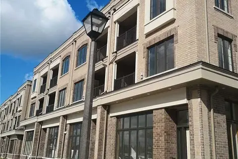
$3,360/mo
1 ba
22 Nipigon Avenue
Berczy, Markham
Commercial Retail · MLS® N13704968 · HOMECOMFORT REALTY INC.