28 Carlton Road Lower
Cundles East, Barrie, L4M 5J6
$1,600/mo
- 2 bedrooms
- 1 bathrooms
- 0 parking
- 1100-1500 sq ft
Listed 3 days ago · MLS® S14087148
About this home
FANTASTIC LOCATION! BEAUTIFULLY UPDATED 2-BEDROOM UNIT IN BARRIE! Welcome to 28 Carlton Road, ideally located in a quiet residential neighbourhood with convenient access to Bayfield Street and everything you need! Just minutes from Georgian Mall, grocery stores, restaurants, shopping, entertainment, and everyday essentials, this location makes running errands and getting around Barrie a breeze. Public transit is nearby, making commuting and exploring the city easy and convenient. Inside, enjoy a well-maintained, updated unit featuring two bedrooms, no carpet, and stainless steel appliances for comfortable, low-maintenance living. Additional features include shared laundry and access to a shared backyard space. Offered at $1,600/month plus 40% of utilities, this is a fantastic opportunity to enjoy comfortable living in a convenient Barrie location, close to shopping, transit, and everyday amenities!
Details
- Type
- Semi-Detached
- Style
- Bungalow-Raised
- Size
- 1100-1500 sq ft
- Basement
- Finished, Separate Entrance
- Garage
- Built-In
- Kitchens
- 1
- Neighbourhood
- Cundles East
- Municipality
- Barrie
- Rent increase limit
- Depends on when the unit was first lived in: before Nov. 15, 2018 it’s covered by Ontario’s yearly limit (2.1% in 2026); after, there’s no cap.
Interior
- Bedrooms
- 2 above ground
- Bathrooms
- 1 × 3-piece (lower)
- Rooms
- 5 above ground
- Family room or den
- No
- Fireplace
- No
- Laundry
- Shared
- Features
- Carpet Free
- Furnished
- Unfurnished
Heating, cooling and services
- Heating
- Forced Air, Gas
- Air conditioning
- Central Air
- Water and sewer
- Sewer
Building and exterior
- Style
- Bungalow-Raised
- Exterior
- Brick Front
- Roof
- Shingles
- Faces
- West
- Outdoor
- Garden Shed
Parking
- Driveway and parking
- Available
Rental terms
- Rent includes
- Building Maintenance
More
- Possession
- ASAP
- Nearby
- Fenced Yard, Park, Public Transit, School Bus Route
- Cross street
- Bayfield & Cundles
Rooms
| Room | Level | Size | Features |
|---|---|---|---|
| Laundry | Lower | Tile Floor | |
| Kitchen | Lower | Eat-in Kitchen, Stainless Steel Appl, Laminate | |
| Living Room | Lower | Open Concept, Laminate, Pot Lights | |
| Bedroom | Lower | Window, Laminate, Closet | |
| Bedroom 2 | Lower | Window, Laminate, Closet |
History of this address
2 earlier listings at this address, with sold and leased prices. Create a free account or sign in to see them.
Location
Location is approximate. See nearby homes on the map
The neighbourhood
Getting around Very walkable
- 🚆 Allandale Waterfront GO3.6 km
Within a 10-minute walk: 3 grocery stores, 15 cafés and restaurants, 4 parks, 2 pharmacies. Nearest grocery: Centra Food Market (350 m). Nearest park: Redpath Park (200 m).
Schools nearby
Elementary
- Cundles Heights Public School
EQAO: Gr 6 reading 77%, math 42%7 min walk - Hillcrest Public School
EQAO: Gr 6 reading 74%, math 39%1.2 km - Terry Fox Elementary School
EQAO: Gr 6 reading 90%, math 71%1.3 km - West Bayfield Elementary School
EQAO: Gr 6 reading 60%, math 20%1.6 km
Secondary
- Barrie North Collegiate Institute
EQAO: Gr 9 math 48%, literacy test 88%15 min walk - École secondaire catholique Nouvelle-Alliance French
EQAO: Gr 9 math 51%, literacy test 95%1.4 km - St. Joseph's Catholic High School Catholic
EQAO: Gr 9 math 44%, literacy test 81%1.7 km
EQAO: share of students meeting the provincial standard (2024–25). Ontario average: Gr 6 reading 86%, math 51%; Gr 9 math 55%; literacy test 83%.
Closest schools, not school zones. Check which school serves this address with the school board before relying on it.
Who lives here postal area L4M
- Owners / renters
- 62% / 38%
- Median household income
- $87,000
- Average age
- 40
- Children under 15
- 16%
- Homes
- 56% detached, 9% high-rise
- Commute by transit
- 5%
- Population
- 46,902
Languages spoken most at home besides English: Mandarin 0.8%, Punjabi (Panjabi) 0.8%, Spanish 0.7%, Russian 0.5%.
Flood and conservation No mapped hazard
Not inside a mapped flood plain or regulated area.
Screening maps only. Ask the conservation authority for a property inquiry before relying on this.
Safety
Crime Severity Index for Barrie police: 59 vs 57 for Ontario (2025).
Police-reported figures for the whole police service area, not this street. Rates use the area’s resident population.
Distances are approximate. Places © OpenStreetMap contributors. Neighbourhood figures: Statistics Canada, 2021 Census. School results: EQAO via Ontario Data Catalogue (Open Government Licence – Ontario). Crime Severity Index: Statistics Canada.
Living here
Commute
To Union Station (downtown Toronto): 88 km. Transit times · Driving times
Noise 1 source nearby
- 🛣️ Highway 400500 m
Distances from the map, not noise measurements. Visit at rush hour to judge for yourself.
Internet High-speed
50/10 Mbps or faster available here by cable, fibre or DSL (the federal high-speed target).
From the federal broadband map. Check exact speeds and providers for the address.
Roads, rail, airports and planned stations © OpenStreetMap contributors. Internet: Innovation, Science and Economic Development Canada, National Broadband Data.
Listed by RE/MAX HALLMARK CHAY REALTY.
Listing information provided by PropTx Innovations Inc. and TRREB; deemed reliable but not guaranteed accurate by PropTx.
Similar homes nearby
See more in Barrie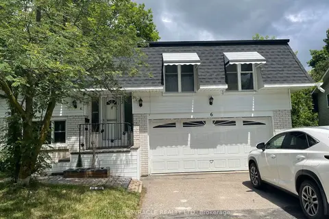
$1,600/mo
1 bd1 ba2 pk1100-1500 ft²
6 Wall Court Basement
Cundles East, Barrie
Detached · MLS® S14089602 · HOMELIFE/MIRACLE REALTY LTD
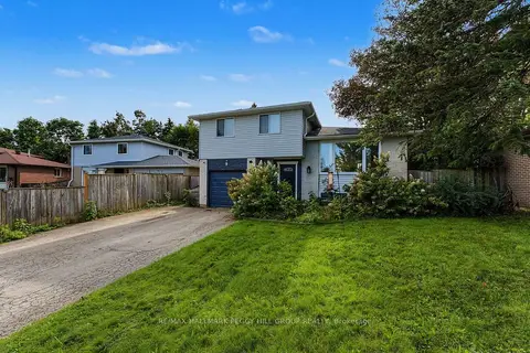
$1,700/mo
1 bd1 ba2 pk1100-1500 ft²
9 Baker Crescent Lower
Cundles East, Barrie
Detached · MLS® S13820216 · RE/MAX HALLMARK PEGGY HILL GROUP REALTY
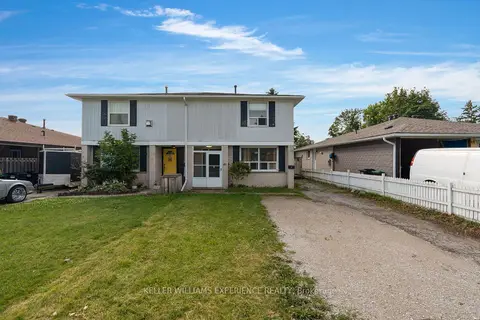
$1,500/mo
1 bd1 ba2 pk1100-1500 ft²
49 Daphne Crescent Lower
Cundles East, Barrie
Duplex · MLS® S14080850 · KELLER WILLIAMS EXPERIENCE REALTY
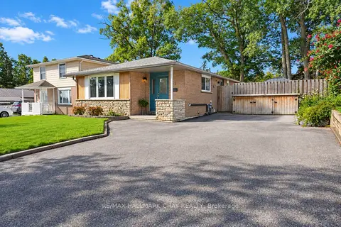
$1,750/mo
1 bd1 ba2 pk700-1100 ft²
11 Daphne Crescent LOWER
Cundles East, Barrie
Lower Level · MLS® S13868848 · RE/MAX HALLMARK CHAY REALTY
$1,795/mo
2 bd1 ba2 pk700-1100 ft²
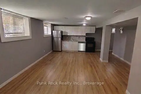
26 Cundles Road E 2 (BSMT)
Cundles East, Barrie
Detached · MLS® S13781694 · Punk Rock Realty Inc.
$1,800/mo
2 bd1 ba1 pk< 700 ft²
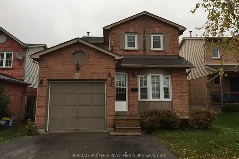
80 Hadden Crescent Lower
Cundles East, Barrie
Detached · MLS® S13669050 · HIGHGATE PROPERTY INVESTMENTS BROKERAGE INC.
$1,600/mo
Reduced $100
2 bd1 ba1 pk< 700 ft²
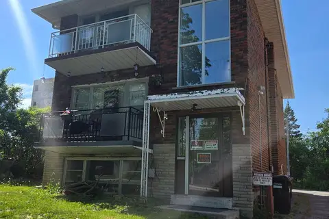
42 Rose Street 1
Wellington, Barrie
Triplex · MLS® S13503988 · ENGEL & VOLKERS TORONTO CITY
$1,600/mo
1 bd1 ba2 pk2000-2500 ft²
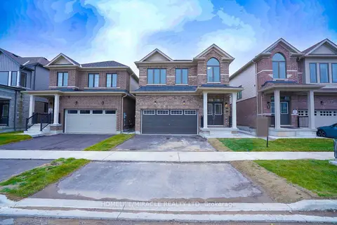
31 Prudhoe Terrace Lower
Innis-Shore, Barrie
Detached · MLS® S13749806 · HOMELIFE/MIRACLE REALTY LTD