2705 Elgin Mills Road E BLDG B #1-4
Cathedraltown, Markham, L6C 1K8
$19/mo
Listed 337 days ago · MLS® N12551150
About this home
NEW STATE OF THE ART BUILDING. 32' CLEAR HEIGHT. 3 TRUCK-LEVEL & 2 DRIVE-IN DOORS. STEPS FROM HIGHWAY 404. OCCUPANCY EXPECTED FOR Q1 2027.
Details
- Type
- Industrial
- Garage
- Outside/Surface
- Property tax
- $5 (2025)
- Neighbourhood
- Cathedraltown
- Municipality
- Markham
Heating, cooling and services
- Heating
- Radiant
- Utilities
- Available
Building and exterior
- Building area
- 26,311 Square Feet
Rental terms
- Minimum term
- 60 months
More
- Possession
- Q4 2026
- Cross street
- ELGIN MILLS RD E & HWY 404
Location
Location is approximate. See nearby homes on the map
The neighbourhood
Getting around Somewhat walkable
- 🚆 Gormley4.6 km
Within a 10-minute walk: no grocery stores, 2 cafés and restaurants, 7 parks, 1 pharmacy. Nearest park: West Cathedral Pond (250 m).
Schools nearby
Elementary
- Victoria Square Public School
EQAO: Gr 6 reading 91%, math 71%12 min walk - Sir Wilfrid Laurier Public School
EQAO: Gr 6 reading 99%, math 98%18 min walk - Nokiidaa Public School
EQAO: Gr 6 reading 98%, math 72%1.4 km - Our Lady Help of Christians Catholic Elementary School Catholic
EQAO: Gr 6 reading 89%, math 60%1.8 km
Secondary
- Richmond Green Secondary School
EQAO: Gr 9 math 82%, literacy test 91%1.4 km
EQAO: share of students meeting the provincial standard (2024–25). Ontario average: Gr 6 reading 86%, math 51%; Gr 9 math 55%; literacy test 83%.
Closest schools, not school zones. Check which school serves this address with the school board before relying on it.
Who lives here postal area L6C
- Owners / renters
- 86% / 14%
- Median household income
- $118,000
- Average age
- 40
- Children under 15
- 18%
- Homes
- 62% detached, 1% high-rise
- Commute by transit
- 6%
- Population
- 51,738
Languages spoken most at home besides English: Yue (Cantonese) 24.8%, Mandarin 16.2%, Tamil 0.8%, Urdu 0.5%.
Flood and conservation No mapped hazard
Not inside a mapped flood plain or regulated area.
Screening maps only. Ask the conservation authority for a property inquiry before relying on this.
Safety
Crime Severity Index for York Region police: 50 vs 57 for Ontario (2025).
Police-reported figures for the whole police service area, not this street. Rates use the area’s resident population.
Distances are approximate. Places © OpenStreetMap contributors. Neighbourhood figures: Statistics Canada, 2021 Census. School results: EQAO via Ontario Data Catalogue (Open Government Licence – Ontario). Crime Severity Index: Statistics Canada.
Living here
Commute
To Union Station (downtown Toronto): 28 km. Transit times · Driving times
Noise 1 source nearby
- 🛣️ Highway 404250 m
Distances from the map, not noise measurements. Visit at rush hour to judge for yourself.
Internet High-speed
50/10 Mbps or faster available here by cable, fibre or DSL (the federal high-speed target).
From the federal broadband map. Check exact speeds and providers for the address.
Roads, rail, airports and planned stations © OpenStreetMap contributors. Internet: Innovation, Science and Economic Development Canada, National Broadband Data.
Listed by TRINIHILL REALTY CORP..
Listing information provided by PropTx Innovations Inc. and TRREB; deemed reliable but not guaranteed accurate by PropTx.
Similar homes nearby
See more in Markham
$19/mo
2705 Elgin Mills Road E BLDG B #1-6
Cathedraltown, Markham
Industrial · MLS® N12551180 · TRINIHILL REALTY CORP.

$19/mo
2705 Elgin Mills Road E BLDG B 1&2
Cathedraltown, Markham
Industrial · MLS® N12730182 · TRINIHILL REALTY CORP.

$18/mo
2705 Elgin Mills Road E BLDG F
Cathedraltown, Markham
Industrial · MLS® N12730208 · TRINIHILL REALTY CORP.

$18/mo
2705 Elgin Mills Road E BLDG F #1
Cathedraltown, Markham
Industrial · MLS® N12730242 · TRINIHILL REALTY CORP.
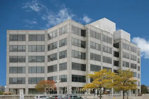
$19/mo
175 Commerce Valley Drive W 230
Commerce Valley, Markham
Office · MLS® N5535418 · COLLIERS
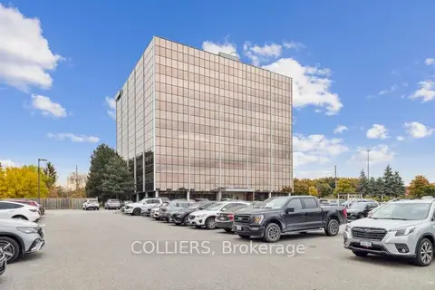
$19/mo
7030 Woodbine Avenue 203
Milliken Mills West, Markham
Office · MLS® N11881498 · COLLIERS
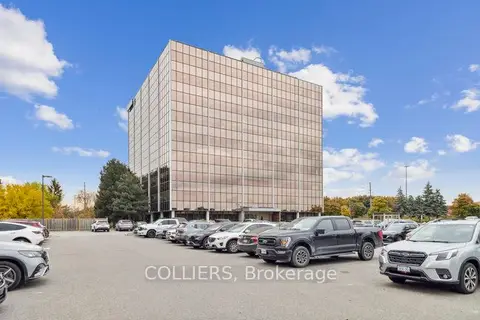
$19/mo
7050 Woodbine Avenue 307
Milliken Mills West, Markham
Office · MLS® N12178414 · COLLIERS
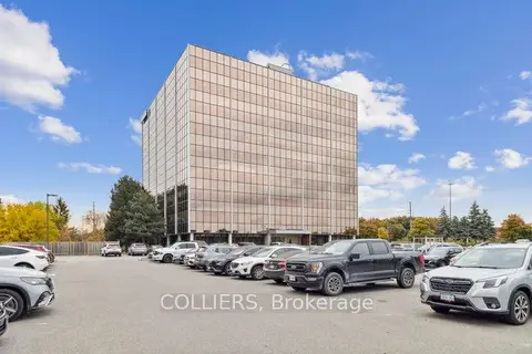
$19/mo
7030 Woodbine Avenue 600
Milliken Mills West, Markham
Office · MLS® N12456291 · COLLIERS