250 Queen Street E
Moss Park, Toronto, M5A 1S3
$5,900,000
Listed 335 days ago · MLS® C12554222
About this home
Exceptional investment and redevelopment opportunity in the heart of downtown Toronto. Located at 250 Queen Street East, this high-visibility mixed-use property offers premium land positioning directly across from active high-rise development and within easy distance to the Eaton Centre, Queen Station, Financial District, TMU, George Brown, hospitals, and major employment hubs. The main level features a spacious vacant 3,487 sq ft commercial space suitable for retail, service, hospitality, wellness, office, or creative commercial uses. Strong foot and vehicle traffic provide excellent visibility and branding potential. Above the commercial space is a licensed 20-room apartment complex totaling approx. 4,418 sq ft, offering immediate rental income and flexible future options. Ideal for investors seeking both cash flow and long-term upside. Total above-ground area: 7,905 sq ft. Located in the rapidly transforming Moss Park corridor, surrounded by new and proposed condominium towers, modern retail, transit routes, and ongoing revitalization. This is one of Toronto's most active areas for urban intensification and mixed-use development. Perfect for developers, land bankers, end-users, or value-add investors looking for a downtown asset with future potential. Prime Queen Street East exposure, unmatched walkability, and strong long-term appreciation fundamentals make this a rare opportunity in Toronto's core.
Details
- Type
- Investment
- Lot
- 35.25 × 99.99 ft
- Garage
- None
- Property tax
- $30,150 (2025)
- Neighbourhood
- Moss Park
- Municipality
- Toronto C08
Heating, cooling and services
- Heating
- Gas Forced Air Closed
- Air conditioning
- Yes
- Water and sewer
- Sanitary
- Utilities
- Available
Building and exterior
- Building area
- 3,487 Square Feet
More
- Possession
- TBD
- Cross street
- Queen and Sherbourne
- Business type
- Apts - 13 To 20 Units
History of this address
1 earlier listing at this address, with sold and leased prices. Create a free account or sign in to see them.
Location
Location is approximate. See nearby homes on the map
Recent sales nearby
See what similar homes within 1 km sold for in the last year. Create a free account or sign in to see them.
The neighbourhood
Getting around Very walkable
- 🚇 Queen Subway14 min walk
- 🚇 King Subway16 min walk
- 🚆 Toronto Union Station GO1.5 km
Within a 10-minute walk: 15 grocery stores, 224 cafés and restaurants, 27 parks, 22 pharmacies. Nearest grocery: Kabul Farms Supermarket (350 m). Nearest park: Moss Park (200 m).
Schools nearby
Elementary
- École élémentaire Gabrielle-Roy French
EQAO: Gr 6 reading 100%, math 88%6 min walk - St. Paul Catholic School Catholic
EQAO: Gr 6 reading 87%, math 50%9 min walk - Market Lane Junior and Senior Public School
EQAO: Gr 6 reading 94%, math 50%9 min walk - Lord Dufferin Junior and Senior Public School
EQAO: Gr 6 reading 80%, math 30%10 min walk
Secondary
- Inglenook Community School
EQAO: literacy test 50%12 min walk - Collège français French18 min walk
EQAO: share of students meeting the provincial standard (2024–25). Ontario average: Gr 6 reading 86%, math 51%; Gr 9 math 55%; literacy test 83%.
Closest schools, not school zones. Check which school serves this address with the school board before relying on it.
Who lives here postal area M5A
- Owners / renters
- 35% / 65%
- Median household income
- $71,000
- Average age
- 40
- Children under 15
- 9%
- Homes
- 0% detached, 78% high-rise
- Commute by transit
- 28%
- Population
- 48,978
Languages spoken most at home besides English: Bengali 1.8%, Mandarin 1.7%, Yue (Cantonese) 1.5%, Spanish 1.3%.
Flood and conservation No mapped hazard
Not inside a mapped flood plain or regulated area.
Screening maps only. Ask the conservation authority for a property inquiry before relying on this.
Safety
Major crime per resident in Moss Park (2025): 119% above the Toronto average, about the same from the year before.
- Assault190% above average
- Break and enter85% above average
- Auto theft64% below average
- Robbery112% above average
- Theft from vehicles30% above average
- Shootings58% below average
Crime Severity Index for Toronto police: 60 vs 57 for Ontario (2025).
Police-reported figures for the whole neighbourhood, not this street. Rates use the area’s resident population.
Development nearby 30 active
-
136 JARVIS ST · 450 mSite Plan · Under Review · applied 2026Proposed 11-space surface commercial parking lot.Application details
-
231 RICHMOND ST E · 350 mPlan of Condominium · Draft Plan Approved · applied 2026Draft Plan of Condominium for 39-storey mixed-use development with four levels of underground parking, and containing 516 residential dwelling units.Application details
-
207 JARVIS ST · 450 mOfficial Plan / Zoning By-law Amendment · Under Review · applied 2026This application proposes to amend the Official Plan and Zoning By-law to permit a 32-storey mixed-use building, containing 315 dwelling units (including 38…Application details
-
191 SHERBOURNE ST · 250 mSite Plan · Under Review · applied 2024Site Plan application to permit two tall buildings (39- and 40-storeys), containing 693 new residential dwelling units, 525 square metres of non-residential…Application details
-
150 SHERBOURNE ST · 150 mSite Plan · Under Review · applied 2024Site Plan Control application for a 7,544.3 square metres City of Toronto community centre to replace the existing John Innes Community Centre.Application details
-
529 RICHMOND ST E · 350 mSite Plan · OMB Appeal · applied 2023Site Plan Application for a 46 storey (156.3 metres including mechanical penthouse) mixed-use building with 419 dwelling units and 328 square metres of…Application details
40 more within 500 m.
Rezoning, site plan, subdivision and condominium applications filed with the city.
Distances are approximate. Places © OpenStreetMap contributors. Neighbourhood figures: Statistics Canada, 2021 Census. School results: EQAO via Ontario Data Catalogue (Open Government Licence – Ontario). Neighbourhood crime: Toronto Police Service Public Safety Data Portal (Open Government Licence – Toronto Police Service). Crime Severity Index: Statistics Canada. Planning applications: City of Toronto open data.
Living here
Commute
To Union Station (downtown Toronto): 1 km. Transit times · Driving times
Coming transit
- 🚧 Moss Park 200 m
- 🚧 Distillery District 500 m
- 🚧 Queen 900 m
Stations under construction or approved. Opening dates are the latest public estimates and often move.
Noise Nothing major nearby
No highway within 500 m, rail line within 300 m, or airport flight path nearby.
Distances from the map, not noise measurements. Visit at rush hour to judge for yourself.
What can be built CR
Commercial Residential (with a site-specific exception).
From Toronto’s Zoning By-law 569-2013 map. Lot size, setbacks and trees decide what actually fits; check with a planner before you buy.
Heritage Listed
This address is on Toronto’s Heritage Register: Listed. The City must get 60 days’ notice before demolition, and it can move to designate the property.
Building permits
No building permits at this address since 2014.
8 permits on this block of the street in the last 2 years, including 2 new homes.
Permits filed with the City of Toronto. A permit doesn’t mean the work passed final inspection.
Trees
9 City street trees within 100 m, mostly honeys. That’s fewer than the Toronto average of 42.
Trees on City boulevards only, not private yards or parks.
Internet High-speed
50/10 Mbps or faster available here by cable, fibre or DSL (the federal high-speed target).
From the federal broadband map. Check exact speeds and providers for the address.
Zoning, heritage, building permits and street trees: City of Toronto open data (Open Government Licence – Toronto). Roads, rail, airports and planned stations © OpenStreetMap contributors. Internet: Innovation, Science and Economic Development Canada, National Broadband Data.
Listed by CENTURY 21 HERITAGE GROUP LTD..
Listing information provided by PropTx Innovations Inc. and TRREB; deemed reliable but not guaranteed accurate by PropTx.
Similar homes nearby
See more in Toronto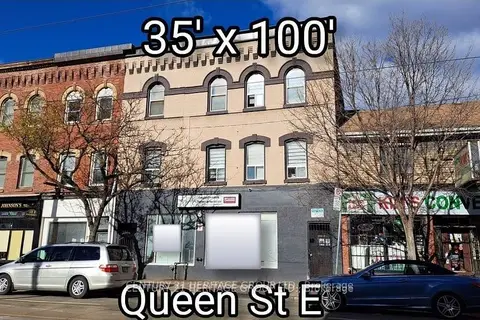
$5,900,000
250 Queen Street E
Moss Park, Toronto
Commercial Retail · MLS® C12554114 · CENTURY 21 HERITAGE GROUP LTD.
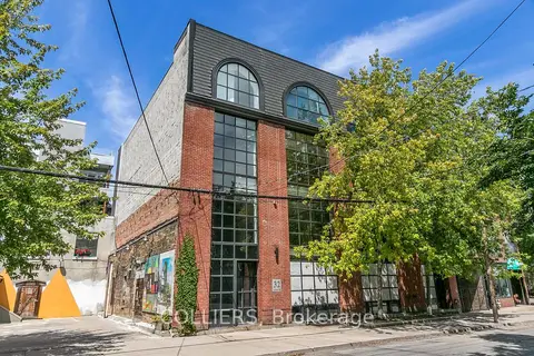
$5,750,000
32 Britain Street
Moss Park, Toronto
Office · MLS® C13752340 · COLLIERS
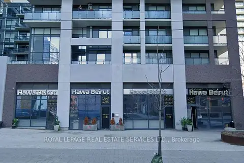
$4,999,000
462-464-466-468 Adelaide Street E
Moss Park, Toronto
Commercial Retail · MLS® C13560046 · ROYAL LEPAGE REAL ESTATE SERVICES LTD.
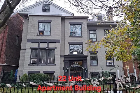
$4,900,000
22 ba
109 Pembroke Street
Moss Park, Toronto
Investment · MLS® C12549492 · CENTURY 21 HERITAGE GROUP LTD.
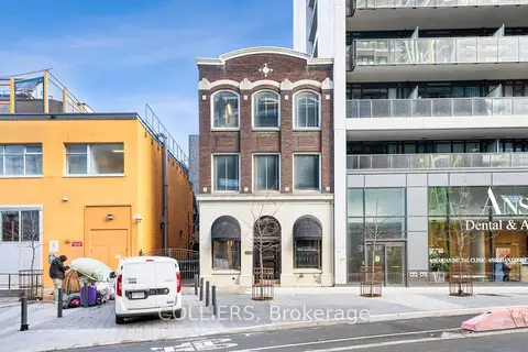
$5,950,000
340 Richmond Street W
Waterfront Communities C1, Toronto
Office · MLS® C12786376 · COLLIERS
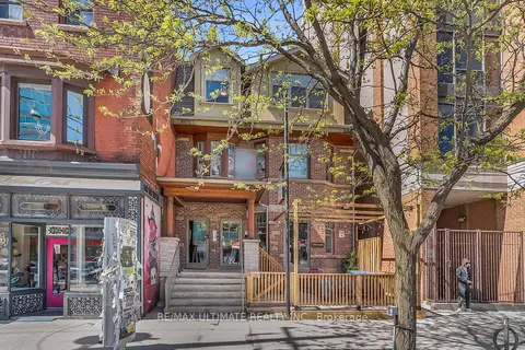
$5,990,000
460 College Street
Palmerston-Little Italy, Toronto
Store W Apt/Office · MLS® C13170018 · RE/MAX ULTIMATE REALTY INC.
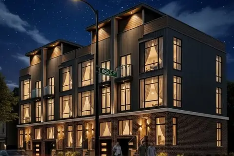
$5,990,000
1 ba
1530 Keele Street
Keelesdale-Eglinton West, Toronto
Commercial Retail · MLS® W13162914 · HOME LEADER REALTY INC.
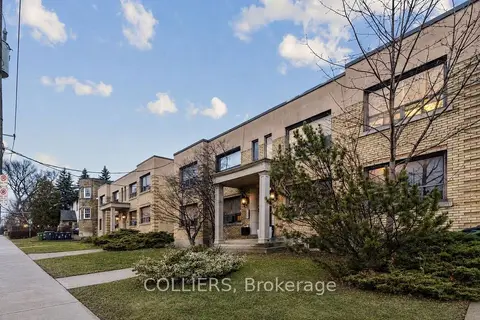
$5,995,000
1703/1705 Bathurst Street
Forest Hill South, Toronto
Investment · MLS® C13795926 · COLLIERS