25 Bethridge Road
West Humber-Clairville, Toronto, M9W 1M6
$12/mo
Listed 403 days ago · MLS® W12398509
About this home
Core Etobicoke industrial freestanding facility with heavy power and excess land accommodative of outside storage. Unique offering in a central Toronto location with direct access to major highways (427, 401, 409, 407, 400) and walking distance to local transit. Creative leasing options available with flexibility on lease term. Well-suited to various industrial uses (manufacturing, warehousing, transportation, heavy industrial, film, etc). Clear height 16'6" - 26'5".
Details
- Type
- Industrial
- Lot
- 609 × 731 ft
- Garage
- Outside/Surface
- Property tax
- $4 (2025)
- Neighbourhood
- West Humber-Clairville
- Municipality
- Toronto W10
Heating, cooling and services
- Heating
- Gas Forced Air Open
- Air conditioning
- Partial
- Water and sewer
- Sanitary+Storm
- Utilities
- Yes
Building and exterior
- Building area
- 278,326 Square Feet
Rental terms
- Minimum term
- 60 months
More
- Possession
- Immediate
- Cross street
- Kipling Ave & Rexdale Blvd
- Business type
- Warehouse
Location
Location is approximate. See nearby homes on the map
The neighbourhood
Getting around Somewhat walkable
- 🚆 Etobicoke North GO10 min walk
Within a 10-minute walk: no grocery stores, 11 cafés and restaurants, 1 park, 1 pharmacy. Nearest park: Frost Park (750 m).
Schools nearby
Elementary
- St. Benedict Catholic School Catholic
EQAO: Gr 6 reading 87%, math 52%1.7 km - St. Maurice Catholic School Catholic
EQAO: Gr 6 reading 62%, math 14%1.7 km - Elmlea Junior School
EQAO: Gr 3 reading 57%, math 39%1.9 km - Transfiguration of our Lord Catholic School Catholic
EQAO: Gr 6 reading 92%, math 63%1.9 km
Secondary
- Monsignor Percy Johnson Catholic High School Catholic
EQAO: Gr 9 math 52%, literacy test 78%1.5 km - School of Experiential Education2.1 km
EQAO: share of students meeting the provincial standard (2024–25). Ontario average: Gr 6 reading 86%, math 51%; Gr 9 math 55%; literacy test 83%.
Closest schools, not school zones. Check which school serves this address with the school board before relying on it.
Who lives here postal area M9W
- Owners / renters
- 58% / 42%
- Median household income
- $85,000
- Average age
- 41
- Children under 15
- 15%
- Homes
- 37% detached, 32% high-rise
- Commute by transit
- 22%
- Population
- 40,977
Languages spoken most at home besides English: Punjabi (Panjabi) 6.8%, Spanish 3.2%, Gujarati 2.4%, Tagalog (Pilipino, Filipino) 1.5%.
Flood and conservation No mapped hazard
Not inside a mapped flood plain or regulated area.
Screening maps only. Ask the conservation authority for a property inquiry before relying on this.
Safety
Major crime per resident in West Humber-Clairville (2025): 127% above the Toronto average, down 14% from the year before.
- Assault22% above average
- Break and enter83% above average
- Auto theft486% above average
- Robbery94% above average
- Theft from vehicles158% above average
- Shootings228% above average
Crime Severity Index for Toronto police: 60 vs 57 for Ontario (2025).
Police-reported figures for the whole neighbourhood, not this street. Rates use the area’s resident population.
Development nearby 2 active
-
25 BETHRIDGE RD · 0 mSite Plan · Under Review · applied 2024Site Plan Application proposes the construction of a 20,400 square metre, single storey warehouse and logistics facility with approximately 30 loading spaces.…Application details
-
24 BETHRIDGE RD · 150 mSite Plan · NOAC Issued · applied 2016Site Plan Control application to construct a one-storey rear warehouse addition to the existing one-storey warehouse building.Application details
-
90 BELFIELD RD · 400 mSite Plan · Final Approval Completed · applied 2024Site Plan Control Application to construct a one-storey (10,180 sm) addition to the existing industrial building and parking lot.Application details
Rezoning, site plan, subdivision and condominium applications filed with the city.
Distances are approximate. Places © OpenStreetMap contributors. Neighbourhood figures: Statistics Canada, 2021 Census. School results: EQAO via Ontario Data Catalogue (Open Government Licence – Ontario). Neighbourhood crime: Toronto Police Service Public Safety Data Portal (Open Government Licence – Toronto Police Service). Crime Severity Index: Statistics Canada. Planning applications: City of Toronto open data.
Living here
Commute
To Union Station (downtown Toronto): 17 km. Transit times · Driving times
Noise 1 source nearby
- 🚆 Rail line (Weston Subdivision)150 m
Distances from the map, not noise measurements. Visit at rush hour to judge for yourself.
What can be built E
Employment Industrial.
From Toronto’s Zoning By-law 569-2013 map. Lot size, setbacks and trees decide what actually fits; check with a planner before you buy.
Building permits
- Demolition · 2025 · Permit IssuedDemolish exisiting four storey industrial building
- Other · 2021 · ClosedReplacement of one multi-zone hvac unit with 6 new roof top units with structural support
- Electromagnetic Locks · 2017 · InspectionPROPOSAL TO INSTALL 1 MAGLOCK ON FIRST FLOOR
- Electromagnetic Locks · 2016 · ClosedProposal to install 2 maglock on the first floor of an existing industrial building.
1 permit on this block of the street in the last 2 years.
Permits filed with the City of Toronto. A permit doesn’t mean the work passed final inspection.
Trees
11 City street trees within 100 m, mostly pines. That’s fewer than the Toronto average of 42.
Trees on City boulevards only, not private yards or parks.
Internet High-speed
50/10 Mbps or faster available here by cable, fibre or DSL (the federal high-speed target).
From the federal broadband map. Check exact speeds and providers for the address.
Zoning, heritage, building permits and street trees: City of Toronto open data (Open Government Licence – Toronto). Roads, rail, airports and planned stations © OpenStreetMap contributors. Internet: Innovation, Science and Economic Development Canada, National Broadband Data.
Listed by COLLIERS.
Listing information provided by PropTx Innovations Inc. and TRREB; deemed reliable but not guaranteed accurate by PropTx.
Similar homes nearby
See more in Toronto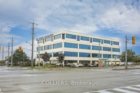
$12/mo
1 Greensboro Drive 200
West Humber-Clairville, Toronto
Office · MLS® W12824440 · COLLIERS
$12/mo
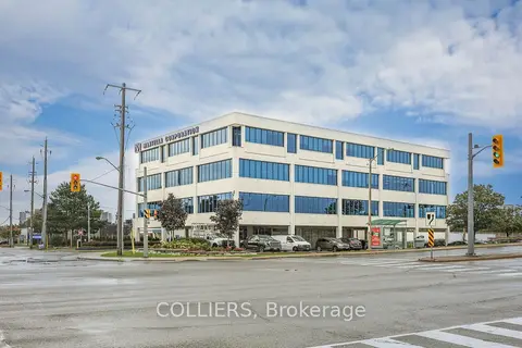
1 Greensboro Drive 203
West Humber-Clairville, Toronto
Office · MLS® W12824442 · COLLIERS
$12/mo
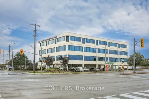
1 Greensboro Drive 204
West Humber-Clairville, Toronto
Office · MLS® W12824446 · COLLIERS
$12/mo
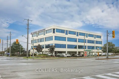
1 Greensboro Drive 201
West Humber-Clairville, Toronto
Office · MLS® W12824448 · COLLIERS
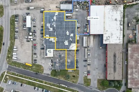
$12/mo
Reduced $2
11 Dansk Court 1
West Humber-Clairville, Toronto
Industrial · MLS® W13587408 · COLLIERS
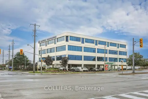
$12/mo
1 Greensboro Drive 303
West Humber-Clairville, Toronto
Office · MLS® W13591840 · COLLIERS
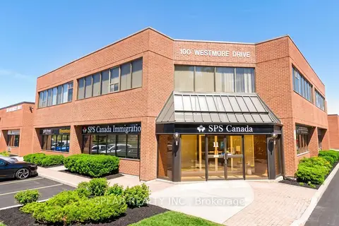
$12/mo
100 Westmore Drive 12C
West Humber-Clairville, Toronto
Office · MLS® W13863932 · SPEAR REALTY INC.
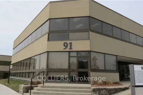
$13/mo
91 Skyway Avenue 200
West Humber-Clairville, Toronto
Office · MLS® W4264894 · COLLIERS