2450 Bromus Path
Windfields, Oshawa, L1L 0K6
$799,999
- 4+1 bedrooms
- 3 bathrooms
- 2 parking
- 1500-2000 sq ft
Listed 156 days ago · MLS® E13139152
About this home
This is a ravine and corner unit that has an unobstructed view from three sides a beautiful Open Concept Tribute Community Built Home. The Bright Corner Unit Feels Like A Semidetached House. The Townhouse Backs Onto A Ravine. Lots Of Natural light, A Family Room, and 2 Wooden Decks. 4 Bedrooms, around 1800 sqft. Townhouse. Walking Distance To the University Of Ontario Institute Of Technology & Durham College, Minutes From The 407. Nestled In A Family-friendly Neighborhood Of Oshawa, This Ravine Corner Freehold Townhouse Has the Feel Of A Semi-detached Home And Has Charming 4 Bedrooms Which Offer A Perfect Blend Of Comfort And Modern Living. Boasting A Spacious Layout Across Multiple Levels And An Unblocked View From 3 Sides, This Home Is Designed To Accommodate The Needs Of A Growing Family Or Those Seeking Ample Space.
Details
- Type
- Att/Row/Townhouse
- Style
- 3-Storey
- Age
- 6-15 years
- Size
- 1500-2000 sq ft
- Lot
- 24 × 90 ft
- Basement
- Finished
- Garage
- Attached
- Kitchens
- 1
- Property tax
- $6,921 (2025)
- Neighbourhood
- Windfields
- Municipality
- Oshawa
- Price per sq ft
- $457 (4% above freehold townhouses in Windfields, $438)
Interior
- Bedrooms
- 4 above ground + 1 below
- Bathrooms
- 1 × 2-piece (main), 1 × 3-piece (third), 1 × 3-piece (third)
- Rooms
- 6 above ground + 1 below
- Family room or den
- Yes
- Fireplace
- Yes
- Features
- Carpet Free
Heating, cooling and services
- Heating
- Forced Air, Gas
- Air conditioning
- Central Air
- Water and sewer
- Sewer
Building and exterior
- Style
- 3-Storey
- Exterior
- Brick
- Age
- 6-15 years
- Faces
- East
Parking
- Garage spaces
- 1
- Total parking
- 2
- Driveway and parking
- Available
Lot
- Size
- 24 × 90 ft
More
- Possession
- 90
- Cross street
- Simcoe/Brittania
Rooms
| Room | Level | Size | Features |
|---|---|---|---|
| Office | Main | 3.35 × 5.05 m (11' × 16'7") | |
| Family Room | Second | 8.22 × 6.1 m (27' × 20') | Combined w/Living |
| Dining Room | Second | 3.29 × 2.23 m (10'10" × 7'4") | |
| Kitchen | Second | 3.29 × 2.83 m (10'10" × 9'3") | |
| Primary Bedroom | Third | 3.96 × 2.62 m (13' × 8'7") | 3 Pc Ensuite |
| Bedroom 3 | Third | 2.77 × 2.56 m (9'1" × 8'5") | |
| Bedroom 4 | Third | 2.62 × 2.4 m (8'7" × 7'10") | |
| Bedroom 4 | Third | 2.74 × 2.74 m (9' × 9') | |
| Den | Basement | 3.29 × 2.23 m (10'10" × 7'4") |
History of this address
4 earlier listings at this address, with sold and leased prices. Create a free account or sign in to see them.
Location
Location is approximate. See nearby homes on the map
Recent sales nearby
See what similar homes within 1 km sold for in the last year. Create a free account or sign in to see them.
The neighbourhood
Getting around Somewhat walkable
No subway, LRT or GO station within a short trip.
Within a 10-minute walk: 1 grocery store, 6 cafés and restaurants, 3 parks, 2 pharmacies. Nearest grocery: FreshCo (600 m). Nearest park: Sandy Hawly Park (400 m).
Schools nearby
Elementary
- Waaban Public School9 min walk
- Maamawi Iyaawag Public School
EQAO: Gr 6 reading 67%, math 17%14 min walk - Northern Dancer Public School
EQAO: Gr 6 reading 95%, math 64%17 min walk
Secondary
- Cedar Valley Secondary School15 min walk
EQAO: share of students meeting the provincial standard (2024–25). Ontario average: Gr 6 reading 86%, math 51%; Gr 9 math 55%; literacy test 83%.
Closest schools, not school zones. Check which school serves this address with the school board before relying on it.
Who lives here postal area L1L
- Owners / renters
- 70% / 30%
- Median household income
- $112,000
- Average age
- 32
- Children under 15
- 26%
- Homes
- 85% detached
- Commute by transit
- 7%
- Population
- 12,976
Languages spoken most at home besides English: Tamil 4%, Urdu 3.1%, Mandarin 2.1%, Dari 1.2%.
Flood and conservation No mapped hazard
Not inside a mapped flood plain or regulated area in Central Lake Ontario Conservation’s mapping.
Screening maps only. Ask the conservation authority for a property inquiry before relying on this.
Safety
Crime Severity Index for Durham Region (Oshawa/Whitby/Ajax) police: 43 vs 57 for Ontario (2025).
Police-reported figures for the whole police service area, not this street. Rates use the area’s resident population.
Distances are approximate. Places © OpenStreetMap contributors. Neighbourhood figures: Statistics Canada, 2021 Census. School results: EQAO via Ontario Data Catalogue (Open Government Licence – Ontario). Flood and regulation mapping: Central Lake Ontario Conservation open data. Crime Severity Index: Statistics Canada.
Living here
Commute
To Union Station (downtown Toronto): 52 km. Transit times · Driving times
Noise Nothing major nearby
No highway within 500 m, rail line within 300 m, or airport flight path nearby.
Distances from the map, not noise measurements. Visit at rush hour to judge for yourself.
Internet High-speed
50/10 Mbps or faster available here by cable, fibre or DSL (the federal high-speed target).
From the federal broadband map. Check exact speeds and providers for the address.
Roads, rail, airports and planned stations © OpenStreetMap contributors. Internet: Innovation, Science and Economic Development Canada, National Broadband Data.
Listed by HOMELIFE/MIRACLE REALTY LTD.
Listing information provided by PropTx Innovations Inc. and TRREB; deemed reliable but not guaranteed accurate by PropTx.
Similar homes nearby
See more in Oshawa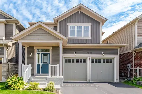
$829,900
3 bd3 ba6 pk1500-2000 ft²
2323 Steeplechase Street
Windfields, Oshawa
Detached · MLS® E13801762 · ROYAL LEPAGE SIGNATURE REALTY
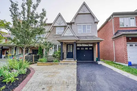
$769,900
4 bd4 ba5 pk1500-2000 ft²
2304 Winlord Place
Windfields, Oshawa
Detached · MLS® E13798712 · RIGHT AT HOME REALTY
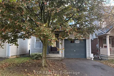
$769,000
3+1 bd2 ba3 pk700-1100 ft²
1892 Secretariat Place
Windfields, Oshawa
Detached · MLS® E13883984 · EXP REALTY
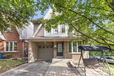
$765,000
4 bd3 ba4 pk1500-2000 ft²
2364 Winlord Place
Windfields, Oshawa
Detached · MLS® E13997074 · REALTY ONE GROUP REVEAL
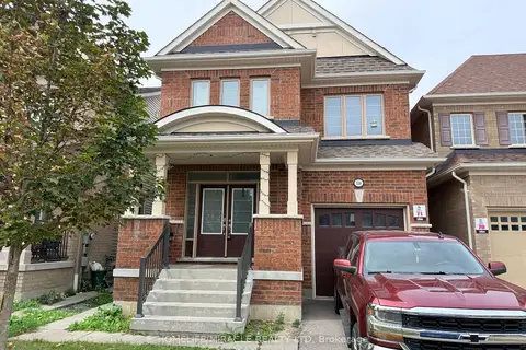
$839,000
4 bd3 ba2 pk2000-2500 ft²
534 Windfields Farm Drive W
Windfields, Oshawa
Detached · MLS® E13698536 · HOMELIFE/MIRACLE REALTY LTD
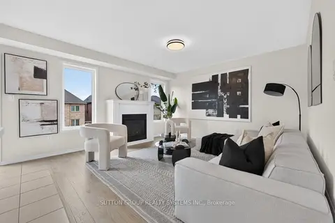
$839,000
4 bd3 ba2 pk1500-2000 ft²
165 Dance Act Avenue
Windfields, Oshawa
Detached · MLS® E13751024 · SUTTON GROUP REALTY SYSTEMS INC.
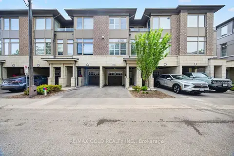
$839,900
3+1 bd3 ba2 pk1500-2000 ft²
384 Arctic Red Drive 12
Windfields, Oshawa
Att/Row/Townhouse · MLS® E14022234 · RE/MAX GOLD REALTY INC.
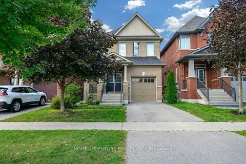
$845,000
3 bd3 ba2 pk2000-2500 ft²
2600 Kentucky Derby Way
Windfields, Oshawa
Detached · MLS® E13724112 · HOMELIFE/FUTURE REALTY INC.