240 Parliament Street
Moss Park, Toronto, M5A 3A4
$249,000
Reduced $100,000 from $349,000
Listed 112 days ago · MLS® C13503400
About this home
PRIME RESTAURANT / RETAIL OPPORTUNITY - DOWNTOWN TORONTO Located on Parliament Street between Dundas Street East and Queen Street East, this property enjoys a strategic position in one of Toronto's established and rapidly evolving commercial corridors. The area benefits from strong pedestrian and vehicle traffic and is surrounded by residential communities, businesses, and ongoing redevelopment. AREA HIGHLIGHTS Prime Parliament Street frontage in the heart of Downtown East Toronto. Situated between Dundas Street East and Queen Street East, two of Toronto's major east-west transportation and commercial corridors. High visibility location with excellent exposure to local residents, commuters, and visitors. Growing neighborhood with increasing demand for food, retail, and service-oriented businesses. BUSINESS & FOOD DESTINATION. The area has a long history of successful grocery and specialty food retailers serving diverse communities. More recently, it has become a destination for popular takeout and dining concepts including Indian cuisine, shawarma, kebab, pizza, and other international food offerings. PREMISES Approx. 5,000 sq. ft. of main floor space. Flexible layout with the ability to divide the premises into smaller units. Suitable for restaurant, takeout, grocery, specialty food, retail, service, or other permitted commercial uses, subject to zoning and landlord approval. Excellent opportunity for entrepreneurs, franchise operators, restaurateurs, and expanding businesses. Gross Monthly Rent around $9,854.76. Lease expire Nov-2030 & Additional 5 Years renewal
Details
- Type
- Sale Of Business
- Garage
- None
- Property tax
- $31,812 (2026)
- Neighbourhood
- Moss Park
- Municipality
- Toronto C08
Heating, cooling and services
- Heating
- Gas Forced Air Closed
- Air conditioning
- Yes
More
- Possession
- Immediate
- Cross street
- Parliament/Dundas St East/QEW
- Business type
- Restaurant
Location
Location is approximate. See nearby homes on the map
Recent sales nearby
See what similar homes within 1 km sold for in the last year. Create a free account or sign in to see them.
The neighbourhood
Getting around Very walkable
- 🚇 Queen Subway1.2 km
- 🚇 TMU Subway1.2 km
- 🚆 Toronto Union Station GO1.9 km
Within a 10-minute walk: 17 grocery stores, 133 cafés and restaurants, 25 parks, 18 pharmacies. Nearest grocery: Kabul Farms Supermarket (50 m). Nearest park: Ontario Street Parkette (150 m).
Schools nearby
Elementary
- Lord Dufferin Junior and Senior Public School
EQAO: Gr 6 reading 80%, math 30%6 min walk - St. Paul Catholic School Catholic
EQAO: Gr 6 reading 87%, math 50%6 min walk - Nelson Mandela Park Public School
EQAO: Gr 6 reading 76%, math 17%6 min walk - École élémentaire Gabrielle-Roy French
EQAO: Gr 6 reading 100%, math 88%8 min walk
Secondary
- Inglenook Community School
EQAO: literacy test 50%10 min walk - Collège français French17 min walk
EQAO: share of students meeting the provincial standard (2024–25). Ontario average: Gr 6 reading 86%, math 51%; Gr 9 math 55%; literacy test 83%.
Closest schools, not school zones. Check which school serves this address with the school board before relying on it.
Who lives here postal area M5A
- Owners / renters
- 35% / 65%
- Median household income
- $71,000
- Average age
- 40
- Children under 15
- 9%
- Homes
- 0% detached, 78% high-rise
- Commute by transit
- 28%
- Population
- 48,978
Languages spoken most at home besides English: Bengali 1.8%, Mandarin 1.7%, Yue (Cantonese) 1.5%, Spanish 1.3%.
Flood and conservation No mapped hazard
Not inside a mapped flood plain or regulated area.
Screening maps only. Ask the conservation authority for a property inquiry before relying on this.
Safety
Major crime per resident in Moss Park (2025): 119% above the Toronto average, about the same from the year before.
- Assault190% above average
- Break and enter85% above average
- Auto theft64% below average
- Robbery112% above average
- Theft from vehicles30% above average
- Shootings58% below average
Crime Severity Index for Toronto police: 60 vs 57 for Ontario (2025).
Police-reported figures for the whole neighbourhood, not this street. Rates use the area’s resident population.
Development nearby 19 active
-
500 DUNDAS ST E · 300 mOfficial Plan / Zoning By-law Amendment · Council Approved · applied 2026Proposed 35-storey mixed use building (122.2 metres, including mechanical penthouse), containing 413 dwelling units and a minimum of 200 square metres of…Application details
-
191 SHERBOURNE ST · 350 mSite Plan · Under Review · applied 2024Site Plan application to permit two tall buildings (39- and 40-storeys), containing 693 new residential dwelling units, 525 square metres of non-residential…Application details
-
150 SHERBOURNE ST · 450 mSite Plan · Under Review · applied 2024Site Plan Control application for a 7,544.3 square metres City of Toronto community centre to replace the existing John Innes Community Centre.Application details
-
529 RICHMOND ST E · 350 mSite Plan · OMB Appeal · applied 2023Site Plan Application for a 46 storey (156.3 metres including mechanical penthouse) mixed-use building with 419 dwelling units and 328 square metres of…Application details
-
455 RICHMOND ST E · 400 mSite Plan · OMB Appeal · applied 2023Site Plan Application for a 43-storey mixed-use building that includes 278 square metres of retail space on the ground floor and 380 dwelling units above.Application details
-
102 BERKELEY ST · 400 mSite Plan · Under Review · applied 2023Proposed 35-storey (119.45 metres including the mechanical penthouse) mixed-use building containing 120 square metres of ground level retail uses and 257…Application details
23 more within 500 m.
Rezoning, site plan, subdivision and condominium applications filed with the city.
Distances are approximate. Places © OpenStreetMap contributors. Neighbourhood figures: Statistics Canada, 2021 Census. School results: EQAO via Ontario Data Catalogue (Open Government Licence – Ontario). Neighbourhood crime: Toronto Police Service Public Safety Data Portal (Open Government Licence – Toronto Police Service). Crime Severity Index: Statistics Canada. Planning applications: City of Toronto open data.
Living here
Commute
To Union Station (downtown Toronto): 2 km. Transit times · Driving times
Coming transit
- 🚧 Moss Park 500 m
- 🚧 Distillery District 650 m
- 🚧 Queen 1.2 km
Stations under construction or approved. Opening dates are the latest public estimates and often move.
Noise Nothing major nearby
No highway within 500 m, rail line within 300 m, or airport flight path nearby.
Distances from the map, not noise measurements. Visit at rush hour to judge for yourself.
What can be built CR
Commercial Residential (with a site-specific exception).
From Toronto’s Zoning By-law 569-2013 map. Lot size, setbacks and trees decide what actually fits; check with a planner before you buy.
Building permits
- Interior Alterations · 2025 · CancelledProposed interior alterations and change of use from mercantile to event space/banquet hall on the basement by installing new fire doors,…
1 permit on this block of the street in the last 2 years.
Permits filed with the City of Toronto. A permit doesn’t mean the work passed final inspection.
Trees
45 City street trees within 100 m. That’s about the Toronto average of 42.
Trees on City boulevards only, not private yards or parks.
Internet High-speed
50/10 Mbps or faster available here by cable, fibre or DSL (the federal high-speed target).
From the federal broadband map. Check exact speeds and providers for the address.
Zoning, heritage, building permits and street trees: City of Toronto open data (Open Government Licence – Toronto). Roads, rail, airports and planned stations © OpenStreetMap contributors. Internet: Innovation, Science and Economic Development Canada, National Broadband Data.
Listed by ROYAL LEPAGE PINNACLE REAL ESTATE.
Listing information provided by PropTx Innovations Inc. and TRREB; deemed reliable but not guaranteed accurate by PropTx.
Similar homes nearby
See more in Toronto
$235,000
3 ba
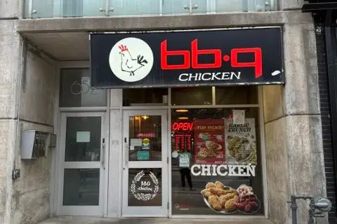
56 Berkeley Street E
Moss Park, Toronto
Sale Of Business · MLS® C14015010 · CENTURY 21 REGAL REALTY INC.
$249,000
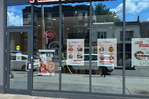
652 Spadina Avenue 101
University, Toronto
Sale Of Business · MLS® C13108108 · RE/MAX CROSSROADS REALTY INC.
$249,000
Reduced $50,000
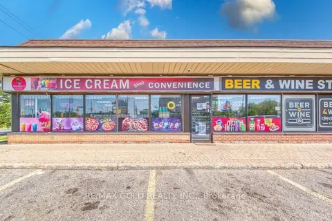
2382 Dundas Street W
Mount Pleasant East, Toronto
Sale Of Business · MLS® C13726606 · RE/MAX CHAMPIONS REALTY INC.
$249,000
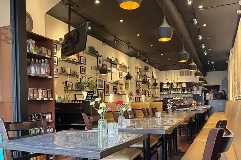
707 Kennedy Road 104
Kennedy Park, Toronto
Sale Of Business · MLS® E13576766 · RE/MAX GOLD REALTY INC.
$249,000
2 ba
397 Danforth Avenue
North Riverdale, Toronto
Sale Of Business · MLS® E13723314 · HOMELIFE/VISION REALTY INC.
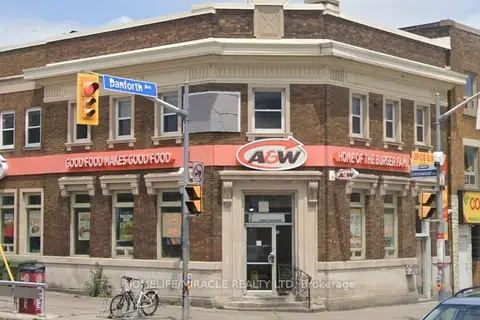
$249,000
1190 Danforth Avenue
Danforth, Toronto
Sale Of Business · MLS® E13821440 · HOMELIFE/MIRACLE REALTY LTD
$249,000
390 Silver Star Boulevard 167
Milliken, Toronto
Sale Of Business · MLS® E13850308 · BAY STREET GROUP INC.

$249,000
982 Albion Road
Thistletown-Beaumonde Heights, Toronto
Sale Of Business · MLS® W13026384 · SAVE MAX REAL ESTATE INC.