238A Berkeley Street
Moss Park, Toronto, M5A 4C3
$1,750,000
Listed 18 days ago · MLS® C13849588
About this home
PRIZE INFILL SITE - APPROVED RESIDENTIAL DEVELOPMENT LAND - THREE LOT PARCEL FOR SALE: A low risk "prize site" with clear entitlements and execution certainty. Located in the dynamic Moss Park neighbourhood of downtown Toronto. The Subject Site is currently vacant and located between Dundas St. to the north and Shuter St. to the south.THE APPROVAL: Allows the severance and reconfiguration of the two existing through lots into six individual lots, (3-lots fronting Berkeley, 3-lots fronting Milan) each improved with a 4-storey townhouse with integral garage and private driveway. Planning work completed by WND Associates and Craig Race Architecture. SITE METRICS: Two contiguous, generally rectangular through-lots spanning from Berkeley Street to Milan Street, with a combined total lot area of 3,122 SF approx. for the 3-lot parcel. APPROVED BUILT FORM: Construction of three (3) modern, 4-storey townhouse units featuring integral garages and private driveways.-3 Units fronting Berkeley Street (238A - 238B - 240 Berkeley)-Individual Lot Areas: Range from 1,017 to 1,072 sq ft-Unit Sizes: Range from 1,895 to 2,007 sq ft GFA approx.-Lot Frontage: 17 ft approx each of 3 lots ZONING COMPLIANCE: Compliant with maximum height provisions 41 ft./4 storeys with structured minor variances in place for parameters such as density, setbacks, and lot dimensions to mirror successful, recent neighbourhood precedents. EXEMPT FROM SITE PLAN CONTROL & PLAN OF SUBDIVISION: Thanks to provincial legislative thresholds exempting residential projects with 10 or fewer units, the development bypasses traditional, time-consuming Site Plan Control, drastically shortening the timeline to building permit issuance.
Details
- Type
- Land
- Lot
- 52 × 60 ft
- Property tax
- $9,921 (2026)
- Neighbourhood
- Moss Park
- Municipality
- Toronto C08
Heating, cooling and services
- Water and sewer
- Sanitary+Storm Available
Building and exterior
- Building area
- 3,122 Square Feet
More
- Possession
- To be arranged
- Cross street
- Parliament St / Dundas St E
- Business type
- Residential
History of this address
1 earlier listing at this address, with sold and leased prices. Create a free account or sign in to see them.
Location
Location is approximate. See nearby homes on the map
Recent sales nearby
See what similar homes within 1 km sold for in the last year. Create a free account or sign in to see them.
The neighbourhood
Getting around Very walkable
- 🚇 TMU Subway18 min walk
- 🚇 Queen Subway18 min walk
- 🚆 Toronto Union Station GO1.8 km
Within a 10-minute walk: 17 grocery stores, 143 cafés and restaurants, 25 parks, 18 pharmacies. Nearest grocery: Kabul Farms Supermarket (200 m). Nearest park: Ontario Street Parkette (100 m).
Schools nearby
Elementary
- Lord Dufferin Junior and Senior Public School
EQAO: Gr 6 reading 80%, math 30%4 min walk - École élémentaire Gabrielle-Roy French
EQAO: Gr 6 reading 100%, math 88%7 min walk - Nelson Mandela Park Public School
EQAO: Gr 6 reading 76%, math 17%8 min walk - St. Paul Catholic School Catholic
EQAO: Gr 6 reading 87%, math 50%8 min walk
Secondary
- Inglenook Community School
EQAO: literacy test 50%12 min walk - Collège français French15 min walk
EQAO: share of students meeting the provincial standard (2024–25). Ontario average: Gr 6 reading 86%, math 51%; Gr 9 math 55%; literacy test 83%.
Closest schools, not school zones. Check which school serves this address with the school board before relying on it.
Who lives here postal area M5A
- Owners / renters
- 35% / 65%
- Median household income
- $71,000
- Average age
- 40
- Children under 15
- 9%
- Homes
- 0% detached, 78% high-rise
- Commute by transit
- 28%
- Population
- 48,978
Languages spoken most at home besides English: Bengali 1.8%, Mandarin 1.7%, Yue (Cantonese) 1.5%, Spanish 1.3%.
Flood and conservation No mapped hazard
Not inside a mapped flood plain or regulated area.
Screening maps only. Ask the conservation authority for a property inquiry before relying on this.
Safety
Major crime per resident in Moss Park (2025): 119% above the Toronto average, about the same from the year before.
- Assault190% above average
- Break and enter85% above average
- Auto theft64% below average
- Robbery112% above average
- Theft from vehicles30% above average
- Shootings58% below average
Crime Severity Index for Toronto police: 60 vs 57 for Ontario (2025).
Police-reported figures for the whole neighbourhood, not this street. Rates use the area’s resident population.
Development nearby 27 active
-
308 GERRARD ST E · 450 mSite Plan · Under Review · applied 2026Site Plan Approval for an 11-storey mixed-use building containing 228 market and affordable residential units, plus office and community program space.Application details
-
500 DUNDAS ST E · 300 mOfficial Plan / Zoning By-law Amendment · Council Approved · applied 2026Proposed 35-storey mixed use building (122.2 metres, including mechanical penthouse), containing 413 dwelling units and a minimum of 200 square metres of…Application details
-
219 GERRARD ST E · 450 mSite Plan · Under Review · applied 2025Site Plan Approval for a 10-storey mixed use building with 60 purpose-built rental units and commercial uses at grade.Application details
-
325 GERRARD ST E · 450 mSite Plan · NOAC Issued · applied 2025Building 4A Proposal to construct a 26-storey tower, 10 storey mid-rise podium TCHC social housing building with 271 units, retail at grade along Gerrard…Application details
-
191 SHERBOURNE ST · 300 mSite Plan · Under Review · applied 2024Site Plan application to permit two tall buildings (39- and 40-storeys), containing 693 new residential dwelling units, 525 square metres of non-residential…Application details
-
150 SHERBOURNE ST · 400 mSite Plan · Under Review · applied 2024Site Plan Control application for a 7,544.3 square metres City of Toronto community centre to replace the existing John Innes Community Centre.Application details
36 more within 500 m.
Rezoning, site plan, subdivision and condominium applications filed with the city.
Distances are approximate. Places © OpenStreetMap contributors. Neighbourhood figures: Statistics Canada, 2021 Census. School results: EQAO via Ontario Data Catalogue (Open Government Licence – Ontario). Neighbourhood crime: Toronto Police Service Public Safety Data Portal (Open Government Licence – Toronto Police Service). Crime Severity Index: Statistics Canada. Planning applications: City of Toronto open data.
Living here
Commute
To Union Station (downtown Toronto): 2 km. Transit times · Driving times
Coming transit
- 🚧 Moss Park 500 m
- 🚧 Distillery District 750 m
- 🚧 Queen 1.2 km
Stations under construction or approved. Opening dates are the latest public estimates and often move.
Noise Nothing major nearby
No highway within 500 m, rail line within 300 m, or airport flight path nearby.
Distances from the map, not noise measurements. Visit at rush hour to judge for yourself.
What can be built R
Residential (with a site-specific exception).
- ✅ Up to 6 homes on the lot (multiplex): a sixplex ward
- ✅ Garden suite in the backyard
- ✅ Laneway suite, if the lot backs onto a lane
From Toronto’s Zoning By-law 569-2013 map. Lot size, setbacks and trees decide what actually fits; check with a planner before you buy.
Building permits
No building permits at this address since 2014.
5 permits on this block of the street in the last 2 years.
Permits filed with the City of Toronto. A permit doesn’t mean the work passed final inspection.
Trees
79 City street trees within 100 m. That’s more than the Toronto average of 42.
Trees on City boulevards only, not private yards or parks.
Internet High-speed
50/10 Mbps or faster available here by cable, fibre or DSL (the federal high-speed target).
From the federal broadband map. Check exact speeds and providers for the address.
Zoning, heritage, building permits and street trees: City of Toronto open data (Open Government Licence – Toronto). Roads, rail, airports and planned stations © OpenStreetMap contributors. Internet: Innovation, Science and Economic Development Canada, National Broadband Data.
Listed by ROYAL LEPAGE REAL ESTATE SERVICES LTD..
Listing information provided by PropTx Innovations Inc. and TRREB; deemed reliable but not guaranteed accurate by PropTx.
Similar homes nearby
See more in Toronto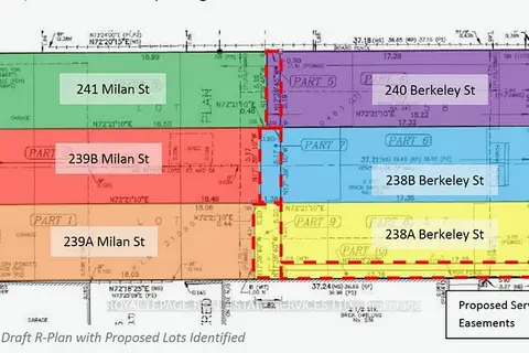
$1,750,000
239A Milan Street
Moss Park, Toronto
Land · MLS® C13849606 · ROYAL LEPAGE REAL ESTATE SERVICES LTD.
$1,775,000
2 ba
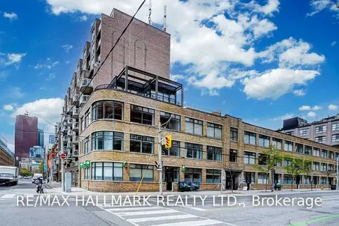
80 Sherbourne Street 106
Moss Park, Toronto
Commercial Retail · MLS® C13848334 · RE/MAX HALLMARK REALTY LTD.
$1,699,999
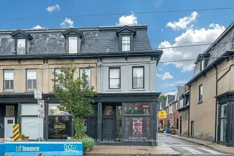
398 King Street E
Moss Park, Toronto
Store W Apt/Office · MLS® C13696196 · KAIZEN CAPITAL REALTY PARTNERS
$1,699,999
398 King Street E
Moss Park, Toronto
Commercial Retail · MLS® C13696198 · KAIZEN CAPITAL REALTY PARTNERS
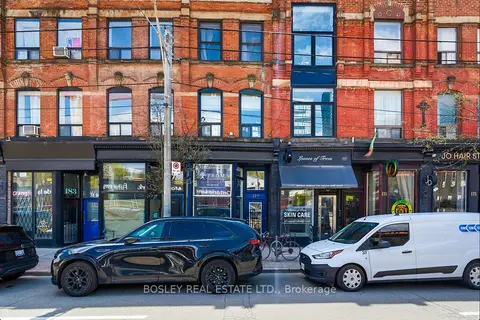
$1,599,000
4 ba
179 Queen Street E
Moss Park, Toronto
Store W Apt/Office · MLS® C13477752 · BOSLEY REAL ESTATE LTD.
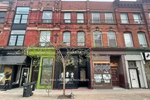
$1,999,900
173 Queen Street E
Moss Park, Toronto
Store W Apt/Office · MLS® C13640418 · RE/MAX HALLMARK REALTY LTD.
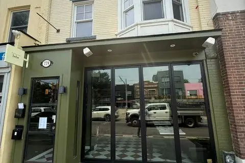
$1,750,000
779 St Clair Avenue W
Wychwood, Toronto
Commercial Retail · MLS® C13765150 · RE/MAX REALTRON REALTY INC.
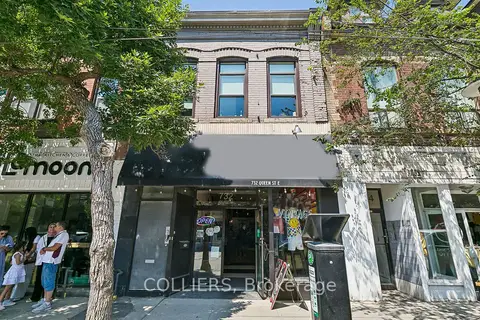
$1,750,000
732 Queen Street E
South Riverdale, Toronto
Store W Apt/Office · MLS® E13752292 · COLLIERS