228 Farewell Street Upper Flr
Donevan, Oshawa, L1H 6L7
$2,000/mo
Reduced $350 from $2,350
- 3 bedrooms
- 1 bathrooms
- 1 parking
- 700-1100 sq ft
Listed 29 days ago · MLS® E13811554
About this home
This bright upper-floor unit in a family friendly neighborhood features a practical layout with 3 bedrooms and 1 full bathroom. The location is positioned just minutes from the Donevan Recreation Complex, which offers an indoor pool, ice rink, and youth programs. Outdoor recreation is easily accessible via the nearby Farewell Creek trails and local green spaces like Eastbourne Park. The neighborhood is well-serviced by established local schools, including David Bouchard Public School and St. Kateri Tekakwitha Catholic School. For everyday convenience, the property is situated steps from local shopping and public transit, while offering quick access to Highway 401 for straightforward commuting.
Details
- Type
- Detached
- Style
- Bungalow
- Size
- 700-1100 sq ft
- Basement
- Full
- Garage
- None
- Kitchens
- 1
- Neighbourhood
- Donevan
- Municipality
- Oshawa
- Rent increase limit
- Depends on when the unit was first lived in: before Nov. 15, 2018 it’s covered by Ontario’s yearly limit (2.1% in 2026); after, there’s no cap.
Interior
- Bedrooms
- 3 above ground
- Bathrooms
- 1 × 3-piece (main)
- Rooms
- 6 above ground
- Family room or den
- No
- Fireplace
- No
- Laundry
- In Basement, Shared
- Furnished
- Unfurnished
Heating, cooling and services
- Heating
- Forced Air, Gas
- Air conditioning
- Central Air
- Water and sewer
- Sewer
Building and exterior
- Style
- Bungalow
- Exterior
- Brick
- Roof
- Asphalt Shingle
- Foundation
- Concrete
- Faces
- West
Parking
- Total parking
- 1
Rental terms
- Rent includes
- Heat, Hydro, Water
More
- Possession
- October 15, 2026
- Cross street
- Farewell St & Taylor Ave
Rooms
| Room | Level | Size | Features |
|---|---|---|---|
| Living Room | Main | 4.5 × 4.2 m (14'9" × 13'9") | Combined w/Dining |
| Dining Room | Main | 4.5 × 4.2 m (14'9" × 13'9") | Combined w/Living |
| Kitchen | Main | 4.5 × 4.2 m (14'9" × 13'9") | |
| Primary Bedroom | Main | 4 × 3.5 m (13'1" × 11'6") | |
| Bedroom 2 | Main | 3.2 × 3.2 m (10'6" × 10'6") | |
| Bedroom 3 | Main | 3 × 2.8 m (9'10" × 9'2") |
Location
Location is approximate. See nearby homes on the map
The neighbourhood
Getting around Somewhat walkable
No subway, LRT or GO station within a short trip.
Within a 10-minute walk: 1 grocery store, 3 cafés and restaurants, 7 parks. Nearest grocery: FreshCo (850 m). Nearest park: Knights of Columbus Park (400 m).
Schools nearby
Elementary
- Clara Hughes Public School
EQAO: Gr 6 reading 74%, math 20%3 min walk - St. Hedwig Catholic School Catholic
EQAO: Gr 6 reading 93%, math 27%13 min walk - David Bouchard Public School
EQAO: Gr 6 reading 65%, math 28%13 min walk - Forest View Public School
EQAO: Gr 6 reading 81%, math 40%1.3 km
Secondary
- Eastdale Collegiate and Vocational Institute
EQAO: Gr 9 math 35%, literacy test 75%1.6 km - Monsignor John Pereyma Catholic Secondary School Catholic
EQAO: Gr 9 math 38%, literacy test 87%1.9 km
EQAO: share of students meeting the provincial standard (2024–25). Ontario average: Gr 6 reading 86%, math 51%; Gr 9 math 55%; literacy test 83%.
Closest schools, not school zones. Check which school serves this address with the school board before relying on it.
Who lives here postal area L1H
- Owners / renters
- 59% / 41%
- Median household income
- $73,500
- Average age
- 42
- Children under 15
- 15%
- Homes
- 55% detached, 8% high-rise
- Commute by transit
- 6%
- Population
- 32,298
Languages spoken most at home besides English: Tagalog (Pilipino, Filipino) 0.6%, Spanish 0.5%, Polish 0.4%, Tamil 0.4%.
Flood and conservation No mapped hazard
Not inside a mapped flood plain or regulated area in Central Lake Ontario Conservation’s mapping.
Screening maps only. Ask the conservation authority for a property inquiry before relying on this.
Safety
Crime Severity Index for Durham Region (Oshawa/Whitby/Ajax) police: 43 vs 57 for Ontario (2025).
Police-reported figures for the whole police service area, not this street. Rates use the area’s resident population.
Distances are approximate. Places © OpenStreetMap contributors. Neighbourhood figures: Statistics Canada, 2021 Census. School results: EQAO via Ontario Data Catalogue (Open Government Licence – Ontario). Flood and regulation mapping: Central Lake Ontario Conservation open data. Crime Severity Index: Statistics Canada.
Living here
Commute
To Union Station (downtown Toronto): 52 km. Transit times · Driving times
Noise Nothing major nearby
No highway within 500 m, rail line within 300 m, or airport flight path nearby.
Distances from the map, not noise measurements. Visit at rush hour to judge for yourself.
Internet High-speed
50/10 Mbps or faster available here by cable, fibre or DSL (the federal high-speed target).
From the federal broadband map. Check exact speeds and providers for the address.
Roads, rail, airports and planned stations © OpenStreetMap contributors. Internet: Innovation, Science and Economic Development Canada, National Broadband Data.
Listed by RESIDENTIAL DEVELOPMENT SERVICES INC..
Listing information provided by PropTx Innovations Inc. and TRREB; deemed reliable but not guaranteed accurate by PropTx.
Similar homes nearby
See more in Oshawa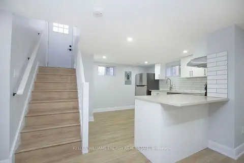
$1,995/mo
2 bd1 ba1 pk700-1100 ft²
574 Olive Avenue Lower
Donevan, Oshawa
Detached · MLS® E13878468 · Keller Williams Energy Real Estate
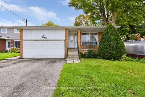
$1,900/mo
Reduced $50
3 bd1 ba2 pk1100-1500 ft²
903 King Street E Lower
Donevan, Oshawa
Detached · MLS® E13626622 · Signature Elite Realty Ltd.
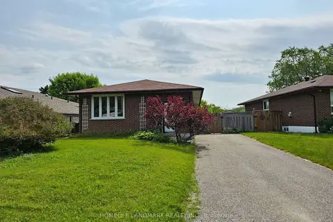
$1,900/mo
Reduced $100
2 bd1 ba2 pk700-1100 ft²
499 Tennyson Court Lower
Donevan, Oshawa
Detached · MLS® E13787140 · HOMELIFE LANDMARK REALTY INC.
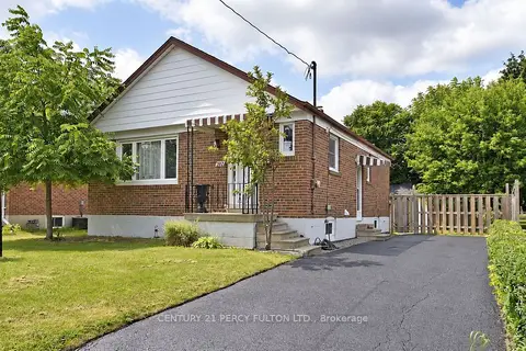
$2,100/mo
3 bd1 ba2 pk700-1100 ft²
270 Wilson Road S MAIN
Donevan, Oshawa
Detached · MLS® E14028326 · CENTURY 21 PERCY FULTON LTD.
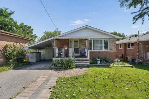
$1,850/mo
Reduced $150
2 bd1 ba1 pk700-1100 ft²
531 Harmony Road S
Donevan, Oshawa
Lower Level · MLS® E13721216 · RE/MAX HALLMARK FIRST GROUP REALTY LTD.
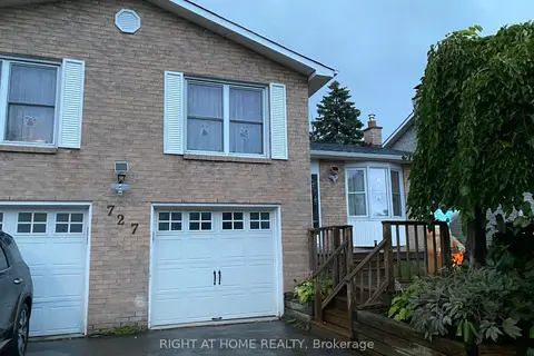
$1,850/mo
Reduced $150
2 bd1 ba3 pk700-1100 ft²
727 Down Crescent
Donevan, Oshawa
Detached · MLS® E13852682 · RIGHT AT HOME REALTY
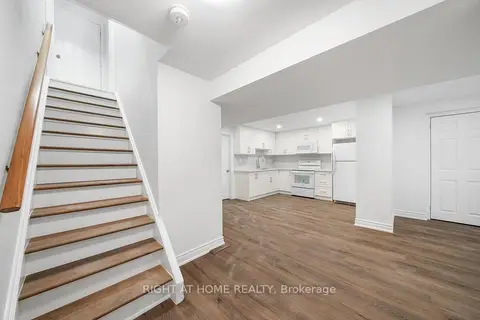
$1,775/mo
Reduced $175
2 bd1 ba1 pk700-1100 ft²
582 Carlyle Court Lower
Donevan, Oshawa
Detached · MLS® E13658374 · RIGHT AT HOME REALTY
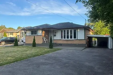
$1,750/mo
3 bd1 ba1 pk700-1100 ft²
1039 Willowdale Avenue Bsmt
Donevan, Oshawa
Detached · MLS® E13814546 · REMAX CONNECT REALTY