2080 STEELES Avenue E 14
Southgate, Brampton, L6T 5A5
$22/mo
- 2 bathrooms
Listed 144 days ago · MLS® W13215676
About this home
INDUSTRIAL UNIT FOR LEASE - PRIME BRAMPTON LOCATION WITH M2 ZONING! EXCELLENT OPPORTUNITY TO LEASE A 3500 SQ FT INDUSTRIAL UNIT AT 2080 STEELES AVENEU EAST, SITUATED IN ONE OF BRAMPTON'S BUSIEST AND MOST ESTABLISHED INDUSTRIAL CORRIDORS. THIS HIGHLY VERSATILE M2 ZONING PERMITS A WIDE RANGE OF USES, INCLUDING MEDIUM SCALE MANUFACTURING, ASSEMBLY, PRODUCTION FACILITIES, PROCESSING FACILITIES, ADMINISTRATIVE OFFICES, AND MORE. POTENTIAL USES MAY ALSO INCLUDED CAR DETAILING AND SOME AUTO RELEATED SERVICES (SUBJECT TO ZONING COMPLINCE? THE PROPERTY IS IDEALLY POSITIONED IN A HIGH TRAFFIC AREA WITH EXCELLENT EXPOSURE, EASY ACCESS TO MAJOR HIGHWAYS, AND CONVENIENT PUBLIC TRANSIT CONNECTIONS. AMPLE ON SITE PARKING IS AVAILABLE FOR STAFF AND VISITORS. NOTE: TIRE SHOP, AUTOBODY & MECHANIC BUSINESS ARE NOT PERMITTED BY THE LANDLORD
Details
- Type
- Industrial
- Lot
- 40.72 × 67.97 ft
- Garage
- Outside/Surface
- Property tax
- $6 (2025)
- Neighbourhood
- Southgate
- Municipality
- Brampton
Interior
- Bathrooms
- 2 × bathroom
Heating, cooling and services
- Heating
- Gas Forced Air Open
- Air conditioning
- Yes
- Utilities
- Yes
Building and exterior
- Building area
- 100 Square Feet
Rental terms
- Minimum term
- 36 months
More
- Possession
- TENANTED/VACANT
- Cross street
- STEELES/BRAMALEA
Location
Location is approximate. See nearby homes on the map
The neighbourhood
Getting around Somewhat walkable
- 🚆 Bramalea GO Station17 min walk
Within a 10-minute walk: no grocery stores, 8 cafés and restaurants, 3 parks, 1 pharmacy. Nearest park: Orenda Parkette (800 m).
Schools nearby
Elementary
- Dorset Drive Public School
EQAO: Gr 3 reading 64%, math 56%1.3 km - Eastbourne Drive Public School
EQAO: Gr 3 reading 68%, math 59%1.5 km - Aloma Crescent Public School
EQAO: Gr 3 reading 71%, math 54%1.5 km - St. John Henry Newman Catholic Elementary School Catholic
EQAO: Gr 6 reading 95%, math 57%1.7 km
Secondary
- Bramalea Secondary School
EQAO: Gr 9 math 44%, literacy test 80%1.9 km - Earnscliffe Senior Public School2.1 km
- Balmoral Drive Senior Public School2.2 km
EQAO: share of students meeting the provincial standard (2024–25). Ontario average: Gr 6 reading 86%, math 51%; Gr 9 math 55%; literacy test 83%.
Closest schools, not school zones. Check which school serves this address with the school board before relying on it.
Who lives here postal area L6T
- Owners / renters
- 54% / 46%
- Median household income
- $83,000
- Average age
- 39
- Children under 15
- 17%
- Homes
- 21% detached, 47% high-rise
- Commute by transit
- 15%
- Population
- 39,614
Languages spoken most at home besides English: Punjabi (Panjabi) 7.1%, Urdu 2.7%, Hindi 2.2%, Spanish 2.1%.
Flood and conservation No mapped hazard
Not inside a mapped flood plain or regulated area.
Screening maps only. Ask the conservation authority for a property inquiry before relying on this.
Safety
Crime Severity Index for Peel Region (Mississauga/Brampton) police: 59 vs 57 for Ontario (2025).
Police-reported figures for the whole police service area, not this street. Rates use the area’s resident population.
Development nearby 1 active
-
119 EAST DR · 350 mSite Plan Approval · In Review · applied 2025Basic Site Plan
-
10-31 MELANIE DR · 300 mSite Plan Approval · Closed · applied 2025Limited Site Plan
-
114 EAST DR · 500 mSite Plan Approval · Withdrawn · applied 2025Limited Site Plan
-
115 EAST DR · 350 mSite Plan Approval · Site Plan Approved · applied 2025Limited Site Plan
-
130 EAST DR · 450 mSite Plan Approval · Site Plan Approved · applied 2024Basic Site Plan
-
13 MELANIE DR · 350 mSite Plan Approval · Site Plan Approved · applied 2024Limited Site Plan
3 more within 500 m.
Rezoning, site plan, subdivision and condominium applications filed with the city.
Distances are approximate. Places © OpenStreetMap contributors. Neighbourhood figures: Statistics Canada, 2021 Census. School results: EQAO via Ontario Data Catalogue (Open Government Licence – Ontario). Crime Severity Index: Statistics Canada. Planning applications: City of Brampton open data.
Living here
Commute
To Union Station (downtown Toronto): 26 km. Transit times · Driving times
Noise 1 source nearby
- ✈️ In line with a Pearson runway4.0 km
Distances from the map, not noise measurements. Visit at rush hour to judge for yourself.
Internet High-speed
50/10 Mbps or faster available here by cable, fibre or DSL (the federal high-speed target).
From the federal broadband map. Check exact speeds and providers for the address.
Roads, rail, airports and planned stations © OpenStreetMap contributors. Internet: Innovation, Science and Economic Development Canada, National Broadband Data.
Listed by PONTIS REALTY INC..
Listing information provided by PropTx Innovations Inc. and TRREB; deemed reliable but not guaranteed accurate by PropTx.
Similar homes nearby
See more in Brampton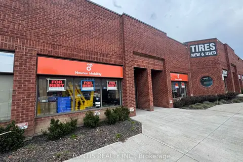
$22/mo
2 ba
2080 STEELES Avenue E 14-15
Southgate, Brampton
Industrial · MLS® W13130732 · PONTIS REALTY INC.
 New
$22/mo
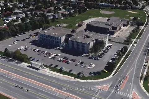
40 Finchgate Boulevard 122
Southgate, Brampton
Office · MLS® W14100488 · H.R. HORIZON REALTY LTD.
$21/mo
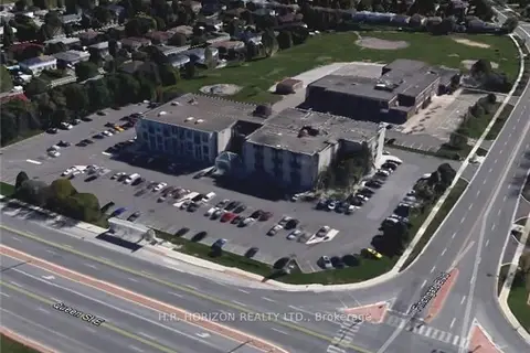
40 Finchgate Boulevard 206
Southgate, Brampton
Office · MLS® W12754628 · H.R. HORIZON REALTY LTD.
$22/mo
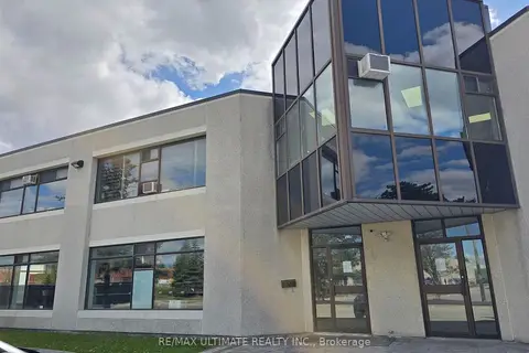
386 Deerhurst Drive A
Gore Industrial South, Brampton
Industrial · MLS® W13211834 · RE/MAX ULTIMATE REALTY INC.
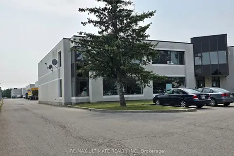
$22/mo
386 Deerhurst Drive A
Gore Industrial South, Brampton
Industrial · MLS® W13598982 · RE/MAX ULTIMATE REALTY INC.
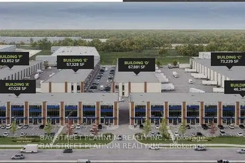
$22/mo
95 Inspire Boulevard D13 (Legal 55)
Sandringham-Wellington North, Brampton
Industrial · MLS® W13811872 · BAY STREET PLATINUM REALTY INC.
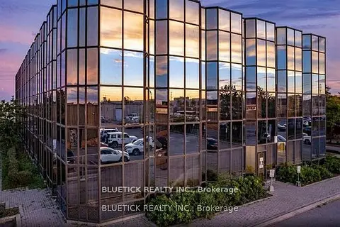
$23/mo
350 Rutherford Road S 100
Brampton East Industrial, Brampton
Office · MLS® W13223990 · BLUETICK REALTY INC.
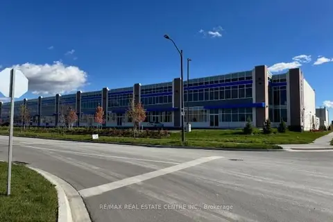
$23/mo
85 Inspire Boulevard C11-14
Sandringham-Wellington North, Brampton
Industrial · MLS® W13515836 · RE/MAX REAL ESTATE CENTRE INC.