2060 Walkley Road
3807 - St. Laurent Industrial Park, Hunt Club - South Keys and Area, K1G 3P5
$13/mo
Listed 208 days ago · MLS® X12923346
About this home
Office/Flex/Lab space for SUBLEASE on Walkley Road. With approximately 30,168 SF of space this building features 4 exterior and 4 interior cameras, 4 fire exits, Mircom fire alarm panel with sprinkler fire supression system throughout building, 600 volt/800 AMP/3PHASE electrical power with 120/208 volt distribution, building automation system, 1 ground level loading door (approx. 7.5 x 7.5 feet), many enclosed offices and work stations, boardroom/meeting rooms, kitchenettes, and washrooms. Building has 13' 2.5" ceiling clearance for the lower roof, and 24' 5" clearance for the upper roof. Rent escalations will apply. Space can be demised. Parking spaces: 144 (Walkley) at no additional charge + 104 (St. Laurent) at $11,500/month. Additional Rent (2026) approx. $7.80 PSF + HST (Walkley Road). Possession available January 27th, 2027.
Details
- Type
- Industrial
- Lot
- 221.65 × 475.19 ft
- Garage
- Outside/Surface
- Property tax
- $8 (2025)
- Neighbourhood
- 3807 - St. Laurent Industrial Park
- Municipality
- Hunt Club - South Keys and Area
Heating, cooling and services
- Heating
- Gas Forced Air Closed
- Air conditioning
- Yes
- Utilities
- Yes
Building and exterior
- Building area
- 30,168 Square Feet
Rental terms
- Minimum term
- 60 months
More
- Possession
- Flexible
- Cross street
- Walkley Road and Conroy Road
Location
Location is approximate. See nearby homes on the map
The neighbourhood
Getting around Somewhat walkable
No subway, LRT or GO station within a short trip.
Within a 10-minute walk: 1 grocery store, 5 cafés and restaurants, 4 parks. Nearest grocery: Metro (850 m). Nearest park: Ottawa Business Park (450 m).
Schools nearby
Elementary
- Sainte-Geneviève Catholic Elementary School Catholic
EQAO: Gr 6 reading 93%, math 64%12 min walk - Arch Street Public School
EQAO: Gr 6 reading 71%, math 37%14 min walk - Hawthorne Public School
EQAO: Gr 6 reading 31%, math 14%16 min walk - St. Luke School Catholic
EQAO: Gr 6 reading 88%, math 46%1.5 km
Secondary
- L'Alternative Public High School5 min walk
- Le Carrefour Adult School5 min walk
- Canterbury High School
EQAO: Gr 9 math 76%, literacy test 94%6 min walk
EQAO: share of students meeting the provincial standard (2024–25). Ontario average: Gr 6 reading 86%, math 51%; Gr 9 math 55%; literacy test 83%.
Closest schools, not school zones. Check which school serves this address with the school board before relying on it.
Who lives here postal area K1G
- Owners / renters
- 51% / 49%
- Median household income
- $83,000
- Average age
- 42
- Children under 15
- 14%
- Homes
- 38% detached, 36% high-rise
- Commute by transit
- 16%
- Population
- 35,074
Languages spoken most at home besides English: Arabic 5.2%, Mandarin 1.3%, Somali 1.1%, Spanish 0.9%.
Distances are approximate. Places © OpenStreetMap contributors. Neighbourhood figures: Statistics Canada, 2021 Census. School results: EQAO via Ontario Data Catalogue (Open Government Licence – Ontario).
Living here
Commute
To downtown Ottawa: 7 km. Transit times · Driving times
Noise Nothing major nearby
No highway within 500 m, rail line within 300 m, or airport flight path nearby.
Distances from the map, not noise measurements. Visit at rush hour to judge for yourself.
Internet High-speed
50/10 Mbps or faster available here by cable, fibre or DSL (the federal high-speed target).
From the federal broadband map. Check exact speeds and providers for the address.
Roads, rail, airports and planned stations © OpenStreetMap contributors. Internet: Innovation, Science and Economic Development Canada, National Broadband Data.
Listed by ZINATI REALTY INC..
Listing information provided by PropTx Innovations Inc. and TRREB; deemed reliable but not guaranteed accurate by PropTx.
Similar homes nearby
See more in Hunt Club - South Keys and Area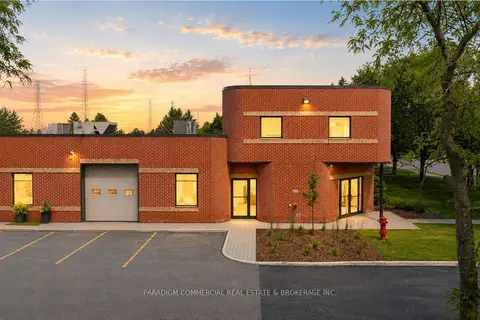
$12/mo
2191 Thurston Drive 6
3807 - St. Laurent Industrial Park, Hunt Club - South Keys and Area
Office · MLS® X13638496 · PARADIGM COMMERCIAL REAL ESTATE & BROKERAGE INC.
$16/mo
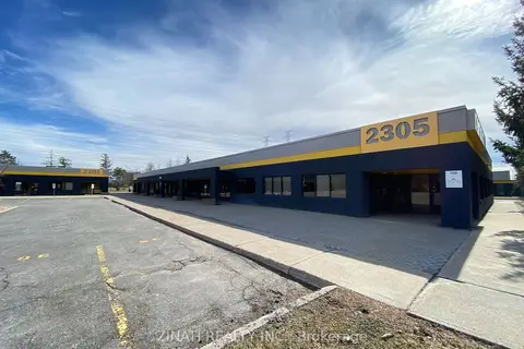
2305 St Laurent Boulevard 200
3807 - St. Laurent Industrial Park, Hunt Club - South Keys and Area
Office · MLS® X11982056 · ZINATI REALTY INC.