2058 Dufferin Street Ground
Caledonia-Fairbank, Toronto, M6E 3R6
$13/mo
Reduced $9,737 from $9,750
- 4 bathrooms
Listed 294 days ago · MLS® W12652832
About this home
Introducing a newly renovated and impeccably finished commercial space, meticulously prepared and ready for immediate operation. This versatile property offers a wide range of potential uses, making it an ideal location for various business ventures. The space is perfectly suited for hospitality establishments, such as restaurants or cafes, with the capacity to accommodate up to 150 guests, making it ideal for events, receptions, or entertainment venues. In addition, the space is well-suited for retail stores, health and fitness centers, spas, educational institutions, medical clinics, specialty food shops, professional offices, and various service-based businesses. Its flexible layout and modern finishes create an inviting environment that can be easily tailored to meet your specific needs. Conveniently located adjacent to public parking facilities, ensuring easy access for customers and clients. The property offers direct access to TTC transit routes and subway stations, providing excellent connectivity and visibility within the community. Tenant responsibilities include payment of utilities and a proportionate share of any future increases in operating expenses. The approximate size of the space allows for a variety of configurations to best suit your operational requirements. Don't miss this exceptional opportunity to establish or expand your business in a prime, accessible location with modern amenities and versatile potential.Next to public Parking Lot
Details
- Type
- Commercial Retail
- Lot
- 26.03 × 12516 ft
- Garage
- Public
- Neighbourhood
- Caledonia-Fairbank
- Municipality
- Toronto W03
Interior
- Bathrooms
- 4 × bathroom
Heating, cooling and services
- Heating
- Electric Forced Air
- Air conditioning
- Yes
- Utilities
- Available
Building and exterior
- Building area
- 7,000 Square Feet
Rental terms
- Minimum term
- 60 months
More
- Possession
- TBN
- Cross street
- Just north of Rogers Rd
Location
Location is approximate. See nearby homes on the map
The neighbourhood
Getting around Very walkable
- 🚇 Fairbank LRT16 min walk
- 🚇 Oakwood LRT1.2 km
- 🚆 Mount Dennis GO3.3 km
Within a 10-minute walk: 3 grocery stores, 23 cafés and restaurants, 7 parks, 2 pharmacies. Nearest grocery: Yip's Fruit and Flower Market (700 m). Nearest park: Marble Hill Parkette (300 m).
Schools nearby
Elementary
- St. John Bosco Catholic School Catholic
EQAO: Gr 6 reading 100%, math 57%5 min walk - D'Arcy McGee Catholic School Catholic
EQAO: Gr 6 reading 72%, math 32%11 min walk - Rawlinson Community School
EQAO: Gr 6 reading 82%, math 39%11 min walk - Fairbank Public School
EQAO: Gr 6 reading 60%, math 16%13 min walk
Secondary
- Spectrum Alternative Senior School14 min walk
EQAO: share of students meeting the provincial standard (2024–25). Ontario average: Gr 6 reading 86%, math 51%; Gr 9 math 55%; literacy test 83%.
Closest schools, not school zones. Check which school serves this address with the school board before relying on it.
Who lives here postal area M6E
- Owners / renters
- 55% / 45%
- Median household income
- $82,000
- Average age
- 42
- Children under 15
- 14%
- Homes
- 35% detached, 10% high-rise
- Commute by transit
- 34%
- Population
- 37,684
Languages spoken most at home besides English: Portuguese 10.7%, Spanish 5.2%, Italian 3.5%, Tagalog (Pilipino, Filipino) 3.2%.
Flood and conservation No mapped hazard
Not inside a mapped flood plain or regulated area.
Screening maps only. Ask the conservation authority for a property inquiry before relying on this.
Safety
Major crime per resident in Caledonia-Fairbank (2025): 21% below the Toronto average, up 8% from the year before.
- Assault28% below average
- Break and enter36% below average
- Auto theft25% above average
- Robberyabout average
- Theft from vehicles25% below average
- Shootingsabout average
Crime Severity Index for Toronto police: 60 vs 57 for Ontario (2025).
Police-reported figures for the whole neighbourhood, not this street. Rates use the area’s resident population.
Development nearby
No planning applications within 500 m in the last five years.
Rezoning, site plan, subdivision and condominium applications filed with the city.
Distances are approximate. Places © OpenStreetMap contributors. Neighbourhood figures: Statistics Canada, 2021 Census. School results: EQAO via Ontario Data Catalogue (Open Government Licence – Ontario). Neighbourhood crime: Toronto Police Service Public Safety Data Portal (Open Government Licence – Toronto Police Service). Crime Severity Index: Statistics Canada.
Living here
Commute
To Union Station (downtown Toronto): 7 km. Transit times · Driving times
Noise Nothing major nearby
No highway within 500 m, rail line within 300 m, or airport flight path nearby.
Distances from the map, not noise measurements. Visit at rush hour to judge for yourself.
What can be built CR
Commercial Residential.
From Toronto’s Zoning By-law 569-2013 map. Lot size, setbacks and trees decide what actually fits; check with a planner before you buy.
Building permits
- Fire Damage · 2024 · ClosedProposal to construct fire damage repairs and interior alterations
- Interior Alterations · 2024 · InspectionBuilding Additions/Alterations, Restaurant 149 Seats or Less , Interior Alterations
1 permit on this block of the street in the last 2 years.
Permits filed with the City of Toronto. A permit doesn’t mean the work passed final inspection.
Trees
25 City street trees within 100 m. That’s fewer than the Toronto average of 42.
Trees on City boulevards only, not private yards or parks.
Internet High-speed
50/10 Mbps or faster available here by cable, fibre or DSL (the federal high-speed target).
From the federal broadband map. Check exact speeds and providers for the address.
Zoning, heritage, building permits and street trees: City of Toronto open data (Open Government Licence – Toronto). Roads, rail, airports and planned stations © OpenStreetMap contributors. Internet: Innovation, Science and Economic Development Canada, National Broadband Data.
Listed by HARVEY KALLES REAL ESTATE LTD..
Listing information provided by PropTx Innovations Inc. and TRREB; deemed reliable but not guaranteed accurate by PropTx.
Similar homes nearby
See more in Toronto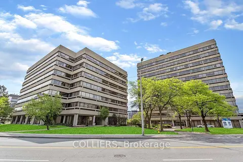
$13/mo
505 Consumers Road 200
Henry Farm, Toronto
Office · MLS® C5687107 · COLLIERS
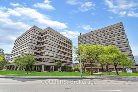
$13/mo
505 Consumers Road 304
Henry Farm, Toronto
Office · MLS® C5687787 · COLLIERS
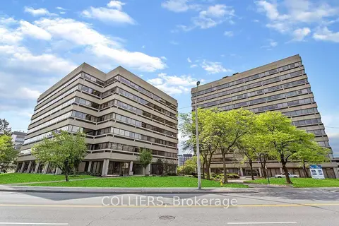
$13/mo
505 Consumers Road 506
Henry Farm, Toronto
Office · MLS® C5688195 · COLLIERS
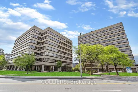
$13/mo
505 Consumers Road 1100
Henry Farm, Toronto
Office · MLS® C5688280 · COLLIERS
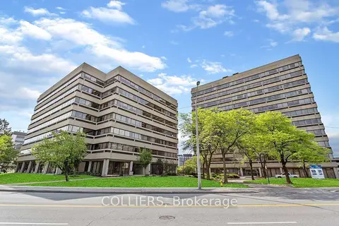
$13/mo
515 Consumers Road 306-310
Henry Farm, Toronto
Office · MLS® C5688434 · COLLIERS
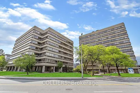
$13/mo
515 Consumers Road 401
Henry Farm, Toronto
Office · MLS® C5688450 · COLLIERS
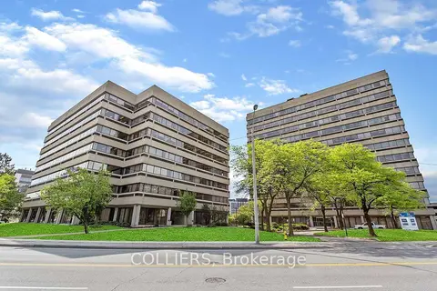
$13/mo
515 Consumers Road 500
Henry Farm, Toronto
Office · MLS® C5688467 · COLLIERS
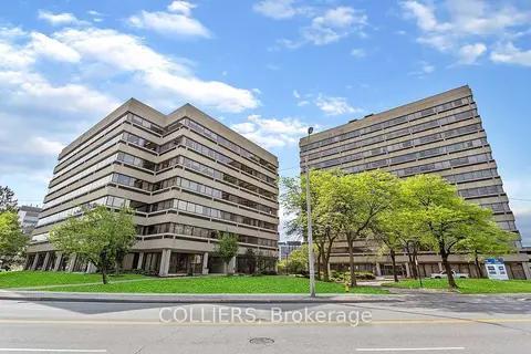
$13/mo
515 Consumers Road 501
Henry Farm, Toronto
Office · MLS® C5688483 · COLLIERS