2033 Kennedy Road 1501
Agincourt South-Malvern West, Toronto, M1T 0B9 · More in this building
$448,000
- 1+1 bedrooms
- 1 bathrooms
- 1 parking
- 500-599 sq ft
Listed 17 days ago · MLS® E13857986
About this home
A must see stunning One Bed plus Den One Washroom .This stunning new unit featuring 9' ceilings and laminate flooring through out and large size private balcony! Luxurious Amenities Includes: Kids Zone, Chill Out Lounge, Private Music Rehearsal Rooms, Guest Suite, Library and Gym,24 Hour Concierge Service .Just Mins Drive To Hwy 401 & 404. Walk To TTC, Day Care, Shopping Plaza, Super market and restaurants
Details
- Type
- Condo Apartment
- Style
- Apartment
- Age
- 0-5 years
- Size
- 500-599 sq ft
- Basement
- None
- Garage
- Other
- Kitchens
- 1
- Property tax
- $2,210 (2026)
- Maintenance fee
- $438/month
- Neighbourhood
- Agincourt South-Malvern West
- Municipality
- Toronto E07
- Price per sq ft
- $815 (25% above condo apartments in Agincourt South-Malvern West, $654)
- Fee per sq ft
- $0.80/month (Toronto median $0.92)
Interior
- Bedrooms
- 1 above ground + 1 below
- Bathrooms
- 1 × 4-piece (flat)
- Rooms
- 4 above ground
- Family room or den
- No
- Fireplace
- No
- Laundry
- Ensuite
- Features
- Carpet Free
Heating, cooling and services
- Heating
- Forced Air, Gas
- Air conditioning
- Central Air
Building and exterior
- Style
- Apartment
- Exterior
- Metal/Steel Siding, Concrete
- Age
- 0-5 years
Parking
- Garage spaces
- 1
- Total parking
- 1
- Driveway and parking
- Covered
Condo
- Monthly fee
- $438
- Fee includes
- Common Elements Included, Building Insurance Included, Parking Included
- Balcony
- Open
- Exposure
- South West
- View
- City
- Pets
- Yes-with Restrictions
- Property manager
- KGD Property Management
More
- Possession
- Immediate
- Cross street
- Kennedy & 401
History of this address
3 earlier listings at this address, with sold and leased prices. Create a free account or sign in to see them.
Location
Location is approximate. See nearby homes on the map
Recent sales nearby
See what similar homes within 1 km sold for in the last year. Create a free account or sign in to see them.
The neighbourhood
Getting around Very walkable
- 🚆 Agincourt GO16 min walk
Within a 10-minute walk: 3 grocery stores, 16 cafés and restaurants, 4 parks, 4 pharmacies. Nearest grocery: Foody World (650 m). Nearest park: 335 Village Green Square Park (150 m).
Schools nearby
Elementary
- Inglewood Heights Junior Public School
EQAO: Gr 6 reading 91%, math 53%11 min walk - Glamorgan Junior Public School
EQAO: Gr 6 reading 88%, math 43%12 min walk - Agincourt Junior Public School
EQAO: Gr 6 reading 94%, math 88%1.3 km - Lynngate Junior Public School
EQAO: Gr 6 reading 81%, math 56%1.3 km
Secondary
- Agincourt Collegiate Institute1.4 km
- Sir Alexander Mackenzie Senior Public School1.6 km
- Stephen Leacock Collegiate Institute
EQAO: Gr 9 math 47%, literacy test 70%1.6 km
EQAO: share of students meeting the provincial standard (2024–25). Ontario average: Gr 6 reading 86%, math 51%; Gr 9 math 55%; literacy test 83%.
Closest schools, not school zones. Check which school serves this address with the school board before relying on it.
Who lives here postal area M1T
- Owners / renters
- 52% / 48%
- Median household income
- $71,500
- Average age
- 45
- Children under 15
- 13%
- Homes
- 27% detached, 53% high-rise
- Commute by transit
- 25%
- Population
- 34,607
Languages spoken most at home besides English: Yue (Cantonese) 10.3%, Mandarin 10%, Tagalog (Pilipino, Filipino) 2.7%, Tamil 2.6%.
Flood and conservation No mapped hazard
Not inside a mapped flood plain or regulated area.
Screening maps only. Ask the conservation authority for a property inquiry before relying on this.
Safety
Major crime per resident in Agincourt South-Malvern West (2025): about the Toronto average, down 15% from the year before.
- Assault39% below average
- Break and enter37% above average
- Auto theft22% above average
- Robbery21% above average
- Theft from vehiclesabout average
- Shootings159% above average
Crime Severity Index for Toronto police: 60 vs 57 for Ontario (2025).
Police-reported figures for the whole neighbourhood, not this street. Rates use the area’s resident population.
Development nearby 4 active
-
40 COWDRAY CRT · 350 mSite Plan · Under Review · applied 2023Site Plan Approval for a 41-storey tower and 26-storey tower mixed-use building, which includes a 5-storey podium on Block 4. The Proposed Development contains…Application details
-
2075 KENNEDY RD · 150 mPlan of Subdivision · Under Review · applied 2021Proposal for a mixed use building with 37-storey and 39-storey tower elements with a 7-storey shared podium, separate 39-storey residential building with a…Application details
-
2075 KENNEDY RD · 150 mSite Plan · Under Review · applied 2021The application seeks to permit the infill development of the vacant L-shaped portion of the site with a mixed-use development comprised of three towers (36,…Application details
-
40 COWDRAY CRT · 350 mPlan of Subdivision · Under Review · applied 2018Multi-phased, high density, mixed use development on 6 blocks of land on Cowdray Court. Includes dedication of lands for expansion of Collingwood Park and for…Application details
-
2035 KENNEDY RD · 100 mSite Plan · Closed · applied 2022Amendment to SPA in folder 16 - 132832Application details
Rezoning, site plan, subdivision and condominium applications filed with the city.
Distances are approximate. Places © OpenStreetMap contributors. Neighbourhood figures: Statistics Canada, 2021 Census. School results: EQAO via Ontario Data Catalogue (Open Government Licence – Ontario). Neighbourhood crime: Toronto Police Service Public Safety Data Portal (Open Government Licence – Toronto Police Service). Crime Severity Index: Statistics Canada. Planning applications: City of Toronto open data.
Living here
Commute
To Union Station (downtown Toronto): 17 km. Transit times · Driving times
Noise 2 sources nearby
- 🛣️ Highway 401150 m
- 🚆 Rail line (Belleville Subdivision)250 m
Distances from the map, not noise measurements. Visit at rush hour to judge for yourself.
Building permits
No building permits at this address since 2014.
6 permits on this block of the street in the last 2 years.
Permits filed with the City of Toronto. A permit doesn’t mean the work passed final inspection.
Trees
10 City street trees within 100 m, mostly maples. That’s fewer than the Toronto average of 42.
Trees on City boulevards only, not private yards or parks.
Internet High-speed
50/10 Mbps or faster available here by cable, fibre or DSL (the federal high-speed target).
From the federal broadband map. Check exact speeds and providers for the address.
Short-term rentals
Only in your principal residence (where you live). The entire home can be rented up to 180 nights a year; renting up to 3 bedrooms while you live there has no limit. Hosts register with the City and collect the 6% accommodation tax.
Zoning, heritage, building permits and street trees: City of Toronto open data (Open Government Licence – Toronto). Roads, rail, airports and planned stations © OpenStreetMap contributors. Internet: Innovation, Science and Economic Development Canada, National Broadband Data.
Listed by RealtyAI Plus Inc..
Listing information provided by PropTx Innovations Inc. and TRREB; deemed reliable but not guaranteed accurate by PropTx.
Similar homes nearby
See more in Toronto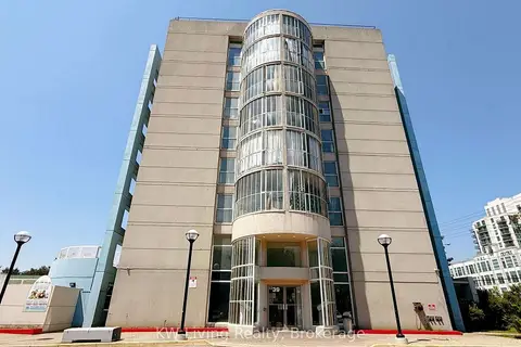
$449,000
2 bd1 ba1 pk900-999 ft²
39 Kimbercroft Court 718
Agincourt South-Malvern West, Toronto
Condo Apartment · MLS® E13599826 · KW Living Realty
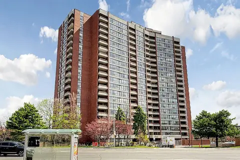
$455,000
3 bd2 ba1 pk1200-1399 ft²
2365 Kennedy Road 505
Agincourt South-Malvern West, Toronto
Condo Apartment · MLS® E13518452 · RE/MAX REALTRON REALTY INC.
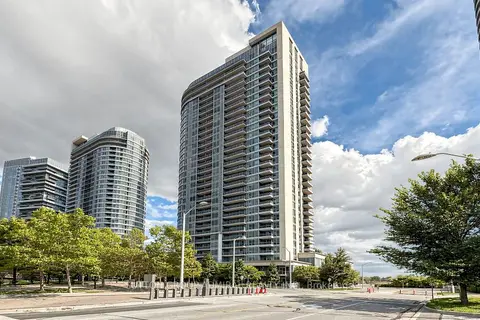
$438,888
1 bd1 ba1 pk600-699 ft²
151 Village Green Square 1005
Agincourt South-Malvern West, Toronto
Condo Apartment · MLS® E13808614 · SUTTON GROUP-ADMIRAL REALTY INC.
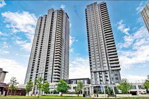
$459,000
1+1 bd2 ba1 pk600-699 ft²
275 Village Green Square 525
Agincourt South-Malvern West, Toronto
Condo Apartment · MLS® E13879084 · RE/MAX CROSSROADS REALTY INC.
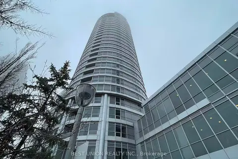
$435,000
Reduced $14,900
2 bd1 ba1 pk600-699 ft²
181 Village Green Square PH20
Agincourt South-Malvern West, Toronto
Condo Apartment · MLS® E13622162 · BEST UNION REALTY INC.
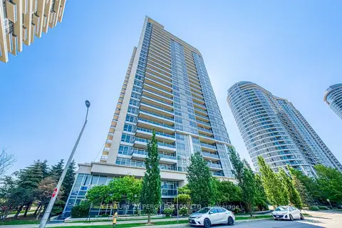
$464,000
2 bd1 ba1 pk700-799 ft²
181 Village Green Square 116
Agincourt South-Malvern West, Toronto
Condo Apartment · MLS® E13816580 · CENTURY 21 PERCY FULTON LTD.
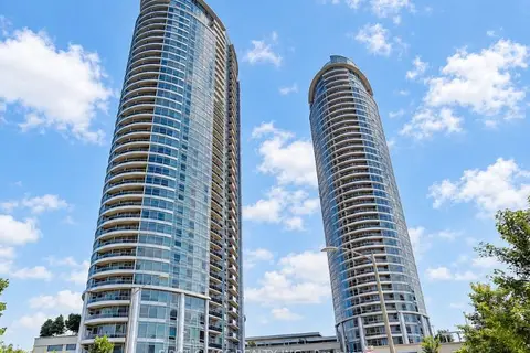
$465,000
1+1 bd1 ba1 pk700-799 ft²
135 Village Green Square 2216
Agincourt South-Malvern West, Toronto
Condo Apartment · MLS® E13866946 · FIRST CLASS REALTY INC.
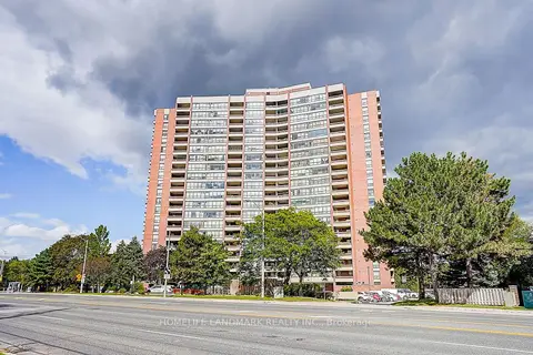
$429,000
2 bd2 ba1 pk900-999 ft²
2365 Kennedy Road 611
Agincourt South-Malvern West, Toronto
Condo Apartment · MLS® E13783292 · HOMELIFE LANDMARK REALTY INC.