200 Sackville Street 714
Regent Park, Toronto, M5A 0C4 · More in this building
$579,999
Reduced $29,901 from $609,900
- 2 bedrooms
- 1 bathrooms
- 1 parking
- 600-699 sq ft
Listed 139 days ago · MLS® C13232480
About this home
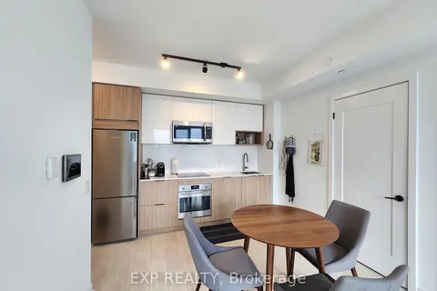
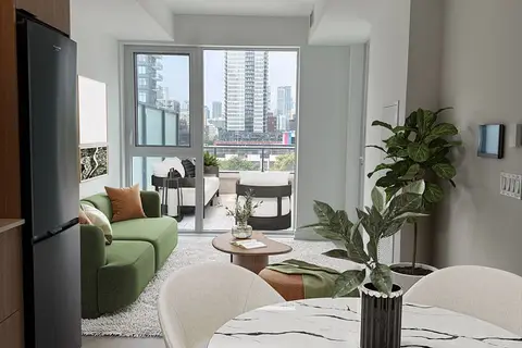
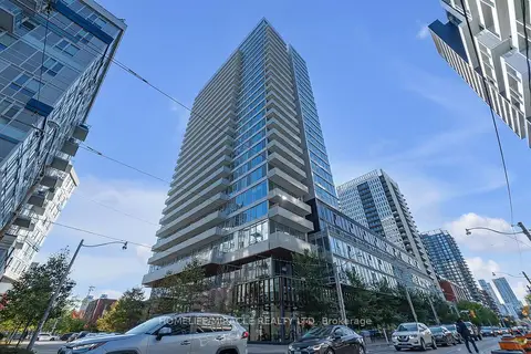
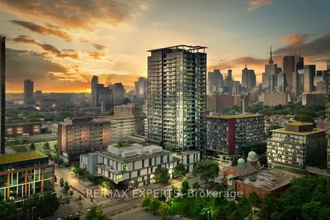
Freshly painted, this bright 2-bedroom suite offers a well-designed layout with large windows and high ceilings, creating a comfortable living space. Includes parking and locker. Located in the heart of Regent Park's major revitalization, this is one of downtown Toronto's most connected and accessible communities. A 99 Walk Score, 95 Transit Score, and 99 Bike Score reflect exceptional connectivity while supporting a complete urban lifestyle, with nearby fitness and wellness options including F45 Training and Ultra Pilates, and everyday convenience provided by FreshCo, No Frills, and nearby specialty offerings such as Terroni Spaccio. Excellent transit access and quick connections to the DVP and Gardiner Expressway, approximately 10 minutes away, and seamless access to the downtown core. Offering a rare balance of urban energy and meaningful green space, Regent Park's Aquatic Centre and Athletic Grounds serve as key community anchors, while Corktown Common, Riverdale Park/Farm, Allan Gardens, and the Don River trails provide an extensive network of parks and recreational space. The Distillery District, St. Lawrence Market, Old Town Toronto, Cherry Beach, Sugar Beach, and the waterfront are all easily accessible by bike, transit, or car. Families benefit from established nearby school options, including Nelson Mandela Park Public School, within catchments such as ÉÉ Gabrielle-Roy and Collège français secondaire, with a range of Catholic, private, and childcare options. Built by Daniels Corp, The Bartholomew is a well-regarded 13-storey residence known for its community-oriented design and lower-density feel. Resident-focused amenities include a courtyard garden club and regular programming that foster a strong sense of community. Building amenities include a gym, party room, media room, outdoor terrace, pet wash station, visitor parking, and bicycle storage. Walk, Transit and Bike Scores sourced from WalkScore.com. School catchment data sourced from HoodQ.com
Details
- Type
- Condo Apartment
- Style
- Apartment
- Age
- 6-10 years
- Size
- 600-699 sq ft
- Basement
- None
- Garage
- Underground
- Kitchens
- 1
- Property tax
- $2,873 (2026)
- Maintenance fee
- $682/month
- Neighbourhood
- Regent Park
- Municipality
- Toronto C08
- Price per sq ft
- $893 (8% above condo apartments in Regent Park, $827)
- Fee per sq ft
- $1.05/month (Toronto median $0.92)
Interior
- Bedrooms
- 2 above ground
- Bathrooms
- 1 × 4-piece
- Rooms
- 4 above ground
- Family room or den
- No
- Fireplace
- No
- Laundry
- In-Suite Laundry, Ensuite
- Features
- Carpet Free, Built-In Oven, Countertop Range
Heating, cooling and services
- Heating
- Fan Coil, Electric
- Air conditioning
- Central Air
Building and exterior
- Style
- Apartment
- Exterior
- Brick, Concrete
- Age
- 6-10 years
Parking
- Garage spaces
- 1
- Total parking
- 1
Condo
- Building
- The Bartholomew
- Monthly fee
- $682
- Fee includes
- Common Elements Included, Parking Included, Water Included, Building Insurance Included
- Amenities
- Bike Storage, Concierge, Gym, Party Room/Meeting Room, Visitor Parking, Rooftop Deck/Garden
- Locker
- Owned (level 1)
- Balcony
- Open
- Exposure
- East
- Pets
- Yes-with Restrictions
- Property manager
- Icon Property Management
More
- Possession
- Flexible
- Cross street
- Dundas St E & Parliament St
History of this address
3 earlier listings at this address, with sold and leased prices. Create a free account or sign in to see them.
Location
Location is approximate. See nearby homes on the map
Recent sales nearby
See what similar homes within 1 km sold for in the last year. Create a free account or sign in to see them.
The neighbourhood
Getting around Very walkable
- 🚇 TMU Subway1.5 km
- 🚇 Queen Subway1.5 km
- 🚆 Toronto Union Station GO2.1 km
Within a 10-minute walk: 9 grocery stores, 95 cafés and restaurants, 21 parks, 16 pharmacies. Nearest grocery: FreshCo (200 m). Nearest park: Regent Park (250 m).
Schools nearby
Elementary
- Nelson Mandela Park Public School
EQAO: Gr 6 reading 76%, math 17%3 min walk - Lord Dufferin Junior and Senior Public School
EQAO: Gr 6 reading 80%, math 30%6 min walk - St. Paul Catholic School Catholic
EQAO: Gr 6 reading 87%, math 50%6 min walk - Sprucecourt Junior Public School
EQAO: Gr 6 reading 85%, math 25%10 min walk
Secondary
- Inglenook Community School
EQAO: literacy test 50%10 min walk - SEED Alternative School17 min walk
- Queen Alexandra Middle School18 min walk
EQAO: share of students meeting the provincial standard (2024–25). Ontario average: Gr 6 reading 86%, math 51%; Gr 9 math 55%; literacy test 83%.
Closest schools, not school zones. Check which school serves this address with the school board before relying on it.
Who lives here postal area M5A
- Owners / renters
- 35% / 65%
- Median household income
- $71,000
- Average age
- 40
- Children under 15
- 9%
- Homes
- 0% detached, 78% high-rise
- Commute by transit
- 28%
- Population
- 48,978
Languages spoken most at home besides English: Bengali 1.8%, Mandarin 1.7%, Yue (Cantonese) 1.5%, Spanish 1.3%.
Flood and conservation No mapped hazard
Not inside a mapped flood plain or regulated area.
Screening maps only. Ask the conservation authority for a property inquiry before relying on this.
Safety
Major crime per resident in Regent Park (2025): about the Toronto average, down 7% from the year before.
- Assault23% above average
- Break and enterabout average
- Auto theft58% below average
- Robberyabout average
- Theft from vehicles41% below average
- Shootings27% below average
Crime Severity Index for Toronto police: 60 vs 57 for Ontario (2025).
Police-reported figures for the whole neighbourhood, not this street. Rates use the area’s resident population.
Development nearby 16 active
-
77 RIVER ST · 450 mOfficial Plan / Zoning By-law Amendment · Application Received · applied 2026Proposed 46-storey residential building and a 2-storey non-residential building. Overall, the buildings contain a total of 1,170 dwelling units, 72,748.1 sq. m…Application details
-
310 GERRARD ST E · 450 mSite Plan · Under Review · applied 2026Site Plan Approval for an 11-storey mixed-use building containing 228 market and affordable residential units, plus office and community program space.Application details
-
500 DUNDAS ST E · 150 mOfficial Plan / Zoning By-law Amendment · Council Approved · applied 2026Proposed 35-storey mixed use building (122.2 metres, including mechanical penthouse), containing 413 dwelling units and a minimum of 200 square metres of…Application details
-
747 DUNDAS ST E · 500 mOfficial Plan / Zoning By-law Amendment · Under Review · applied 2025Official Plan and Zoning By-law Amendment application for a mixed-use development comprised of two 48-storey towers containing approximately 1,197 residential…Application details
-
620 DUNDAS ST E · 250 mSite Plan · NOAC Issued · applied 2025Building 4A Proposal to construct a 26-storey tower, 10 storey mid-rise podium TCHC social housing building with 271 units, retail at grade along Gerrard…Application details
-
477 QUEEN ST E · 400 mSite Plan · OMB Appeal · applied 2023The proposed development will be 15 storeys in height, plus mezzanine and mechanical penthouse along Queen Street East. Parking elevator access to four levels…Application details
18 more within 500 m.
Rezoning, site plan, subdivision and condominium applications filed with the city.
Distances are approximate. Places © OpenStreetMap contributors. Neighbourhood figures: Statistics Canada, 2021 Census. School results: EQAO via Ontario Data Catalogue (Open Government Licence – Ontario). Neighbourhood crime: Toronto Police Service Public Safety Data Portal (Open Government Licence – Toronto Police Service). Crime Severity Index: Statistics Canada. Planning applications: City of Toronto open data.
Living here
Commute
To Union Station (downtown Toronto): 2 km. Transit times · Driving times
Coming transit
- 🚧 Moss Park 800 m
- 🚧 Distillery District 800 m
- 🚧 East Harbour Ontario Line1.3 km · opening early 2030s
Stations under construction or approved. Opening dates are the latest public estimates and often move.
Noise Nothing major nearby
No highway within 500 m, rail line within 300 m, or airport flight path nearby.
Distances from the map, not noise measurements. Visit at rush hour to judge for yourself.
Building permits
- New Building · 2017 · InspectionProposal to construct a 13 storey residential condo with 159 units and 1 level of underground parking. See also 11 218221 STE and 14 229457…
- Electromagnetic Locks · 2016 · ClosedInstall 2 maglocks on P1 Level and 1 maglock on the ground floor.
Permits filed with the City of Toronto. A permit doesn’t mean the work passed final inspection.
Trees
81 City street trees within 100 m, mostly beechs. That’s more than the Toronto average of 42.
Trees on City boulevards only, not private yards or parks.
Internet High-speed
50/10 Mbps or faster available here by cable, fibre or DSL (the federal high-speed target).
From the federal broadband map. Check exact speeds and providers for the address.
Short-term rentals
Only in your principal residence (where you live). The entire home can be rented up to 180 nights a year; renting up to 3 bedrooms while you live there has no limit. Hosts register with the City and collect the 6% accommodation tax.
Zoning, heritage, building permits and street trees: City of Toronto open data (Open Government Licence – Toronto). Roads, rail, airports and planned stations © OpenStreetMap contributors. Internet: Innovation, Science and Economic Development Canada, National Broadband Data.
Listed by RIGHT AT HOME REALTY.
Listing information provided by PropTx Innovations Inc. and TRREB; deemed reliable but not guaranteed accurate by PropTx.
Similar homes nearby
See more in Toronto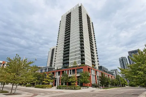
$585,000
1+1 bd1 ba1 pk600-699 ft²
55 Regent Park Boulevard 408
Regent Park, Toronto
Condo Apartment · MLS® C13812876 · Century 21 Signature Service
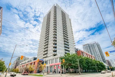
$574,990
2 bd2 ba1 pk700-799 ft²
170 Sumach Street 502
Regent Park, Toronto
Condo Apartment · MLS® C13800536 · BAY STREET GROUP INC.
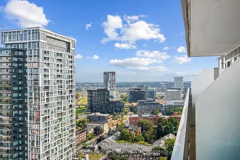
$588,800
1+1 bd1 ba0-499 ft²
20 Tubman Avenue 2307
Regent Park, Toronto
Condo Apartment · MLS® C13598350 · RE/MAX REALTY SERVICES INC.
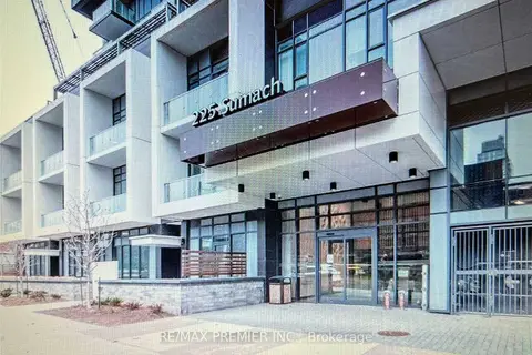
$599,000
1+1 bd1 ba1 pk600-699 ft²
225 Sumach Street 912
Regent Park, Toronto
Condo Apartment · MLS® C13792392 · RE/MAX PREMIER INC.
$599,900
2 bd2 ba1 pk700-799 ft²
5 Defries Street 3012
Regent Park, Toronto
Condo Apartment · MLS® C13465282 · EXP REALTY
$599,991
2 bd2 ba1 pk700-799 ft²
5 Defries Street 521
Regent Park, Toronto
Condo Apartment · MLS® C13793600 · MILBORNE REAL ESTATE INC.
$600,000
2 bd2 ba1 pk700-799 ft²
20 Tubman Avenue 607
Regent Park, Toronto
Condo Apartment · MLS® C13851190 · HOMELIFE/MIRACLE REALTY LTD
$558,888
1+1 bd2 ba600-699 ft²
225 Sackville Street 1907
Regent Park, Toronto
Condo Apartment · MLS® C13493620 · RE/MAX EXPERTS