200 Consilium Place 7
Woburn, Toronto, M1H 3J3
$30/mo
Listed 193 days ago · MLS® E12978864
About this home
Great retail food court opportunity in this A+ office campus of over 1,000,000 sq ft. Former Pumpernickels. Fully renovated and refreshed atrium retail area with outdoor seating options. Existing leaseholds in good conditions with exhaust.
Details
- Type
- Commercial Retail
- Garage
- Underground
- Property tax
- $20 (2026)
- Neighbourhood
- Woburn
- Municipality
- Toronto E09
Heating, cooling and services
- Heating
- Gas Forced Air Open
- Air conditioning
- Yes
- Water and sewer
- Sanitary+Storm
- Utilities
- Yes
Building and exterior
- Building area
- 1,302 Square Feet
Rental terms
- Minimum term
- 60 months
More
- Possession
- Immediate
- Cross street
- McCowan Road & Consilium Pl
- Business type
- Hospitality/Food Related
Location
Location is approximate. See nearby homes on the map
The neighbourhood
Getting around Very walkable
- 🚆 Agincourt GO2.8 km
Within a 10-minute walk: 5 grocery stores, 28 cafés and restaurants, 4 parks, 7 pharmacies. Nearest grocery: FreshCo (350 m). Nearest park: Hillsborough Park (500 m).
Schools nearby
Elementary
- North Bendale Junior Public School
EQAO: Gr 6 reading 92%, math 58%13 min walk - St. Victor Catholic School Catholic
EQAO: Gr 6 reading 77%, math 49%17 min walk - White Haven Junior Public School
EQAO: Gr 6 reading 87%, math 57%18 min walk - St. Richard Catholic School Catholic
EQAO: Gr 6 reading 90%, math 62%1.3 km
Secondary
- St. Andrews Public School Catholic18 min walk
- Woburn Collegiate Institute
EQAO: Gr 9 math 51%, literacy test 81%1.9 km
EQAO: share of students meeting the provincial standard (2024–25). Ontario average: Gr 6 reading 86%, math 51%; Gr 9 math 55%; literacy test 83%.
Closest schools, not school zones. Check which school serves this address with the school board before relying on it.
Who lives here postal area M1H
- Owners / renters
- 62% / 38%
- Median household income
- $80,000
- Average age
- 41
- Children under 15
- 15%
- Homes
- 30% detached, 56% high-rise
- Commute by transit
- 27%
- Population
- 23,964
Languages spoken most at home besides English: Gujarati 6%, Tamil 5.7%, Yue (Cantonese) 3.6%, Tagalog (Pilipino, Filipino) 3.1%.
Flood and conservation No mapped hazard
Not inside a mapped flood plain or regulated area.
Screening maps only. Ask the conservation authority for a property inquiry before relying on this.
Safety
Major crime per resident in Woburn North (2025): about the Toronto average, up 9% from the year before.
- Assaultabout average
- Break and enterabout average
- Auto theft41% above average
- Robberyabout average
- Theft from vehicles33% above average
- Shootings71% above average
Crime Severity Index for Toronto police: 60 vs 57 for Ontario (2025).
Police-reported figures for the whole neighbourhood, not this street. Rates use the area’s resident population.
Development nearby 16 active
-
85 CORPORATE DR · 250 mPlan of Subdivision · Under Review · applied 2026Draft Plan of Subdivision (DPS) to permit a comprehensive mixed-use development on the subject site, including two development blocks, a public road, public…Application details
-
85 CORPORATE DR · 250 mOfficial Plan / Zoning By-law Amendment · Under Review · applied 2026Proposal of five residential/mixed-use buildings, with heights of 48 storeys (Building D1), 46 storeys (Building D2), 44 storeys (Building D3) and 42 storeys…Application details
-
710 PROGRESS AVE · 350 mOfficial Plan / Zoning By-law Amendment · Application Received · applied 2025
-
710 PROGRESS AVE · 350 mOfficial Plan / Zoning By-law Amendment · Under Review · applied 2024Official Plan amendment and zoning by-law amendment to facilitate the development of two mixed-use towers (41 and 46-storeys) on a 8,885.58 square metre site.Application details
-
140 GRANGEWAY AVE · 150 mSite Plan · Under Review · applied 2023Site Plan Approval for TTC's Scarborough Subway Extension Scarborough Center StationApplication details
-
1710 ELLESMERE RD · 450 mSite Plan · Under Review · applied 2023Site Plan Approval for two (2) residential towers above a 6-storey podium. Tower A is proposed at 49-storeys total and features approximately 499 residential…Application details
12 more within 500 m.
Rezoning, site plan, subdivision and condominium applications filed with the city.
Distances are approximate. Places © OpenStreetMap contributors. Neighbourhood figures: Statistics Canada, 2021 Census. School results: EQAO via Ontario Data Catalogue (Open Government Licence – Ontario). Neighbourhood crime: Toronto Police Service Public Safety Data Portal (Open Government Licence – Toronto Police Service). Crime Severity Index: Statistics Canada. Planning applications: City of Toronto open data.
Living here
Commute
To Union Station (downtown Toronto): 18 km. Transit times · Driving times
Noise 1 source nearby
- 🛣️ Highway 401450 m
Distances from the map, not noise measurements. Visit at rush hour to judge for yourself.
Building permits
- Interior Alterations · 2023 · Permit IssuedProposal for interior alteration - new partitions and furniture refreshment
- Interior Alterations · 2023 · ClosedProposed interior alterations to create two new test chambers in an existing office space. *15th Floor*
- Interior Alterations · 2022 · InspectionAddition of 7 test chambers and relocated workstations on the 15th floor - Telus - CBRE
- Interior Alterations · 2022 · ClosedProposal for new RF chamber inside existing room Unit 1400.
- Fire Alarm · 2019 · ClosedProposal for the replacement of the fire alarm panels and addition of visual strobes in ground floor landlords public areas.
Permits filed with the City of Toronto. A permit doesn’t mean the work passed final inspection.
Trees
12 City street trees within 100 m. That’s fewer than the Toronto average of 42.
Trees on City boulevards only, not private yards or parks.
Internet High-speed
50/10 Mbps or faster available here by cable, fibre or DSL (the federal high-speed target).
From the federal broadband map. Check exact speeds and providers for the address.
Zoning, heritage, building permits and street trees: City of Toronto open data (Open Government Licence – Toronto). Roads, rail, airports and planned stations © OpenStreetMap contributors. Internet: Innovation, Science and Economic Development Canada, National Broadband Data.
Listed by COLLIERS.
Listing information provided by PropTx Innovations Inc. and TRREB; deemed reliable but not guaranteed accurate by PropTx.
Similar homes nearby
See more in Toronto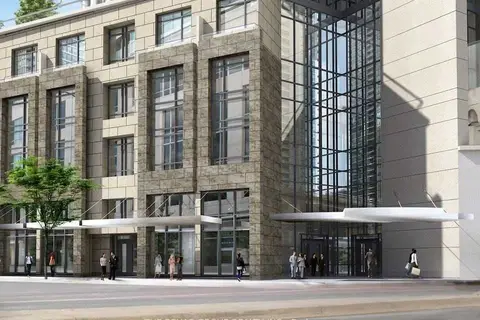
$30/mo
1 The Esplanade UR1
Waterfront Communities C8, Toronto
Commercial Retail · MLS® C4837237 · THE BEHAR GROUP REALTY INC.
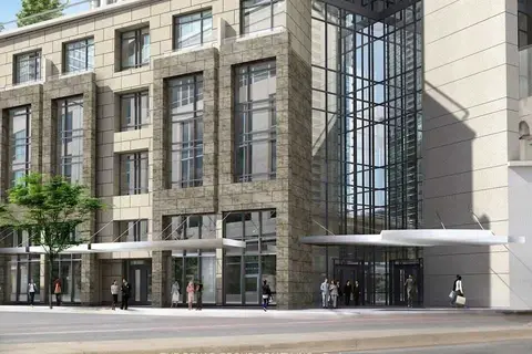
$30/mo
1 The Esplanade UR1
Waterfront Communities C8, Toronto
Office · MLS® C5093265 · THE BEHAR GROUP REALTY INC.
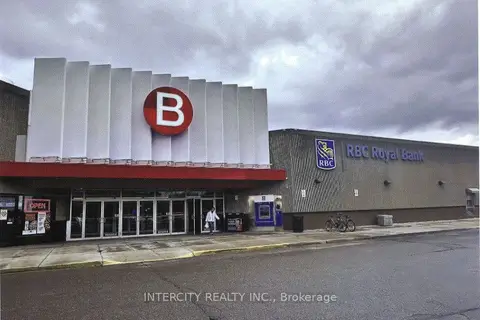
$30/mo
2900 Warden Avenue 259
L'Amoreaux, Toronto
Commercial Retail · MLS® E8236994 · INTERCITY REALTY INC.
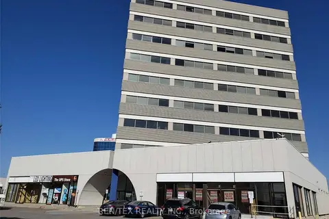
$30/mo
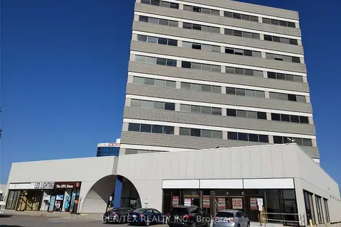
1110 Finch Avenue W 502
York University Heights, Toronto
Office · MLS® W5963200 · REN/TEX REALTY INC.
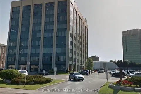
$30/mo
1110 Finch Avenue W 402
York University Heights, Toronto
Office · MLS® W7257640 · REN/TEX REALTY INC.
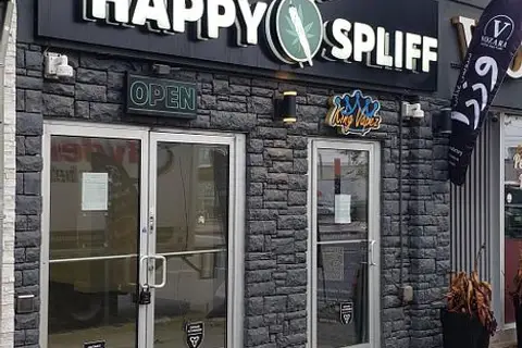
$30/mo
250 Consumers Road 720
Henry Farm, Toronto
Office · MLS® C12093787 · REN/TEX REALTY INC.
$30/mo
Reduced $5
856 Eglinton Avenue E
Leaside, Toronto
Commercial Retail · MLS® C12578762 · BOSLEY REAL ESTATE LTD.
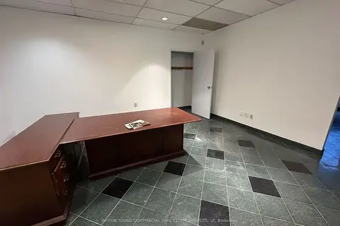
$30/mo
55 Eglinton Avenue E 605
Mount Pleasant West, Toronto
Office · MLS® C12688978 · AVISON YOUNG COMMERCIAL REAL ESTATE SERVICES, LP