1977 Finch Avenue W 216
Glenfield-Jane Heights, Toronto, M3N 2V3
$1,483/mo
Listed 162 days ago · MLS® W13111618
About this home
Great Exposure, Large Busy Plaza Located At The S/W Corner Of Finch And Jane, 890 Sqft Finished Unti On 2nd Floor, Immediate Occupancy Ready For Professional Office Or Retail Use, Ttc At All 4 Corners, Finch Lrt, 1 Bus To Finch West Station, Minutes To Hwy 400, Surrounded By Jian Hing (Kien Hung) Chinese Supermarket, Pho Con Bo Vietnamese Restaurant, Pizza Hut, Kfc, Subway And Many More Shops.
Details
- Type
- Commercial Retail
- Garage
- Outside/Surface
- Neighbourhood
- Glenfield-Jane Heights
- Municipality
- Toronto W05
Heating, cooling and services
- Heating
- Gas Forced Air Closed
- Air conditioning
- Yes
- Water and sewer
- Sanitary+Storm
- Utilities
- Yes
Building and exterior
- Building area
- 890 Square Feet
Rental terms
- Minimum term
- 24 months
More
- Possession
- 1-29 DAYS / FLEXIBLE
- Cross street
- Finch Ave West / Jane Street
Location
Location is approximate. See nearby homes on the map
The neighbourhood
Getting around Very walkable
- 🚇 Jane and Finch LRT3 min walk
- 🚇 Norfinch Oakdale LRT7 min walk
- 🚆 Downsview Park GO3.3 km
Within a 10-minute walk: 2 grocery stores, 11 cafés and restaurants, 4 parks, 7 pharmacies. Nearest grocery: FreshCo (200 m). Nearest park: Remberto Navia Sports Field (600 m).
Schools nearby
Elementary
- St. Francis de Sales Catholic School Catholic
EQAO: Gr 6 reading 64%, math 20%4 min walk - Firgrove Public School
EQAO: Gr 3 reading 62%, math 52%7 min walk - Topcliff Public School
EQAO: Gr 3 reading 39%, math 43%10 min walk - St. Charles Garnier Catholic School Catholic
EQAO: Gr 6 reading 87%, math 21%12 min walk
Secondary
- Westview Centennial Secondary School
EQAO: Gr 9 math 21%, literacy test 58%9 min walk - Oakdale Park Middle School18 min walk
- Brookview Middle School1.2 km
EQAO: share of students meeting the provincial standard (2024–25). Ontario average: Gr 6 reading 86%, math 51%; Gr 9 math 55%; literacy test 83%.
Closest schools, not school zones. Check which school serves this address with the school board before relying on it.
Who lives here postal area M3N
- Owners / renters
- 37% / 63%
- Median household income
- $66,500
- Average age
- 39
- Children under 15
- 18%
- Homes
- 7% detached, 52% high-rise
- Commute by transit
- 29%
- Population
- 40,846
Languages spoken most at home besides English: Vietnamese 7.3%, Spanish 4.8%, Italian 2.4%, Tagalog (Pilipino, Filipino) 2.2%.
Flood and conservation No mapped hazard
Not inside a mapped flood plain or regulated area.
Screening maps only. Ask the conservation authority for a property inquiry before relying on this.
Safety
Major crime per resident in Glenfield-Jane Heights (2025): 23% above the Toronto average, down 5% from the year before.
- Assault41% above average
- Break and enter40% below average
- Auto theftabout average
- Robbery84% above average
- Theft from vehicles54% below average
- Shootings208% above average
Crime Severity Index for Toronto police: 60 vs 57 for Ontario (2025).
Police-reported figures for the whole neighbourhood, not this street. Rates use the area’s resident population.
Development nearby 2 active
-
1911 FINCH AVE W · 150 mSite Plan · Under Review · applied 2023Site Plan Control Application to facilitate Phase 1 of the proposed redevelopment of the Jane Finch Mall. Phase 1 incorporates the lands fronting on Finch…Application details
-
4 CANE GRASSWAY · 400 mPlan of Subdivision · Draft Plan Approved · applied 2020A Rezoning Amendment and Draft Plan of Subdivision application to re-develop the site with 6 new residential buildings, a community centre, a public park,…Application details
-
1911 FINCH AVE W · 150 mOfficial Plan / Zoning By-law Amendment · Closed · applied 2023The stand-alone Official Plan Amendment proposes to establish a site and area specific policy (SASP) in order to facilitate the long-term, multi-phased…Application details
-
1911 FINCH AVE W · 150 mOfficial Plan / Zoning By-law Amendment · Closed · applied 2023The Zoning By-law Amendment proposes the development of Phase 1, incorporating the lands fronting on Finch Avenue West. Six new buildings are proposed, with…Application details
-
1 YORK GATE BLVD · 300 mSite Plan · OMB Approved · applied 2022**The OLT issued the Final Order on the ZBA appeal (OLT-23-000969) and adjourned the site plan appeal (OLT-23-000970). The site plan appeal is currently in the…Application details
-
1 YORK GATE BLVD · 300 mOfficial Plan / Zoning By-law Amendment · OMB Approved · applied 2022Construction of a 22-storey purpose-built rental residential apartment building in the northwest portion of the property.Application details
Rezoning, site plan, subdivision and condominium applications filed with the city.
Distances are approximate. Places © OpenStreetMap contributors. Neighbourhood figures: Statistics Canada, 2021 Census. School results: EQAO via Ontario Data Catalogue (Open Government Licence – Ontario). Neighbourhood crime: Toronto Police Service Public Safety Data Portal (Open Government Licence – Toronto Police Service). Crime Severity Index: Statistics Canada. Planning applications: City of Toronto open data.
Living here
Commute
To Union Station (downtown Toronto): 17 km. Transit times · Driving times
Noise Nothing major nearby
No highway within 500 m, rail line within 300 m, or airport flight path nearby.
Distances from the map, not noise measurements. Visit at rush hour to judge for yourself.
What can be built CR
Commercial Residential (with a site-specific exception).
From Toronto’s Zoning By-law 569-2013 map. Lot size, setbacks and trees decide what actually fits; check with a planner before you buy.
Trees
7 City street trees within 100 m, mostly maples. That’s fewer than the Toronto average of 42.
Trees on City boulevards only, not private yards or parks.
Internet High-speed
50/10 Mbps or faster available here by cable, fibre or DSL (the federal high-speed target).
From the federal broadband map. Check exact speeds and providers for the address.
Zoning, heritage, building permits and street trees: City of Toronto open data (Open Government Licence – Toronto). Roads, rail, airports and planned stations © OpenStreetMap contributors. Internet: Innovation, Science and Economic Development Canada, National Broadband Data.
Listed by SUTTON GROUP-TOWER REALTY LTD..
Listing information provided by PropTx Innovations Inc. and TRREB; deemed reliable but not guaranteed accurate by PropTx.
Similar homes nearby
See more in Toronto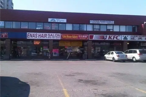
$1,365/mo
1977 Finch Avenue W 205
Glenfield-Jane Heights, Toronto
Commercial Retail · MLS® W13111514 · SUTTON GROUP-TOWER REALTY LTD.
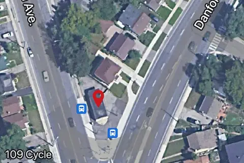
$1,485/mo
1 ba
Unit 2
Oakridge, Toronto
Commercial Retail · MLS® E12988870 · RIGHT AT HOME REALTY
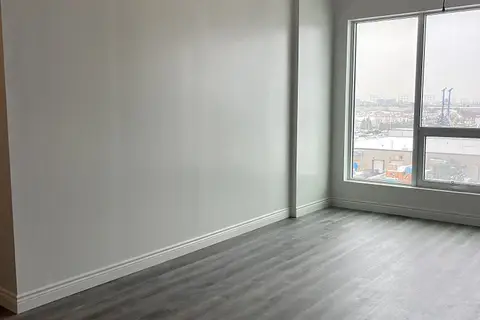
$1,480/mo
600 Dixon Road 423
West Humber-Clairville, Toronto
Office · MLS® W13422224 · RE/MAX WEST REALTY INC.
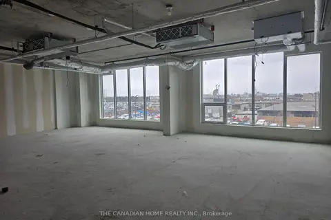
$1,475/mo
600 Dixon Road 227
West Humber-Clairville, Toronto
Office · MLS® W13628820 · THE CANADIAN HOME REALTY INC.

$1,495/mo
2 ba
3300 Mcnicoll Avenue 209
Milliken, Toronto
Office · MLS® E13713778 · RE/MAX REALTRON REAL REALTY TEAM
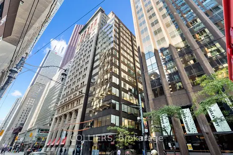
$1,500/mo
Reduced $500
10 King Street E 710
Church-Yonge Corridor, Toronto
Office · MLS® C12868442 · COLLIERS
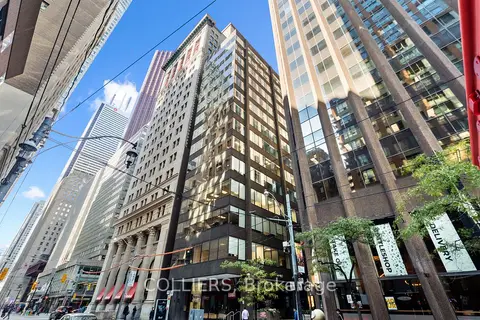
$1,500/mo
Reduced $1,000
10 King Street E 709
Church-Yonge Corridor, Toronto
Office · MLS® C12868450 · COLLIERS
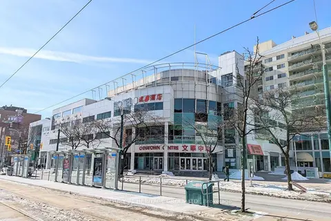
$1,500/mo
222 Spadina Avenue 271A
Kensington-Chinatown, Toronto
Commercial Retail · MLS® C13245676 · CENTURY 21 HERITAGE GROUP LTD.