190 Britannia Road E 24
Gateway, Mississauga, L4Z 2A4
$885,500
Listed 71 days ago · MLS® W13658810
About this home
Move-in ready 1,610 sq. ft. industrial end unit is located within the Employment Industrial (E2) zone, permitting a wide range of uses. The unit features a truck-level door and 16.5 ft clear height, offering functional space for various industrial or commercial operations. Strategically situated at Britannia Rd. E. and Hurontario St., the property provides exceptional access to Highways 401, 403, 410, and 407. Its prime location offers outstanding connectivity to major transportation routes and the broader GTA industrial network.
Details
- Type
- Industrial
- Lot
- 22.6 × 60 ft
- Garage
- None
- Property tax
- $3,900 (2026)
- Neighbourhood
- Gateway
- Municipality
- Mississauga
Heating, cooling and services
- Heating
- Gas Forced Air Open
- Air conditioning
- Yes
- Utilities
- Yes
Building and exterior
- Building area
- 1,610 Square Feet
More
- Possession
- Immediate/Flexible
- Cross street
- Britannia Rd E/Hurontario St
Location
Location is approximate. See nearby homes on the map
Recent sales nearby
See what similar homes within 1 km sold for in the last year. Create a free account or sign in to see them.
The neighbourhood
Getting around Somewhat walkable
- 🚇 Courtneypark LRT1.7 km
- 🚆 Streetsville GO6.6 km
Within a 10-minute walk: no grocery stores, 11 cafés and restaurants, 1 park. Nearest park: Dunton Athletic Fields (900 m).
Schools nearby
Elementary
- San Lorenzo Ruiz Elementary School Catholic
EQAO: Gr 6 reading 81%, math 53%1.7 km - Barondale Public School
EQAO: Gr 3 reading 79%, math 67%1.8 km
Secondary
- St. Francis Xavier Secondary School Catholic
EQAO: Gr 9 math 73%, literacy test 91%2.2 km - Bristol Road Middle School2.3 km
- Mississauga Secondary School
EQAO: Gr 9 math 53%, literacy test 88%2.4 km
EQAO: share of students meeting the provincial standard (2024–25). Ontario average: Gr 6 reading 86%, math 51%; Gr 9 math 55%; literacy test 83%.
Closest schools, not school zones. Check which school serves this address with the school board before relying on it.
Who lives here postal area L4Z
- Owners / renters
- 72% / 28%
- Median household income
- $100,000
- Average age
- 41
- Children under 15
- 14%
- Homes
- 28% detached, 30% high-rise
- Commute by transit
- 12%
- Population
- 37,218
Languages spoken most at home besides English: Mandarin 2.6%, Arabic 2.5%, Polish 2.2%, Vietnamese 2.2%.
Flood and conservation No mapped hazard
Not inside a mapped flood plain or regulated area.
Screening maps only. Ask the conservation authority for a property inquiry before relying on this.
Safety
Crime Severity Index for Peel Region (Mississauga/Brampton) police: 59 vs 57 for Ontario (2025).
Police-reported figures for the whole police service area, not this street. Rates use the area’s resident population.
Development nearby
No planning applications within 500 m in the last five years.
Rezoning, site plan, subdivision and condominium applications filed with the city.
Distances are approximate. Places © OpenStreetMap contributors. Neighbourhood figures: Statistics Canada, 2021 Census. School results: EQAO via Ontario Data Catalogue (Open Government Licence – Ontario). Crime Severity Index: Statistics Canada.
Living here
Commute
To Union Station (downtown Toronto): 24 km. Transit times · Driving times
Coming transit
- 🚧 Britannia Hazel McCallion LRT600 m · opening about 2029
- 🚧 Matheson Hazel McCallion LRT1.3 km · opening about 2029
- 🚧 Courtneypark Hazel McCallion LRT1.7 km · opening about 2029
Stations under construction or approved. Opening dates are the latest public estimates and often move.
Noise 2 sources nearby
- 🛣️ Highway 401300 m
- ✈️ In line with a Pearson runway5.4 km
Distances from the map, not noise measurements. Visit at rush hour to judge for yourself.
Internet High-speed
50/10 Mbps or faster available here by cable, fibre or DSL (the federal high-speed target).
From the federal broadband map. Check exact speeds and providers for the address.
Roads, rail, airports and planned stations © OpenStreetMap contributors. Internet: Innovation, Science and Economic Development Canada, National Broadband Data.
Listed by KOLT REALTY INC..
Listing information provided by PropTx Innovations Inc. and TRREB; deemed reliable but not guaranteed accurate by PropTx.
Similar homes nearby
See more in Mississauga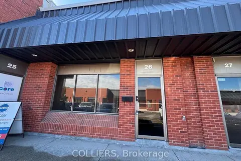
$865,700
400 Matheson Boulevard 26
Gateway, Mississauga
Industrial · MLS® W13861434 · COLLIERS
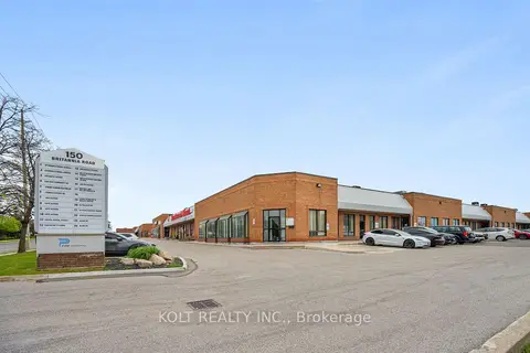
$819,900
190 Britannia Road E 9
Gateway, Mississauga
Industrial · MLS® W12937412 · KOLT REALTY INC.
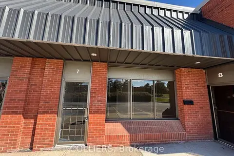
$1,039,500
400 Matheson Boulevard 7
Gateway, Mississauga
Industrial · MLS® W13861452 · COLLIERS
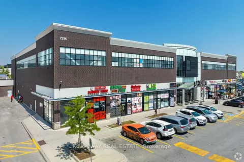
$888,000
Reduced $11,000
7215 Goreway Drive 2A10+2A11
Malton, Mississauga
Commercial Retail · MLS® W12858544 · KINGSWAY REAL ESTATE
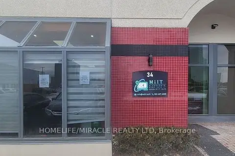
$879,000
2 ba
5160 Explorer Drive 34
Airport Corporate, Mississauga
Office · MLS® W13200216 · HOMELIFE/MIRACLE REALTY LTD
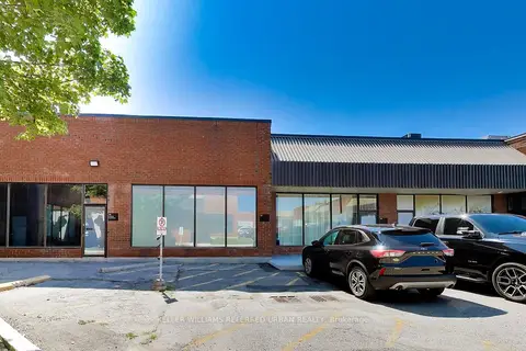
$899,999
2 ba
5359 Timberlea Boulevard 37
Northeast, Mississauga
Industrial · MLS® W13668668 · KELLER WILLIAMS REFERRED URBAN REALTY
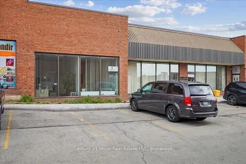
$929,900
1 ba
5359 Timberlea Boulevard 11
Northeast, Mississauga
Industrial · MLS® W13643482 · Century 21 Miller Real Estate Ltd.
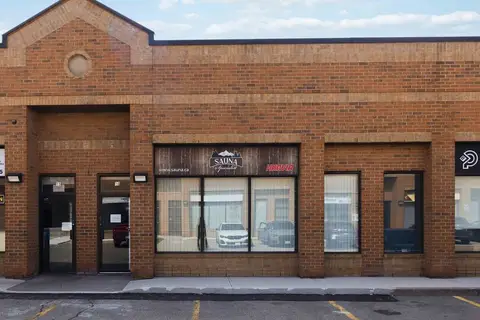
$935,000
1320 Mid-Way Boulevard 16
Northeast, Mississauga
Industrial · MLS® W13801198 · RE/MAX WEST REALTY INC.