186 Thirtieth Street
Alderwood, Toronto, M8W 3C5
$1,395,000
Reduced $180,000 from $1,575,000
Listed 57 days ago · MLS® W13706212
About this home
186 Thirtieth St. is a strategically located industrial property designed within a Core Employment Area, permitting a range of employment uses including warehouse development. Planning Status: the property has received final approval from the Toronto Local appeal Body for the construction of a warehouse building. the approval confirms that the proposed development complies with applicable planning policy and represents appropriate intensification of employment use on the site. Approved Development: Warehouse building with mezzanine/ functional rear loading configuration/site layout optimized for the lot's dimensions. Approved Variances ( Summary) Minor variances have been approved to facilitate efficient site design, including: Reduced side yard setbacks/reduced driveway and loading access width ( designed for safe one-way operation). These variances were reviewed and accepted by both the Tribunal and the City with no opposition. Key Highlights for Buyers and Developers: Fully approved development concept removes entitlement risk. Employment zoning ( E.10)supports commercial /industrial uses. Infill development opportunity in a supply-constrained employment area. Efficient building footprint maximizes usable space on the lot and City- supported planning outcome. Next steps and conditions: standard conditions remain, including landscape approval, tree permits and financial securities- typical for developments of this nature. Supporting Materials Available: TLAB Decision & Order ( March 19 2026) , Approved site plan, floor plans and elevations as well as Planning and technical reports!
Details
- Type
- Industrial
- Lot
- 50 × 134.58 ft
- Garage
- Other
- Property tax
- $3,740 (2025)
- Neighbourhood
- Alderwood
- Municipality
- Toronto W06
Heating, cooling and services
- Heating
- Gas Forced Air Open
- Air conditioning
- Yes
- Utilities
- Yes
More
- Possession
- TBD
- Cross street
- Thirtieth Street and Horner Avenue
Location
Location is approximate. See nearby homes on the map
Recent sales nearby
See what similar homes within 1 km sold for in the last year. Create a free account or sign in to see them.
The neighbourhood
Getting around Walkable
- 🚆 Long Branch GO1.5 km
Within a 10-minute walk: no grocery stores, 17 cafés and restaurants, 5 parks, 3 pharmacies. Nearest park: Laburnham Park (550 m).
Schools nearby
Elementary
- James S. Bell Junior Middle School
EQAO: Gr 6 reading 92%, math 55%16 min walk - Lanor Junior Middle School
EQAO: Gr 6 reading 93%, math 51%18 min walk - Sir Adam Beck Junior School
EQAO: Gr 3 reading 100%, math 67%19 min walk - Twentieth Street Junior School
EQAO: Gr 3 reading 69%, math 69%1.2 km
Secondary
- Lakeshore Collegiate Institute
EQAO: Gr 9 math 42%, literacy test 75%18 min walk - Father John Redmond Catholic Secondary School Catholic
EQAO: Gr 9 math 75%, literacy test 94%1.6 km
EQAO: share of students meeting the provincial standard (2024–25). Ontario average: Gr 6 reading 86%, math 51%; Gr 9 math 55%; literacy test 83%.
Closest schools, not school zones. Check which school serves this address with the school board before relying on it.
Who lives here postal area M8W
- Owners / renters
- 65% / 35%
- Median household income
- $95,000
- Average age
- 42
- Children under 15
- 15%
- Homes
- 44% detached, 17% high-rise
- Commute by transit
- 17%
- Population
- 22,381
Languages spoken most at home besides English: Polish 2.6%, Spanish 1.3%, Ukrainian 1.1%, Portuguese 1.1%.
Flood and conservation No mapped hazard
Not inside a mapped flood plain or regulated area.
Screening maps only. Ask the conservation authority for a property inquiry before relying on this.
Safety
Major crime per resident in Alderwood (2025): about the Toronto average, up 10% from the year before.
- Assault34% below average
- Break and enterabout average
- Auto theftabout average
- Robberyabout average
- Theft from vehicles37% below average
- Shootingsabout average
Crime Severity Index for Toronto police: 60 vs 57 for Ontario (2025).
Police-reported figures for the whole neighbourhood, not this street. Rates use the area’s resident population.
Development nearby
-
355 HORNER AVE · 300 mSite Plan · Closed · applied 2021Proposed one-storey addition to the north side of an existing transport warehouse. A new mezzanine area is also proposed within the building to expand the…Application details
Rezoning, site plan, subdivision and condominium applications filed with the city.
Distances are approximate. Places © OpenStreetMap contributors. Neighbourhood figures: Statistics Canada, 2021 Census. School results: EQAO via Ontario Data Catalogue (Open Government Licence – Ontario). Neighbourhood crime: Toronto Police Service Public Safety Data Portal (Open Government Licence – Toronto Police Service). Crime Severity Index: Statistics Canada. Planning applications: City of Toronto open data.
Living here
Commute
To Union Station (downtown Toronto): 13 km. Transit times · Driving times
Noise Nothing major nearby
No highway within 500 m, rail line within 300 m, or airport flight path nearby.
Distances from the map, not noise measurements. Visit at rush hour to judge for yourself.
What can be built E
Employment Industrial.
From Toronto’s Zoning By-law 569-2013 map. Lot size, setbacks and trees decide what actually fits; check with a planner before you buy.
Building permits
No building permits at this address since 2014.
7 permits on this block of the street in the last 2 years, including 1 new home.
Permits filed with the City of Toronto. A permit doesn’t mean the work passed final inspection.
Trees
33 City street trees within 100 m, mostly maples. That’s about the Toronto average of 42.
Trees on City boulevards only, not private yards or parks.
Internet High-speed
50/10 Mbps or faster available here by cable, fibre or DSL (the federal high-speed target).
From the federal broadband map. Check exact speeds and providers for the address.
Zoning, heritage, building permits and street trees: City of Toronto open data (Open Government Licence – Toronto). Roads, rail, airports and planned stations © OpenStreetMap contributors. Internet: Innovation, Science and Economic Development Canada, National Broadband Data.
Listed by iCloud Realty Ltd..
Listing information provided by PropTx Innovations Inc. and TRREB; deemed reliable but not guaranteed accurate by PropTx.
Similar homes nearby
See more in Toronto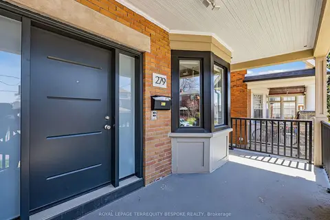
$1,395,000
279 Lauder Avenue
Oakwood Village, Toronto
Investment · MLS® C13773418 · ROYAL LEPAGE TERREQUITY BESPOKE REALTY
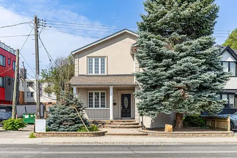
$1,395,000
8 ba
454 Donlands Avenue
East York, Toronto
Investment · MLS® E13816228 · RE/MAX REALTRON REALTY INC.
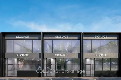
$1,398,880
777 Warden Avenue 102 & 102A
Clairlea-Birchmount, Toronto
Commercial Retail · MLS® E13618034 · COLLIERS
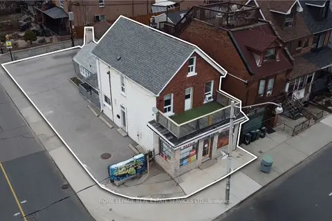
$1,399,000
5 ba
1160 Dufferin Street
Dovercourt-Wallace Emerson-Junction, Toronto
Investment · MLS® W13755630 · ROYAL LEPAGE REAL ESTATE SERVICES LTD.
$1,399,990
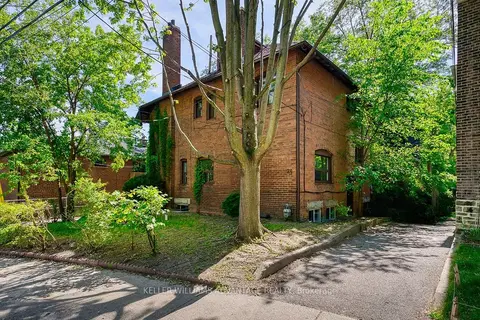
24 Indian Road Crescent
High Park North, Toronto
Investment · MLS® W13804926 · KELLER WILLIAMS ADVANTAGE REALTY
$1,399,999
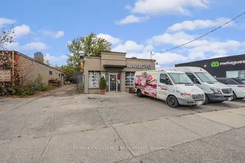
8 Six Point Road
Islington-City Centre West, Toronto
Sale Of Business · MLS® W13623296 · RE/MAX EXCELLENCE REAL ESTATE
$1,399,999
3 ba
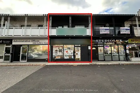
2890 Dufferin Street
Yorkdale-Glen Park, Toronto
Store W Apt/Office · MLS® W14085914 · ROYAL LEPAGE SIGNATURE REALTY
$1,390,000
Reduced $303,000
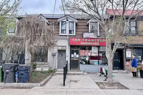
10 Clinton Street
Trinity-Bellwoods, Toronto
Investment · MLS® C13074072 · CB METROPOLITAN COMMERCIAL LTD.