185 Courtneypark Drive E 2
Gateway, Mississauga, L5T 2T6
$17/mo
Reduced $1 from $18
Listed 77 days ago · MLS® W13636414
About this home
Located within Canadian Customs Area (GTAA) for bonded warehousing. Strategically located 4-minutes from Highway 401 and Highway 410. Surrounded by strong labour force and many amenities. Quick access to Toronto Pearson Airport, as well as, Highways 401, 410 and 407. LED lighting throughout and ESFR sprinklers throughout warehouse. Transit route at doorstep.
Details
- Type
- Industrial
- Garage
- Outside/Surface
- Property tax
- $5 (2026)
- Neighbourhood
- Gateway
- Municipality
- Mississauga
Heating, cooling and services
- Heating
- Gas Forced Air Open
- Air conditioning
- Partial
- Water and sewer
- Sanitary+Storm
- Utilities
- Yes
Building and exterior
- Building area
- 48,560 Square Feet
Rental terms
- Minimum term
- 60 months
More
- Possession
- Immediate
- Cross street
- Courtneypark Dr E & Edwards Blvd
- Business type
- Warehouse
Location
Location is approximate. See nearby homes on the map
The neighbourhood
Getting around Walkable
- 🚇 Courtneypark LRT7 min walk
- 🚆 Bramalea GO6.8 km
Within a 10-minute walk: no grocery stores, 21 cafés and restaurants, 0 parks.
Schools nearby
Elementary
- École élémentaire Le Flambeau French
EQAO: Gr 6 reading 100%, math 70%2.2 km - St. Veronica Elementary School Catholic
EQAO: Gr 6 reading 83%, math 50%2.3 km
Secondary
- Mississauga Secondary School
EQAO: Gr 9 math 53%, literacy test 88%2.0 km - St. Marcellinus Secondary School Catholic
EQAO: Gr 9 math 68%, literacy test 91%2.4 km
EQAO: share of students meeting the provincial standard (2024–25). Ontario average: Gr 6 reading 86%, math 51%; Gr 9 math 55%; literacy test 83%.
Closest schools, not school zones. Check which school serves this address with the school board before relying on it.
Who lives here postal area L5T
- Population
- 19
Flood and conservation No mapped hazard
Not inside a mapped flood plain or regulated area.
Screening maps only. Ask the conservation authority for a property inquiry before relying on this.
Safety
Crime Severity Index for Peel Region (Mississauga/Brampton) police: 59 vs 57 for Ontario (2025).
Police-reported figures for the whole police service area, not this street. Rates use the area’s resident population.
Development nearby 1 active
-
6605 Hurontario Street · 350 mDevelopment application · In process · applied 2025Hotel (existing office building to remain)
Rezoning, site plan, subdivision and condominium applications filed with the city.
Distances are approximate. Places © OpenStreetMap contributors. Neighbourhood figures: Statistics Canada, 2021 Census. School results: EQAO via Ontario Data Catalogue (Open Government Licence – Ontario). Crime Severity Index: Statistics Canada. Planning applications: City of Mississauga open data.
Living here
Commute
To Union Station (downtown Toronto): 25 km. Transit times · Driving times
Coming transit
- 🚧 Courtneypark Hazel McCallion LRT400 m · opening about 2029
- 🚧 Derry Hazel McCallion LRT1.5 km · opening about 2029
- 🚧 Britannia Hazel McCallion LRT1.8 km · opening about 2029
Stations under construction or approved. Opening dates are the latest public estimates and often move.
Noise Nothing major nearby
No highway within 500 m, rail line within 300 m, or airport flight path nearby.
Distances from the map, not noise measurements. Visit at rush hour to judge for yourself.
Internet High-speed
50/10 Mbps or faster available here by cable, fibre or DSL (the federal high-speed target).
From the federal broadband map. Check exact speeds and providers for the address.
Roads, rail, airports and planned stations © OpenStreetMap contributors. Internet: Innovation, Science and Economic Development Canada, National Broadband Data.
Listed by COLLIERS.
Listing information provided by PropTx Innovations Inc. and TRREB; deemed reliable but not guaranteed accurate by PropTx.
Similar homes nearby
See more in Mississauga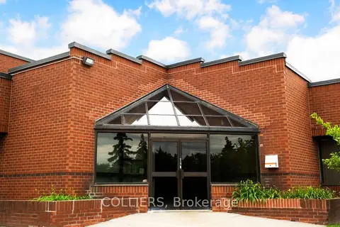
$17/mo
190 Ambassador Drive
Gateway, Mississauga
Industrial · MLS® W13573654 · COLLIERS
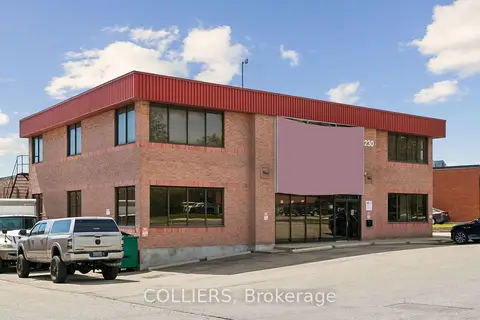
$17/mo
230 Watline Avenue 200
Gateway, Mississauga
Office · MLS® W13636730 · COLLIERS
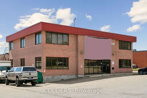
$17/mo
230 Watline Avenue 100 & 200
Gateway, Mississauga
Office · MLS® W13636732 · COLLIERS
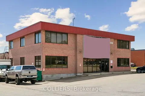
$17/mo
230 Watline Avenue 100
Gateway, Mississauga
Office · MLS® W13636734 · COLLIERS
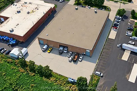
$17/mo
1 ba
#A 6199 N Danville Road N
Gateway, Mississauga
Industrial · MLS® W13837198 · RE/MAX ATRIUM HOME REALTY
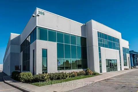
$17/mo
2 ba
205 Export Boulevard 1-3
Gateway, Mississauga
Office · MLS® W13861314 · RE/MAX WEST REALTY INC.
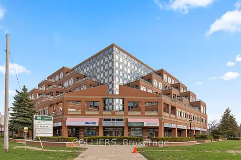
$18/mo
25 Watline Avenue 205
Gateway, Mississauga
Office · MLS® W9299147 · COLLIERS
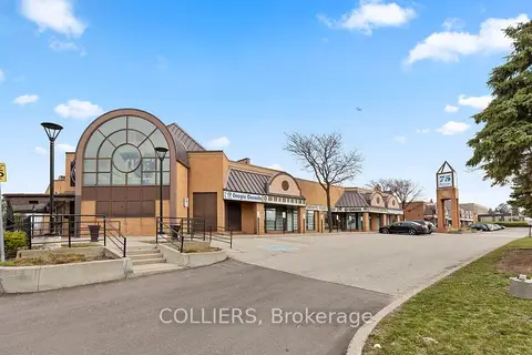
$16/mo
Reduced $3
75 Watline Avenue 140
Gateway, Mississauga
Office · MLS® W12117755 · COLLIERS