185 Bridgeland Avenue 116
Yorkdale-Glen Park, Toronto, M6A 1Z4
$20/mo
- 1 bathrooms
Listed 5 days ago · MLS® W14083562
About this home
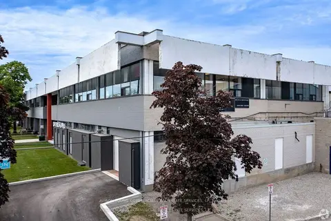
Bright, renovated office/showroom/light warehouse space with truck-level shipping. Distinctive building located near Yorkdale Mall, Hwy 401 and Dufferin, and the Furniture and Design District. Steps to TTC, major routes, and local amenities.
Details
- Type
- Industrial
- Lot
- 137 × 637 ft
- Garage
- Outside/Surface
- Property tax
- $9 (2025)
- Neighbourhood
- Yorkdale-Glen Park
- Municipality
- Toronto W04
Interior
- Bathrooms
- 1 × bathroom
Heating, cooling and services
- Heating
- Gas Forced Air Closed
- Air conditioning
- Partial
- Utilities
- Yes
Building and exterior
- Building area
- 1,360 Square Feet
Rental terms
- Minimum term
- 36 months
More
- Possession
- Speak to LA
- Cross street
- Dufferin St/Highway 401
Location
Location is approximate. See nearby homes on the map
The neighbourhood
Getting around Walkable
- 🚇 Yorkdale Subway1.5 km
- 🚇 Wilson Subway1.7 km
- 🚆 Downsview Park GO3.4 km
Within a 10-minute walk: 2 grocery stores, 43 cafés and restaurants, 2 parks, 4 pharmacies. Nearest grocery: Correct African Food Market (750 m). Nearest park: Anthony Road School Park (400 m).
Schools nearby
Elementary
- Ancaster Public School
EQAO: Gr 3 reading 53%, math 41%15 min walk - École élémentaire Mathieu-da-Costa French
EQAO: Gr 6 reading 100%, math 75%16 min walk - St. Norbert Catholic School Catholic
EQAO: Gr 6 reading 90%, math 57%17 min walk - Joyce Public School
EQAO: Gr 6 reading 85%, math 31%1.5 km
Secondary
- Yorkdale Secondary School10 min walk
- Madonna Catholic Secondary School Catholic
EQAO: Gr 9 math 39%, literacy test 82%16 min walk - Lawrence Heights Middle School1.2 km
EQAO: share of students meeting the provincial standard (2024–25). Ontario average: Gr 6 reading 86%, math 51%; Gr 9 math 55%; literacy test 83%.
Closest schools, not school zones. Check which school serves this address with the school board before relying on it.
Who lives here postal area M6A
- Owners / renters
- 41% / 59%
- Median household income
- $72,500
- Average age
- 40
- Children under 15
- 16%
- Homes
- 16% detached, 34% high-rise
- Commute by transit
- 35%
- Population
- 22,380
Languages spoken most at home besides English: Tagalog (Pilipino, Filipino) 7%, Spanish 2.5%, Portuguese 2.3%, Italian 1.8%.
Flood and conservation No mapped hazard
Not inside a mapped flood plain or regulated area.
Screening maps only. Ask the conservation authority for a property inquiry before relying on this.
Safety
Major crime per resident in Yorkdale-Glen Park (2025): 87% above the Toronto average, about the same from the year before.
- Assault58% above average
- Break and enter80% above average
- Auto theft119% above average
- Robbery87% above average
- Theft from vehicles70% above average
- Shootings249% above average
Crime Severity Index for Toronto police: 60 vs 57 for Ontario (2025).
Police-reported figures for the whole neighbourhood, not this street. Rates use the area’s resident population.
Development nearby 2 active
-
109 CARTWRIGHT AVE · 300 mSite Plan · NOAC Issued · applied 2025Site Plan Control Application proposes a 2-storey addition to an existing private educational institution building (Sterling Hall School) and associated…Application details
-
130-150 BRIDGELAND AVE · 250 mSite Plan · Under Review · applied 2023Site Plan Control application for two 2-storey automotive dealership buildings and a 4-storey above-grade parking structure. The proposed development comprises…Application details
-
109 CARTWRIGHT AVE · 300 mOfficial Plan / Zoning By-law Amendment · Closed · applied 2023Application to amend the Zoning By-law to allow a 2-storey addition to an existing private educational institution building (Sterling Hall School) and…Application details
Rezoning, site plan, subdivision and condominium applications filed with the city.
Distances are approximate. Places © OpenStreetMap contributors. Neighbourhood figures: Statistics Canada, 2021 Census. School results: EQAO via Ontario Data Catalogue (Open Government Licence – Ontario). Neighbourhood crime: Toronto Police Service Public Safety Data Portal (Open Government Licence – Toronto Police Service). Crime Severity Index: Statistics Canada. Planning applications: City of Toronto open data.
Living here
Commute
To Union Station (downtown Toronto): 11 km. Transit times · Driving times
Noise 1 source nearby
- 🛣️ Highway 401200 m
Distances from the map, not noise measurements. Visit at rush hour to judge for yourself.
Building permits
No building permits at this address since 2014.
1 permit on this block of the street in the last 2 years.
Permits filed with the City of Toronto. A permit doesn’t mean the work passed final inspection.
Trees
5 City street trees within 100 m. That’s fewer than the Toronto average of 42.
Trees on City boulevards only, not private yards or parks.
Internet High-speed
50/10 Mbps or faster available here by cable, fibre or DSL (the federal high-speed target).
From the federal broadband map. Check exact speeds and providers for the address.
Zoning, heritage, building permits and street trees: City of Toronto open data (Open Government Licence – Toronto). Roads, rail, airports and planned stations © OpenStreetMap contributors. Internet: Innovation, Science and Economic Development Canada, National Broadband Data.
Listed by AVISON YOUNG COMMERCIAL REAL ESTATE SERVICES, LP.
Listing information provided by PropTx Innovations Inc. and TRREB; deemed reliable but not guaranteed accurate by PropTx.
Similar homes nearby
See more in Toronto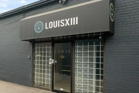
$20/mo
Reduced $2
116 Tycos Drive part of unit 2
Yorkdale-Glen Park, Toronto
Office · MLS® W12759426 · HIGH POINT REALTY LIMITED
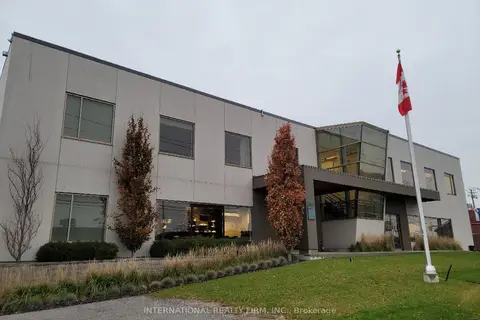
$20/mo
1245 Caledonia Road 203
Yorkdale-Glen Park, Toronto
Office · MLS® W13147530 · INTERNATIONAL REALTY FIRM, INC.
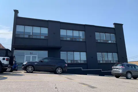
$20/mo
91 Tycos Drive 202A
Yorkdale-Glen Park, Toronto
Commercial Retail · MLS® W13662752 · AVISON YOUNG COMMERCIAL REAL ESTATE SERVICES, LP
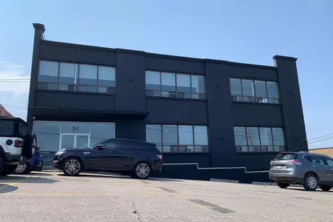
$20/mo
91 Tycos Drive 202A
Yorkdale-Glen Park, Toronto
Office · MLS® W13662754 · AVISON YOUNG COMMERCIAL REAL ESTATE SERVICES, LP
$20/mo
75 Dufflaw Road 203A
Yorkdale-Glen Park, Toronto
Office · MLS® W13796550 · AVISON YOUNG COMMERCIAL REAL ESTATE SERVICES, LP
$19/mo
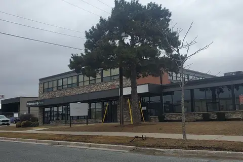
54 Samor Road 1
Yorkdale-Glen Park, Toronto
Office · MLS® W12935548 · RE/MAX PREMIER INC.
$19/mo
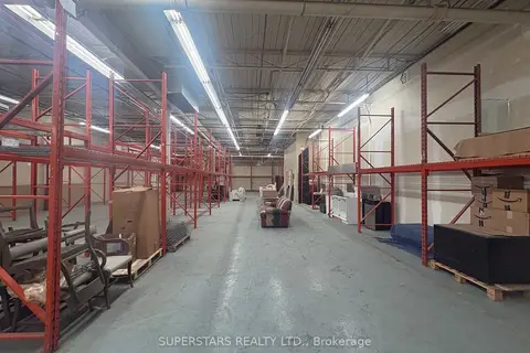
87 Wingold Avenue
Yorkdale-Glen Park, Toronto
Industrial · MLS® W13430864 · SUPERSTARS REALTY LTD.
$21/mo
1 ba
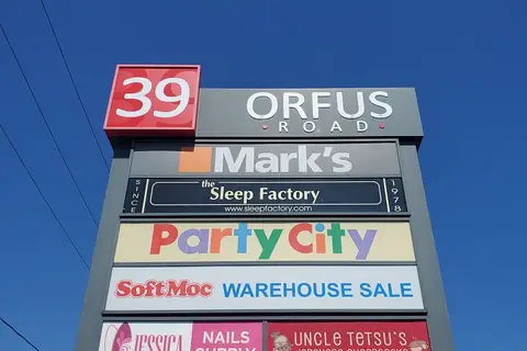
39 Orfus Road B2
Yorkdale-Glen Park, Toronto
Commercial Retail · MLS® W13640198 · RE/MAX PREMIER INC.