18 Automatic Road 5 & 6
Gore Industrial North, Brampton, L6S 5N5
$19/mo
- 2 bathrooms
Listed 88 days ago · MLS® W13602362
About this home
Grow Your Business In This Exceptional Industrial Unit That Has Just Been 1.4 km from major shopping area with Walmart Supercentre, Home Depot, Canadian Tire, Best Buy, Staples, and a plethora of fast food restaurants. Convenient highway access to 407, 410, and 427 as well as Airport Rd, Queen St, Williams Pkwy, Humberwest Pkwy, and Mayfield Rd. 2 Dock-level rolling door 1 Bigger size and 1 regular size and 2 ground-level swing door at the back with enough space to accommodate 53' trucks. 18'5" clear height allows installing heavy machinery or high shelving. Generous number of parking spaces for visitors including immediately in front of the unit. High-speed internet access is available. The unit also has 2 washroom .Show with confidence.
Details
- Type
- Industrial
- Lot
- 50 × 90 ft
- Garage
- Plaza
- Property tax
- $8 (2025)
- Neighbourhood
- Gore Industrial North
- Municipality
- Brampton
Interior
- Bathrooms
- 2 × bathroom
Heating, cooling and services
- Heating
- Gas Forced Air Closed
- Air conditioning
- Yes
- Utilities
- Yes
Building and exterior
- Building area
- 4,400 Square Feet
Rental terms
- Minimum term
- 12 months
More
- Possession
- Flexible
- Cross street
- Airport Rd & Williams Pkwy
- Business type
- Warehouse
History of this address
1 earlier listing at this address, with sold and leased prices. Create a free account or sign in to see them.
Location
Location is approximate. See nearby homes on the map
The neighbourhood
Getting around Walkable
- 🚆 Bramalea GO Station6.4 km
Within a 10-minute walk: 3 grocery stores, 8 cafés and restaurants, 1 park. Nearest grocery: Singh Farm (450 m). Nearest park: Bottomwood Park (700 m).
Schools nearby
Elementary
- Fairlawn Elementary Public School
EQAO: Gr 6 reading 88%, math 40%1.5 km - Father Clair Tipping School Catholic
EQAO: Gr 6 reading 90%, math 70%1.7 km - Robert J. Lee Public School
EQAO: Gr 6 reading 85%, math 27%1.9 km - Red Willow Public School
EQAO: Gr 3 reading 94%, math 90%2.0 km
Secondary
- St. Thomas Aquinas Secondary School Catholic
EQAO: Gr 9 math 47%, literacy test 70%2.1 km - Greenbriar Senior Public School2.3 km
- Calderstone Middle School2.4 km
EQAO: share of students meeting the provincial standard (2024–25). Ontario average: Gr 6 reading 86%, math 51%; Gr 9 math 55%; literacy test 83%.
Closest schools, not school zones. Check which school serves this address with the school board before relying on it.
Who lives here postal area L6S
- Owners / renters
- 82% / 18%
- Median household income
- $105,000
- Average age
- 40
- Children under 15
- 16%
- Homes
- 53% detached, 9% high-rise
- Commute by transit
- 9%
- Population
- 54,361
Languages spoken most at home besides English: Punjabi (Panjabi) 10.8%, Spanish 1.9%, Urdu 1.8%, Tagalog (Pilipino, Filipino) 1.4%.
Flood and conservation No mapped hazard
Not inside a mapped flood plain or regulated area.
Screening maps only. Ask the conservation authority for a property inquiry before relying on this.
Safety
Crime Severity Index for Peel Region (Mississauga/Brampton) police: 59 vs 57 for Ontario (2025).
Police-reported figures for the whole police service area, not this street. Rates use the area’s resident population.
Development nearby 1 active
-
6 AUTOMATIC RD · 400 mSite Plan Approval · Agreement Execution · applied 2020Basic Site Plan
-
9916 AIRPORT RD · 500 mSite Plan Approval · Site Plan Approved · applied 2026Minor Site Plan Revision
-
SPA-2022-0028 · 400 mSite Plan Approval · Site Plan Approved · applied 2022Limited Site Plan
Rezoning, site plan, subdivision and condominium applications filed with the city.
Distances are approximate. Places © OpenStreetMap contributors. Neighbourhood figures: Statistics Canada, 2021 Census. School results: EQAO via Ontario Data Catalogue (Open Government Licence – Ontario). Crime Severity Index: Statistics Canada. Planning applications: City of Brampton open data.
Living here
Commute
To Union Station (downtown Toronto): 30 km. Transit times · Driving times
Noise Nothing major nearby
No highway within 500 m, rail line within 300 m, or airport flight path nearby.
Distances from the map, not noise measurements. Visit at rush hour to judge for yourself.
Internet High-speed
50/10 Mbps or faster available here by cable, fibre or DSL (the federal high-speed target).
From the federal broadband map. Check exact speeds and providers for the address.
Roads, rail, airports and planned stations © OpenStreetMap contributors. Internet: Innovation, Science and Economic Development Canada, National Broadband Data.
Listed by CENTURY 21 PEOPLE`S CHOICE REALTY INC..
Listing information provided by PropTx Innovations Inc. and TRREB; deemed reliable but not guaranteed accurate by PropTx.
Similar homes nearby
See more in Brampton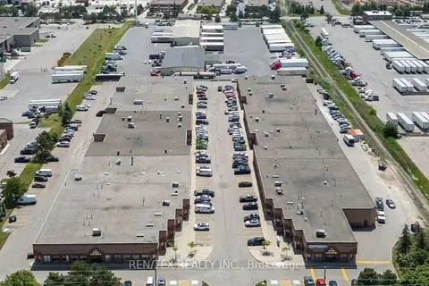
$18/mo
2053 Williams Parkway 41
Gore Industrial North, Brampton
Industrial · MLS® W13727456 · REN/TEX REALTY INC.
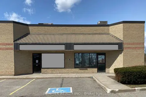
$18/mo
2500 Williams Parkway E 8-9
Gore Industrial North, Brampton
Industrial · MLS® W13853680 · REN/TEX REALTY INC.
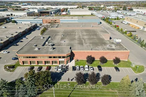
$15/mo
Reduced $1
2150 Williams Parkway
Gore Industrial North, Brampton
Industrial · MLS® W12514652 · COLLIERS
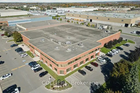
$15/mo
2150 Williams Parkway Unit 1
Gore Industrial North, Brampton
Industrial · MLS® W13155698 · COLLIERS
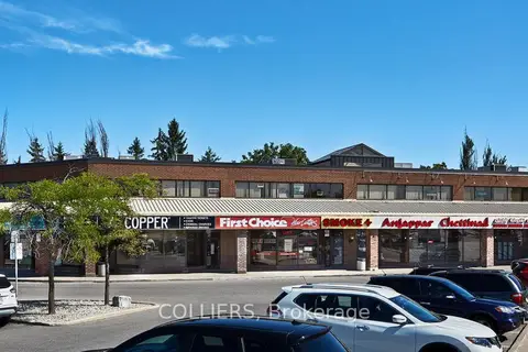
$19/mo
1 Bartley Bull Parkway 16
Brampton East, Brampton
Office · MLS® W11986105 · COLLIERS
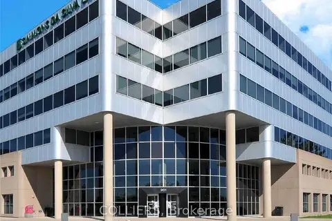
$19/mo
201 County Court Boulevard 505
Fletcher's Creek South, Brampton
Office · MLS® W12273170 · COLLIERS
$19/mo
201 County Court Boulevard 401
Fletcher's Creek South, Brampton
Office · MLS® W12340333 · COLLIERS
$19/mo
201 County Court Boulevard 602
Fletcher's Creek South, Brampton
Office · MLS® W12486235 · COLLIERS