175 Galaxy Boulevard 200A
West Humber-Clairville, Toronto, M9W 0C8
$20/mo
Listed 377 days ago · MLS® W12451344
About this home
Galaxy Airport Centre Gives The Term "Flexibility" Ultimate Meaning. Leed Silver Certified. Highly Efficient Floor Plans, Divisible. Layouts Optimum For Traditional Office Design Or Modern Work Environments. 13' Open Concept Ceiling Or 10' Traditional T-Bar Ceiling. Large Windows Bring In Plenty Of Natural Light. Compact Core Provides For Efficient And Innovative Design Possibilities. Free Surface Parking Ratio Of 3.7 Spaces Per 1,000 Sf Leased with EV Charging stations. Excellent landscaping and superb views of the adjacent golf course. Strategically Located In An Uncongested Node Minutes From Toronto Pearson International Airport. There Is Immediate Access To Highways 401 West, 401 East & 427 South, just a few Blocks Away From The Building.
Details
- Type
- Office
- Garage
- Outside/Surface
- Property tax
- $14 (2026)
- Neighbourhood
- West Humber-Clairville
- Municipality
- Toronto W10
Heating, cooling and services
- Heating
- Gas Forced Air Closed
- Air conditioning
- Yes
- Water and sewer
- Sanitary+Storm
- Utilities
- Available
Building and exterior
- Building area
- 3,787 Square Feet
Rental terms
- Minimum term
- 60 months
More
- Possession
- Immediate
- Cross street
- International Blvd/Galaxy Blvd
- Business type
- Professional Office
Location
Location is approximate. See nearby homes on the map
The neighbourhood
Getting around Car-dependent
- 🚇 Toronto Pearson Terminal 1 UP Express2.4 km
- 🚆 Terminal 1 GO2.4 km
Within a 10-minute walk: no grocery stores, 3 cafés and restaurants, 1 park. Nearest park: Willowridge Park (950 m).
Schools nearby
Elementary
- Parkfield Junior School
EQAO: Gr 3 reading 74%, math 64%1.2 km - Briarcrest Junior School
EQAO: Gr 3 reading 92%, math 75%1.3 km - Mother Cabrini Catholic School Catholic
EQAO: Gr 6 reading 100%1.6 km - École élémentaire catholique Notre-Dame-de-Grâce French
EQAO: Gr 6 reading 96%, math 79%2.0 km
Secondary
- Kipling Collegiate Institute
EQAO: Gr 9 math 20%, literacy test 71%1.8 km - Martingrove Collegiate Institute
EQAO: Gr 9 math 58%, literacy test 83%2.0 km - Michael Power/St. Joseph High School Catholic
EQAO: Gr 9 math 68%, literacy test 87%2.2 km
EQAO: share of students meeting the provincial standard (2024–25). Ontario average: Gr 6 reading 86%, math 51%; Gr 9 math 55%; literacy test 83%.
Closest schools, not school zones. Check which school serves this address with the school board before relying on it.
Who lives here postal area M9W
- Owners / renters
- 58% / 42%
- Median household income
- $85,000
- Average age
- 41
- Children under 15
- 15%
- Homes
- 37% detached, 32% high-rise
- Commute by transit
- 22%
- Population
- 40,977
Languages spoken most at home besides English: Punjabi (Panjabi) 6.8%, Spanish 3.2%, Gujarati 2.4%, Tagalog (Pilipino, Filipino) 1.5%.
Flood and conservation Regulated area
This address is inside a conservation-authority regulated area (Toronto and Region Conservation Authority): near a valley, stream, shoreline or wetland, where flooding or erosion can occur. New building, additions, pools or grading usually need a permit from the authority.
Screening maps only. Ask the conservation authority for a property inquiry before relying on this.
Safety
Major crime per resident in West Humber-Clairville (2025): 127% above the Toronto average, down 14% from the year before.
- Assault22% above average
- Break and enter83% above average
- Auto theft486% above average
- Robbery94% above average
- Theft from vehicles158% above average
- Shootings228% above average
Crime Severity Index for Toronto police: 60 vs 57 for Ontario (2025).
Police-reported figures for the whole neighbourhood, not this street. Rates use the area’s resident population.
Development nearby 1 active
-
161 SKYWAY AVE · 400 mPart Lot Control · Under Review · applied 2019Telecom tower for Bell Mobility.Application details
Rezoning, site plan, subdivision and condominium applications filed with the city.
Distances are approximate. Places © OpenStreetMap contributors. Neighbourhood figures: Statistics Canada, 2021 Census. School results: EQAO via Ontario Data Catalogue (Open Government Licence – Ontario). Flood and regulation mapping: Toronto and Region Conservation Authority open data. Neighbourhood crime: Toronto Police Service Public Safety Data Portal (Open Government Licence – Toronto Police Service). Crime Severity Index: Statistics Canada. Planning applications: City of Toronto open data.
Living here
Commute
To Union Station (downtown Toronto): 17 km. Transit times · Driving times
Noise 1 source nearby
- 🛣️ Highway 27450 m
Distances from the map, not noise measurements. Visit at rush hour to judge for yourself.
Building permits
- Interior Alterations · 2024 · ClosedExisting tenant space reduced by 479.6 sm (new demising linear wall 12.1 m approx.
- Interior Alterations · 2023 · CancelledInterior Alterations including addition of new partitions and doors, removal /reinstallation of the reflected ceiling in selected areas,…
- Interior Alterations · 2015 · ClosedRevision #1: Interior alterations to ground floor for IBI office.(first time occupancy) Also changes to demising wall and remove storage…
- Interior Alterations · 2014 · ClosedBuilding A interior alterations on 2nd floor to create Puma Office space.
1 permit on this block of the street in the last 2 years.
Permits filed with the City of Toronto. A permit doesn’t mean the work passed final inspection.
Trees
35 City street trees within 100 m. That’s about the Toronto average of 42.
Trees on City boulevards only, not private yards or parks.
Internet High-speed
50/10 Mbps or faster available here by cable, fibre or DSL (the federal high-speed target).
From the federal broadband map. Check exact speeds and providers for the address.
Zoning, heritage, building permits and street trees: City of Toronto open data (Open Government Licence – Toronto). Roads, rail, airports and planned stations © OpenStreetMap contributors. Internet: Innovation, Science and Economic Development Canada, National Broadband Data.
Listed by AVISON YOUNG COMMERCIAL REAL ESTATE SERVICES, LP.
Listing information provided by PropTx Innovations Inc. and TRREB; deemed reliable but not guaranteed accurate by PropTx.
Similar homes nearby
See more in Toronto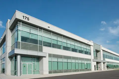
$20/mo
175 Galaxy Boulevard 200B
West Humber-Clairville, Toronto
Office · MLS® W12451380 · AVISON YOUNG COMMERCIAL REAL ESTATE SERVICES, LP
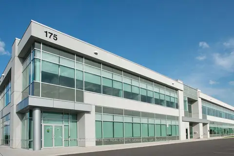
$20/mo
175 Galaxy Boulevard 200
West Humber-Clairville, Toronto
Office · MLS® W12451402 · AVISON YOUNG COMMERCIAL REAL ESTATE SERVICES, LP
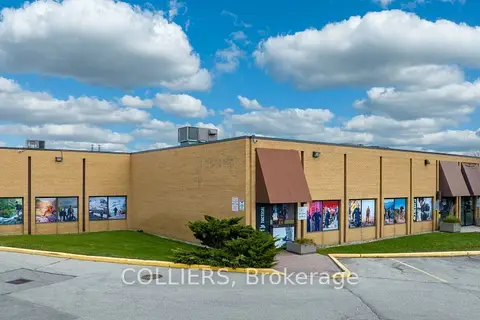
$20/mo
215 Carlingview Drive 109
West Humber-Clairville, Toronto
Commercial Retail · MLS® W12521080 · COLLIERS
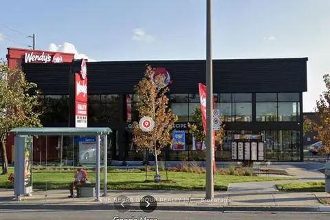
$20/mo
1839 Albion Road Second Floor
West Humber-Clairville, Toronto
Office · MLS® W13412482 · THE BEHAR GROUP REALTY INC.
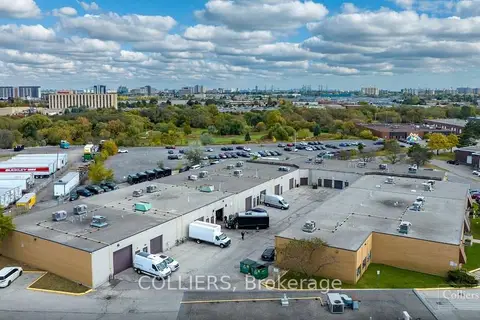
$20/mo
215 Carlingview Drive 110
West Humber-Clairville, Toronto
Commercial Retail · MLS® W13779056 · COLLIERS
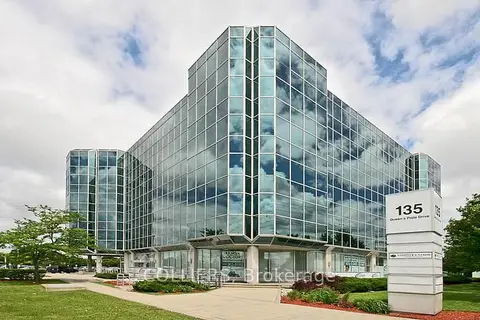
$19/mo
135 Queens Plate Drive 300A
West Humber-Clairville, Toronto
Office · MLS® W12716474 · COLLIERS
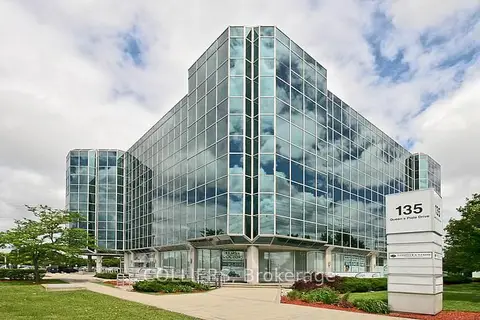
$19/mo
135 Queens Plate Drive 300
West Humber-Clairville, Toronto
Office · MLS® W12716480 · COLLIERS
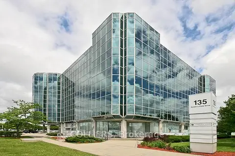
$19/mo
135 Queens Plate Drive 300C
West Humber-Clairville, Toronto
Office · MLS® W12716486 · COLLIERS