170 West Beaver Creek Road 1-2
Beaver Creek Business Park, Richmond Hill, L4B 1L6
$2,998,000
- 2 bathrooms
Listed 134 days ago · MLS® N13415836
About this home
Opportunity awaits at a prime location, an excellent space for a showroom or wholesaler with great exposure from the road and easy access to 404, HWY 7 and HWY 407. Full of natural lights from windows facing South, East and North. These are 2 separate units with separate deeds. Unit 1-2224 SF, Unit 2-2200 SF plus a 376 SF mezzanine. Units are connected with 2 large openings and can easily be converted back to separate units. Custom designed mezzanine with spiral staircase and glass railings overlooking the showroom. 4 offices, 2 of which includes custom desks/counters. Working staff kitchen with SS Fridge, B/I microwave, sink and dishwasher. Newer His & Her washrooms with Toto wall -hung toilets. Clean warehouse space with epoxy floor, large SS utility sink. Should anyone wish to establish or continue with a "Kitchen and bathroom Showroom", this location is already set up for it.
Details
- Type
- Industrial
- Garage
- None
- Property tax
- $18,967 (2026)
- Neighbourhood
- Beaver Creek Business Park
- Municipality
- Richmond Hill
Interior
- Bathrooms
- 2 × bathroom
Heating, cooling and services
- Heating
- Gas Forced Air Closed
- Air conditioning
- Yes
- Utilities
- Yes
Building and exterior
- Building area
- 4,424 Square Feet
More
- Possession
- immediate
- Cross street
- Leslie and HWY 7
Location
Location is approximate. See nearby homes on the map
Recent sales nearby
See what similar homes within 1 km sold for in the last year. Create a free account or sign in to see them.
The neighbourhood
Getting around Walkable
- 🚆 Langstaff GO2.9 km
Within a 10-minute walk: no grocery stores, 58 cafés and restaurants, 4 parks, 3 pharmacies. Nearest park: Red Oak Parkette (350 m).
Schools nearby
Elementary
- Doncrest Public School
EQAO: Gr 6 reading 92%, math 59%15 min walk - Adrienne Clarkson Public School
EQAO: Gr 6 reading 100%, math 93%16 min walk - Christ the King Catholic Elementary School Catholic
EQAO: Gr 6 reading 96%, math 85%1.3 km - Willowbrook Public School
EQAO: Gr 6 reading 91%, math 69%2.2 km
Secondary
- Westfield Secondary School Private18 min walk
- St. Robert Catholic High School Catholic
EQAO: Gr 9 math 92%, literacy test 96%1.6 km - Thornlea Secondary School
EQAO: Gr 9 math 78%, literacy test 90%2.2 km
EQAO: share of students meeting the provincial standard (2024–25). Ontario average: Gr 6 reading 86%, math 51%; Gr 9 math 55%; literacy test 83%.
Closest schools, not school zones. Check which school serves this address with the school board before relying on it.
Who lives here postal area L4B
- Owners / renters
- 80% / 20%
- Median household income
- $97,000
- Average age
- 44
- Children under 15
- 13%
- Homes
- 47% detached, 33% high-rise
- Commute by transit
- 8%
- Population
- 36,080
Languages spoken most at home besides English: Yue (Cantonese) 16.9%, Mandarin 13.7%, Iranian Persian 6.1%, Korean 2.3%.
Flood and conservation No mapped hazard
Not inside a mapped flood plain or regulated area.
Screening maps only. Ask the conservation authority for a property inquiry before relying on this.
Safety
Crime Severity Index for York Region police: 50 vs 57 for Ontario (2025).
Police-reported figures for the whole police service area, not this street. Rates use the area’s resident population.
Distances are approximate. Places © OpenStreetMap contributors. Neighbourhood figures: Statistics Canada, 2021 Census. School results: EQAO via Ontario Data Catalogue (Open Government Licence – Ontario). Crime Severity Index: Statistics Canada.
Living here
Commute
To Union Station (downtown Toronto): 22 km. Transit times · Driving times
Noise Nothing major nearby
No highway within 500 m, rail line within 300 m, or airport flight path nearby.
Distances from the map, not noise measurements. Visit at rush hour to judge for yourself.
Internet High-speed
50/10 Mbps or faster available here by cable, fibre or DSL (the federal high-speed target).
From the federal broadband map. Check exact speeds and providers for the address.
Roads, rail, airports and planned stations © OpenStreetMap contributors. Internet: Innovation, Science and Economic Development Canada, National Broadband Data.
Listed by RIGHT AT HOME REALTY.
Listing information provided by PropTx Innovations Inc. and TRREB; deemed reliable but not guaranteed accurate by PropTx.
Similar homes nearby
See more in Richmond Hill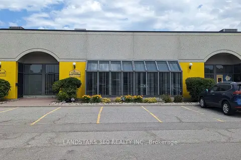
$3,488,000
2 ba
100 West Beaver Creek Road 14-15
Beaver Creek Business Park, Richmond Hill
Industrial · MLS® N12940600 · LANDSTARS 360 REALTY INC.
$2,750,000
186 KING Road
Oak Ridges, Richmond Hill
Office · MLS® N13833212 · LUXURY HOME REALTY INC.
$2,699,900
Reduced $100,000
10152 Yonge Street
Mill Pond, Richmond Hill
Store W Apt/Office · MLS® N13511432 · RE/MAX ULTIMATE REALTY INC.
$2,689,900
Reduced $100,000
10119 Yonge Street
Crosby, Richmond Hill
Store W Apt/Office · MLS® N13511434 · RE/MAX ULTIMATE REALTY INC.
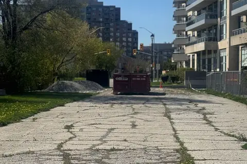
$2,500,000
0 16TH Avenue PIN#031092447
Langstaff, Richmond Hill
Land · MLS® N13825158 · CENTURY 21 HERITAGE GROUP LTD.
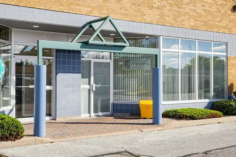
$2,495,000
3 ba
561 Edward Avenue 7
Devonsleigh, Richmond Hill
Sale Of Business · MLS® N13702232 · REMAX YOUR COMMUNITY REALTY
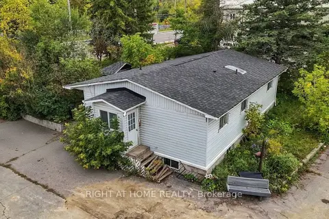
$2,425,000
198 King Road
Oak Ridges, Richmond Hill
Commercial Retail · MLS® N13877428 · RIGHT AT HOME REALTY
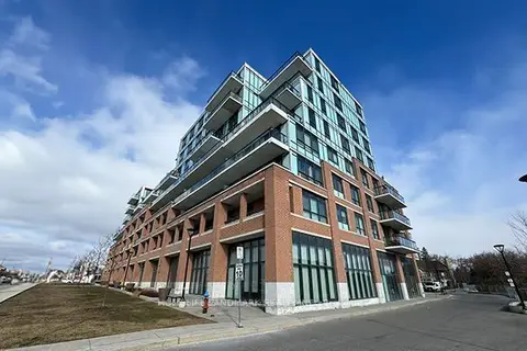 New
$2,399,999
11611 Yonge Street 9-11
Jefferson, Richmond Hill
Commercial Retail · MLS® N14098960 · HOMELIFE LANDMARK REALTY INC.