161 William Duncan Road 8
Downsview-Roding-CFB, Toronto, M3K 0B9
$599,000
- 2 bedrooms
- 2 bathrooms
- 1 parking
- 1000-1199 sq ft
Listed 33 days ago · MLS® W13796250
About this home
Modern & Stylish, two story Stacked townhouse . Over 1100 Sq Feet of living area, 2 bedrooms + 2 Washrooms Freshly painted. New flooring on main level and staircase. One owned surface parking, Private roof-top terrace with awesome view. Walk-out to a balcony on main level, Upper level bedrooms provide excellent privacy ** Short walking distance to a world-class Downsview park ** Commute is super-easy - A shuttle bus for residents provides transit to York Mills station with easy access to Downsview station, Go transit and nearby amenities** Priced to sell **
Details
- Type
- Condo Townhouse
- Style
- Stacked Townhouse
- Size
- 1000-1199 sq ft
- Basement
- None
- Garage
- None
- Kitchens
- 1
- Property tax
- $2,962 (2026)
- Maintenance fee
- $307/month
- Neighbourhood
- Downsview-Roding-CFB
- Municipality
- Toronto W05
- Price per sq ft
- $545 (10% below condo townhouses in Downsview-Roding-CFB, $605)
Interior
- Bedrooms
- 2 above ground
- Bathrooms
- 1 × 3-piece (second), 1 × 2-piece (main)
- Rooms
- 5 above ground
- Family room or den
- No
- Fireplace
- No
- Laundry
- Ensuite
- Features
- ERV/HRV
Heating, cooling and services
- Heating
- Forced Air, Gas
- Air conditioning
- Central Air
Building and exterior
- Style
- Stacked Townhouse
- Exterior
- Brick
- Outdoor
- Deck, Patio
Parking
- Total parking
- 1
- Driveway and parking
- Surface
Condo
- Monthly fee
- $307
- Fee includes
- Common Elements Included
- Balcony
- Open
- Exposure
- South
- Pets
- Yes-with Restrictions
- Property manager
- ICC property Management
More
- Possession
- Flexible
- Cross street
- Sheppard/Keele/401
History of this address
2 earlier listings at this address, with sold and leased prices. Create a free account or sign in to see them.
Location
Location is approximate. See nearby homes on the map
Recent sales nearby
See what similar homes within 1 km sold for in the last year. Create a free account or sign in to see them.
The neighbourhood
Getting around Very walkable
- 🚇 Sheppard West Subway1.9 km
- 🚇 Downsview Park Subway2.0 km
- 🚆 Downsview Park GO2.0 km
Within a 10-minute walk: 3 grocery stores, 17 cafés and restaurants, 4 parks, 3 pharmacies. Nearest grocery: Selam Convenience and Grocery Store (700 m). Nearest park: Stanley Greene Park (200 m).
Schools nearby
Elementary
- Downsview Public School11 min walk
- Ancaster Public School
EQAO: Gr 3 reading 53%, math 41%12 min walk - Blaydon Public School
EQAO: Gr 3 reading 45%, math 45%14 min walk - St. Norbert Catholic School Catholic
EQAO: Gr 6 reading 90%, math 57%14 min walk
Secondary
- Downsview Secondary School
EQAO: Gr 9 math 26%, literacy test 59%9 min walk - Madonna Catholic Secondary School Catholic
EQAO: Gr 9 math 39%, literacy test 82%11 min walk - Pierre Laporte Middle School1.8 km
EQAO: share of students meeting the provincial standard (2024–25). Ontario average: Gr 6 reading 86%, math 51%; Gr 9 math 55%; literacy test 83%.
Closest schools, not school zones. Check which school serves this address with the school board before relying on it.
Who lives here postal area M3K
- Owners / renters
- 59% / 41%
- Median household income
- $88,000
- Average age
- 40
- Children under 15
- 15%
- Homes
- 47% detached, 1% high-rise
- Commute by transit
- 27%
- Population
- 7,865
Languages spoken most at home besides English: Tagalog (Pilipino, Filipino) 6%, Italian 5.9%, Spanish 4%, Portuguese 2.1%.
Flood and conservation No mapped hazard
Not inside a mapped flood plain or regulated area.
Screening maps only. Ask the conservation authority for a property inquiry before relying on this.
Safety
Major crime per resident in Downsview (2025): about the Toronto average, about the same from the year before.
- Assaultabout average
- Break and enterabout average
- Auto theft48% above average
- Robbery60% above average
- Theft from vehiclesabout average
- Shootingsabout average
Crime Severity Index for Toronto police: 60 vs 57 for Ontario (2025).
Police-reported figures for the whole neighbourhood, not this street. Rates use the area’s resident population.
Development nearby 4 active
-
123 GARRATT BLVD · 400 mOfficial Plan / Zoning By-law Amendment · Under Review · applied 2026Removal of the holding symbol "(H)" applied by Zoning By-law 707-2024. The proposed development consists of a temporary sports facility comprising of an open…Application details
-
123 GARRATT BLVD · 400 mOfficial Plan / Zoning By-law Amendment · Council Approved · applied 2022District plan, zoning by-law amendment and draft plan of subdivision applications for Taxiway District, which comprises 40.7 hectares (100.7 acres) of land…Application details
-
123 GARRATT BLVD · 400 mPlan of Subdivision · Draft Plan Approved · applied 2022Draft Plan of Subdivision for 15 lotsApplication details
-
123 GARRATT BLVD · 400 mOfficial Plan / Zoning By-law Amendment · OMB Appeal · applied 2021The City of Toronto adopted Official Plan Amendment 716 (Downsview Secondary Plan) on June 27, 2024. A statutory public meeting was held at the Planning and…Application details
Rezoning, site plan, subdivision and condominium applications filed with the city.
Distances are approximate. Places © OpenStreetMap contributors. Neighbourhood figures: Statistics Canada, 2021 Census. School results: EQAO via Ontario Data Catalogue (Open Government Licence – Ontario). Neighbourhood crime: Toronto Police Service Public Safety Data Portal (Open Government Licence – Toronto Police Service). Crime Severity Index: Statistics Canada. Planning applications: City of Toronto open data.
Living here
Commute
To Union Station (downtown Toronto): 13 km. Transit times · Driving times
Noise 1 source nearby
- 🚆 Rail line (Newmarket Subdivision)50 m
Distances from the map, not noise measurements. Visit at rush hour to judge for yourself.
Building permits
- New Building · 2017 · ClosedMODEL NAME "DPST01"
- New Building · 2017 · ClosedMODEL NAME "DPST02"
- New Building · 2017 · ClosedMODEL NAME "DPST03"
- New Building · 2017 · ClosedMODEL NAME "DPST04"
- New Building · 2017 · ClosedMODEL NAME "DPST01"
8 permits on this block of the street in the last 2 years.
Permits filed with the City of Toronto. A permit doesn’t mean the work passed final inspection.
Trees
7 City street trees within 100 m, mostly elms. That’s fewer than the Toronto average of 42.
Trees on City boulevards only, not private yards or parks.
Internet High-speed
50/10 Mbps or faster available here by cable, fibre or DSL (the federal high-speed target).
From the federal broadband map. Check exact speeds and providers for the address.
Short-term rentals
Only in your principal residence (where you live). The entire home can be rented up to 180 nights a year; renting up to 3 bedrooms while you live there has no limit. Hosts register with the City and collect the 6% accommodation tax.
Zoning, heritage, building permits and street trees: City of Toronto open data (Open Government Licence – Toronto). Roads, rail, airports and planned stations © OpenStreetMap contributors. Internet: Innovation, Science and Economic Development Canada, National Broadband Data.
Listed by HOMELIFE/MIRACLE REALTY LTD.
Listing information provided by PropTx Innovations Inc. and TRREB; deemed reliable but not guaranteed accurate by PropTx.
Similar homes nearby
See more in Toronto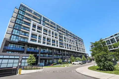
$599,000
2 bd2 ba1 pk700-799 ft²
50 George Butchart Drive 906
Downsview-Roding-CFB, Toronto
Condo Apartment · MLS® W14083494 · RE/MAX ULTIMATE REALTY INC.
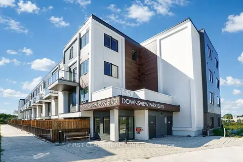
$599,900
Reduced $120,000
3 bd3 ba1 pk900-999 ft²
155 Downsview Park Boulevard 209
Downsview-Roding-CFB, Toronto
Condo Townhouse · MLS® W13752696 · FIRST CLASS REALTY INC.
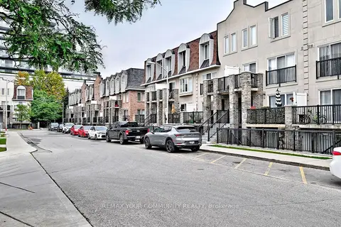
$589,000
2+1 bd2 ba1 pk900-999 ft²
115 George Appleton Way 1047
Downsview-Roding-CFB, Toronto
Condo Townhouse · MLS® W13764054 · REMAX YOUR COMMUNITY REALTY
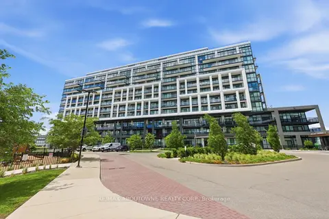
$589,000
2 bd2 ba1 pk700-799 ft²
50 George Butchart Drive 814
Downsview-Roding-CFB, Toronto
Condo Apartment · MLS® W13825404 · RE/MAX ABOUTOWNE REALTY CORP.
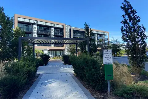
$579,999
2 bd2 ba1 pk700-799 ft²
50 George Butchart Drive 120
Downsview-Roding-CFB, Toronto
Condo Apartment · MLS® W13821682 · HOMELIFE BROADWAY REALTY INC.
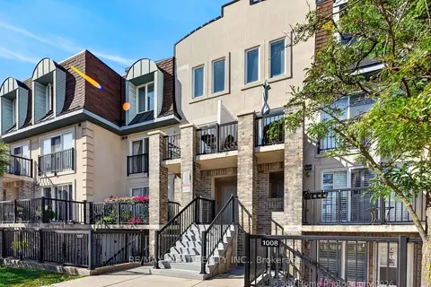
$619,900
Reduced $30,000
3 bd3 ba1 pk1200-1399 ft²
125 George Appleton Way 2020
Downsview-Roding-CFB, Toronto
Condo Townhouse · MLS® W13757546 · RE/MAX WEST REALTY INC.
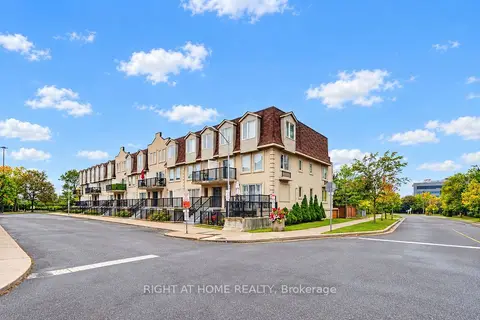
$620,000
3 bd3 ba1 pk1000-1199 ft²
55 George Appleton Way 2095
Downsview-Roding-CFB, Toronto
Condo Townhouse · MLS® W13853086 · RIGHT AT HOME REALTY
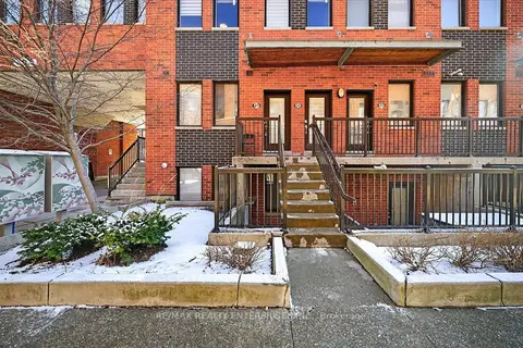
$575,000
2 bd3 ba1 pk1000-1199 ft²
871 Wilson Avenue 21
Downsview-Roding-CFB, Toronto
Condo Townhouse · MLS® W13816622 · RE/MAX REALTY ENTERPRISES INC.