158 Augusta Avenue
Kensington-Chinatown, Toronto, M5T 2L5
$3,988,000
Listed 19 days ago · MLS® C13848118
About this home
Excellent opportunity for investor or owner-occupier. Located within historic Kensington Market, a busy commercial area that has long been an iconic shopping, foodie, hangout and tourist destination. Kensington Market is one of Toronto's most vibrant neighbourhoods, and a centre of Toronto's cultural life. Subject property is a corner lot, 2-storey commercial building of 6,464 sq. ft. with rarely-found 4 surface parking spaces. The main floor is owner-occupied as a well-established hardware store while the 2nd floor is leased as an arcade entertainment venue called "Midnight Arcade". Hardware store can stay or vacate. CAC & heating are available to the 2nd floor. Size does not include high & dry basement. Significant potential for expansion with unused lot area. Very high foot traffic within a walkable community. Within walking distance to Chinatown and Toronto Western Hospital. Adjacent to Queen Street West and Lower Annex neighborhoods, and very close to University of Toronto. Public transit accessible, including the 505 streetcar running along Dundas St. West. Must see! Don't miss out! Turn Key Investment Opportunity, Hardware Store Can Be Sold Separately Or Be Vacant On Closing.
Details
- Type
- Commercial Retail
- Lot
- 32.08 × 124 ft
- Garage
- Outside/Surface
- Property tax
- $53,929 (2026)
- Neighbourhood
- Kensington-Chinatown
- Municipality
- Toronto C01
Heating, cooling and services
- Heating
- Baseboard
- Water and sewer
- Sanitary+Storm Available
- Utilities
- Yes
Building and exterior
- Building area
- 6,464 Square Feet
More
- Possession
- TBA
- Cross street
- Dundas / Augusta
- Business type
- Retail Store Related
History of this address
1 earlier listing at this address, with sold and leased prices. Create a free account or sign in to see them.
Location
Location is approximate. See nearby homes on the map
Recent sales nearby
See what similar homes within 1 km sold for in the last year. Create a free account or sign in to see them.
The neighbourhood
Getting around Very walkable
- 🚇 St. Patrick Subway17 min walk
- 🚇 Queen's Park Subway1.2 km
- 🚆 Toronto Union Station GO2.0 km
Within a 10-minute walk: 20 grocery stores, 473 cafés and restaurants, 18 parks, 26 pharmacies. Nearest grocery: Fruit Mart (200 m). Nearest park: Bellevue Square Park (100 m).
Schools nearby
Elementary
- Ryerson Community School
EQAO: Gr 6 reading 65%, math 26%3 min walk - Westside Montessori School Private7 min walk
- Ogden Junior Public School
EQAO: Gr 6 reading 77%, math 53%10 min walk - Beverley School10 min walk
Secondary
- Downtown Vocal Music Academy of Toronto Private3 min walk
- Subway Academy II Private9 min walk
- Heydon Park Secondary School
EQAO: Gr 9 math 8%9 min walk
EQAO: share of students meeting the provincial standard (2024–25). Ontario average: Gr 6 reading 86%, math 51%; Gr 9 math 55%; literacy test 83%.
Closest schools, not school zones. Check which school serves this address with the school board before relying on it.
Who lives here postal area M5T
- Owners / renters
- 32% / 68%
- Median household income
- $61,600
- Average age
- 42
- Children under 15
- 7%
- Homes
- 1% detached, 56% high-rise
- Commute by transit
- 24%
- Population
- 17,903
Languages spoken most at home besides English: Mandarin 10.4%, Yue (Cantonese) 9.2%, Vietnamese 1.3%, Spanish 1%.
Flood and conservation No mapped hazard
Not inside a mapped flood plain or regulated area.
Screening maps only. Ask the conservation authority for a property inquiry before relying on this.
Safety
Major crime per resident in Kensington-Chinatown (2025): 126% above the Toronto average, down 13% from the year before.
- Assault163% above average
- Break and enter134% above average
- Auto theft47% below average
- Robbery146% above average
- Theft from vehicles302% above average
- Shootings169% above average
Crime Severity Index for Toronto police: 60 vs 57 for Ontario (2025).
Police-reported figures for the whole neighbourhood, not this street. Rates use the area’s resident population.
Development nearby 3 active
-
309 AUGUSTA AVE · 450 mOfficial Plan / Zoning By-law Amendment · Under Review · applied 2026Proposed six storey hotel with restaurant components containing 2194sqm of non-residential gross floor area. No parking is proposed.Application details
-
353 COLLEGE ST · 500 mSite Plan · NOAC Issued · applied 2018Proposal for site plan approval related to a five storey addition to existing hostel with portion of ground floor to be used as retailApplication details
-
571 DUNDAS ST W · 150 mPlan of Subdivision · Draft Plan Approved · applied 2017Draft Plan of Subdivision to update the Master Plan approved in 2011.Application details
-
571 DUNDAS ST W · 150 mOfficial Plan / Zoning By-law Amendment · Closed · applied 2026Zoning By-law Amendment application to lift the hold ('H') to By-law 842-2020 (Alexandra Park Phase 2B, Sites 9 and 17).Application details
-
333 COLLEGE ST · 500 mSite Plan · Closed · applied 2025A 20-storey privately-owned student residence building containing 17,649 square metres of residential gross floor area and 60 square metres of retail gross…Application details
-
333 COLLEGE ST · 500 mOfficial Plan / Zoning By-law Amendment · Closed · applied 2025Proposed 19-storey mixed-use building containg 746 rooms, Proposal contains 18, 404sqm of residential GFA, and 38sqm of non-residential GFA.Application details
7 more within 500 m.
Rezoning, site plan, subdivision and condominium applications filed with the city.
Distances are approximate. Places © OpenStreetMap contributors. Neighbourhood figures: Statistics Canada, 2021 Census. School results: EQAO via Ontario Data Catalogue (Open Government Licence – Ontario). Neighbourhood crime: Toronto Police Service Public Safety Data Portal (Open Government Licence – Toronto Police Service). Crime Severity Index: Statistics Canada. Planning applications: City of Toronto open data.
Living here
Commute
To Union Station (downtown Toronto): 2 km. Transit times · Driving times
Coming transit
- 🚧 Chinatown 600 m
- 🚧 King West GO Transit950 m
- 🚧 Osgoode 1.2 km
Stations under construction or approved. Opening dates are the latest public estimates and often move.
Noise Nothing major nearby
No highway within 500 m, rail line within 300 m, or airport flight path nearby.
Distances from the map, not noise measurements. Visit at rush hour to judge for yourself.
What can be built CR
Commercial Residential (with a site-specific exception).
From Toronto’s Zoning By-law 569-2013 map. Lot size, setbacks and trees decide what actually fits; check with a planner before you buy.
Building permits
No building permits at this address since 2014.
3 permits on this block of the street in the last 2 years.
Permits filed with the City of Toronto. A permit doesn’t mean the work passed final inspection.
Trees
67 City street trees within 100 m. That’s more than the Toronto average of 42.
Trees on City boulevards only, not private yards or parks.
Internet High-speed
50/10 Mbps or faster available here by cable, fibre or DSL (the federal high-speed target).
From the federal broadband map. Check exact speeds and providers for the address.
Zoning, heritage, building permits and street trees: City of Toronto open data (Open Government Licence – Toronto). Roads, rail, airports and planned stations © OpenStreetMap contributors. Internet: Innovation, Science and Economic Development Canada, National Broadband Data.
Listed by HOMELIFE BROADWAY REALTY INC..
Listing information provided by PropTx Innovations Inc. and TRREB; deemed reliable but not guaranteed accurate by PropTx.
Similar homes nearby
See more in Toronto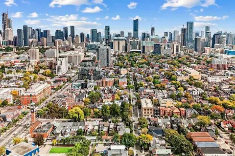
$4,100,000
90 Oxford Street
Kensington-Chinatown, Toronto
Investment · MLS® C13855666 · RE/MAX WEST REALTY INC.
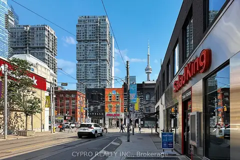
$3,580,000
Address withheld · Kensington-Chinatown
Kensington-Chinatown, Toronto
Commercial Retail · MLS® C13650634 · CYPRO REALTY INC.
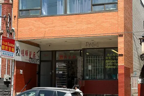
$3,500,000
584 Dundas Street W
Kensington-Chinatown, Toronto
Investment · MLS® C13497976 · HOMELIFE NEW WORLD REALTY INC.
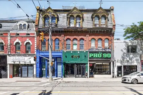
$4,500,000
502 Queen Street W
Kensington-Chinatown, Toronto
Commercial Retail · MLS® C13704106 · RE/MAX ACE REALTY INC.
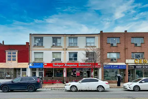
$3,988,888
2183 & 2185 Danforth Avenue
East End-Danforth, Toronto
Store W Apt/Office · MLS® E13071412 · KW Living Realty
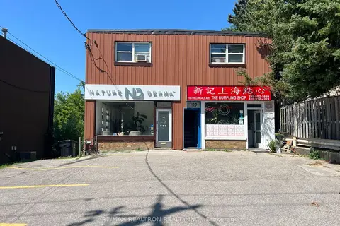
$3,990,000
180-184 Willowdale Avenue
Willowdale East, Toronto
Store W Apt/Office · MLS® C13598310 · RE/MAX REALTRON REALTY INC.
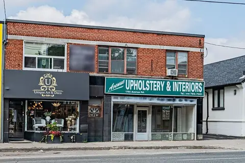
$3,995,000
1762-1764 Avenue Road
Bedford Park-Nortown, Toronto
Store W Apt/Office · MLS® C13783710 · ROYAL LEPAGE SIGNATURE REALTY
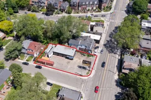
$3,995,000
76 Kingston Road
Woodbine Corridor, Toronto
Industrial · MLS® E13593850 · ROYAL LEPAGE SIGNATURE REALTY