156 Chrislea Road 3
East Woodbridge, Vaughan, L4L 8V1
$29/mo
Listed 66 days ago · MLS® N13676260
About this home
Prime 5,372 Sq.Ft. Retail/Office Unit Available July 1, 2027, at 156 Chrislea Rd, Unit 3, Vaughan. Premium street frontage & high exposure in a high-traffic retail hub. Versatile layout with excellent clear heights, large windows & signage opportunities. Ideal for retail, medical, professional office, or corporate showroom. Unbeatable synergy, located directly across the street from major national anchors: The Brick, Home Depot, Dollarama, & Lee Valley. Positioned to capture massive daily traffic. Unmatched transit connectivity: Minutes to Vaughan Metropolitan Centre (VMC) Subway for direct TTC access to Toronto. Seconds from Hwy 400 with rapid links to Hwys 407, 7, and 401. Easy commuting for clients and staff across the GTA. Features ample free on-site surface parking for customers & staff. Base Rent: $29.00/Sq.Ft. Net (Yr 1) + TMI & Utilities. Rare opportunity in a premier commercial corridor. *For Additional Property Details Click The Brochure Icon Below*
Details
- Type
- Commercial Retail
- Lot
- 5372 × ? ft
- Garage
- Plaza
- Property tax
- $21,500 (2025)
- Neighbourhood
- East Woodbridge
- Municipality
- Vaughan
Heating, cooling and services
- Heating
- Gas Forced Air Closed
- Air conditioning
- Yes
- Utilities
- Yes
Building and exterior
- Building area
- 5,372 Square Feet
Rental terms
- Minimum term
- 60 months
More
- Possession
- July 1, 2027
- Cross street
- Weston Rd and Portage Parkway
Location
Location is approximate. See nearby homes on the map
The neighbourhood
Getting around Very walkable
- 🚇 Vaughan Metropolitan Centre Subway1.3 km
- 🚇 Highway 407 Subway2.1 km
- 🚆 Rutherford GO6.1 km
Within a 10-minute walk: 4 grocery stores, 30 cafés and restaurants, 1 park, 3 pharmacies. Nearest grocery: Ambrosia Natural Foods (350 m). Nearest park: Blue Willow Square (650 m).
Schools nearby
Elementary
- Blue Willow Public School
EQAO: Gr 6 reading 85%, math 43%18 min walk - St. Gabriel the Archangel Catholic Elementary School Catholic
EQAO: Gr 6 reading 77%, math 26%1.4 km - St. John Bosco Catholic Elementary School Catholic
EQAO: Gr 6 reading 89%, math 61%1.5 km - Immaculate Conception Catholic Elementary School Catholic
EQAO: Gr 6 reading 94%, math 57%2.2 km
Secondary
- Father Bressani Catholic High School Catholic
EQAO: Gr 9 math 70%, literacy test 91%1.8 km
EQAO: share of students meeting the provincial standard (2024–25). Ontario average: Gr 6 reading 86%, math 51%; Gr 9 math 55%; literacy test 83%.
Closest schools, not school zones. Check which school serves this address with the school board before relying on it.
Who lives here postal area L4L
- Owners / renters
- 85% / 15%
- Median household income
- $110,000
- Average age
- 46
- Children under 15
- 12%
- Homes
- 64% detached, 15% high-rise
- Commute by transit
- 5%
- Population
- 55,426
Languages spoken most at home besides English: Italian 10.3%, Punjabi (Panjabi) 1.8%, Spanish 1.8%, Mandarin 1%.
Flood and conservation No mapped hazard
Not inside a mapped flood plain or regulated area.
Screening maps only. Ask the conservation authority for a property inquiry before relying on this.
Safety
Crime Severity Index for York Region police: 50 vs 57 for Ontario (2025).
Police-reported figures for the whole police service area, not this street. Rates use the area’s resident population.
Distances are approximate. Places © OpenStreetMap contributors. Neighbourhood figures: Statistics Canada, 2021 Census. School results: EQAO via Ontario Data Catalogue (Open Government Licence – Ontario). Crime Severity Index: Statistics Canada.
Living here
Commute
To Union Station (downtown Toronto): 21 km. Transit times · Driving times
Noise 1 source nearby
- 🛣️ Highway 400300 m
Distances from the map, not noise measurements. Visit at rush hour to judge for yourself.
Internet High-speed
50/10 Mbps or faster available here by cable, fibre or DSL (the federal high-speed target).
From the federal broadband map. Check exact speeds and providers for the address.
Roads, rail, airports and planned stations © OpenStreetMap contributors. Internet: Innovation, Science and Economic Development Canada, National Broadband Data.
Listed by ICI SOURCE REAL ASSET SERVICES INC..
Listing information provided by PropTx Innovations Inc. and TRREB; deemed reliable but not guaranteed accurate by PropTx.
Similar homes nearby
See more in Vaughan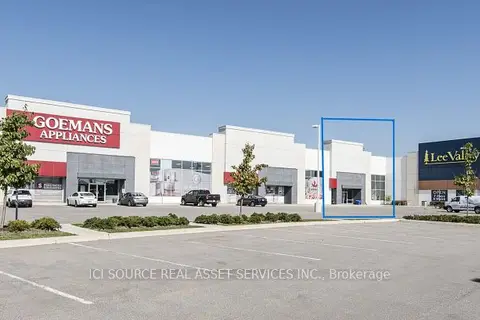
$29/mo
167 Chrislea Road B5
East Woodbridge, Vaughan
Commercial Retail · MLS® N13672598 · ICI SOURCE REAL ASSET SERVICES INC.
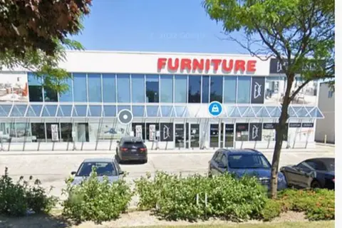
$23/mo
51 Jevlan Drive 8
East Woodbridge, Vaughan
Commercial Retail · MLS® N14033418 · INTERCITY REALTY INC.
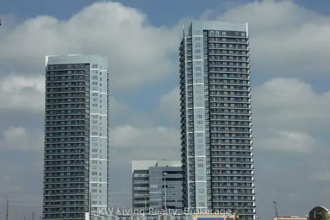
$30/mo
7777 Weston Road 198
Vaughan Corporate Centre, Vaughan
Commercial Retail · MLS® N12134909 · KW Living Realty
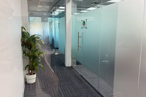
$28/mo
Reduced $2,922
400 Bradwick Drive 204
Concord, Vaughan
Office · MLS® N12982710 · REN/TEX REALTY INC.
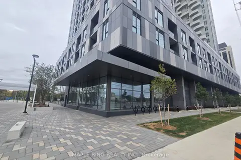
$28/mo
9097 Jane Street 4
Concord, Vaughan
Commercial Retail · MLS® N13113036 · MAPLE RING REALTY INC.
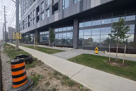
$28/mo
9095 Jane Street 1-2
Concord, Vaughan
Commercial Retail · MLS® N13113056 · MAPLE RING REALTY INC.
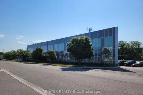
$28/mo
99 Great Gulf Drive Unit 4
Concord, Vaughan
Office · MLS® N13413336 · REN/TEX REALTY INC.
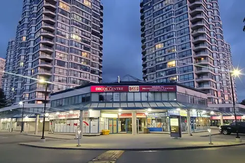
$30/mo
7330 Yonge Street 105
Crestwood-Springfarm-Yorkhill, Vaughan
Commercial Retail · MLS® N13548956 · RE/MAX PREMIER INC.