144 Royal Orchard Boulevard Basem.
Royal Orchard, Markham, L3T 3E3
$1,450/mo
- 1 bedrooms
- 1 bathrooms
- 1 parking
- 1500-2000 sq ft
Listed 73 days ago · MLS® N13653626
About this home
Welcome to the family-friendly Royal Orchard neighborhood!Experience the joy of living in a cozy/warm 1-bedroom basement unit with direct access from the main entrance door with Spacious living room, Enjoy seamless connectivity with quick access to Highway 7,407, & 404, making commuting a breeze. Explore nearby shopping and entertainment options, creating a vibrant and convenient lifestyle. Close to bus stop station, For students / newcomers; the YRT bus #03 provides a direct route to York U (Keele Campus). Commuting to Finch Station is a breeze, taking just 30 minutes by transit.Your daily needs are met with ease,as Food Basics,Shoppers Drug Mart, & Thornhill Community Centre are all within a 5-minute drive. Discover the perfect balance of convenience & community living in the heart of Royal Orchard your new home awaits! Tenant responsible for snow removal of their side, No Pet/No Smoke due to allergy. Tenant pays 1/3 of all utilities. Only 1 Parking space is available on the left side of driveway. Photos taken when vacant. Virtually staged.
Details
- Type
- Detached
- Style
- Backsplit 3
- Size
- 1500-2000 sq ft
- Basement
- Finished
- Garage
- None
- Kitchens
- 1
- Neighbourhood
- Royal Orchard
- Municipality
- Markham
- Rent increase limit
- Depends on when the unit was first lived in: before Nov. 15, 2018 it’s covered by Ontario’s yearly limit (2.1% in 2026); after, there’s no cap.
Interior
- Bedrooms
- 1 above ground
- Bathrooms
- 1 × 3-piece (basement)
- Rooms
- 4 above ground
- Family room or den
- No
- Fireplace
- No
- Laundry
- Shared
- Furnished
- Unfurnished
Heating, cooling and services
- Heating
- Forced Air, Gas
- Air conditioning
- Central Air
- Water and sewer
- Sewer
Building and exterior
- Style
- Backsplit 3
- Exterior
- Brick
- Roof
- Asphalt Shingle
- Foundation
- Concrete
- Faces
- North
Parking
- Total parking
- 1
- Driveway and parking
- Available
Rental terms
- Rent includes
- Parking
More
- Possession
- Flexible
- Nearby
- School Bus Route, Park, School, Public Transit
- Cross street
- Yonge/Royal Orchard
Rooms
| Room | Level | Size | Features |
|---|---|---|---|
| Living Room | Basement | Large Window, Closet, Above Grade Window | |
| Kitchen | Basement | Large Window, Separate Room, Above Grade Window | |
| Bedroom | Basement | Closet, Large Closet | |
| Bathroom | Basement | 3 Pc Bath |
History of this address
3 earlier listings at this address, with sold and leased prices. Create a free account or sign in to see them.
Location
Location is approximate. See nearby homes on the map
The neighbourhood
Getting around Car-dependent
- 🚆 Langstaff GO1.8 km
Within a 10-minute walk: no grocery stores, 2 cafés and restaurants, 3 parks. Nearest park: Royal Orchard Park (550 m).
Schools nearby
Elementary
- Woodland Public School
EQAO: Gr 6 reading 100%, math 91%3 min walk - Stornoway Crescent Public School9 min walk
- St. Anthony Catholic Elementary School Catholic
EQAO: Gr 6 reading 100%, math 87%10 min walk - Baythorn Public School
EQAO: Gr 6 reading 97%, math 87%13 min walk
Secondary
- Thornlea Secondary School
EQAO: Gr 9 math 78%, literacy test 90%15 min walk - Thornhill Secondary School
EQAO: Gr 9 math 68%, literacy test 88%1.7 km
EQAO: share of students meeting the provincial standard (2024–25). Ontario average: Gr 6 reading 86%, math 51%; Gr 9 math 55%; literacy test 83%.
Closest schools, not school zones. Check which school serves this address with the school board before relying on it.
Who lives here postal area L3T
- Owners / renters
- 76% / 24%
- Median household income
- $95,000
- Average age
- 46
- Children under 15
- 13%
- Homes
- 42% detached, 36% high-rise
- Commute by transit
- 11%
- Population
- 50,405
Languages spoken most at home besides English: Yue (Cantonese) 8.9%, Iranian Persian 8.2%, Mandarin 7.7%, Korean 3.4%.
Flood and conservation No mapped hazard
Not inside a mapped flood plain or regulated area.
Screening maps only. Ask the conservation authority for a property inquiry before relying on this.
Safety
Crime Severity Index for York Region police: 50 vs 57 for Ontario (2025).
Police-reported figures for the whole police service area, not this street. Rates use the area’s resident population.
Distances are approximate. Places © OpenStreetMap contributors. Neighbourhood figures: Statistics Canada, 2021 Census. School results: EQAO via Ontario Data Catalogue (Open Government Licence – Ontario). Crime Severity Index: Statistics Canada.
Living here
Commute
To Union Station (downtown Toronto): 20 km. Transit times · Driving times
Noise 1 source nearby
- 🚆 Rail line (CN Bala Subdivision)300 m
Distances from the map, not noise measurements. Visit at rush hour to judge for yourself.
Internet High-speed
50/10 Mbps or faster available here by cable, fibre or DSL (the federal high-speed target).
From the federal broadband map. Check exact speeds and providers for the address.
Roads, rail, airports and planned stations © OpenStreetMap contributors. Internet: Innovation, Science and Economic Development Canada, National Broadband Data.
Listed by KELLER WILLIAMS PORTFOLIO REALTY.
Listing information provided by PropTx Innovations Inc. and TRREB; deemed reliable but not guaranteed accurate by PropTx.
Similar homes nearby
See more in Markham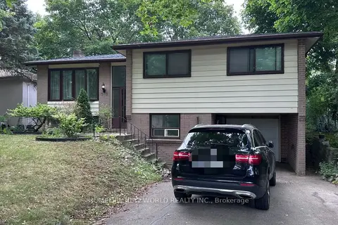
$1,500/mo
Reduced $200
2 bd1 ba1 pk< 700 ft²
79 Normark Drive
Royal Orchard, Markham
Detached · MLS® N13755190 · HOMELIFE NEW WORLD REALTY INC.
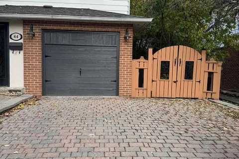
$1,550/mo
Reduced $100
1 bd1 ba1 pk1500-2000 ft²
44 Royal Orchard Boulevard
Royal Orchard, Markham
Detached · MLS® N12532984 · REMAX YOUR COMMUNITY REALTY
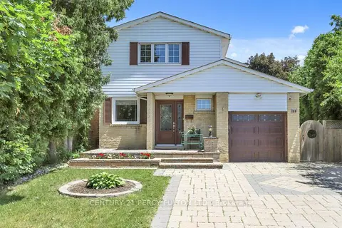
$1,450/mo
0 bd1 ba1 pk< 700 ft²
158 Holm Crescent Bsmnt
Aileen-Willowbrook, Markham
Link · MLS® N13666360 · CENTURY 21 PERCY FULTON LTD.
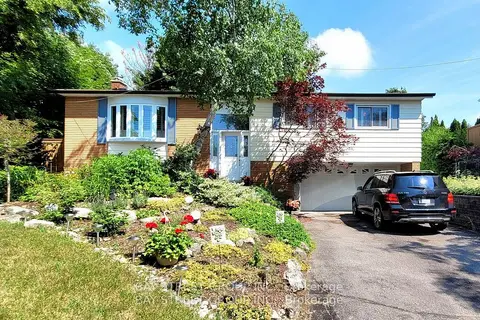
$1,450/mo
1 bd1 ba2 pk< 700 ft²
37 Sir Bodwin Place Lower
Markham Village, Markham
Detached · MLS® N13816894 · BAY STREET GROUP INC.
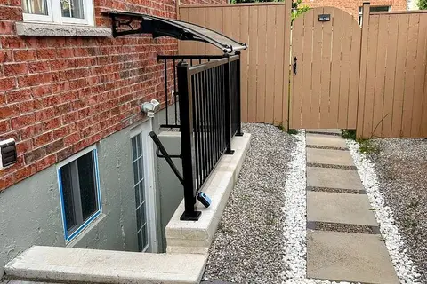
$1,450/mo
1 bd1 ba1 pk< 700 ft²
45 Dame Gruev Drive
Greensborough, Markham
Detached · MLS® N14082732 · HOMELIFE G1 REALTY INC.
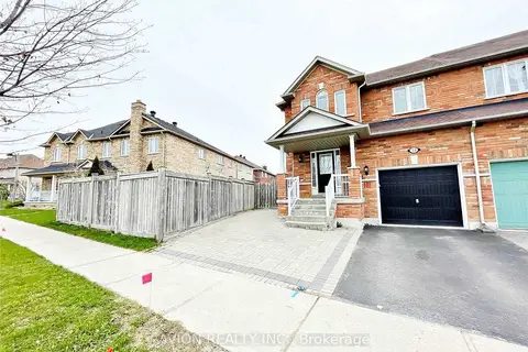
$1,480/mo
1 bd1 ba1 pk700-1100 ft²
73 Harry Blaylock Drive Lower
Greensborough, Markham
Att/Row/Townhouse · MLS® N13781418 · AVION REALTY INC.
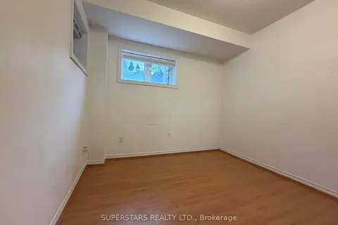 New
$1,480/mo
2 bd1 ba1 pk2000-2500 ft²
11 Zeng Cheng Drive Basement
Victoria Square, Markham
Semi-Detached · MLS® N14091990 · SUPERSTARS REALTY LTD.
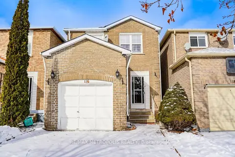
$1,499/mo
2 bd1 ba1 pk1500-2000 ft²
116 Douglas Haig Drive Basement
Middlefield, Markham
Detached · MLS® N14031318 · RE/MAX METROPOLIS REALTY