140 Finchdene Square 15
Rouge E11, Toronto, M1X 1B1
$39,000
Listed 115 days ago · MLS® E13496526
About this home
Freezer warehouse built 6 years ago available for asset sale in a prime Finch Avenue & Markham Road location. The premises offer approximately 2,040 sq. ft. of total space, including about 1,400 sq. ft. of professionally built freezer area. The property features a rear loading dock that can accommodate 53-ft trailers, excellent access to major roads and highways, and refrigeration equipment that is in good working condition. This opportunity is ideal for frozen meat, seafood, and frozen food wholesale or distribution businesses. Please note that this is an asset sale only. The current tenant has approximately 3 years remaining on the existing lease,
Details
- Type
- Sale Of Business
- Garage
- Outside/Surface
- Property tax
- $1,372 (2026)
- Neighbourhood
- Rouge E11
- Municipality
- Toronto E11
Heating, cooling and services
- Heating
- Gas Forced Air Open
- Air conditioning
- Partial
Building and exterior
- Building area
- 2,040 Square Feet
More
- Possession
- TBA
- Cross street
- Finch/Markham Rd
Location
Location is approximate. See nearby homes on the map
Recent sales nearby
See what similar homes within 1 km sold for in the last year. Create a free account or sign in to see them.
The neighbourhood
Getting around Somewhat walkable
- 🚆 Agincourt GO5.5 km
Within a 10-minute walk: 1 grocery store, 1 cafés and restaurants, 4 parks. Nearest grocery: Eraa Supermarket (800 m). Nearest park: Nightstar Park (700 m).
Schools nearby
Elementary
- St. Gabriel Lalemant Catholic School Catholic
EQAO: Gr 6 reading 75%, math 33%13 min walk - Thomas L Wells Public School
EQAO: Gr 6 reading 91%, math 74%13 min walk - Tom Longboat Junior Public School
EQAO: Gr 6 reading 97%, math 52%14 min walk - Blessed Pier Giorgio Frassati Catholic School Catholic
EQAO: Gr 6 reading 96%, math 54%1.2 km
Secondary
- Lester B. Pearson Collegiate Institute
EQAO: Gr 9 math 47%, literacy test 84%1.8 km - St. Mother Teresa Catholic Academy Catholic · Private
EQAO: Gr 9 math 29%, literacy test 70%1.8 km - Dr. Marion Hilliard Senior Public School1.9 km
EQAO: share of students meeting the provincial standard (2024–25). Ontario average: Gr 6 reading 86%, math 51%; Gr 9 math 55%; literacy test 83%.
Closest schools, not school zones. Check which school serves this address with the school board before relying on it.
Who lives here postal area M1X
- Owners / renters
- 88% / 12%
- Median household income
- $122,000
- Average age
- 39
- Children under 15
- 16%
- Homes
- 71% detached
- Commute by transit
- 12%
- Population
- 14,810
Languages spoken most at home besides English: Tamil 24.2%, Gujarati 2.7%, Tagalog (Pilipino, Filipino) 2.2%, Yue (Cantonese) 1.5%.
Flood and conservation No mapped hazard
Not inside a mapped flood plain or regulated area.
Screening maps only. Ask the conservation authority for a property inquiry before relying on this.
Safety
Major crime per resident in Morningside Heights (2025): about the Toronto average, about the same from the year before.
- Assault37% below average
- Break and enter21% below average
- Auto theft61% above average
- Robbery76% above average
- Theft from vehiclesabout average
- Shootings129% above average
Crime Severity Index for Toronto police: 60 vs 57 for Ontario (2025).
Police-reported figures for the whole neighbourhood, not this street. Rates use the area’s resident population.
Development nearby 1 active
-
20 PULLMAN CRT · 500 mSite Plan · Under Review · applied 2026The proposed development consists of a three¿storey expansion to the existing data centre building,with a Gross Floor Area (GFA) of approximately 7,076.26…Application details
Rezoning, site plan, subdivision and condominium applications filed with the city.
Distances are approximate. Places © OpenStreetMap contributors. Neighbourhood figures: Statistics Canada, 2021 Census. School results: EQAO via Ontario Data Catalogue (Open Government Licence – Ontario). Neighbourhood crime: Toronto Police Service Public Safety Data Portal (Open Government Licence – Toronto Police Service). Crime Severity Index: Statistics Canada. Planning applications: City of Toronto open data.
Living here
Commute
To Union Station (downtown Toronto): 23 km. Transit times · Driving times
Noise Nothing major nearby
No highway within 500 m, rail line within 300 m, or airport flight path nearby.
Distances from the map, not noise measurements. Visit at rush hour to judge for yourself.
What can be built E
Employment Industrial.
From Toronto’s Zoning By-law 569-2013 map. Lot size, setbacks and trees decide what actually fits; check with a planner before you buy.
Trees
11 City street trees within 100 m, mostly kentuckies. That’s fewer than the Toronto average of 42.
Trees on City boulevards only, not private yards or parks.
Internet High-speed
50/10 Mbps or faster available here by cable, fibre or DSL (the federal high-speed target).
From the federal broadband map. Check exact speeds and providers for the address.
Zoning, heritage, building permits and street trees: City of Toronto open data (Open Government Licence – Toronto). Roads, rail, airports and planned stations © OpenStreetMap contributors. Internet: Innovation, Science and Economic Development Canada, National Broadband Data.
Listed by REAL ONE REALTY INC..
Listing information provided by PropTx Innovations Inc. and TRREB; deemed reliable but not guaranteed accurate by PropTx.
Similar homes nearby
See more in Toronto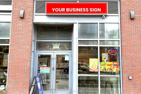
$39,000
1 ba
233 College Street C
Kensington-Chinatown, Toronto
Sale Of Business · MLS® C13661960 · HOMELIFE FRONTIER REALTY INC.
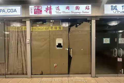
$39,000
4675 Steeles Avenue E 2A10
Milliken, Toronto
Commercial Retail · MLS® E13559288 · SUPERSTARS REALTY LTD.
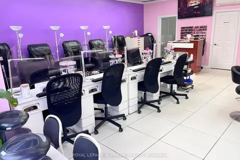
$38,800
Reduced $21,100
743 Dovercourt Road
Dovercourt-Wallace Emerson-Junction, Toronto
Sale Of Business · MLS® W13837188 · ROYAL LEPAGE SUPREME REALTY
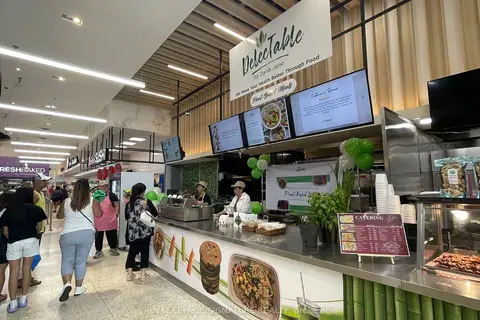
$39,900
31 Tapscott Road 99
Malvern, Toronto
Sale Of Business · MLS® E13484278 · ROYAL LEPAGE SIGNATURE REALTY
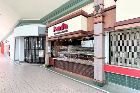
$39,900
31 Tapscott Road 8
Malvern, Toronto
Sale Of Business · MLS® E13693304 · CENTURY 21 HERITAGE GROUP LTD.
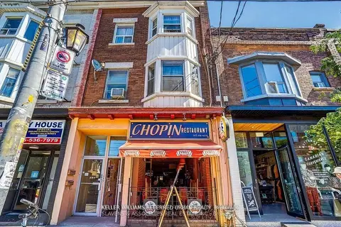
$39,990
165 Roncesvalles Avenue
Roncesvalles, Toronto
Sale Of Business · MLS® W13737000 · KELLER WILLIAMS REFERRED URBAN REALTY
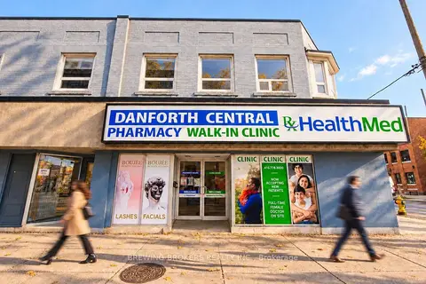
$39,998
1188 Danforth Avenue
Danforth, Toronto
Sale Of Business · MLS® E13868018 · BREWING BROKERS REALTY INC.
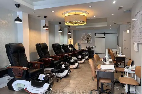
$40,000
Reduced $48,000
3887 Bathurst Street
Lansing-Westgate, Toronto
Sale Of Business · MLS® C13111382 · REMAX YOUR COMMUNITY REALTY