1375 Bathurst Street Main/Basement
Casa Loma, Toronto, M5R 3H8
$32/mo
- 2 bathrooms
Listed 94 days ago · MLS® C13578508
About this home
Exceptional opportunity to lease a fully renovated commercial space in a highly visible, high-traffic location along Bathurst Street. Offering approximately 1,400 sq. ft. on the main floor plus an additional 900 sq. ft. finished basement, this versatile space is ideal for a variety of clean retail uses.The bright and modern main floor features high ceilings, an open and functional retail layout, and excellent street exposure with outstanding pedestrian and vehicle traffic. The finished lower level provides valuable additional space for retail, office, storage, or operational needs and includes a separate rear entrance for added convenience and flexibility.The premises also feature two full bathrooms with showers, making the space well-suited for businesses requiring staff facilities or extended operating hours. Four dedicated rear parking spaces, a rare amenity along Bathurst Street, provide convenient access for staff and customers.Ideally situated close to public transit, major roadways, and established residential neighbourhoods, this prime location offers exceptional accessibility and visibility for your business. A rare opportunity to secure a fully renovated, move-in-ready commercial space in one of Toronto's most desirable retail corridors.
Details
- Type
- Commercial Retail
- Lot
- 20 × 125 ft
- Garage
- Double Detached
- Property tax
- $12,661 (2026)
- Neighbourhood
- Casa Loma
- Municipality
- Toronto C02
Interior
- Bathrooms
- 2 × bathroom
Heating, cooling and services
- Heating
- Gas Forced Air Closed
- Water and sewer
- Sanitary+Storm
- Utilities
- Available
Building and exterior
- Building area
- 2,300 Square Feet
Rental terms
- Minimum term
- 36 months
More
- Possession
- Immediate
- Cross street
- Bathurst St and St Clair Ave W
- Business type
- Retail Store Related
Location
Location is approximate. See nearby homes on the map
The neighbourhood
Getting around Very walkable
- 🚇 St. Clair West Subway8 min walk
- 🚇 Dupont Subway16 min walk
- 🚆 Exhibition GO4.9 km
Within a 10-minute walk: 7 grocery stores, 62 cafés and restaurants, 19 parks, 9 pharmacies. Nearest grocery: St. Clair Fruits Market (350 m). Nearest park: Burnside Dr Boulevard (250 m).
Schools nearby
Elementary
- Hillcrest Community School
EQAO: Gr 6 reading 91%, math 61%2 min walk - Holy Rosary Catholic School Catholic
EQAO: Gr 6 reading 100%, math 55%9 min walk - Humewood Community School
EQAO: Gr 6 reading 87%, math 60%17 min walk - McMurrich Junior Public School
EQAO: Gr 6 reading 96%, math 75%17 min walk
Secondary
- Winona Drive Senior Public School17 min walk
EQAO: share of students meeting the provincial standard (2024–25). Ontario average: Gr 6 reading 86%, math 51%; Gr 9 math 55%; literacy test 83%.
Closest schools, not school zones. Check which school serves this address with the school board before relying on it.
Who lives here postal area M5R
- Owners / renters
- 39% / 61%
- Median household income
- $86,000
- Average age
- 46
- Children under 15
- 8%
- Homes
- 5% detached, 54% high-rise
- Commute by transit
- 25%
- Population
- 26,197
Languages spoken most at home besides English: Mandarin 1.3%, Spanish 1%, Yue (Cantonese) 0.7%, Iranian Persian 0.6%.
Flood and conservation No mapped hazard
Not inside a mapped flood plain or regulated area.
Screening maps only. Ask the conservation authority for a property inquiry before relying on this.
Safety
Major crime per resident in Casa Loma (2025): 22% below the Toronto average, about the same from the year before.
- Assault26% below average
- Break and enter70% above average
- Auto theft67% below average
- Robbery63% below average
- Theft from vehicles51% below average
- Shootings80% above average
Crime Severity Index for Toronto police: 60 vs 57 for Ontario (2025).
Police-reported figures for the whole neighbourhood, not this street. Rates use the area’s resident population.
Development nearby 10 active
-
542 ST CLAIR AVE W · 400 mSite Plan · NOAC Issued · applied 2025Site Plan Control application to permit a 3 storey addition with a roof top outdoor playground associated with the proposed childcare space at 542 St. Clair…Application details
-
40 RAGLAN AVE · 500 mSite Plan · NOAC Issued · applied 2022Current proposal since Nov 2025: is for a 37-storey (including Mechanical Penthouse level with indoor and outdoor amenity space), mixed use building with a 174…Application details
-
538 ST CLAIR AVE W · 350 mSite Plan · Under Review · applied 2022Site Plan application for a 35-storey mixed use building comprised of 152 square metres of retail space on the ground floor, and 380 residential units.Application details
-
10 RAGLAN AVE · 400 mSite Plan · NOAC Issued · applied 2022Dec 2023 revised submission: proposes a 34-storey mixed use with a more slender podium, with no revision to the approved site specific GFA, requiring a Minor…Application details
-
5 RAGLAN AVE · 400 mSite Plan · NOAC Issued · applied 2021Site plan Approval application to facilitate the redevelopment of the sites for a 28-storey residential building having a gross floor area of 15407.2 square…Application details
-
5 RAGLAN AVE · 400 mPlan of Condominium · Under Review · applied 2021*** Draft Plan of Condominium for 170 units.There is a OLT approved Zoning By-law Amendment application. There is a concurrent Site Plan Control application…Application details
6 more within 500 m.
Rezoning, site plan, subdivision and condominium applications filed with the city.
Distances are approximate. Places © OpenStreetMap contributors. Neighbourhood figures: Statistics Canada, 2021 Census. School results: EQAO via Ontario Data Catalogue (Open Government Licence – Ontario). Neighbourhood crime: Toronto Police Service Public Safety Data Portal (Open Government Licence – Toronto Police Service). Crime Severity Index: Statistics Canada. Planning applications: City of Toronto open data.
Living here
Commute
To Union Station (downtown Toronto): 5 km. Transit times · Driving times
Noise Nothing major nearby
No highway within 500 m, rail line within 300 m, or airport flight path nearby.
Distances from the map, not noise measurements. Visit at rush hour to judge for yourself.
What can be built CR
Commercial Residential (with a site-specific exception).
From Toronto’s Zoning By-law 569-2013 map. Lot size, setbacks and trees decide what actually fits; check with a planner before you buy.
Building permits
- Multiple Projects · 2017 · Revision IssuedRevision to First Floor entrance, proposed Third Floor with mezzanine addition to existing one (1) dwelling unit in building, interior…
Permits filed with the City of Toronto. A permit doesn’t mean the work passed final inspection.
Trees
72 City street trees within 100 m. That’s more than the Toronto average of 42.
Trees on City boulevards only, not private yards or parks.
Internet High-speed
50/10 Mbps or faster available here by cable, fibre or DSL (the federal high-speed target).
From the federal broadband map. Check exact speeds and providers for the address.
Zoning, heritage, building permits and street trees: City of Toronto open data (Open Government Licence – Toronto). Roads, rail, airports and planned stations © OpenStreetMap contributors. Internet: Innovation, Science and Economic Development Canada, National Broadband Data.
Listed by CENTURY 21 LEADING EDGE REALTY INC..
Listing information provided by PropTx Innovations Inc. and TRREB; deemed reliable but not guaranteed accurate by PropTx.
Similar homes nearby
See more in Toronto
$30/mo
287 Macpherson Avenue 303
Casa Loma, Toronto
Office · MLS® C13633532 · SOTHEBY'S INTERNATIONAL REALTY CANADA
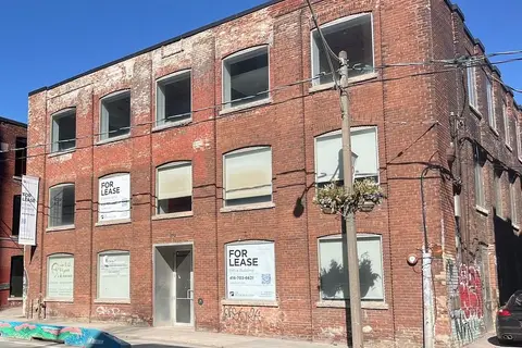
$32/mo
272 E Richmond Street E 2nd/3rd
Moss Park, Toronto
Office · MLS® C12967730 · CB METROPOLITAN COMMERCIAL LTD.
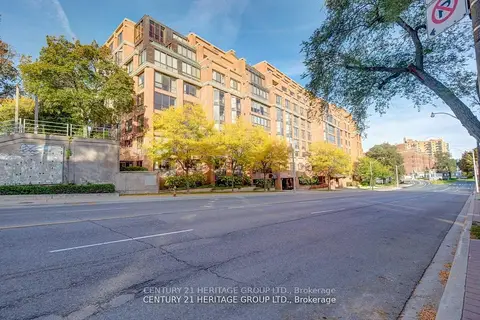
$32/mo
3 ba
2900 Yonge Street 101
Lawrence Park South, Toronto
Office · MLS® C13517998 · CENTURY 21 HERITAGE GROUP LTD.
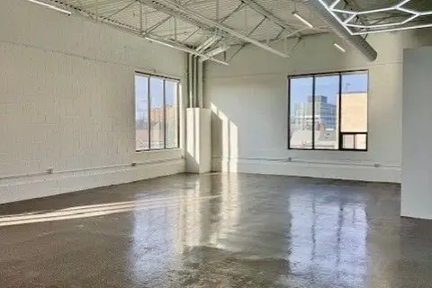
$32/mo
1485 Dupont Street 310
Dovercourt-Wallace Emerson-Junction, Toronto
Office · MLS® W12570282 · CB METROPOLITAN COMMERCIAL LTD.
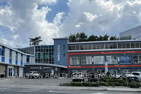
$32/mo
2489 Bloor Street W 203
High Park-Swansea, Toronto
Office · MLS® W13451792 · ARISTON REALTY CORP.
$32/mo
139 Mulock Avenue Entire Building
Junction Area, Toronto
Office · MLS® W13634538 · CB METROPOLITAN COMMERCIAL LTD.
$32/mo
139 Mulock Avenue Main Floor
Junction Area, Toronto
Office · MLS® W13634644 · CB METROPOLITAN COMMERCIAL LTD.
$32/mo
139 Mulock Avenue 2nd Floor
Junction Area, Toronto
Office · MLS® W13634746 · CB METROPOLITAN COMMERCIAL LTD.