1303 Freeport Drive
Erindale, Mississauga, L5C 1S5
$2,500/mo
- 2 bedrooms
- 1 bathrooms
- 1 parking
- 700-1100 sq ft
Listed 47 days ago · MLS® W13740642
About this home
Freshly Renovated 2-Bedroom Basement Apartment With Separate Entrance. Functional Layout With Modern Finishes And Comfortable Living Space. Conveniently Located Close To Highways, GO Train, Supermarkets, Restaurants & Daily Amenities. Minutes To University Of Toronto Mississauga Campus. Excellent Transit Access-Perfect For Students, Professionals & Commuters! Tenant Pays 40% Of Utilities.
Details
- Type
- Semi-Detached
- Style
- Bungalow
- Size
- 700-1100 sq ft
- Lot
- 23.4 × ? ft
- Basement
- Separate Entrance
- Garage
- None
- Kitchens
- 1
- Neighbourhood
- Erindale
- Municipality
- Mississauga
- Rent increase limit
- Depends on when the unit was first lived in: before Nov. 15, 2018 it’s covered by Ontario’s yearly limit (2.1% in 2026); after, there’s no cap.
Interior
- Bedrooms
- 2 above ground
- Bathrooms
- 1 × 3-piece (basement)
- Rooms
- 4 above ground
- Family room or den
- No
- Fireplace
- No
- Laundry
- In Basement
- Features
- Carpet Free
- Furnished
- Partially
Heating, cooling and services
- Heating
- Forced Air, Gas
- Air conditioning
- Central Air
- Water and sewer
- Sewer
Building and exterior
- Style
- Bungalow
- Exterior
- Brick
- Roof
- Asphalt Shingle
- Foundation
- Concrete
- Faces
- North
Parking
- Total parking
- 1
Lot
- Size
- 23.4 × ? ft
More
- Possession
- Immediate
- Cross street
- Burnhamthorpe/Mavis
History of this address
4 earlier listings at this address, with sold and leased prices. Create a free account or sign in to see them.
Location
Location is approximate. See nearby homes on the map
The neighbourhood
Getting around Very walkable
- 🚆 Erindale GO8 min walk
Within a 10-minute walk: 2 grocery stores, 37 cafés and restaurants, 5 parks, 5 pharmacies. Nearest grocery: BTrust Supermarket (500 m). Nearest park: Woodland Park (250 m).
Schools nearby
Elementary
- Queenston Drive Public School
EQAO: Gr 6 reading 83%, math 51%4 min walk - Ellengale Public School
EQAO: Gr 6 reading 93%, math 80%5 min walk - Al Huda Elementary School8 min walk
- St. Gerard Separate School Catholic
EQAO: Gr 6 reading 82%, math 18%13 min walk
Secondary
- The Woodlands Secondary School1.4 km
EQAO: share of students meeting the provincial standard (2024–25). Ontario average: Gr 6 reading 86%, math 51%; Gr 9 math 55%; literacy test 83%.
Closest schools, not school zones. Check which school serves this address with the school board before relying on it.
Who lives here postal area L5C
- Owners / renters
- 74% / 26%
- Median household income
- $102,000
- Average age
- 42
- Children under 15
- 14%
- Homes
- 45% detached, 15% high-rise
- Commute by transit
- 12%
- Population
- 29,284
Languages spoken most at home besides English: Mandarin 5.7%, Polish 2.7%, Urdu 2.7%, Tagalog (Pilipino, Filipino) 2%.
Flood and conservation No mapped hazard
Not inside a mapped flood plain or regulated area in Credit Valley Conservation’s mapping.
Screening maps only. Ask the conservation authority for a property inquiry before relying on this.
Safety
Crime Severity Index for Peel Region (Mississauga/Brampton) police: 59 vs 57 for Ontario (2025).
Police-reported figures for the whole police service area, not this street. Rates use the area’s resident population.
Development nearby
No planning applications within 500 m in the last five years.
Rezoning, site plan, subdivision and condominium applications filed with the city.
Distances are approximate. Places © OpenStreetMap contributors. Neighbourhood figures: Statistics Canada, 2021 Census. School results: EQAO via Ontario Data Catalogue (Open Government Licence – Ontario). Flood and regulation mapping: Credit Valley Conservation open data. Crime Severity Index: Statistics Canada.
Living here
Commute
To Union Station (downtown Toronto): 25 km. Transit times · Driving times
Noise 1 source nearby
- 🚆 Rail line (Galt Subdivision)250 m
Distances from the map, not noise measurements. Visit at rush hour to judge for yourself.
Internet High-speed
50/10 Mbps or faster available here by cable, fibre or DSL (the federal high-speed target).
From the federal broadband map. Check exact speeds and providers for the address.
Short-term rentals
Only in your principal residence, with a City licence: not allowed in investment properties. Up to 180 nights a year, no more than 30 in a row.
Roads, rail, airports and planned stations © OpenStreetMap contributors. Internet: Innovation, Science and Economic Development Canada, National Broadband Data.
Listed by PIVOT REAL ESTATE GROUP.
Listing information provided by PropTx Innovations Inc. and TRREB; deemed reliable but not guaranteed accurate by PropTx.
Similar homes nearby
See more in Mississauga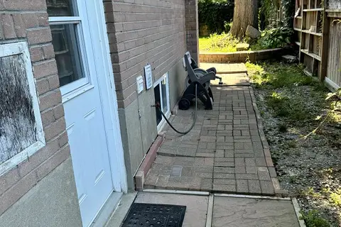
$2,200/mo
Reduced $100
2 bd2 ba1 pk1100-1500 ft²
1442 Monaghan Circle
Erindale, Mississauga
Detached · MLS® W13622924 · AIMHOME REALTY INC.
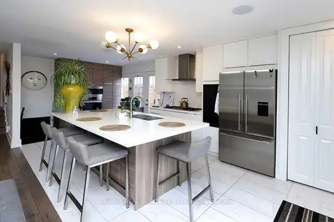
$2,950/mo
3 bd1 ba1 pk1100-1500 ft²
814 Eaglemount Crescent
Erindale, Mississauga
Semi-Detached · MLS® W13788998 · RE/MAX REAL ESTATE CENTRE INC.
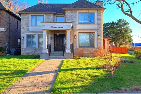
$2,500/mo
2 bd2 ba1 pk3000-3500 ft²
38 Harrison Avenue LOWER
Port Credit, Mississauga
Detached · MLS® W13686110 · RE/MAX HALLMARK REALTY LTD.
$2,500/mo
4 bd2 ba2 pk3000-3500 ft²
6075 TILLSDOWN Drive Basement
East Credit, Mississauga
Detached · MLS® W13739222 · FIRST CLASS REALTY INC.
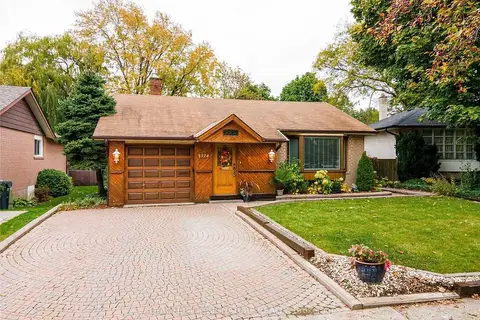
$2,500/mo
2 bd1 ba1 pk1100-1500 ft²
1374 Ludbrook Court Bsmt
Clarkson, Mississauga
Detached · MLS® W13749706 · ROYAL LEPAGE SIGNATURE REALTY
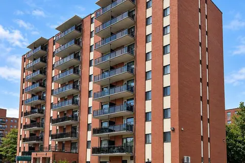
$2,549/mo
2 bd1 ba1 pk700-1100 ft²
45 Paisley Boulevard W 302
Cooksville, Mississauga
Multiplex · MLS® W13879590 · The Agency
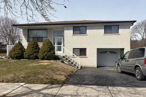
$2,550/mo
3 bd1 ba2 pk1100-1500 ft²
3759 Bayswater Crescent
Malton, Mississauga
Detached · MLS® W12920738 · RE/MAX PRESIDENT REALTY
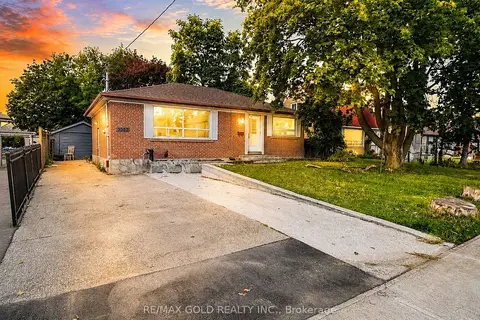
$2,550/mo
3 bd1 ba3 pk700-1100 ft²
3352 Etude Drive
Malton, Mississauga
Detached · MLS® W13687618 · RE/MAX GOLD REALTY INC.