130 Queens Quay E 620
Waterfront Communities C8, Toronto, M5A 0P6
$25/mo
Listed 51 days ago · MLS® C13725618
About this home
****97.5 Walkscore*** Bright & spacious east-facing office in Prestigious Daniels Waterfront Community by the Lake, on Sugar Beach. Situated In Toronto's Core Downtown, Steps To Technical Innovation Hub, Google Sidewalk Lab, City Of Arts, Sugar Beach, George Brown College, Chorus. Walking Distance To Union Station, St. Lawrence Market, Cafes, Restaurants, Parks, Loblaws. Quick And Easy Access To Gardiner Express, Dvp, Billy Bishop Airport, Lakeshore & Distillery District. Other Tenants Include: Daniels, O.C.A.D., Core Architects, The Weekend And George Brown College. T.T.C. At Doorstep, Immediate Access To D.V.P., Gardiner Island Airport And Express Train To Pearson. Shared Boardroom And Breathtaking Outdoor Amenity Spaces, 16/ 7 Concierge. R.B.C. In Building.
Details
- Type
- Office
- Garage
- Underground
- Property tax
- $10,833 (2025)
- Neighbourhood
- Waterfront Communities C8
- Municipality
- Toronto C08
Heating, cooling and services
- Heating
- Fan Coil
- Air conditioning
- Yes
- Utilities
- Yes
Building and exterior
- Building area
- 1,115 Square Feet
Rental terms
- Minimum term
- 60 months
More
- Possession
- Immediate
- Cross street
- Jarvis & Queens Quay East
- Business type
- Professional Office
History of this address
1 earlier listing at this address, with sold and leased prices. Create a free account or sign in to see them.
Location
Location is approximate. See nearby homes on the map
The neighbourhood
Getting around Very walkable
- 🚇 King Subway13 min walk
- 🚇 Union Subway14 min walk
- 🚆 Toronto Union Station GO14 min walk
Within a 10-minute walk: 14 grocery stores, 173 cafés and restaurants, 17 parks, 14 pharmacies. Nearest grocery: Loblaws (50 m). Nearest park: Sugar Beach North (0 m).
Schools nearby
Elementary
- Downtown Alternative School6 min walk
- St. Michael Catholic School Catholic
EQAO: Gr 6 reading 83%, math 36%6 min walk - Market Lane Junior and Senior Public School
EQAO: Gr 6 reading 94%, math 50%11 min walk - St. Paul Catholic School Catholic
EQAO: Gr 6 reading 87%, math 50%1.4 km
Secondary
- Inglenook Community School
EQAO: literacy test 50%1.3 km - Contact Alternative School2.0 km
- Collège français French2.1 km
EQAO: share of students meeting the provincial standard (2024–25). Ontario average: Gr 6 reading 86%, math 51%; Gr 9 math 55%; literacy test 83%.
Closest schools, not school zones. Check which school serves this address with the school board before relying on it.
Who lives here postal area M5A
- Owners / renters
- 35% / 65%
- Median household income
- $71,000
- Average age
- 40
- Children under 15
- 9%
- Homes
- 0% detached, 78% high-rise
- Commute by transit
- 28%
- Population
- 48,978
Languages spoken most at home besides English: Bengali 1.8%, Mandarin 1.7%, Yue (Cantonese) 1.5%, Spanish 1.3%.
Flood and conservation No mapped hazard
Not inside a mapped flood plain or regulated area.
Screening maps only. Ask the conservation authority for a property inquiry before relying on this.
Safety
Major crime per resident in St Lawrence-East Bayfront-The Islands (2025): about the Toronto average, down 13% from the year before.
- Assault38% above average
- Break and enterabout average
- Auto theft89% below average
- Robbery23% above average
- Theft from vehicles23% below average
- Shootings45% below average
Crime Severity Index for Toronto police: 60 vs 57 for Ontario (2025).
Police-reported figures for the whole neighbourhood, not this street. Rates use the area’s resident population.
Development nearby 24 active
-
259 LAKE SHORE BLVD E · 450 mOfficial Plan / Zoning By-law Amendment · Under Review · applied 2026Zoning By-law Amendment - Lifting of the H Symbol for 23 167778 STE 10 OZ, 25 231179 STE 10 OZ, and 26 149454 STE 10 OZApplication details
-
1 YONGE ST · 450 mOfficial Plan / Zoning By-law Amendment · Under Review · applied 2025Proposed Official Plan Amendment and Zoning By-law Amendment applications contemplate the redevelopment of the Subject Site with two towers having heights of…Application details
-
259 LAKE SHORE BLVD E · 450 mSite Plan · Under Review · applied 2025Site plan application for Quayside Building 2, a 56 storey, 618 unit building to be delivered as part of the Quayside project. The proposed development…Application details
-
7 YONGE ST · 500 mPlan of Condominium · Draft Plan Approved · applied 2025Draft Plan of Phased Condominium for 958 residential dwelling units.Application details
-
259 LAKE SHORE BLVD E · 450 mPlan of Subdivision · Under Review · applied 2023Quayside development - Proposed Draft Plan of Subdivision to establish eight blocks, including the Queens Quay East extension, a realigned Parliament Street,…Application details
-
259 LAKE SHORE BLVD E · 450 mSite Plan · Under Review · applied 2023"Master Site Plan Application" for Quayside Blocks 1 & 2 ground floor and below grade elements.This Master Site Plan Application addresses ground floor design…Application details
32 more within 500 m.
Rezoning, site plan, subdivision and condominium applications filed with the city.
Distances are approximate. Places © OpenStreetMap contributors. Neighbourhood figures: Statistics Canada, 2021 Census. School results: EQAO via Ontario Data Catalogue (Open Government Licence – Ontario). Neighbourhood crime: Toronto Police Service Public Safety Data Portal (Open Government Licence – Toronto Police Service). Crime Severity Index: Statistics Canada. Planning applications: City of Toronto open data.
Living here
Commute
To Union Station (downtown Toronto): 1 km. Transit times · Driving times
Coming transit
- 🚧 Distillery District 900 m
- 🚧 Moss Park 1.1 km
- 🚧 Queen 1.2 km
Stations under construction or approved. Opening dates are the latest public estimates and often move.
Noise 2 sources nearby
- 🛣️ Gardiner Expressway150 m
- 🚆 Rail line (Union Station Rail Corridor)250 m
Distances from the map, not noise measurements. Visit at rush hour to judge for yourself.
Trees
19 City street trees within 100 m, mostly maples. That’s fewer than the Toronto average of 42.
Trees on City boulevards only, not private yards or parks.
Internet High-speed
50/10 Mbps or faster available here by cable, fibre or DSL (the federal high-speed target).
From the federal broadband map. Check exact speeds and providers for the address.
Zoning, heritage, building permits and street trees: City of Toronto open data (Open Government Licence – Toronto). Roads, rail, airports and planned stations © OpenStreetMap contributors. Internet: Innovation, Science and Economic Development Canada, National Broadband Data.
Listed by CENTRAL HOME REALTY INC..
Listing information provided by PropTx Innovations Inc. and TRREB; deemed reliable but not guaranteed accurate by PropTx.
Similar homes nearby
See more in Toronto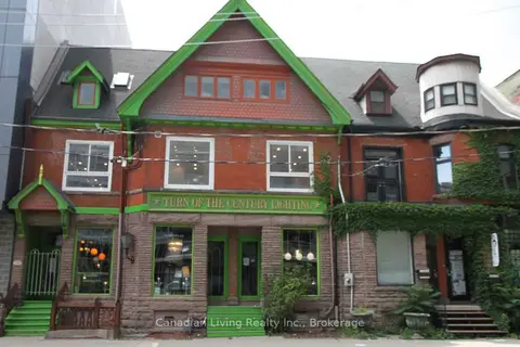
$25/mo
Reduced $25
112 Sherbourne Street
Waterfront Communities C8, Toronto
Commercial Retail · MLS® C12820548 · Canadian Living Realty Inc.
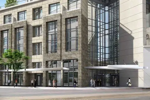
$30/mo
1 The Esplanade UR1
Waterfront Communities C8, Toronto
Commercial Retail · MLS® C4837237 · THE BEHAR GROUP REALTY INC.
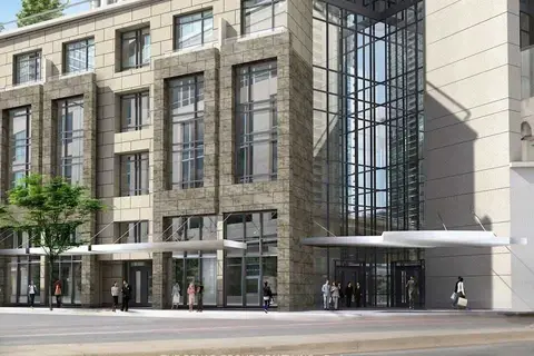
$30/mo
1 The Esplanade UR1
Waterfront Communities C8, Toronto
Office · MLS® C5093265 · THE BEHAR GROUP REALTY INC.
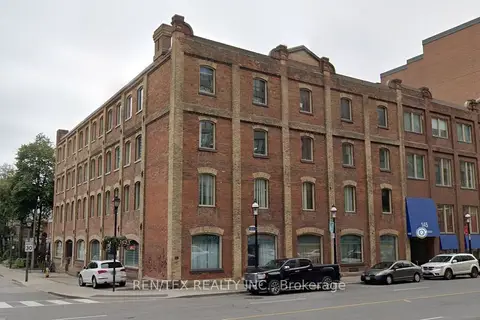
$20/mo
145 Front Street E 208
Waterfront Communities C8, Toronto
Office · MLS® C11922858 · REN/TEX REALTY INC.
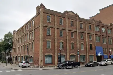
$20/mo
145 Front Street E 205
Waterfront Communities C8, Toronto
Office · MLS® C11922860 · REN/TEX REALTY INC.
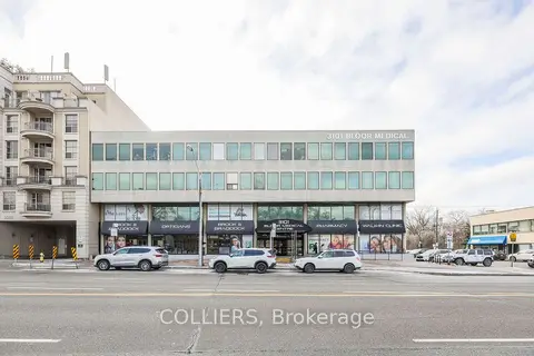
$25/mo
3101 Bloor Street W 311
Stonegate-Queensway, Toronto
Office · MLS® W8319470 · COLLIERS
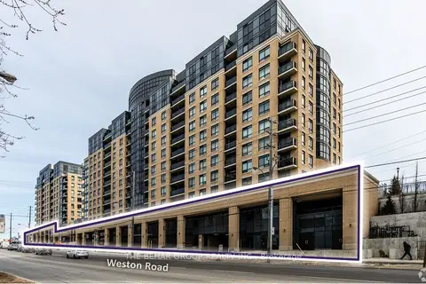
$25/mo
3443 Weston Road
Humbermede, Toronto
Commercial Retail · MLS® W9033320 · THE BEHAR GROUP REALTY INC.
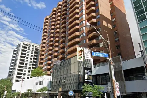
$25/mo
79 St Clair Avenue E 109
Rosedale-Moore Park, Toronto
Commercial Retail · MLS® C10424394 · HARVEY KALLES REAL ESTATE LTD.