124 Merton Street 508
Mount Pleasant West, Toronto, M4S 2Z2
$10/mo
Reduced $7 from $17
Listed 204 days ago · MLS® C12936800
About this home
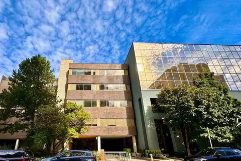
NEW PROMOTIONAL RATE: Year 1 discounted rate available for the first 2 qualified tenants who sign a min. 5-year lease before Oct 31, 2026! PLUS a limited-time incentive of 2 months net-free rent during the initial term, and Landlord-offered custom flooring/upgrade packages for select units. Flexible terms & various unit sizes available.Take your business to the next level in Midtown Toronto, in the heart of Davisville Village! This prime, centrally located Boutique Designer building known as "The Empress Building" is steps from TTC transit & abundant local amenities. Onsite management, daily cleaning, elevators, accessible washrooms, staff underground parking, & a unique 2nd-floor patio courtyard. Welcoming ambience suited for professional offices, clinical/supportive services, and creative uses.This unit has four similar sized offices (one with a lot of natural light) and two separate rooms that can be small offices or storage. There is also a reception area, and a kitchenette with lots of natural light.
Details
- Type
- Office
- Age
- 31-50 years
- Garage
- Underground
- Property tax
- $15 (2026)
- Neighbourhood
- Mount Pleasant West
- Municipality
- Toronto C10
Heating, cooling and services
- Heating
- Baseboard
- Air conditioning
- Yes
- Water and sewer
- Sanitary+Storm
- Utilities
- Yes
Building and exterior
- Age
- 31-50 years
- Building area
- 1,290 Square Feet
Rental terms
- Minimum term
- 24 months
More
- Possession
- TBA
- Cross street
- Yonge St. & Davisville Av.
Location
Location is approximate. See nearby homes on the map
The neighbourhood
Getting around Very walkable
- 🚇 Davisville Subway6 min walk
- 🚇 St. Clair Subway16 min walk
- 🚆 Toronto Union Station GO5.9 km
Within a 10-minute walk: 9 grocery stores, 73 cafés and restaurants, 15 parks, 7 pharmacies. Nearest grocery: Sobeys Urban Fresh (250 m). Nearest park: Al Green Sculpture Park (200 m).
Schools nearby
Elementary
- Davisville Junior Public School
EQAO: Gr 6 reading 92%, math 92%5 min walk - The York School - Junior Campus Private9 min walk
- Deer Park Junior and Senior Public School
EQAO: Gr 6 reading 89%, math 68%12 min walk - Sunnybrook School Private13 min walk
Secondary
- Hodgson Middle School12 min walk
EQAO: share of students meeting the provincial standard (2024–25). Ontario average: Gr 6 reading 86%, math 51%; Gr 9 math 55%; literacy test 83%.
Closest schools, not school zones. Check which school serves this address with the school board before relying on it.
Who lives here postal area M4S
- Owners / renters
- 39% / 61%
- Median household income
- $88,000
- Average age
- 41
- Children under 15
- 13%
- Homes
- 12% detached, 68% high-rise
- Commute by transit
- 39%
- Population
- 30,754
Languages spoken most at home besides English: Spanish 2.1%, Iranian Persian 1.9%, Portuguese 1.7%, Korean 1.5%.
Flood and conservation No mapped hazard
Not inside a mapped flood plain or regulated area.
Screening maps only. Ask the conservation authority for a property inquiry before relying on this.
Safety
Major crime per resident in South Eglinton-Davisville (2025): 49% below the Toronto average, down 11% from the year before.
- Assault43% below average
- Break and enter32% below average
- Auto theft74% below average
- Robbery69% below average
- Theft from vehicles53% below average
- Shootingsnone reported
Crime Severity Index for Toronto police: 60 vs 57 for Ontario (2025).
Police-reported figures for the whole neighbourhood, not this street. Rates use the area’s resident population.
Development nearby 25 active
-
22 DAVISVILLE AVE · 350 mOfficial Plan / Zoning By-law Amendment · Council Approved · applied 2026The current proposal seeks to add an additional 10 storeys to each tower resulting in a total height of 48 and 55 storeys (165.3 metres and 186.3 metres to the…Application details
-
1960 YONGE ST · 450 mOfficial Plan / Zoning By-law Amendment · Under Review · applied 2026Zoning By-law Amendment for a 45-storey mixed-use building. The building will contain 379 residential units, 9 of which are rental replacement units, with…Application details
-
267 MERTON ST · 350 mSite Plan · NOAC Issued · applied 2025Site Plan for a 40-storey mixed use purpose built rental building with 494 dwelling units, of which 30% will be affordable rental units. A total gross floor…Application details
-
170 MERTON ST · 100 mSite Plan · Under Review · applied 2025Site Plan Approval for a 36-storey mixed-use residential building, which includes the partial retention of the existing heritage building at 170 Merton Street.…Application details
-
1951 YONGE ST · 400 mSite Plan · NOAC Issued · applied 2023Proposed 38 and 45 storey towers, plus MPH, totaling 59,998.22 sq.m. residential GFA and 5,873.08 sq.m. non-residential for an FSI of 11.47. 818 units are…Application details
-
64 MERTON ST · 150 mOfficial Plan / Zoning By-law Amendment · Appeal Received · applied 2022Official Plan Amendment application to permit a 46-storey mixed use building with 581residential units, with site-specific relief from office replacement…Application details
35 more within 500 m.
Rezoning, site plan, subdivision and condominium applications filed with the city.
Distances are approximate. Places © OpenStreetMap contributors. Neighbourhood figures: Statistics Canada, 2021 Census. School results: EQAO via Ontario Data Catalogue (Open Government Licence – Ontario). Neighbourhood crime: Toronto Police Service Public Safety Data Portal (Open Government Licence – Toronto Police Service). Crime Severity Index: Statistics Canada. Planning applications: City of Toronto open data.
Living here
Commute
To Union Station (downtown Toronto): 6 km. Transit times · Driving times
Noise Nothing major nearby
No highway within 500 m, rail line within 300 m, or airport flight path nearby.
Distances from the map, not noise measurements. Visit at rush hour to judge for yourself.
What can be built CR
Commercial Residential (with a site-specific exception).
From Toronto’s Zoning By-law 569-2013 map. Lot size, setbacks and trees decide what actually fits; check with a planner before you buy.
Building permits
- Other · 2020 · Permit IssuedProposed exterior renovation for structural beam replacement and installation of a new oil interceptor in an existing transformer vault…
- Interior Alterations · 2017 · ClosedConstruct interior alterations (266m2)
14 permits on this block of the street in the last 2 years, including 1 new home.
Permits filed with the City of Toronto. A permit doesn’t mean the work passed final inspection.
Trees
30 City street trees within 100 m, mostly maples. That’s fewer than the Toronto average of 42.
Trees on City boulevards only, not private yards or parks.
Internet High-speed
50/10 Mbps or faster available here by cable, fibre or DSL (the federal high-speed target).
From the federal broadband map. Check exact speeds and providers for the address.
Zoning, heritage, building permits and street trees: City of Toronto open data (Open Government Licence – Toronto). Roads, rail, airports and planned stations © OpenStreetMap contributors. Internet: Innovation, Science and Economic Development Canada, National Broadband Data.
Listed by ROYAL LEPAGE ESTATE REALTY.
Listing information provided by PropTx Innovations Inc. and TRREB; deemed reliable but not guaranteed accurate by PropTx.
Similar homes nearby
See more in Toronto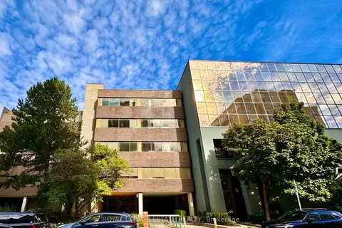
$10/mo
Reduced $7
124 Merton Street 202
Mount Pleasant West, Toronto
Office · MLS® C12936788 · ROYAL LEPAGE ESTATE REALTY
$10/mo
Reduced $7
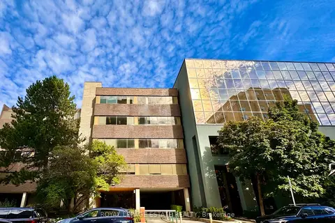
124 Merton Street 509
Mount Pleasant West, Toronto
Office · MLS® C12936798 · ROYAL LEPAGE ESTATE REALTY
$10/mo
Reduced $7
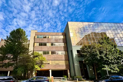
124 Merton Street 305
Mount Pleasant West, Toronto
Office · MLS® C12936810 · ROYAL LEPAGE ESTATE REALTY
$10/mo
Reduced $7
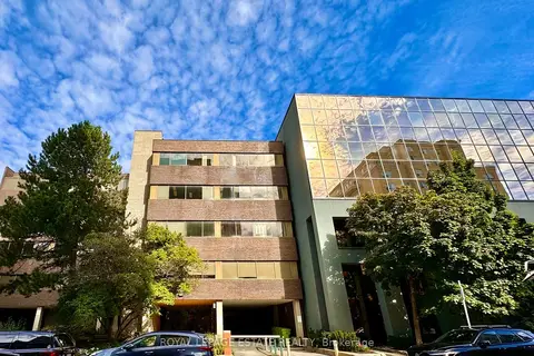
124 Merton Street 307
Mount Pleasant West, Toronto
Office · MLS® C12936828 · ROYAL LEPAGE ESTATE REALTY
$10/mo
Reduced $7
124 Merton Street 203
Mount Pleasant West, Toronto
Office · MLS® C12936830 · ROYAL LEPAGE ESTATE REALTY
$10/mo
Reduced $7
124 Merton Street 301A
Mount Pleasant West, Toronto
Office · MLS® C12938908 · ROYAL LEPAGE ESTATE REALTY
$10/mo
124 Merton Street 305A
Mount Pleasant West, Toronto
Office · MLS® C13625950 · ROYAL LEPAGE ESTATE REALTY
$10/mo
124 Merton Street 404
Mount Pleasant West, Toronto
Office · MLS® C13625952 · ROYAL LEPAGE ESTATE REALTY