120 Carlton Street 404
Cabbagetown-South St. James Town, Toronto, M5A 4K2
$429,000
Listed 104 days ago · MLS® C13535480
About this home
Clean, Bright, & Spacious Office, Mins Walk To College Subway Station (Yonge St & College St).Unobstructed View Corner Office, Fully Updated Throughout, Fully Furnished Office, With A Kitchenette (Water Access). The Zoning Allows For Multi-Use, Such As: Office Use (Perfect For Lawyer, Accountant & Therapist), Medical Clinic/Office, Art Gallery, Artist Studio, Education Use, Financial Institution, Massage Therapy, Production Studio, Wellness Centre and Much More! Please See Attached List Of Permitted Uses. Unit Is Available Vacant. The Unit Offers Four (4)Spacious Rooms, With A Large Front Foyer For Reception. Lots of Storage Within The Unit! One Parking Included (Parking Close Proximity To Building Access). The Building Has Great Amenities Such As Five Board Rooms, Fitness Gym & Fitness Studio, Heated Indoor Pool, Squash/Raquet ball Courts, Sauna, Whirlpool, Party Room, Library, Billiard Room And Concierge. Please See Attached Floor Plan.
Details
- Type
- Office
- Garage
- Underground
- Property tax
- $5,295 (2025)
- Neighbourhood
- Cabbagetown-South St. James Town
- Municipality
- Toronto C08
Heating, cooling and services
- Heating
- Gas Forced Air Closed
- Air conditioning
- Yes
- Utilities
- Available
Building and exterior
- Building area
- 1,201 Square Feet
More
- Possession
- TBA
- Cross street
- Carlton & Jarvis St
- Business type
- Professional Office
History of this address
1 earlier listing at this address, with sold and leased prices. Create a free account or sign in to see them.
Location
Location is approximate. See nearby homes on the map
Recent sales nearby
See what similar homes within 1 km sold for in the last year. Create a free account or sign in to see them.
The neighbourhood
Getting around Very walkable
- 🚇 College Subway9 min walk
- 🚇 Wellesley Subway11 min walk
- 🚆 Toronto Union Station GO2.0 km
Within a 10-minute walk: 25 grocery stores, 309 cafés and restaurants, 28 parks, 34 pharmacies. Nearest grocery: Little Bee Supermarket (150 m). Nearest park: Montague Parkette (150 m).
Schools nearby
Elementary
- Church Street Junior Public School
EQAO: Gr 6 reading 84%, math 45%4 min walk - Our Lady of Lourdes Catholic School Catholic
EQAO: Gr 6 reading 80%, math 43%6 min walk - Winchester Junior and Senior Public School
EQAO: Gr 6 reading 89%, math 57%9 min walk - École élémentaire Gabrielle-Roy French
EQAO: Gr 6 reading 100%, math 88%11 min walk
Secondary
- Collège français French2 min walk
- Native Learning Centre4 min walk
- Jarvis Collegiate Institute
EQAO: Gr 9 math 34%, literacy test 80%6 min walk
EQAO: share of students meeting the provincial standard (2024–25). Ontario average: Gr 6 reading 86%, math 51%; Gr 9 math 55%; literacy test 83%.
Closest schools, not school zones. Check which school serves this address with the school board before relying on it.
Who lives here postal area M5A
- Owners / renters
- 35% / 65%
- Median household income
- $71,000
- Average age
- 40
- Children under 15
- 9%
- Homes
- 0% detached, 78% high-rise
- Commute by transit
- 28%
- Population
- 48,978
Languages spoken most at home besides English: Bengali 1.8%, Mandarin 1.7%, Yue (Cantonese) 1.5%, Spanish 1.3%.
Flood and conservation No mapped hazard
Not inside a mapped flood plain or regulated area.
Screening maps only. Ask the conservation authority for a property inquiry before relying on this.
Safety
Major crime per resident in Cabbagetown-South St.James Town (2025): 26% above the Toronto average, down 8% from the year before.
- Assault40% above average
- Break and enter70% above average
- Auto theft59% below average
- Robbery85% above average
- Theft from vehiclesabout average
- Shootingsnone reported
Crime Severity Index for Toronto police: 60 vs 57 for Ontario (2025).
Police-reported figures for the whole neighbourhood, not this street. Rates use the area’s resident population.
Development nearby 20 active
-
405 SHERBOURNE ST · 300 mSite Plan · Application Received · applied 2026Site Plan Control Application for a 35-storey (112.6) metre building (excluding mechanical penthouse) 25,069 square metres of residential gross floor area and…Application details
-
349 GEORGE ST · 300 mOfficial Plan / Zoning By-law Amendment · Under Review · applied 2025Lift the Hold application related to a new 10-storey building, containing 80 emergency shelter beds, 100 transitional shelter beds, 124 long-term care beds, 70…Application details
-
114 MAITLAND ST · 350 mSite Plan · Under Review · applied 2025Site Plan Approval for a 56-storey mixed-use building. The proposed building contains a total of 579 dwelling units, of which 36 are rental replacement units,…Application details
-
211 GERRARD ST E · 450 mSite Plan · Under Review · applied 2025Site Plan Approval for a 10-storey mixed use building with 60 purpose-built rental units and commercial uses at grade.Application details
-
114 MAITLAND ST · 350 mOfficial Plan / Zoning By-law Amendment · OMB Appeal · applied 2025Combined Official Plan & Zoning By-law Amendment for a 56-storey mixed-use building. The proposed building contains a total of 579 dwelling units, of which 36…Application details
-
506 CHURCH ST · 400 mSite Plan · OMB Appeal · applied 2024Site Plan Approval for a 48 storey mixed use building and restoration to the heritage protected properties at 508-510 Church St. Approximately 4390 square…Application details
28 more within 500 m.
Rezoning, site plan, subdivision and condominium applications filed with the city.
Distances are approximate. Places © OpenStreetMap contributors. Neighbourhood figures: Statistics Canada, 2021 Census. School results: EQAO via Ontario Data Catalogue (Open Government Licence – Ontario). Neighbourhood crime: Toronto Police Service Public Safety Data Portal (Open Government Licence – Toronto Police Service). Crime Severity Index: Statistics Canada. Planning applications: City of Toronto open data.
Living here
Commute
To Union Station (downtown Toronto): 2 km. Transit times · Driving times
Coming transit
- 🚧 Moss Park 1.0 km
- 🚧 Queen 1.2 km
- 🚧 Osgoode 1.5 km
Stations under construction or approved. Opening dates are the latest public estimates and often move.
Noise Nothing major nearby
No highway within 500 m, rail line within 300 m, or airport flight path nearby.
Distances from the map, not noise measurements. Visit at rush hour to judge for yourself.
What can be built CR
Commercial Residential (with a site-specific exception).
From Toronto’s Zoning By-law 569-2013 map. Lot size, setbacks and trees decide what actually fits; check with a planner before you buy.
Building permits
- Fire Alarm · 2026 · Permit IssuedProposal for replacement of fire alarm control panel
- Garage Repair/Reconstruction · 2024 · ClosedTargeted post-tensioning cable repairs to the tower and garage structures, including associated elastomeric waterproofing repairs in the…
- Interior Alterations · 2021 · Permit IssuedProposal for interior alterations to existing commerical unit 219
- Interior Alterations · 2021 · ClosedProposed wall alterations for new DHW boiler for commercial retail areas (20 209280 MSA)
- Interior Alterations · 2021 · Permit IssuedProposal for interior alterations to office space in units 203 & 204 in the existing office building, scope of work includes removal and…
12 permits on this block of the street in the last 2 years.
Permits filed with the City of Toronto. A permit doesn’t mean the work passed final inspection.
Trees
45 City street trees within 100 m. That’s about the Toronto average of 42.
Trees on City boulevards only, not private yards or parks.
Internet High-speed
50/10 Mbps or faster available here by cable, fibre or DSL (the federal high-speed target).
From the federal broadband map. Check exact speeds and providers for the address.
Zoning, heritage, building permits and street trees: City of Toronto open data (Open Government Licence – Toronto). Roads, rail, airports and planned stations © OpenStreetMap contributors. Internet: Innovation, Science and Economic Development Canada, National Broadband Data.
Listed by RE/MAX REALTRON REALTY INC..
Listing information provided by PropTx Innovations Inc. and TRREB; deemed reliable but not guaranteed accurate by PropTx.
Similar homes nearby
See more in Toronto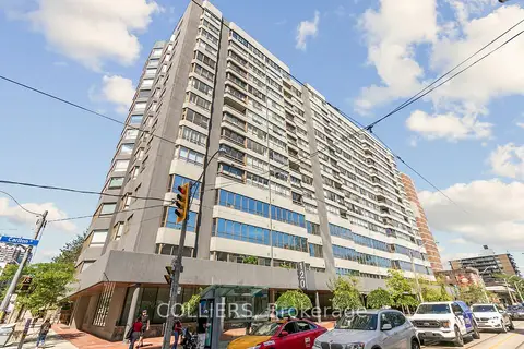
$429,900
120 Carlton Street 415
Cabbagetown-South St. James Town, Toronto
Office · MLS® C12346498 · COLLIERS
$399,000
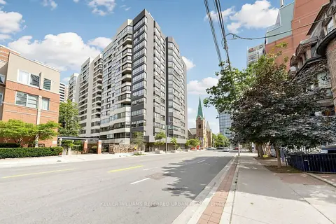
120 Carlton Street 418
Cabbagetown-South St. James Town, Toronto
Office · MLS® C13713726 · KELLER WILLIAMS REFERRED URBAN REALTY
$429,000
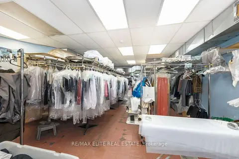
Address withheld · University
University, Toronto
Sale Of Business · MLS® C13812390 · 100% PARTNERS REAL ESTATE
$429,000
1 ba
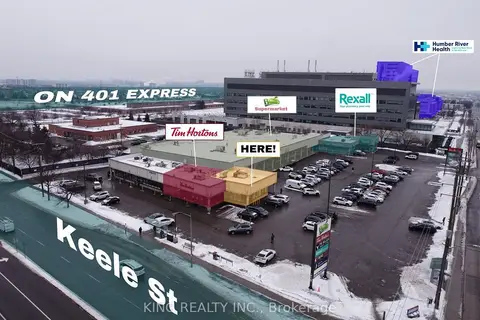
2712 KEELE Street
Downsview-Roding-CFB, Toronto
Sale Of Business · MLS® W13504020 · KING REALTY INC.
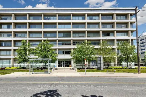
$428,000
220 Duncan Mill Road A3
St. Andrew-Windfields, Toronto
Office · MLS® C13581582 · RE/MAX REALTRON REALTY INC.
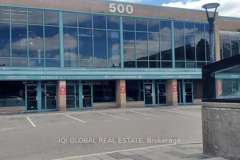
$430,000
1 ba
Address withheld · Victoria Village
Victoria Village, Toronto
Office · MLS® C13730098 · IQI GLOBAL REAL ESTATE
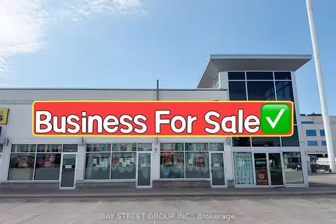
$428,000
Reduced $92,000
3250 Midland Avenue G101 & G105
Milliken, Toronto
Sale Of Business · MLS® E13216810 · BAY STREET GROUP INC.
$425,000
Reduced $275,000
2 ba
1123 Albion Road
Rexdale-Kipling, Toronto
Sale Of Business · MLS® W13521452 · HOMELIFE/MIRACLE REALTY LTD