12 Mayflower Avenue
Crown Point, Hamilton, L8L 2K4
$505,000
- 4 bedrooms
- 2 bathrooms
- 1 parking
- 1100-1500 sq ft
Listed 103 days ago · MLS® X13541324
About this home
12 Mayflower Avenue, Hamilton is an investment property within a portfolio. A single detached home operated as a four-room rental, offered at a 5.61% in-place cap rate on current rents. This fully-tenanted property generates $36,000 in gross annual rent and $28,334 NOI at an asking price of $505,000.The home is configured with 3 bedrooms and a bath upstairs and 1 bedroom on the main floor, plus a bathroom in the basement. Three tenants pay $750/month each in cash rent, while the fourth room is occupied by a tenant who performs maintenance and repairs in lieu of cash rent, valued at the same $750/month - gross rent is shown inclusive of this in-kind arrangement. This property carries the lowest operating-expense load in the portfolio, so every additional dollar of room rent converts to NOI at an unusually high rate. One of the four rooms is already month-to-month, with the remainder repositionable to market as tenancies turn. The detached home sits on its own lot, offering a new owner long-term flexibility - whether continued as a room rental, converted to a single-family lease, or held for appreciation.
Details
- Type
- Detached
- Style
- 2-Storey
- Size
- 1100-1500 sq ft
- Lot
- 19 × 90 ft
- Basement
- Unfinished
- Garage
- None
- Kitchens
- 1
- Property tax
- $2,280 (2025)
- Neighbourhood
- Crown Point
- Municipality
- Hamilton
- Price per sq ft
- $388 (13% below detached houses in Crown Point, $444)
Interior
- Bedrooms
- 4 above ground
- Bathrooms
- 2 × 3-piece
- Rooms
- 5 above ground
- Family room or den
- No
- Fireplace
- No
Heating, cooling and services
- Heating
- Forced Air, Gas
- Air conditioning
- Central Air
- Water and sewer
- Sewer
Building and exterior
- Style
- 2-Storey
- Exterior
- Board & Batten
- Roof
- Asphalt Shingle
- Faces
- South
Parking
- Total parking
- 1
Lot
- Size
- 19 × 90 ft
More
- Possession
- Available
- Cross street
- Mayflower Ave. & Gage Ave. N
History of this address
1 earlier listing at this address, with sold and leased prices. Create a free account or sign in to see them.
Location
Location is approximate. See nearby homes on the map
Recent sales nearby
See what similar homes within 1 km sold for in the last year. Create a free account or sign in to see them.
The neighbourhood
Getting around Very walkable
- 🚆 Hamilton GO Centre3.4 km
Within a 10-minute walk: 3 grocery stores, 25 cafés and restaurants, 6 parks, 3 pharmacies. Nearest grocery: FreshCo (500 m). Nearest park: Belview Park (350 m).
Schools nearby
Elementary
- Holy Name of Jesus Catholic Elementary School Catholic
EQAO: Gr 6 reading 86%, math 31%5 min walk - Prince of Wales Elementary Public School
EQAO: Gr 6 reading 79%, math 49%7 min walk - Memorial Public School
EQAO: Gr 6 reading 72%, math 30%14 min walk - St. Ann Catholic Elementary School Catholic
EQAO: Gr 6 reading 88%, math 52%14 min walk
Secondary
- Bernie Custis Secondary School
EQAO: Gr 9 math 36%, literacy test 65%5 min walk - St. Charles Adult & Continuing Education Centre - Downtown East Campus Catholic16 min walk
- Cathedral High School Catholic
EQAO: Gr 9 math 43%, literacy test 64%1.7 km
EQAO: share of students meeting the provincial standard (2024–25). Ontario average: Gr 6 reading 86%, math 51%; Gr 9 math 55%; literacy test 83%.
Closest schools, not school zones. Check which school serves this address with the school board before relying on it.
Who lives here postal area L8L
- Owners / renters
- 52% / 48%
- Median household income
- $65,000
- Average age
- 38
- Children under 15
- 17%
- Homes
- 50% detached, 11% high-rise
- Commute by transit
- 14%
- Population
- 32,312
Languages spoken most at home besides English: Portuguese 2.7%, Arabic 1.5%, Vietnamese 1.4%, Spanish 1.2%.
Flood and conservation No mapped hazard
Not inside a mapped flood plain or regulated area in Niagara Peninsula Conservation’s mapping.
Screening maps only. Ask the conservation authority for a property inquiry before relying on this.
Safety
Crime Severity Index for Hamilton police: 62 vs 57 for Ontario (2025).
Police-reported figures for the whole police service area, not this street. Rates use the area’s resident population.
Distances are approximate. Places © OpenStreetMap contributors. Neighbourhood figures: Statistics Canada, 2021 Census. School results: EQAO via Ontario Data Catalogue (Open Government Licence – Ontario). Flood and regulation mapping: Niagara Peninsula Conservation open data. Crime Severity Index: Statistics Canada.
Living here
Commute
To downtown Hamilton: 4 km. Transit times · Driving times
Noise Nothing major nearby
No highway within 500 m, rail line within 300 m, or airport flight path nearby.
Distances from the map, not noise measurements. Visit at rush hour to judge for yourself.
Internet High-speed
50/10 Mbps or faster available here by cable, fibre or DSL (the federal high-speed target).
From the federal broadband map. Check exact speeds and providers for the address.
Short-term rentals
Only in your principal residence, with a City business licence (since December 2023).
Roads, rail, airports and planned stations © OpenStreetMap contributors. Internet: Innovation, Science and Economic Development Canada, National Broadband Data.
Listed by EXP REALTY.
Listing information provided by PropTx Innovations Inc. and TRREB; deemed reliable but not guaranteed accurate by PropTx.
Similar homes nearby
See more in Hamilton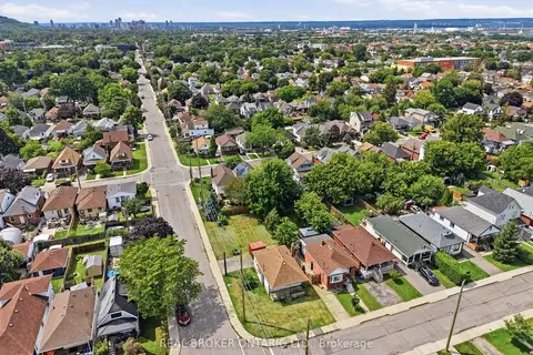
$499,900
2 bd1 ba3 pk< 700 ft²
67 Huxley Avenue N
Crown Point, Hamilton
Detached · MLS® X13621782 · REAL BROKER ONTARIO LTD.
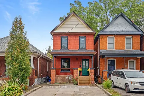
$499,900
Reduced $19,100
3 bd1 ba3 pk700-1100 ft²
24 Belview Avenue
Crown Point, Hamilton
Detached · MLS® X13855410 · RE/MAX ESCARPMENT REALTY INC.
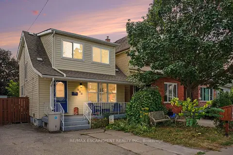
$499,000
3 bd2 ba3 pk1100-1500 ft²
146 Belmont Avenue
Crown Point, Hamilton
Detached · MLS® X13842844 · RE/MAX ESCARPMENT REALTY INC.
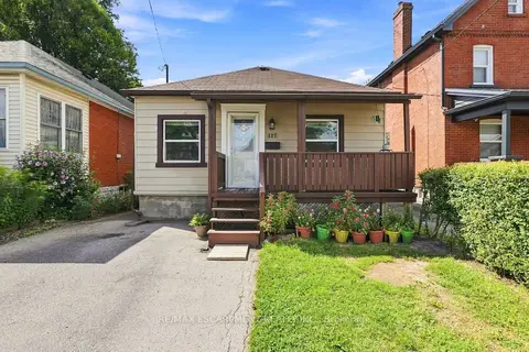
$519,000
Reduced $15,999
2+1 bd2 ba1 pk700-1100 ft²
127 Park Row N
Crown Point, Hamilton
Detached · MLS® X13719462 · RE/MAX ESCARPMENT REALTY INC.
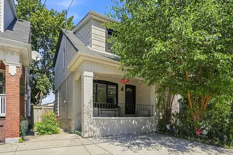
$489,000
Reduced $10,000
3 bd1 ba2 pk700-1100 ft²
463 Dunsmure Avenue
Crown Point, Hamilton
Detached · MLS® X13697712 · RE/MAX ESCARPMENT GOLFI REALTY INC.
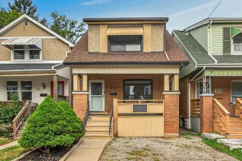
$524,900
4 bd2 ba2 pk1100-1500 ft²
103 Belmont Avenue
Crown Point, Hamilton
Detached · MLS® X13852122 · RE/MAX ESCARPMENT REALTY INC.
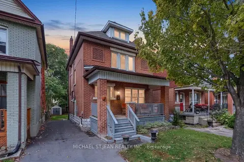
$479,900
4 bd1 ba4 pk1100-1500 ft²
105 Balmoral Avenue N
Crown Point, Hamilton
Detached · MLS® X14083712 · MICHAEL ST.JEAN REALTY INC.
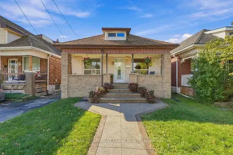
$475,900
3+1 bd2 ba1 pk1100-1500 ft²
42 DALHOUSIE Avenue
Crown Point, Hamilton
Detached · MLS® X14029276 · RE/MAX ESCARPMENT FRANK REALTY