1187 Hurontario Street
Mineola, Mississauga, L5G 3H2
$2,050,000
Listed 26 days ago · MLS® W13824998
About this home
Prime mixed-use investment opportunity in Mississauga's sought-after Port Credit neighbourhood, offered at $2,050,000 with a 7.01% cap rate and annual NOI of $143,708.69. The property is fully leased and provides 5,872 SF of net rentable area, including two street-facing retail units, two second-floor residential units, two storage units and a leased back lot. Situated on a 5,393 SF corner lot, the property offers more than 150 feet of high-visibility wraparound frontage along Hurontario Street and Eaglewood Boulevard, with nine surface parking spaces. Located approximately 300 metres from Port Credit GO Station and near the future Hurontario LRT. A Phase II Environmental Site Assessment has been completed, with no further environmental investigation required.
Details
- Type
- Commercial Retail
- Lot
- 37.43 × 124 ft
- Garage
- Plaza
- Property tax
- $17,088 (2026)
- Neighbourhood
- Mineola
- Municipality
- Mississauga
Heating, cooling and services
- Heating
- Gas Forced Air Open
- Air conditioning
- Yes
- Utilities
- Yes
Building and exterior
- Building area
- 3,442 Square Feet
More
- Possession
- TBA
- Cross street
- Hurontario Street & Lakeshore Rd E
- Business type
- Retail Store Related
Location
Location is approximate. See nearby homes on the map
Recent sales nearby
See what similar homes within 1 km sold for in the last year. Create a free account or sign in to see them.
The neighbourhood
Getting around Very walkable
- 🚆 Port Credit GO5 min walk
Within a 10-minute walk: 3 grocery stores, 38 cafés and restaurants, 4 parks, 4 pharmacies. Nearest grocery: Cousin's Market (100 m). Nearest park: Harold E. Kennedy Park (450 m).
Schools nearby
Elementary
- Forest Avenue Public School
EQAO: Gr 6 reading 80%, math 40%5 min walk - Mineola Public School
EQAO: Gr 6 reading 93%, math 63%7 min walk - Mentor College Primary Campus Private12 min walk
- Kenollie Public School
EQAO: Gr 6 reading 94%, math 59%14 min walk
Secondary
- Port Credit Secondary School
EQAO: Gr 9 math 70%, literacy test 91%6 min walk - Queen Elizabeth Senior Public School1.3 km
EQAO: share of students meeting the provincial standard (2024–25). Ontario average: Gr 6 reading 86%, math 51%; Gr 9 math 55%; literacy test 83%.
Closest schools, not school zones. Check which school serves this address with the school board before relying on it.
Who lives here postal area L5G
- Owners / renters
- 57% / 43%
- Median household income
- $95,000
- Average age
- 44
- Children under 15
- 14%
- Homes
- 43% detached, 38% high-rise
- Commute by transit
- 11%
- Population
- 20,714
Languages spoken most at home besides English: Polish 2%, Mandarin 1.3%, Spanish 1%, Russian 0.7%.
Flood and conservation No mapped hazard
Not inside a mapped flood plain or regulated area in Credit Valley Conservation’s mapping.
Screening maps only. Ask the conservation authority for a property inquiry before relying on this.
Safety
Crime Severity Index for Peel Region (Mississauga/Brampton) police: 59 vs 57 for Ontario (2025).
Police-reported figures for the whole police service area, not this street. Rates use the area’s resident population.
Development nearby 4 active
-
1148 Mona Rd · 450 mDevelopment application · In process · applied 2025Holding removal (10 homes)
-
46 Park Street East · 450 mDevelopment application · In process · applied 2025Revised site plan for 30 stories and 315 units (previously 35 tower residential building, 444 units) (444 homes)
-
19 Ann Street · 400 mDevelopment application · In process · applied 2025Residential apartment building with retail uses (362 homes)
-
88 Park Street East · 300 mDevelopment application · In process · applied 2025Site plan for two 21 mixed use towers (819 homes)
Rezoning, site plan, subdivision and condominium applications filed with the city.
Distances are approximate. Places © OpenStreetMap contributors. Neighbourhood figures: Statistics Canada, 2021 Census. School results: EQAO via Ontario Data Catalogue (Open Government Licence – Ontario). Flood and regulation mapping: Credit Valley Conservation open data. Crime Severity Index: Statistics Canada. Planning applications: City of Mississauga open data.
Living here
Commute
To Union Station (downtown Toronto): 19 km. Transit times · Driving times
Coming transit
- 🚧 Port Credit Hazel McCallion LRT250 m · opening about 2029
- 🚧 Mineola Hazel McCallion LRT450 m · opening about 2029
- 🚧 North Service Hazel McCallion LRT1.7 km · opening about 2029
Stations under construction or approved. Opening dates are the latest public estimates and often move.
Noise 1 source nearby
- 🚆 Rail line (Oakville Subdivision)200 m
Distances from the map, not noise measurements. Visit at rush hour to judge for yourself.
Internet High-speed
50/10 Mbps or faster available here by cable, fibre or DSL (the federal high-speed target).
From the federal broadband map. Check exact speeds and providers for the address.
Roads, rail, airports and planned stations © OpenStreetMap contributors. Internet: Innovation, Science and Economic Development Canada, National Broadband Data.
Listed by RE/MAX REALTY ENTERPRISES INC..
Listing information provided by PropTx Innovations Inc. and TRREB; deemed reliable but not guaranteed accurate by PropTx.
Similar homes nearby
See more in Mississauga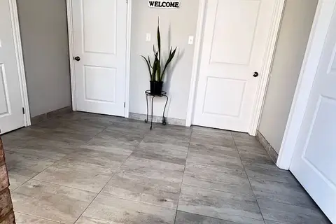
$2,079,000
3 ba
6731 Columbus Road 9 & 10
Northeast, Mississauga
Industrial · MLS® W13823802 · SUTTON GROUP QUANTUM REALTY INC.
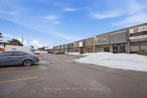
$1,999,000
1 ba
1200 Lorimar Drive 7-8
Northeast, Mississauga
Industrial · MLS® W12787540 · RE/MAX REALTY SPECIALISTS INC.
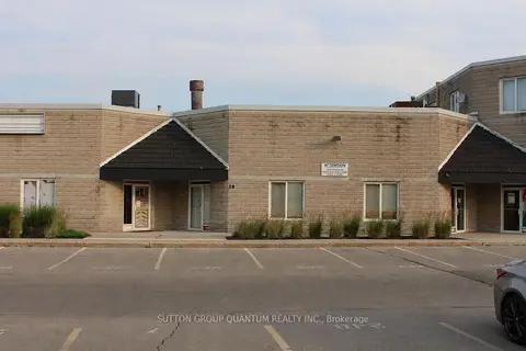
$1,950,000
2 ba
2359 Royal Windsor Drive 28
Southdown, Mississauga
Industrial · MLS® W13570598 · SUTTON GROUP QUANTUM REALTY INC.
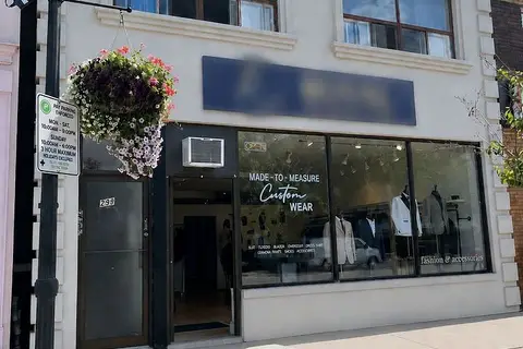
$1,945,000
299 Lakeshore Road E
Port Credit, Mississauga
Store W Apt/Office · MLS® W13468884 · ROYAL LEPAGE REAL ESTATE SERVICES PHINNEY REAL EST
$1,899,999
2 ba
1315 Derry Road E 4
Northeast, Mississauga
Commercial Retail · MLS® W13729104 · SMARTWAY REALTY
$2,249,000
6660 Kennedy Road 27
Gateway, Mississauga
Industrial · MLS® W13723934 · REAL BROKER ONTARIO LTD.
$1,800,000
Reduced $600,000
2560 Matheson Boulevard E 217-219
Airport Corporate, Mississauga
Office · MLS® W13479390 · EXIT REALTY APEX
$1,800,000
1195 Lakeshore Road E
Lakeview, Mississauga
Commercial Retail · MLS® W13576424 · ROYAL LEPAGE SIGNATURE REALTY