1170 Burnhamthorpe Road W 30
Mavis-Erindale, Mississauga, L5C 4E6
$100,000
Listed 105 days ago · MLS® W13531262
About this home
Rare opportunity to acquire a modern, fully equipped 2,488 sq. ft. claw machine arcade in a high-visibility SmartCentres plaza. Strategically located in a premier retail hub, the business is surrounded by major grocery anchors, national retailers, and popular restaurants, generating consistent daily foot traffic and excellent exposure. This turnkey operation features a modern, open-concept layout designed to create an engaging customer experience and strong social media appeal. This business has built a loyal and growing customer base with many repeat customers and is a popular destination for birthday parties, private events, corporate gatherings, school outings, and family celebrations, providing multiple revenue streams beyond daily walk-in traffic. This space also includes a drive-in door and storage area which is prefect for receiving and storing inventory. Also includes a separate staff area, office and separate staff washroom. Designed for operational ease with minimal staffing requirements, it offers an excellent opportunity for an owner-operator or investor. Business for sale only. Sale includes all chattels, claw machines, arcade equipment, furniture, fixtures, and existing inventory, allowing for a seamless transition. A rare opportunity to own a trendy, turnkey entertainment business in a high-growth retail location with strong community appeal and significant growth potential.
Details
- Type
- Sale Of Business
- Garage
- Outside/Surface
- Property tax
- $14 (2025)
- Neighbourhood
- Mavis-Erindale
- Municipality
- Mississauga
Heating, cooling and services
- Heating
- Gas Forced Air Open
- Air conditioning
- Yes
More
- Possession
- Flexible
- Cross street
- Burnhamthorpe Rd W & Central Pkwy W
- Business type
- Entertainment
Location
Location is approximate. See nearby homes on the map
Recent sales nearby
See what similar homes within 1 km sold for in the last year. Create a free account or sign in to see them.
The neighbourhood
Getting around Very walkable
- 🚆 Erindale GO7 min walk
Within a 10-minute walk: 3 grocery stores, 38 cafés and restaurants, 4 parks, 4 pharmacies. Nearest grocery: Fresh Palace Supermarket (250 m). Nearest park: Deer Run Park (350 m).
Schools nearby
Elementary
- Al Huda Elementary School7 min walk
- Ellengale Public School
EQAO: Gr 6 reading 93%, math 80%10 min walk - St. David of Wales Separate School Catholic
EQAO: Gr 6 reading 95%, math 45%12 min walk - Queenston Drive Public School
EQAO: Gr 6 reading 83%, math 51%12 min walk
Secondary
- The Woodlands Secondary School1.5 km
EQAO: share of students meeting the provincial standard (2024–25). Ontario average: Gr 6 reading 86%, math 51%; Gr 9 math 55%; literacy test 83%.
Closest schools, not school zones. Check which school serves this address with the school board before relying on it.
Who lives here postal area L5C
- Owners / renters
- 74% / 26%
- Median household income
- $102,000
- Average age
- 42
- Children under 15
- 14%
- Homes
- 45% detached, 15% high-rise
- Commute by transit
- 12%
- Population
- 29,284
Languages spoken most at home besides English: Mandarin 5.7%, Polish 2.7%, Urdu 2.7%, Tagalog (Pilipino, Filipino) 2%.
Flood and conservation No mapped hazard
Not inside a mapped flood plain or regulated area in Credit Valley Conservation’s mapping.
Screening maps only. Ask the conservation authority for a property inquiry before relying on this.
Safety
Crime Severity Index for Peel Region (Mississauga/Brampton) police: 59 vs 57 for Ontario (2025).
Police-reported figures for the whole police service area, not this street. Rates use the area’s resident population.
Development nearby
No planning applications within 500 m in the last five years.
Rezoning, site plan, subdivision and condominium applications filed with the city.
Distances are approximate. Places © OpenStreetMap contributors. Neighbourhood figures: Statistics Canada, 2021 Census. School results: EQAO via Ontario Data Catalogue (Open Government Licence – Ontario). Flood and regulation mapping: Credit Valley Conservation open data. Crime Severity Index: Statistics Canada.
Living here
Commute
To Union Station (downtown Toronto): 24 km. Transit times · Driving times
Noise 1 source nearby
- 🚆 Rail line (Galt Subdivision)250 m
Distances from the map, not noise measurements. Visit at rush hour to judge for yourself.
Internet High-speed
50/10 Mbps or faster available here by cable, fibre or DSL (the federal high-speed target).
From the federal broadband map. Check exact speeds and providers for the address.
Roads, rail, airports and planned stations © OpenStreetMap contributors. Internet: Innovation, Science and Economic Development Canada, National Broadband Data.
Listed by NORMAN HILL REALTY INC..
Listing information provided by PropTx Innovations Inc. and TRREB; deemed reliable but not guaranteed accurate by PropTx.
Similar homes nearby
See more in Mississauga
$89,000
1000 Burnhamthorpe Road W 12/13
Mavis-Erindale, Mississauga
Sale Of Business · MLS® W13765914 · BAY STREET GROUP INC.

$100,000
2180 Credit Valley Road 106B
Central Erin Mills, Mississauga
Sale Of Business · MLS® W13668618 · HOMELIFE HEARTS REALTY INC.
$99,000
1 ba
3505 Laird Road #5
Western Business Park, Mississauga
Sale Of Business · MLS® W13477132 · HOMELIFE/MIRACLE REALTY LTD
$99,000
2 ba
151 Queen Street S 200
Streetsville, Mississauga
Sale Of Business · MLS® W13635468 · FOREST HILL REAL ESTATE INC.
$99,000
1550 South Gateway Road 106
Northeast, Mississauga
Sale Of Business · MLS® W13747974 · BAY STREET GROUP INC.

$99,000
Reduced $1,000
4 Robert Speck Parkway 150
City Centre, Mississauga
Sale Of Business · MLS® W13825276 · BEST SELLERS REAL ESTATE LTD.
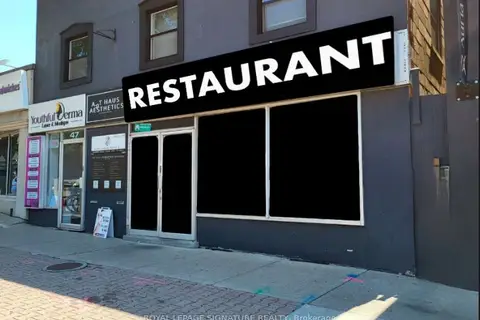
$99,000
47 Lakeshore Road E
Port Credit, Mississauga
Sale Of Business · MLS® W13880042 · ROYAL LEPAGE SIGNATURE REALTY
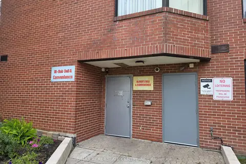
$98,800
2076 Sherobee Road
Cooksville, Mississauga
Sale Of Business · MLS® W13813744 · RE/MAX REAL ESTATE CENTRE INC.