116 Main Street
Woodstock - South, Woodstock, N4S 1S9
$1,250,000
- 2 bathrooms
Listed 97 days ago · MLS® X13565564
About this home
Excellent opportunity to acquire a well-maintained industrial building located on a 0.36-acre site in the City of Woodstock. The property offers approximately 3,615 square feet of functional industrial space, ideally suited for a variety of manufacturing, fabrication, automotive, warehouse, and service-related users. The building features block construction, 14-foot clear ceiling height, and 200-amp/600-volt electrical service. With five (5) drive-in doors, the property provides exceptional loading flexibility and efficient access for a range of operational requirements. Additional features include tube heating, air conditioning, and two washrooms, providing a functional layout for owner-users seeking a versatile industrial facility. Located in Woodstock, one of Southwestern Ontario's strongest industrial markets, 116 Main Street offers convenient access to major transportation routes, including Highways 401 and 403, while benefiting from the city's skilled workforce and growing business environment. This property presents an excellent opportunity for an owner-user or investor seeking a well-located industrial asset with strong functionality and accessibility.
Details
- Type
- Industrial
- Lot
- 120 × 132 ft
- Garage
- None
- Property tax
- $2,976 (2026)
- Neighbourhood
- Woodstock - South
- Municipality
- Woodstock
Interior
- Bathrooms
- 2 × bathroom
Heating, cooling and services
- Air conditioning
- Yes
- Water and sewer
- Sanitary+Storm
- Utilities
- Yes
Building and exterior
- Building area
- 3,615 Square Feet
More
- Possession
- Flexible
- Cross street
- Main St and Ingersoll Rd
- Business type
- Factory/Manufacturing
Location
Location is approximate. See nearby homes on the map
Recent sales nearby
See what similar homes within 1 km sold for in the last year. Create a free account or sign in to see them.
The neighbourhood
Getting around Somewhat walkable
No subway, LRT or GO station within a short trip.
Within a 10-minute walk: no grocery stores, 6 cafés and restaurants, 2 parks, 1 pharmacy. Nearest park: Broadview Park (950 m).
Schools nearby
Elementary
- Holy Family School Catholic
EQAO: Gr 6 reading 86%, math 45%16 min walk - Central Public School
EQAO: Gr 6 reading 69%, math 25%17 min walk - Southside Public School
EQAO: Gr 6 reading 88%, math 54%1.3 km - St. Patrick's School Catholic
EQAO: Gr 6 reading 75%, math 44%1.4 km
Secondary
- Woodstock Collegiate Institute
EQAO: Gr 9 math 54%, literacy test 88%1.3 km - College Avenue Secondary School
EQAO: Gr 9 math 28%, literacy test 66%2.1 km - St. Mary's High School Catholic
EQAO: Gr 9 math 48%, literacy test 82%2.3 km
EQAO: share of students meeting the provincial standard (2024–25). Ontario average: Gr 6 reading 86%, math 51%; Gr 9 math 55%; literacy test 83%.
Closest schools, not school zones. Check which school serves this address with the school board before relying on it.
Who lives here postal area N4S
- Owners / renters
- 66% / 34%
- Median household income
- $78,000
- Average age
- 43
- Children under 15
- 16%
- Homes
- 63% detached, 5% high-rise
- Commute by transit
- 1%
- Population
- 33,055
Languages spoken most at home besides English: Punjabi (Panjabi) 0.5%, Polish 0.3%, Spanish 0.3%, Portuguese 0.2%.
Safety
Crime Severity Index for Woodstock police: 62 vs 57 for Ontario (2025).
Police-reported figures for the whole police service area, not this street. Rates use the area’s resident population.
Distances are approximate. Places © OpenStreetMap contributors. Neighbourhood figures: Statistics Canada, 2021 Census. School results: EQAO via Ontario Data Catalogue (Open Government Licence – Ontario). Crime Severity Index: Statistics Canada.
Living here
Commute
Noise 1 source nearby
- 🚆 Rail line (Dundas Subdivision)50 m
Distances from the map, not noise measurements. Visit at rush hour to judge for yourself.
Internet High-speed
50/10 Mbps or faster available here by cable, fibre or DSL (the federal high-speed target).
From the federal broadband map. Check exact speeds and providers for the address.
Roads, rail, airports and planned stations © OpenStreetMap contributors. Internet: Innovation, Science and Economic Development Canada, National Broadband Data.
Listed by THE BEHAR GROUP REALTY INC..
Listing information provided by PropTx Innovations Inc. and TRREB; deemed reliable but not guaranteed accurate by PropTx.
Similar homes nearby
See more in Woodstock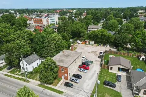
$1,299,000
745 Hounsfield Street
Woodstock - South, Woodstock
Investment · MLS® X13812868 · CENTURY 21 FIRST CANADIAN CORP
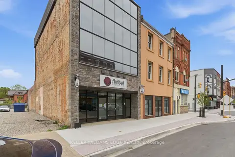
$1,250,000
389 Dundas Street
Woodstock - North, Woodstock
Investment · MLS® X13226380 · KELLER WILLIAMS EDGE REALTY
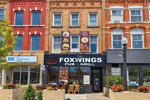 New
$1,050,000
455 Dundas Street
Woodstock - North, Woodstock
Commercial Retail · MLS® X14099160 · REON HOMES REALTY INC.
$1,049,999
85 Bonds Corner Road 12
Woodstock - North, Woodstock
Commercial Retail · MLS® X13623156 · THE FORTUNE REALTY