116 Anne Street S
400 North, Barrie, L4N 6A2
$1,500,000
- 1 bathrooms
Listed 4 days ago · MLS® S14082396
About this home
Prime Corner Location. Flexible Commercial Potential. Located at the prominent corner of Anne Street South and Brock Street in Barrie, 116 Anne St S offers an excellent opportunity for businesses, investors, and entrepreneurs looking for a well-positioned commercial property with versatility. With over 2,000 sq ft of space and zoning that allows for a variety of potential uses, this property provides the flexibility to adapt to your business vision. The corner exposure offers strong visibility and convenient access, while the established Anne Street corridor places you close to major roads, amenities, and the broader Barrie market. Whether you're looking to establish a new business, expand an existing operation, or add a versatile property to your investment portfolio, this location offers plenty of possibilities. Bring your ideas and explore the potential of 116 Anne St S.
Details
- Type
- Commercial Retail
- Lot
- 110.14 × 122.6 ft
- Garage
- Outside/Surface
- Property tax
- $15,057 (2025)
- Neighbourhood
- 400 North
- Municipality
- Barrie
Interior
- Bathrooms
- 1 × bathroom
Heating, cooling and services
- Heating
- Gas Forced Air Open
- Air conditioning
- Yes
- Utilities
- Yes
Building and exterior
- Building area
- 2,198 Square Feet
More
- Possession
- TBD
- Cross street
- Dunlop St W/Anne St S
Location
Location is approximate. See nearby homes on the map
Recent sales nearby
See what similar homes within 1 km sold for in the last year. Create a free account or sign in to see them.
The neighbourhood
Getting around Walkable
- 🚆 Allandale Waterfront GO15 min walk
Within a 10-minute walk: 3 grocery stores, 4 cafés and restaurants, 1 park, 1 pharmacy. Nearest grocery: Naomi Foods African Market (800 m). Nearest park: Brock Park (400 m).
Schools nearby
Elementary
- Allandale Heights Public School
EQAO: Gr 6 reading 89%, math 49%1.5 km - St. Mary's Catholic School Catholic
EQAO: Gr 6 reading 91%, math 36%2.1 km - Hillcrest Public School
EQAO: Gr 6 reading 74%, math 39%2.1 km - Ferndale Woods Elementary School
EQAO: Gr 6 reading 76%, math 65%2.3 km
Secondary
- Unity Christian High School Private12 min walk
- Innisdale Secondary School
EQAO: Gr 9 math 56%, literacy test 88%2.0 km
EQAO: share of students meeting the provincial standard (2024–25). Ontario average: Gr 6 reading 86%, math 51%; Gr 9 math 55%; literacy test 83%.
Closest schools, not school zones. Check which school serves this address with the school board before relying on it.
Who lives here postal area L4N
- Owners / renters
- 71% / 29%
- Median household income
- $97,000
- Average age
- 40
- Children under 15
- 17%
- Homes
- 61% detached, 7% high-rise
- Commute by transit
- 3%
- Population
- 100,835
Languages spoken most at home besides English: Spanish 1%, Russian 0.8%, Portuguese 0.4%, Mandarin 0.4%.
Flood and conservation Flood plain
This address falls inside a mapped flood plain (Lake Simcoe Region Conservation). Building, additions and grading need a permit from the conservation authority, and flood insurance can cost more or be harder to get.
Screening maps only. Ask the conservation authority for a property inquiry before relying on this.
Safety
Crime Severity Index for Barrie police: 59 vs 57 for Ontario (2025).
Police-reported figures for the whole police service area, not this street. Rates use the area’s resident population.
Distances are approximate. Places © OpenStreetMap contributors. Neighbourhood figures: Statistics Canada, 2021 Census. School results: EQAO via Ontario Data Catalogue (Open Government Licence – Ontario). Flood and regulation mapping: Lake Simcoe Region Conservation open data. Crime Severity Index: Statistics Canada.
Living here
Commute
To Union Station (downtown Toronto): 85 km. Transit times · Driving times
Noise Nothing major nearby
No highway within 500 m, rail line within 300 m, or airport flight path nearby.
Distances from the map, not noise measurements. Visit at rush hour to judge for yourself.
Internet High-speed
50/10 Mbps or faster available here by cable, fibre or DSL (the federal high-speed target).
From the federal broadband map. Check exact speeds and providers for the address.
Roads, rail, airports and planned stations © OpenStreetMap contributors. Internet: Innovation, Science and Economic Development Canada, National Broadband Data.
Listed by EXIT REALTY TRUE NORTH.
Listing information provided by PropTx Innovations Inc. and TRREB; deemed reliable but not guaranteed accurate by PropTx.
Similar homes nearby
See more in Barrie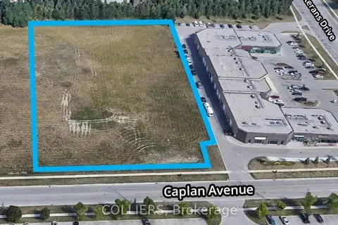
$1,500,000
N/A Caplan Avenue
400 West, Barrie
Land · MLS® S12195762 · COLLIERS
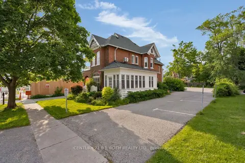
$1,499,900
80 Worsley Street
City Centre, Barrie
Office · MLS® S13233646 · CENTURY 21 B.J. ROTH REALTY LTD.
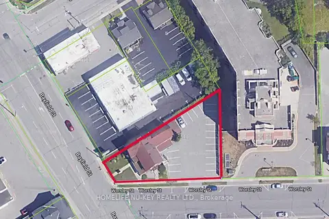
$1,449,999
99 Bayfield Street
City Centre, Barrie
Office · MLS® S13070372 · HOMELIFE NU-KEY REALTY LTD.
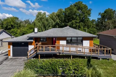
$1,595,000
2 ba
466 Big Bay Point Road
Painswick North, Barrie
Office · MLS® S13773974 · RE/MAX HALLMARK CHAY REALTY
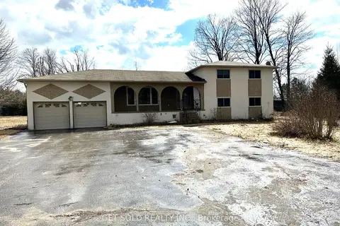
$1,599,000
Reduced $400,000
5 bd2 ba
780 Essa Road E
400 West, Barrie
Land · MLS® S12905478 · GET SOLD REALTY INC.
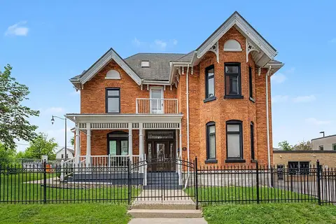
$1,600,000
30 Mary Street
City Centre, Barrie
Office · MLS® S13771922 · RE/MAX HALLMARK PEGGY HILL GROUP REALTY
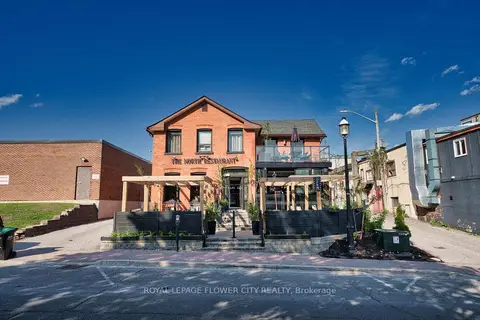
$1,399,900
49 Mary Street
City Centre, Barrie
Commercial Retail · MLS® S13415868 · ROYAL LEPAGE FLOWER CITY REALTY
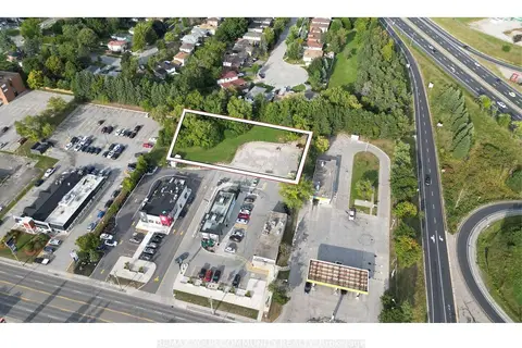
$1,399,000
313 Bayfield Street
Bayfield, Barrie
Land · MLS® S13834648 · REMAX YOUR COMMUNITY REALTY