112 Production Drive 112
Woburn, Toronto, M1H 2X8
$149,000
- 1 bathrooms
Listed 13 days ago · MLS® E13874184
About this home
Rare opportunity to acquire a successful, turnkey custom woodworking and millwork business operating since 2010. The approximately 2,700+ sq. ft. facility plus mezzanine is a fully equipped and well-organized factory, professionally set up to handle high-end custom woodworking projects from start to finish, with quality equipment and infrastructure in place for efficient daily production. The facility includes CNC machine, edge bander, industrial table saw, high quality sanding equipment, dust collection system, compressor, and numerous additional professional tools and equipment required for a complete manufacturing operation. The business has established a strong reputation for high-end products, quality workmanship, and attention to detail, supported by a loyal customer base and long-standing relationships with builders and industry professionals. The owner has been in the woodworking industry since 1983 and is now retiring. The purchaser will benefit from training, transition assistance, established supplier relationships, and introductions to key industry contacts, providing an excellent opportunity for someone looking to enter or expand in the custom woodworking industry. Conveniently located near Highway 401 and Markham Road, the facility offers excellent accessibility for clients and suppliers.
Details
- Type
- Sale Of Business
- Lot
- 27 × 100 ft
- Garage
- None
- Property tax
- $4 (2026)
- Neighbourhood
- Woburn
- Municipality
- Toronto E09
Interior
- Bathrooms
- 1 × bathroom
Heating, cooling and services
- Heating
- Radiant
- Water and sewer
- Sanitary+Storm
- Utilities
- Available
Building and exterior
- Building area
- 2,700 Square Feet
More
- Possession
- Immediate
- Cross street
- Markham Rd and HWY401
- Business type
- Woodworking
Location
Location is approximate. See nearby homes on the map
Recent sales nearby
See what similar homes within 1 km sold for in the last year. Create a free account or sign in to see them.
The neighbourhood
Getting around Very walkable
- 🚆 Agincourt GO3.9 km
Within a 10-minute walk: 3 grocery stores, 19 cafés and restaurants, 4 parks, 2 pharmacies. Nearest grocery: Panchvati Supermarket (350 m). Nearest park: Confederation Park (700 m).
Schools nearby
Elementary
- Woburn Junior Public School13 min walk
- Bellmere Junior Public School
EQAO: Gr 6 reading 87%, math 55%14 min walk - St. Thomas More Catholic School Catholic
EQAO: Gr 6 reading 96%, math 61%16 min walk - White Haven Junior Public School
EQAO: Gr 6 reading 87%, math 57%18 min walk
Secondary
- Woburn Collegiate Institute
EQAO: Gr 9 math 51%, literacy test 81%11 min walk - Henry Hudson Senior Public School1.8 km
EQAO: share of students meeting the provincial standard (2024–25). Ontario average: Gr 6 reading 86%, math 51%; Gr 9 math 55%; literacy test 83%.
Closest schools, not school zones. Check which school serves this address with the school board before relying on it.
Who lives here postal area M1H
- Owners / renters
- 62% / 38%
- Median household income
- $80,000
- Average age
- 41
- Children under 15
- 15%
- Homes
- 30% detached, 56% high-rise
- Commute by transit
- 27%
- Population
- 23,964
Languages spoken most at home besides English: Gujarati 6%, Tamil 5.7%, Yue (Cantonese) 3.6%, Tagalog (Pilipino, Filipino) 3.1%.
Flood and conservation No mapped hazard
Not inside a mapped flood plain or regulated area.
Screening maps only. Ask the conservation authority for a property inquiry before relying on this.
Safety
Major crime per resident in Woburn North (2025): about the Toronto average, up 9% from the year before.
- Assaultabout average
- Break and enterabout average
- Auto theft41% above average
- Robberyabout average
- Theft from vehicles33% above average
- Shootings71% above average
Crime Severity Index for Toronto police: 60 vs 57 for Ontario (2025).
Police-reported figures for the whole neighbourhood, not this street. Rates use the area’s resident population.
Development nearby 4 active
-
30 PRODUCTION DR · 150 mSite Plan · Under Review · applied 2026Proposal to redevelopment of a part of an existing 1-storey commercial building, and to construct 2 additional storeys above it without changing the building…Application details
-
920 PROGRESS AVE · 400 mOfficial Plan / Zoning By-law Amendment · Under Review · applied 2026Redevelopment of the lands consisting of, a 17-storey mixed use building containing apartment dwelling units intended for seniors, and a dedicated…Application details
-
1250 MARKHAM RD · 250 mSite Plan · Under Review · applied 2023Amendment to Site Plan Control Application No. 15 204840 ESC 38 SAApplication details
-
90 PRODUCTION DR · 0 mPlan of Condominium · Under Review · applied 2019INACTIVE Draft Plan of Condominium, the purpose of which is to convert the existing fourteen (14) units into separate condominium units, and the remainder of…Application details
Rezoning, site plan, subdivision and condominium applications filed with the city.
Distances are approximate. Places © OpenStreetMap contributors. Neighbourhood figures: Statistics Canada, 2021 Census. School results: EQAO via Ontario Data Catalogue (Open Government Licence – Ontario). Neighbourhood crime: Toronto Police Service Public Safety Data Portal (Open Government Licence – Toronto Police Service). Crime Severity Index: Statistics Canada. Planning applications: City of Toronto open data.
Living here
Commute
To Union Station (downtown Toronto): 19 km. Transit times · Driving times
Noise Nothing major nearby
No highway within 500 m, rail line within 300 m, or airport flight path nearby.
Distances from the map, not noise measurements. Visit at rush hour to judge for yourself.
What can be built E
Employment Industrial (with a site-specific exception).
From Toronto’s Zoning By-law 569-2013 map. Lot size, setbacks and trees decide what actually fits; check with a planner before you buy.
Trees
8 City street trees within 100 m, mostly maples. That’s fewer than the Toronto average of 42.
Trees on City boulevards only, not private yards or parks.
Internet High-speed
50/10 Mbps or faster available here by cable, fibre or DSL (the federal high-speed target).
From the federal broadband map. Check exact speeds and providers for the address.
Zoning, heritage, building permits and street trees: City of Toronto open data (Open Government Licence – Toronto). Roads, rail, airports and planned stations © OpenStreetMap contributors. Internet: Innovation, Science and Economic Development Canada, National Broadband Data.
Listed by RE/MAX REALTRON REALTY INC..
Listing information provided by PropTx Innovations Inc. and TRREB; deemed reliable but not guaranteed accurate by PropTx.
Similar homes nearby
See more in Toronto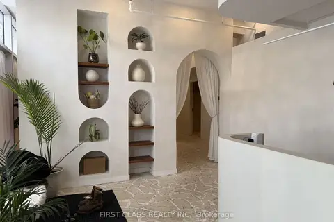
$149,000
Reduced $50,000
785 Dundas Street W
Trinity-Bellwoods, Toronto
Sale Of Business · MLS® C13024644 · FIRST CLASS REALTY INC.
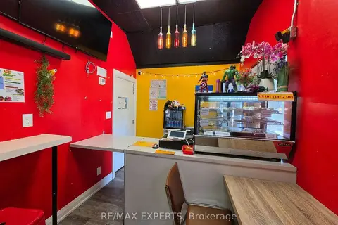
$149,000
3040 Don Mills Road 4B
Don Valley Village, Toronto
Sale Of Business · MLS® C13624234 · RE/MAX EXPERTS
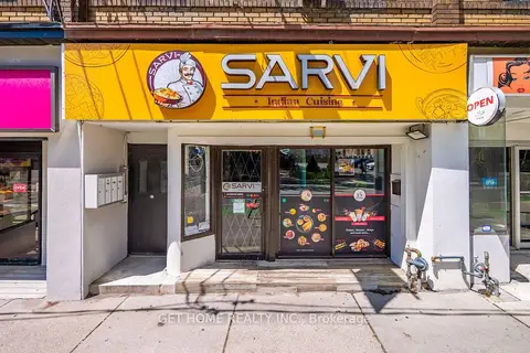
$149,000
2 ba
464 Sherbourne Street
Cabbagetown-South St. James Town, Toronto
Sale Of Business · MLS® C13725626 · GET HOME REALTY INC.
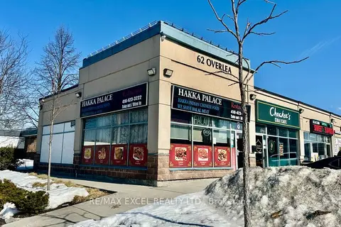
$149,000
62 Overlea Boulevard 8
Thorncliffe Park, Toronto
Sale Of Business · MLS® C13735454 · RE/MAX EXCEL REALTY LTD.
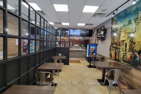
$149,000
Reduced $50,000
407A Bloor Street E
North St. James Town, Toronto
Sale Of Business · MLS® C13767646 · RE/MAX PREMIER INC.
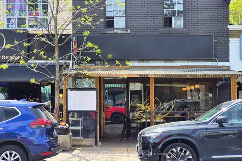
$149,000
1568 Bayview Avenue
Leaside, Toronto
Sale Of Business · MLS® C13788128 · SUTTON GROUP-ADMIRAL REALTY INC.
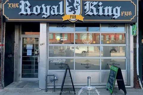
$149,000
641 Dupont Street
Annex, Toronto
Sale Of Business · MLS® C13804262 · RE/MAX COMMUNITY REALTY INC.
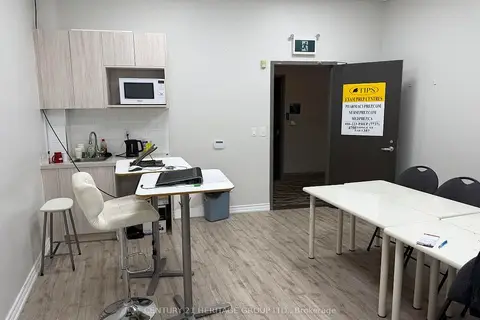
$149,000
4750 Yonge Street 357
Lansing-Westgate, Toronto
Investment · MLS® C13805738 · CENTURY 21 HERITAGE GROUP LTD.