1099 Britannia Road E 15
Northeast, Mississauga, L4W 3X1
$5,500/mo
- 1 bathrooms
Listed 8 days ago · MLS® W13886696
About this home
If you need a highly visible, incredibly clean industrial unit in Mississauga, this one is worth a look. It sits right on Britannia Road, close to Dixie and the 401, making the morning commute or logistics routes a breeze .The layout is highly practical for small-scale warehousing, light manufacturing, or a satellite office. It features 16-foot high ceilings, a proper drive-in bay, and full access for 53-foot shipping trailers. You won't have to worry about parking either-there are 2 dedicated spots right at your front door and a massive lot with over 35 shared visitor spaces for your clients.
Details
- Type
- Industrial
- Garage
- None
- Neighbourhood
- Northeast
- Municipality
- Mississauga
Interior
- Bathrooms
- 1 × bathroom
Heating, cooling and services
- Heating
- Gas Forced Air Closed
- Air conditioning
- Yes
- Utilities
- Available
Building and exterior
- Building area
- 1,800 Square Feet
Rental terms
- Minimum term
- 12 months
More
- Possession
- Immediate
- Cross street
- Britannia/Tomken
Location
Location is approximate. See nearby homes on the map
The neighbourhood
Getting around Car-dependent
- 🚆 Terminal 3 GO5.1 km
Within a 10-minute walk: no grocery stores, 4 cafés and restaurants, 0 parks.
Schools nearby
Elementary
- Ahmadiyya Elementary School Private2.0 km
Closest schools, not school zones. Check which school serves this address with the school board before relying on it.
Who lives here postal area L4W
- Owners / renters
- 78% / 22%
- Median household income
- $105,000
- Average age
- 47
- Children under 15
- 12%
- Homes
- 53% detached, 24% high-rise
- Commute by transit
- 10%
- Population
- 19,744
Languages spoken most at home besides English: Polish 3.7%, Ukrainian 3.1%, Mandarin 2%, Yue (Cantonese) 1.5%.
Flood and conservation No mapped hazard
Not inside a mapped flood plain or regulated area.
Screening maps only. Ask the conservation authority for a property inquiry before relying on this.
Safety
Crime Severity Index for Peel Region (Mississauga/Brampton) police: 59 vs 57 for Ontario (2025).
Police-reported figures for the whole police service area, not this street. Rates use the area’s resident population.
Development nearby 1 active
-
1024 Westport Cres · 400 mDevelopment application · In process · applied 2025Site plan for industrial building with office
Rezoning, site plan, subdivision and condominium applications filed with the city.
Distances are approximate. Places © OpenStreetMap contributors. Neighbourhood figures: Statistics Canada, 2021 Census. Crime Severity Index: Statistics Canada. Planning applications: City of Mississauga open data.
Living here
Commute
To Union Station (downtown Toronto): 22 km. Transit times · Driving times
Noise Nothing major nearby
No highway within 500 m, rail line within 300 m, or airport flight path nearby.
Distances from the map, not noise measurements. Visit at rush hour to judge for yourself.
Internet High-speed
50/10 Mbps or faster available here by cable, fibre or DSL (the federal high-speed target).
From the federal broadband map. Check exact speeds and providers for the address.
Roads, rail, airports and planned stations © OpenStreetMap contributors. Internet: Innovation, Science and Economic Development Canada, National Broadband Data.
Listed by ROYAL LEPAGE CERTIFIED REALTY.
Listing information provided by PropTx Innovations Inc. and TRREB; deemed reliable but not guaranteed accurate by PropTx.
Similar homes nearby
See more in Mississauga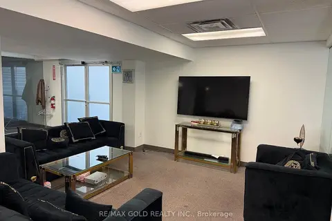
$5,000/mo
5100 Dixie Road 101(Grnd Flr
Northeast, Mississauga
Office · MLS® W13568726 · RE/MAX GOLD REALTY INC.
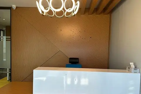
$5,000/mo
7895 Tranmere Drive 23
Northeast, Mississauga
Office · MLS® W13830978 · RE/MAX EXCELLENCE REAL ESTATE
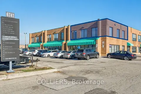
$4,999/mo
6741 Columbus Road 201B
Northeast, Mississauga
Office · MLS® W12542820 · COLLIERS
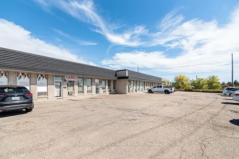
$4,800/mo
1260 Fewster Drive 7
Northeast, Mississauga
Industrial · MLS® W13801222 · ROYAL LEPAGE SIGNATURE REALTY
$6,400/mo
7050 Bramalea Road 14-A
Northeast, Mississauga
Commercial Retail · MLS® W13563580 · ROYAL STAR REALTY INC.
$4,500/mo
7895 Tranmere Drive 17
Northeast, Mississauga
Office · MLS® W13732046 · Affluentia Realty
$4,500/mo
1310 Midway Boulevard 33
Northeast, Mississauga
Industrial · MLS® W13840582 · RE/MAX REALTRON REALTY INC.
$5,436/mo
Reduced $484
2233 Argentia Road 200
Meadowvale Business Park, Mississauga
Office · MLS® W13683078 · Royal LePage Real Estate Associates