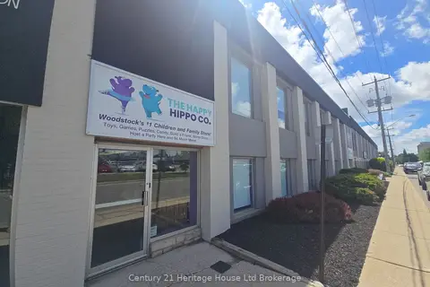
1033 Pattullo Avenue 3 (main floor)
Woodstock - South, Woodstock, N4V 1C8
$2,200/mo
Listed 91 days ago · MLS® X13590128
About this home
Prime M2/M3-zoned industrial condo unit for lease in Woodstock perfectly located just off Highway 401 and Norwich Avenue for easy access. The main floor offers 1,350 sq ft with a 10 ft drive-in door and 3-phase hydro. Versatile zoning supports manufacturing, automotive, warehousing, trades and more, with ample parking on site. TMI approx $150/month (2025 est.) covers water, snow removal and landscaping. Available immediately - ideal for your growing business. 2nd floor also available for lease.
Details
- Type
- Industrial
- Lot
- 200 × 378 ft
- Garage
- Other
- Property tax
- $2,188 (2025)
- Neighbourhood
- Woodstock - South
- Municipality
- Woodstock
Heating, cooling and services
- Heating
- Electric Forced Air
- Utilities
- Available
Building and exterior
- Building area
- 1,350 Square Feet
Rental terms
- Minimum term
- 24 months
More
- Possession
- flexible/immediate
- Cross street
- Pattullo Ave & Hwy 59
Location
Location is approximate. See nearby homes on the map
The neighbourhood
Getting around Car-dependent
No subway, LRT or GO station within a short trip.
Within a 10-minute walk: 1 grocery store, 6 cafés and restaurants, 0 parks. Nearest grocery: Walmart Supercentre (850 m).
Schools nearby
Elementary
- Eastdale Public School
EQAO: Gr 6 reading 87%, math 33%1.9 km - Oliver Stephens Public School
EQAO: Gr 6 reading 93%, math 57%1.9 km
Secondary
- St. Mary's High School Catholic
EQAO: Gr 9 math 48%, literacy test 82%1.9 km - College Avenue Secondary School
EQAO: Gr 9 math 28%, literacy test 66%2.1 km
EQAO: share of students meeting the provincial standard (2024–25). Ontario average: Gr 6 reading 86%, math 51%; Gr 9 math 55%; literacy test 83%.
Closest schools, not school zones. Check which school serves this address with the school board before relying on it.
Who lives here postal area N4V
- Owners / renters
- 59% / 41%
- Median household income
- $87,000
- Average age
- 44
- Children under 15
- 18%
- Homes
- 49% detached, 18% high-rise
- Population
- 3,477
Languages spoken most at home besides English: Punjabi (Panjabi) 3.2%, Nepali 1.8%, Hindi 0.5%, Korean 0.5%.
Safety
Crime Severity Index for Woodstock police: 62 vs 57 for Ontario (2025).
Police-reported figures for the whole police service area, not this street. Rates use the area’s resident population.
Distances are approximate. Places © OpenStreetMap contributors. Neighbourhood figures: Statistics Canada, 2021 Census. School results: EQAO via Ontario Data Catalogue (Open Government Licence – Ontario). Crime Severity Index: Statistics Canada.
Living here
Commute
Noise 1 source nearby
- 🛣️ Highway 401450 m
Distances from the map, not noise measurements. Visit at rush hour to judge for yourself.
Internet High-speed
50/10 Mbps or faster available here by cable, fibre or DSL (the federal high-speed target).
From the federal broadband map. Check exact speeds and providers for the address.
Roads, rail, airports and planned stations © OpenStreetMap contributors. Internet: Innovation, Science and Economic Development Canada, National Broadband Data.
Listed by RE/MAX REALTY SERVICES INC..
Listing information provided by PropTx Innovations Inc. and TRREB; deemed reliable but not guaranteed accurate by PropTx.
Similar homes nearby
See more in Woodstock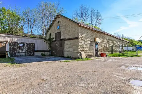
$2,400/mo
1 ba
100 Butler Street B
Woodstock - South, Woodstock
Investment · MLS® X13165914 · Gale Group Realty Brokerage Ltd
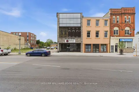
$2,000/mo
389 Dundas Street First Floor
Woodstock - North, Woodstock
Commercial Retail · MLS® X13241522 · KELLER WILLIAMS EDGE REALTY
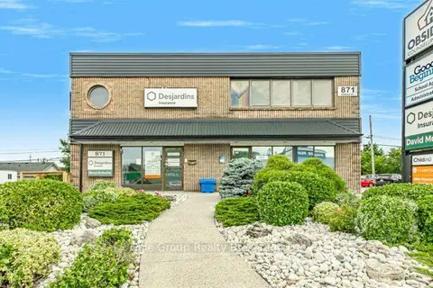
$2,000/mo
871 Dundas Street W Lower 1
Woodstock - North, Woodstock
Office · MLS® X13587312 · Gale Group Realty Brokerage Ltd
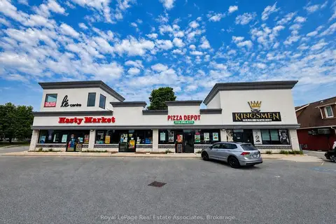
$2,000/mo
801 Dundas Street 5
Woodstock - North, Woodstock
Office · MLS® X13687468 · Royal LePage Real Estate Associates
$1,850/mo
Reduced $100
24 Kent Street
Woodstock - North, Woodstock
Commercial Retail · MLS® X13446818 · Century 21 Heritage House Ltd Brokerage