1001 Queen Street E
South Riverdale, Toronto, M4M 1K2
$150,000
Listed 40 days ago · MLS® E13763488
About this home
Turnkey restaurant opportunity in the heart of Leslieville at 1001 Queen St E. Fully equipped commercial kitchen featuring professional-grade exhaust hood and fire suppression system, multiple fryers, commercial charbroiler/grill, flat-top cooking equipment, stainless steel prep and refrigeration stations, commercial sinks, shelving, walk-in/refrigeration equipment and extensive stainless steel finishes throughout. Modern, clean and well-maintained space designed for efficient restaurant operations. Excellent opportunity for an operator looking to save significant time and capital on construction and kitchen build-out. High-exposure Queen St E location surrounded by established residential and commercial uses, with strong pedestrian and vehicle traffic. Ideal for a variety of food concepts. Truly a turnkey restaurant space-bring your concept and start operating with minimal setup.
Details
- Type
- Sale Of Business
- Lot
- 72 × 100 ft
- Garage
- None
- Neighbourhood
- South Riverdale
- Municipality
- Toronto E01
Heating, cooling and services
- Heating
- Gas Forced Air Open
- Air conditioning
- Yes
- Utilities
- Yes
Building and exterior
- Building area
- 1,942 Square Feet
More
- Possession
- Flexible
- Cross street
- Queen St E & Pape
- Business type
- Restaurant
Location
Location is approximate. See nearby homes on the map
Recent sales nearby
See what similar homes within 1 km sold for in the last year. Create a free account or sign in to see them.
The neighbourhood
Getting around Very walkable
- 🚇 Pape Subway2.1 km
- 🚇 Donlands Subway2.2 km
- 🚆 Toronto Union Station GO3.9 km
Within a 10-minute walk: 10 grocery stores, 82 cafés and restaurants, 19 parks, 9 pharmacies. Nearest grocery: The Source Bulk Foods (350 m). Nearest park: John Chang Neighbourhood Park (350 m).
Schools nearby
Elementary
- Morse Street Junior Public School
EQAO: Gr 6 reading 85%, math 71%4 min walk - Bruce Public School
EQAO: Gr 6 reading 93%, math 43%6 min walk - St. Joseph Catholic School Catholic
EQAO: Gr 6 reading 92%, math 58%10 min walk - Leslieville Junior Public School
EQAO: Gr 6 reading 74%, math 33%12 min walk
Secondary
- Queen Alexandra Middle School15 min walk
- SEED Alternative School16 min walk
- Riverdale Collegiate Institute
EQAO: Gr 9 math 77%, literacy test 95%16 min walk
EQAO: share of students meeting the provincial standard (2024–25). Ontario average: Gr 6 reading 86%, math 51%; Gr 9 math 55%; literacy test 83%.
Closest schools, not school zones. Check which school serves this address with the school board before relying on it.
Who lives here postal area M4M
- Owners / renters
- 56% / 44%
- Median household income
- $99,000
- Average age
- 40
- Children under 15
- 14%
- Homes
- 6% detached, 25% high-rise
- Commute by transit
- 25%
- Population
- 25,052
Languages spoken most at home besides English: Yue (Cantonese) 6.3%, Mandarin 3.5%, Vietnamese 1.5%, Spanish 0.6%.
Flood and conservation No mapped hazard
Not inside a mapped flood plain or regulated area.
Screening maps only. Ask the conservation authority for a property inquiry before relying on this.
Safety
Major crime per resident in South Riverdale (2025): about the Toronto average, down 17% from the year before.
- Assaultabout average
- Break and enter40% above average
- Auto theftabout average
- Robberyabout average
- Theft from vehicles65% above average
- Shootings61% below average
Crime Severity Index for Toronto police: 60 vs 57 for Ontario (2025).
Police-reported figures for the whole neighbourhood, not this street. Rates use the area’s resident population.
Development nearby 6 active
-
65-87 HEWARD AVE · 450 mOfficial Plan / Zoning By-law Amendment · OMB Appeal · applied 2025Official Plan Amendment (OPA) to re-designate the subject site from Core Employment Areas to Mixed Use Areas to permit future mixed-use development. The OPA…Application details
-
929 QUEEN ST E · 250 mSite Plan · NOAC Issued · applied 2023Application for Site Plan Control to permit a 9-storey mixed use building, containing 78 rental units and 195 square metres of commercial gross floor area.Application details
-
675 EASTERN AVE · 350 mSite Plan · NOAC Issued · applied 2020Site Plan approval application for the construction of a private road with public access easement to connect Eastern Ave and Lake Shore Blvd E, as contemplated…Application details
-
65-87 HEWARD AVE · 450 mSite Plan · NOAC Issued · applied 2019Gold Star Site Plan Approval application for a proposed 6-storey non-residential building comprised of 10,420 square metres floor area and containing retail,…Application details
-
1001 QUEEN ST E · 50 mSite Plan · NOAC Issued · applied 2018Site Plan Control application fpr a proposed mixed use building with an overall height of 6-storeys (inclusive of mechanical). A total of 16 residential units…Application details
-
15 BUSY ST · 400 mSite Plan · NOAC Issued · applied 2018Site Plan Control application associated with Zoning By-law amendment to allow the redevelopment of a parking lot with a 6-unit townhouse block(1828.0 sq. m.).…Application details
3 more within 500 m.
Rezoning, site plan, subdivision and condominium applications filed with the city.
Distances are approximate. Places © OpenStreetMap contributors. Neighbourhood figures: Statistics Canada, 2021 Census. School results: EQAO via Ontario Data Catalogue (Open Government Licence – Ontario). Neighbourhood crime: Toronto Police Service Public Safety Data Portal (Open Government Licence – Toronto Police Service). Crime Severity Index: Statistics Canada. Planning applications: City of Toronto open data.
Living here
Commute
To Union Station (downtown Toronto): 4 km. Transit times · Driving times
Coming transit
- 🚧 Leslieville Ontario Line700 m · opening early 2030s
- 🚧 Gerrard 750 m
- 🚧 East Harbour Ontario Line1.1 km · opening early 2030s
Stations under construction or approved. Opening dates are the latest public estimates and often move.
Noise Nothing major nearby
No highway within 500 m, rail line within 300 m, or airport flight path nearby.
Distances from the map, not noise measurements. Visit at rush hour to judge for yourself.
What can be built CR
Commercial Residential (with a site-specific exception).
From Toronto’s Zoning By-law 569-2013 map. Lot size, setbacks and trees decide what actually fits; check with a planner before you buy.
Building permits
- Interior Alterations · 2026 · Application AcceptableProposed interior alterations to convert an existing Garage Repair (Group F2) to a Restaurant (Group E).
- Partial Permit - Shoring · 2022 · Under ReviewPart Permit - SHORING/EXCAVATION Shoring Length 2m. Proposal to construct a new 6 storey mixed use building with 28 residential units, 2…
- Alternative Solution · 2022 · Deficiency Notice IssuedThe following outlines the proposed alternative solution for the applicable building code requirements, relative to fire protection and…
- Alternative Solution · 2022 · ApprovedALTERNATIVE SOLUTION PROPOSAL FOR FILE # 21 242042 BLD 00 NB FOR THE CONSTRUCTION OF A 6-STOREY CONDOMINIUM WITH 28 RESIDENTIAL AND 2…
- Partial Permit - Foundation · 2021 · Under ReviewPart Permit - Proposal to construct a new 6 storey mixed use building with 28 residential units, 2 commercial units and 1 level of below…
5 permits on this block of the street in the last 2 years.
Permits filed with the City of Toronto. A permit doesn’t mean the work passed final inspection.
Trees
34 City street trees within 100 m. That’s about the Toronto average of 42.
Trees on City boulevards only, not private yards or parks.
Internet High-speed
50/10 Mbps or faster available here by cable, fibre or DSL (the federal high-speed target).
From the federal broadband map. Check exact speeds and providers for the address.
Zoning, heritage, building permits and street trees: City of Toronto open data (Open Government Licence – Toronto). Roads, rail, airports and planned stations © OpenStreetMap contributors. Internet: Innovation, Science and Economic Development Canada, National Broadband Data.
Listed by KING REALTY INC..
Listing information provided by PropTx Innovations Inc. and TRREB; deemed reliable but not guaranteed accurate by PropTx.
Similar homes nearby
See more in Toronto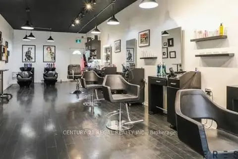
$149,000
1173 Queen Street E
South Riverdale, Toronto
Sale Of Business · MLS® E13716226 · CENTURY 21 REGAL REALTY INC.
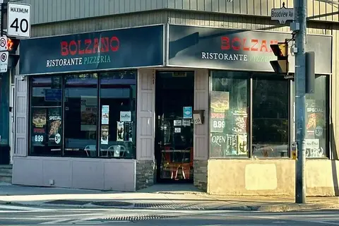
$125,000
Reduced $13,000
239 Broadview Avenue
South Riverdale, Toronto
Sale Of Business · MLS® E13803966 · RE/MAX EXCEL REALTY LTD.
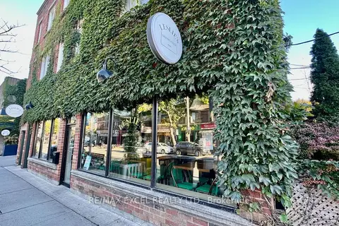
$125,000
969 Queen Street E
South Riverdale, Toronto
Sale Of Business · MLS® E13866276 · RE/MAX EXCEL REALTY LTD.
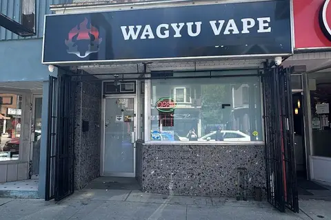
$179,000
621 Gerrard Street E
South Riverdale, Toronto
Commercial Retail · MLS® E13522076 · BAY STREET GROUP INC.
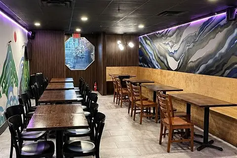
$150,000
45 Baldwin Street Lower
Kensington-Chinatown, Toronto
Sale Of Business · MLS® C13553440 · REMAX YC REALTY
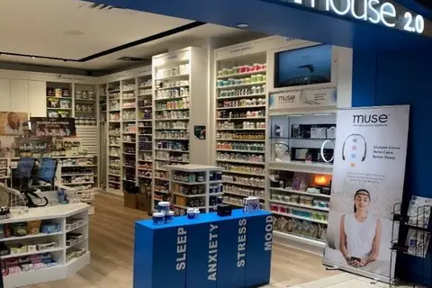
$150,000
40 King Street W
Bay Street Corridor, Toronto
Sale Of Business · MLS® C13820174 · ROYAL LEPAGE REAL ESTATE SERVICES LTD.
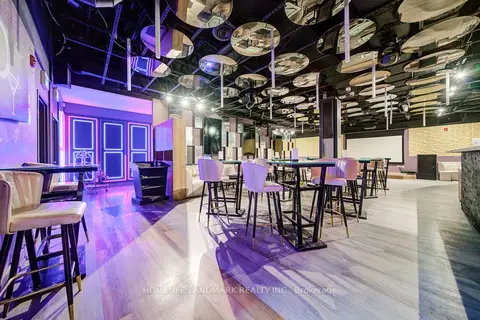
$150,000
Reduced $249,000
2901 Kennedy Road 1B
Milliken, Toronto
Sale Of Business · MLS® E12937366 · HOMELIFE LANDMARK REALTY INC.
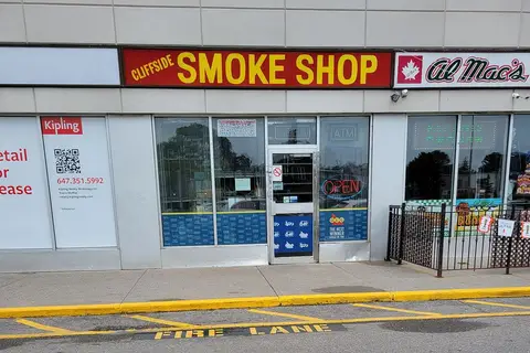
$150,000
2461 Kingston Road
Birchcliffe-Cliffside, Toronto
Sale Of Business · MLS® E13588002 · HOMELIFE LANDMARK REALTY INC.