1* Burtons Lane
West Woodbridge, Vaughan, L4L 1J5
$5,900,000
Listed 137 days ago · MLS® N13242070
About this home
Tremendous Old Woodbridge Location. This unique 4 property development/investment assembly is being offered for sale. Offering breakdown, 1 Burtons Lane ( wood frame structure), 3 Burtons Lane ( 3,000 sf. multi level wood frame ind/com building) 7988 Kipling Ave 4 bdrm home (currently vacant) & 7994 Kipling Ave.( 3 bedroom home currently leased plus huge block garage /workshop 1200 sf)). The total land area .775 acres. Mixed use zoning. Generate additional income from the Ind/com building and the vacant house plus existing income from rented house. The future holds endless opportunities for future re-development of this site, several potential possibilities including commercial low rise or residential stack or mid rise developments. Walk to Woodbridge Fairgrounds , Market Lane Plaza & Neighborhood. Several Condo Buildings in immediate area due to high demand for this area.
Details
- Type
- Industrial
- Lot
- 0.78 × ? ft
- Garage
- Other
- Property tax
- $32,044 (2025)
- Neighbourhood
- West Woodbridge
- Municipality
- Vaughan
Heating, cooling and services
- Heating
- Gas Forced Air Open
- Utilities
- Available
Building and exterior
- Building area
- 1 Acres
More
- Possession
- Partially Tenanted
- Cross street
- Woodbridge Ave & Kipling
History of this address
1 earlier listing at this address, with sold and leased prices. Create a free account or sign in to see them.
Location
Location is approximate. See nearby homes on the map
Recent sales nearby
See what similar homes within 1 km sold for in the last year. Create a free account or sign in to see them.
The neighbourhood
Getting around Walkable
No subway, LRT or GO station within a short trip.
Within a 10-minute walk: 1 grocery store, 8 cafés and restaurants, 5 parks, 4 pharmacies. Nearest grocery: Cataldi Fresh Market (500 m). Nearest park: Old Firehall Parkette (250 m).
Schools nearby
Elementary
- Woodbridge Public School
EQAO: Gr 6 reading 86%, math 48%8 min walk - St. Peter Catholic Elementary School Catholic
EQAO: Gr 6 reading 95%, math 32%11 min walk - St. Clement Catholic Elementary School Catholic
EQAO: Gr 6 reading 98%, math 78%12 min walk - Pine Grove Public School
EQAO: Gr 6 reading 82%, math 36%1.8 km
Secondary
- Toronto District Christian High School Private3 min walk
- Woodbridge College
EQAO: Gr 9 math 50%, literacy test 91%1.5 km - Holy Cross Catholic Academy Catholic · Private
EQAO: Gr 9 math 70%, literacy test 79%1.7 km
EQAO: share of students meeting the provincial standard (2024–25). Ontario average: Gr 6 reading 86%, math 51%; Gr 9 math 55%; literacy test 83%.
Closest schools, not school zones. Check which school serves this address with the school board before relying on it.
Who lives here postal area L4L
- Owners / renters
- 85% / 15%
- Median household income
- $110,000
- Average age
- 46
- Children under 15
- 12%
- Homes
- 64% detached, 15% high-rise
- Commute by transit
- 5%
- Population
- 55,426
Languages spoken most at home besides English: Italian 10.3%, Punjabi (Panjabi) 1.8%, Spanish 1.8%, Mandarin 1%.
Flood and conservation No mapped hazard
Not inside a mapped flood plain or regulated area.
Screening maps only. Ask the conservation authority for a property inquiry before relying on this.
Safety
Crime Severity Index for York Region police: 50 vs 57 for Ontario (2025).
Police-reported figures for the whole police service area, not this street. Rates use the area’s resident population.
Distances are approximate. Places © OpenStreetMap contributors. Neighbourhood figures: Statistics Canada, 2021 Census. School results: EQAO via Ontario Data Catalogue (Open Government Licence – Ontario). Crime Severity Index: Statistics Canada.
Living here
Commute
To Union Station (downtown Toronto): 23 km. Transit times · Driving times
Noise 1 source nearby
- 🚆 Rail line (MacTier Subdivision)200 m
Distances from the map, not noise measurements. Visit at rush hour to judge for yourself.
Internet High-speed
50/10 Mbps or faster available here by cable, fibre or DSL (the federal high-speed target).
From the federal broadband map. Check exact speeds and providers for the address.
Roads, rail, airports and planned stations © OpenStreetMap contributors. Internet: Innovation, Science and Economic Development Canada, National Broadband Data.
Listed by JDF REALTY LTD..
Listing information provided by PropTx Innovations Inc. and TRREB; deemed reliable but not guaranteed accurate by PropTx.
Similar homes nearby
See more in Vaughan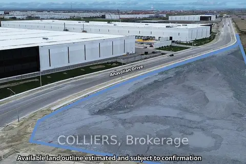
$4,800,000
395 Anatolian Drive
West Woodbridge Industrial Area, Vaughan
Land · MLS® N13144122 · COLLIERS