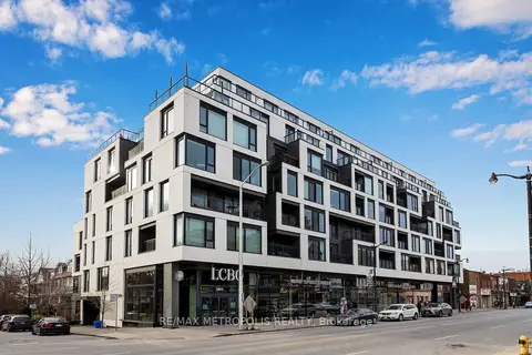
Within a 10-minute walk: 3 grocery stores, 75 cafés and restaurants, 12 parks, 6 pharmacies.
Nearest grocery: No Frills (500 m).
Nearest park: Dundas-Watkinson Parkette (150 m).
Schools nearby
Elementary
Indian Road Crescent Junior Public School EQAO: Gr 6 reading 84%, math 79%5 min walk
St. Rita Catholic School Catholic EQAO: Gr 6 reading 91%, math 36%8 min walk
École élémentaire Charles-Sauriol French EQAO: Gr 6 reading 98%, math 88%11 min walk
Perth Avenue Junior Public School EQAO: Gr 6 reading 90%, math 68%13 min walk
Secondary
Lucy McCormick Senior School3 min walk
Humberside Collegiate Institute EQAO: Gr 9 math 80%, literacy test 96%13 min walk
EQAO: share of students meeting the provincial standard (2024–25). Ontario average: Gr 6 reading 86%, math 51%; Gr 9 math 55%; literacy test 83%.
Closest schools, not school zones. Check which school serves this address with the school board before relying on it.
Who lives here postal area M6P
Owners / renters
42% / 58%
Median household income
$86,000
Average age
41
Children under 15
14%
Homes
11% detached, 43% high-rise
Commute by transit
33%
Population
39,870
Languages spoken most at home besides English: Portuguese 2%, Spanish 1.7%, Russian 1.1%, Polish 0.9%.
Flood and conservation No mapped hazard
Not inside a mapped flood plain or regulated area.
Screening maps only. Ask the conservation authority for a property inquiry before relying on this.
Safety
Major crime per resident in Junction Area (2025): 22% above the Toronto average, down 19% from the year before.
Assaultabout average
Break and enter61% above average
Auto theftabout average
Robberyabout average
Theft from vehicles173% above average
Shootings24% below average
Crime Severity Index for Toronto police: 60 vs 57 for Ontario (2025).
Police-reported figures for the whole neighbourhood, not this street. Rates use the area’s resident population.
Development nearby 5 active
301 KEELE ST· 200 m
Plan of Condominium · Draft Plan Approved · applied 2025
Draft Plan of Condominium for 4 residentail dwelling units.
The site plan application proposes mix of mid-rise and tall building typologies and includes two mid-rise buildings that range from 8- to 11-storeys and a…
Official Plan / Zoning By-law Amendment · OMB Appeal · applied 2021
Official Plan and Zoning By-law amendment application to facilitate the development of the site for two mixed use buildings of 28 and 39 storeys on an 11…
A Plan of Subdivision application to establish 7 blocks and the public street to implement the proposed Official Plan and Zoning By-law amendment, file no. 21…