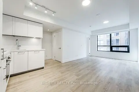
$2,250/mo
1 bd1 ba500-599 ft²
36 Brentcliffe Road 401
Thorncliffe Park, Toronto
Condo Apartment · MLS® C13851642 · BIG CITY REALTY INC.
7 condos for rent in this building right now. In Thorncliffe Park.
From the listings in this building; details can vary by unit and change over time.
$2,250/mo
1 bd1 ba500-599 ft²
Thorncliffe Park, Toronto
Condo Apartment · MLS® C13851642 · BIG CITY REALTY INC.
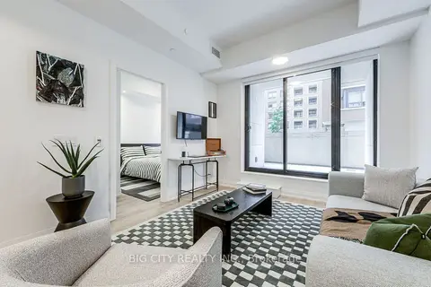
$2,500/mo
1+1 bd1 ba1 pk600-699 ft²
Thorncliffe Park, Toronto
Condo Apartment · MLS® C13851624 · BIG CITY REALTY INC.
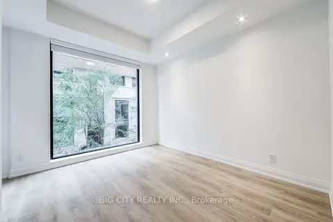
$2,650/mo
1+1 bd2 ba1 pk600-699 ft²
Thorncliffe Park, Toronto
Condo Apartment · MLS® C13851750 · BIG CITY REALTY INC.
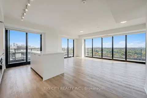
$5,250/mo
2 bd2 ba1 pk1000-1199 ft²
Thorncliffe Park, Toronto
Condo Apartment · MLS® C13851734 · BIG CITY REALTY INC.
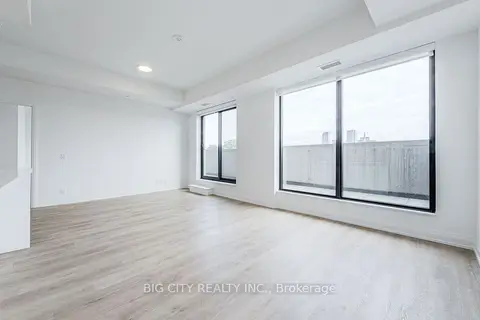
$4,050/mo
2 bd2 ba1 pk1000-1199 ft²
Thorncliffe Park, Toronto
Condo Apartment · MLS® C13851634 · BIG CITY REALTY INC.
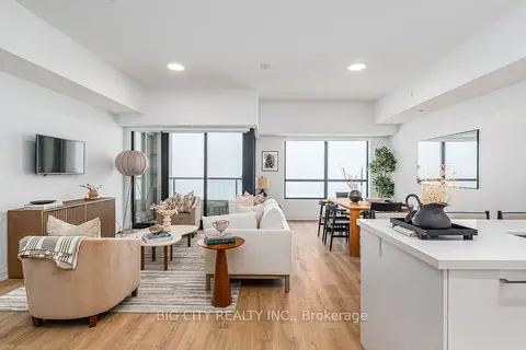
$4,000/mo
2 bd3 ba1000-1199 ft²
Thorncliffe Park, Toronto
Condo Apartment · MLS® C13813946 · BIG CITY REALTY INC.
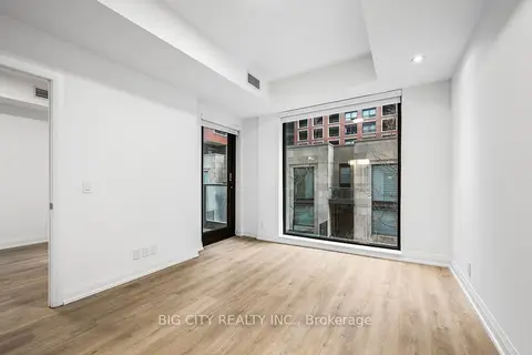
$3,000/mo
2 bd2 ba1 pk800-899 ft²
Thorncliffe Park, Toronto
Condo Apartment · MLS® C13676304 · BIG CITY REALTY INC.
19 past sales and rentals in this building, with prices. Create a free account or sign in to see them.
Within a 10-minute walk: 4 grocery stores, 12 cafés and restaurants, 3 parks, 1 pharmacy. Nearest grocery: Farm Boy (600 m). Nearest park: Radar Park (200 m).
EQAO: share of students meeting the provincial standard (2024–25). Ontario average: Gr 6 reading 86%, math 51%; Gr 9 math 55%; literacy test 83%.
Closest schools, not school zones. Check which school serves this address with the school board before relying on it.
Languages spoken most at home besides English: Mandarin 0.9%, Spanish 0.8%, Iranian Persian 0.7%, Portuguese 0.7%.
Not inside a mapped flood plain or regulated area.
Screening maps only. Ask the conservation authority for a property inquiry before relying on this.
Major crime per resident in Leaside-Bennington (2025): 43% below the Toronto average, about the same from the year before.
Crime Severity Index for Toronto police: 60 vs 57 for Ontario (2025).
Police-reported figures for the whole neighbourhood, not this street. Rates use the area’s resident population.
7 more within 500 m.
Rezoning, site plan, subdivision and condominium applications filed with the city.
Distances are approximate. Places © OpenStreetMap contributors. Neighbourhood figures: Statistics Canada, 2021 Census. School results: EQAO via Ontario Data Catalogue (Open Government Licence – Ontario). Neighbourhood crime: Toronto Police Service Public Safety Data Portal (Open Government Licence – Toronto Police Service). Crime Severity Index: Statistics Canada. Planning applications: City of Toronto open data.
Be first to know about new listings in 36 Brentcliffe Rd.
Thinking of selling a unit here? See what it’s worth or talk to Mehran.