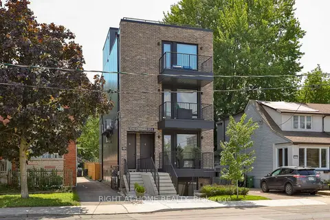
Within a 10-minute walk: 13 grocery stores, 53 cafés and restaurants, 12 parks, 18 pharmacies.
Nearest grocery: Loblaws (500 m).
Nearest park: Bob Acton Park (150 m).
Schools nearby
Elementary
Adam Beck Junior Public School EQAO: Gr 6 reading 93%, math 40%6 min walk
Kimberley Junior Public School EQAO: Gr 6 reading 90%, math 67%8 min walk
St. John Catholic School Catholic EQAO: Gr 6 reading 94%, math 38%9 min walk
Beaches Alternative Junior School9 min walk
Secondary
Malvern Collegiate Institute EQAO: Gr 9 math 78%, literacy test 96%5 min walk
Notre Dame Catholic High School Catholic EQAO: Gr 9 math 67%, literacy test 97%8 min walk
Neil McNeil High School Catholic EQAO: Gr 9 math 69%, literacy test 83%17 min walk
EQAO: share of students meeting the provincial standard (2024–25). Ontario average: Gr 6 reading 86%, math 51%; Gr 9 math 55%; literacy test 83%.
Closest schools, not school zones. Check which school serves this address with the school board before relying on it.
Who lives here postal area M4E
Owners / renters
64% / 36%
Median household income
$112,000
Average age
41
Children under 15
17%
Homes
28% detached, 8% high-rise
Commute by transit
20%
Population
25,473
Languages spoken most at home besides English: Spanish 0.7%, Yue (Cantonese) 0.5%, Mandarin 0.4%, Portuguese 0.2%.
Flood and conservation No mapped hazard
Not inside a mapped flood plain or regulated area.
Screening maps only. Ask the conservation authority for a property inquiry before relying on this.
Safety
Major crime per resident in East End-Danforth (2025): about the Toronto average, down 11% from the year before.
Assaultabout average
Break and enterabout average
Auto theft35% below average
Robbery34% below average
Theft from vehiclesabout average
Shootings51% below average
Crime Severity Index for Toronto police: 60 vs 57 for Ontario (2025).
Police-reported figures for the whole neighbourhood, not this street. Rates use the area’s resident population.
Development nearby 6 active
8 DAWES RD· 400 m
Site Plan · Under Review · applied 2022
Site Plan application for a 52 residential building with retail at grade containing 579 units, inlcuding 12 units of affordable housing , The development…
Official Plan / Zoning By-law Amendment · OMB Appeal · applied 2022
Rezoning application for a 52 residential building with retail at grade containing 579 units, inlcuding 12 units of affordable housing , The development…
Site Plan Approval application for two mixed-use towers having heights of 27 and 33-storeys, atop a 5-storey podium, which includes 769 residential units.
Site Plan Approval for two mixed-use towers having heights of 24 and 38-storeys, and having a residential gross floor area of 40,408 square metres, and a…