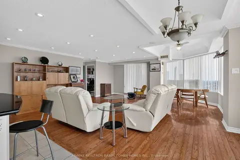
 New
$450,000
2 bd2 ba1 pk1400-1599 ft²
700 Constellation Drive 2009
Hurontario, Mississauga
Condo Apartment · MLS® W14099312 · RE/MAX REALTRON BARRY COHEN HOMES INC.
700 Constellation Dr, Mississauga. 5 condos for sale and 1 condo for rent in this building right now. In Hurontario.
From the listings in this building; details can vary by unit and change over time.
New
$450,000
2 bd2 ba1 pk1400-1599 ft²
Hurontario, Mississauga
Condo Apartment · MLS® W14099312 · RE/MAX REALTRON BARRY COHEN HOMES INC.
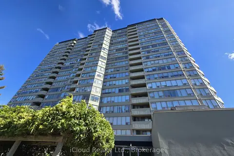
$489,000
2 bd2 ba1 pk1000-1199 ft²
Hurontario, Mississauga
Condo Apartment · MLS® W13829394 · iCloud Realty Ltd.
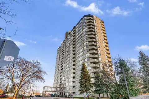
$455,000
Reduced $20,000
2 bd2 ba2 pk1200-1399 ft²
Hurontario, Mississauga
Condo Apartment · MLS® W13725188 · FIRST CLASS REALTY INC.
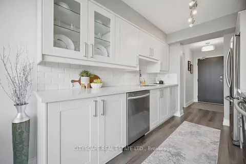
$549,995
Reduced $14,905
2 bd2 ba2 pk1000-1199 ft²
Hurontario, Mississauga
Condo Apartment · MLS® W13663422 · CITYSCAPE REAL ESTATE LTD.
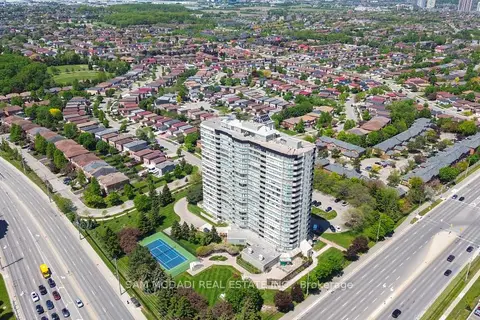
$539,000
2+1 bd2 ba1 pk1400-1599 ft²
Hurontario, Mississauga
Condo Apartment · MLS® W13214452 · SAM MCDADI REAL ESTATE INC.
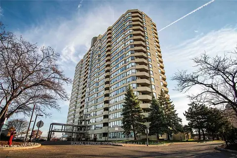
$3,300/mo
2 bd2 ba2 pk1400-1599 ft²
Hurontario, Mississauga
Condo Apartment · MLS® W13810328 · ROYAL LEPAGE SIGNATURE REALTY
185 past sales and rentals in this building, with prices. Create a free account or sign in to see them.
Within a 10-minute walk: 5 grocery stores, 15 cafés and restaurants, 6 parks, 7 pharmacies. Nearest grocery: No Frills (250 m). Nearest park: Ceremonial Green Park (400 m).
EQAO: share of students meeting the provincial standard (2024–25). Ontario average: Gr 6 reading 86%, math 51%; Gr 9 math 55%; literacy test 83%.
Closest schools, not school zones. Check which school serves this address with the school board before relying on it.
Languages spoken most at home besides English: Urdu 4%, Mandarin 3.6%, Yue (Cantonese) 3.4%, Arabic 3%.
Not inside a mapped flood plain or regulated area.
Screening maps only. Ask the conservation authority for a property inquiry before relying on this.
Crime Severity Index for Peel Region (Mississauga/Brampton) police: 59 vs 57 for Ontario (2025).
Police-reported figures for the whole police service area, not this street. Rates use the area’s resident population.
Rezoning, site plan, subdivision and condominium applications filed with the city.
Distances are approximate. Places © OpenStreetMap contributors. Neighbourhood figures: Statistics Canada, 2021 Census. School results: EQAO via Ontario Data Catalogue (Open Government Licence – Ontario). Crime Severity Index: Statistics Canada. Planning applications: City of Mississauga open data.
Be first to know about new listings in The Constellation.
Thinking of selling a unit here? See what it’s worth or talk to Mehran.